Linden is a city in southern Genesee County, Michigan, United States. Its population was 4,142 at the 2020 census. It is part of the Flint metropolitan area.
| Name: | Linden city |
|---|---|
| LSAD Code: | 25 |
| LSAD Description: | city (suffix) |
| State: | Michigan |
| County: | Genesee County |
| Incorporated: | 1871 (village) 1988 (city) |
| Elevation: | 873 ft (266 m) |
| Total Area: | 2.42 sq mi (6.27 km²) |
| Land Area: | 2.35 sq mi (6.10 km²) |
| Water Area: | 0.07 sq mi (0.17 km²) 2.88% |
| Total Population: | 4,142 |
| Population Density: | 1,758.81/sq mi (679.10/km²) |
| Area code: | 810 |
| FIPS code: | 2647820 |
| GNISfeature ID: | 0630496 |
| Website: | www.lindenmi.us |
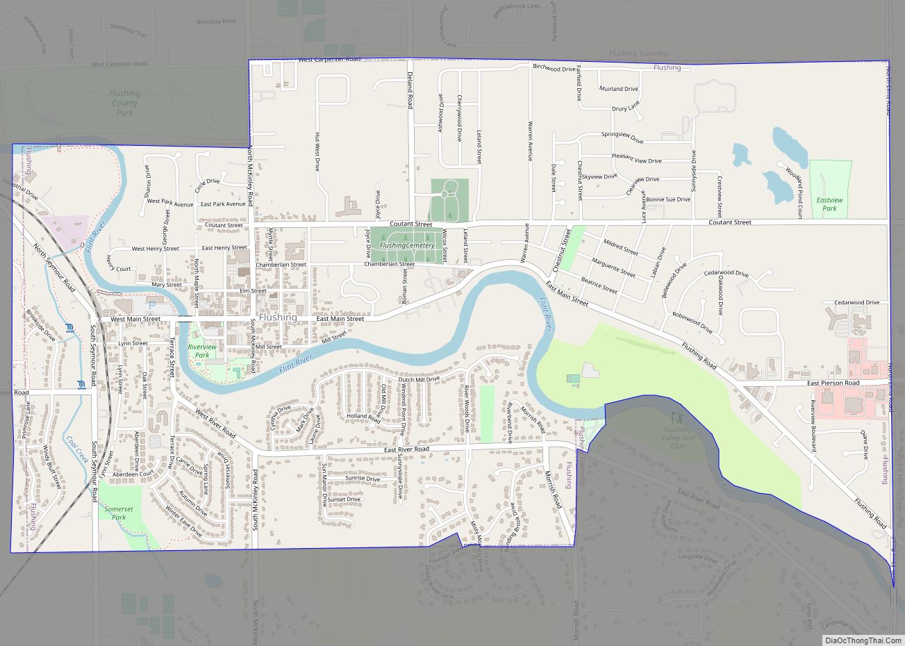
Online Interactive Map
Click on ![]() to view map in "full screen" mode.
to view map in "full screen" mode.
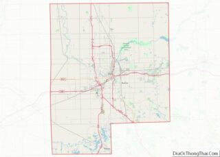
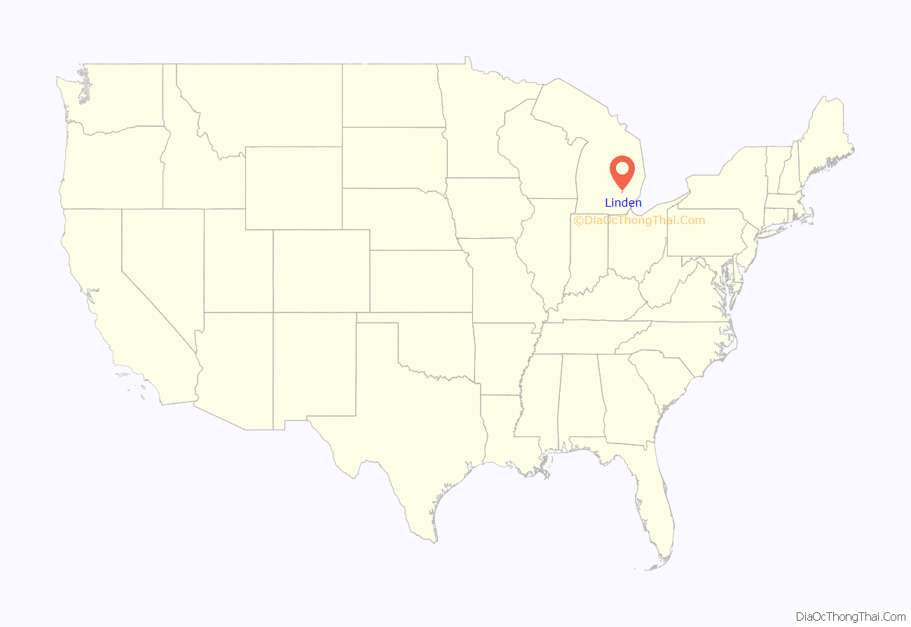
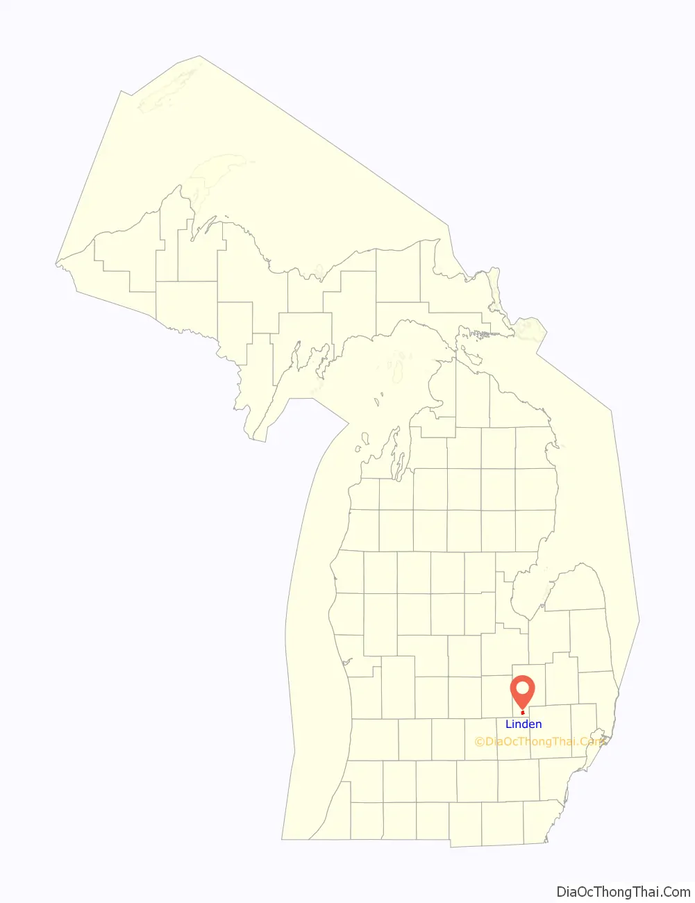
Linden location map. Where is Linden city?
History
Linden was settled in late 1835 by two brothers, Richard and Perry Lamb. Perry Lamb provided housing for travelers. The village of Linden subdivision was platted by Consider Warner and Eben Harris in 1840. Warner and Harris also built the Springer’s Hotel hostelry that same year.
On September 23, 1851, the Linden post office was opened. North Linden village was platted in the northwest corner of section 20 along the railroad on January 31, 1857. Linden was incorporated as a village in 1871 by an act of the Legislature.
In 1974, the community began to hold its Summer Happening festival. In 1988, Linden changed its incorporated status from village to city.
In 2000, Linden, along with Fenton City and Township, passed a millage to turn the Tri-County Parks and Recreation share department into a parks and recreation metropolitan district, while Argentine Township and Tyrone Townships defeated the millage. Tri-County ceased operation on December 1, 2000 when the Southern Lakes Regional Parks and Recreation District began operations.
On May 18, 2007, a fire destroyed the historic Union Block of businesses and apartments on Broad Street. The building was demolished in August 2007 to make way for future development. In 2008, the LaFontaine family purchased the vacant space of seven lots. In 2014, an underground gasoline leak from the Beacon and Bridge gas station affected Union Block and other downtown properties. Dr. Nicole Wax of Wax Orthodontics of Linden purchased the block from the LaFontaine family in March 2016.
Summer Happenings was not held in 2011. A competing annual festival, Linden Mills Days, was launched in 2011 when Happenings pulled out of the city. In 2012, Happenings was held on Linden Community Schools grounds; while successful, it could not logistically return in 2013.
In September 2011, one of the Loose Senior Center buildings was destroyed by fire. A capital campaign began to replace the building. In June 2012, the center’s board of directors agreed to place a bid on a building to move to in Fenton Township. Instead, the center added an expansion to an existing building which was finished in December 2013.
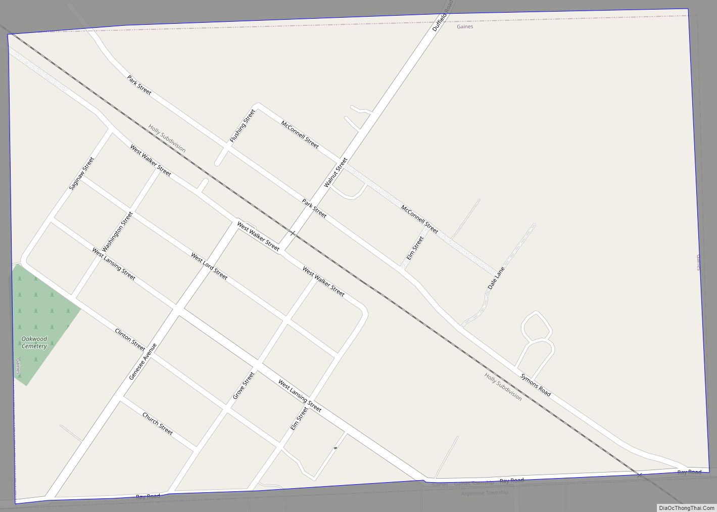
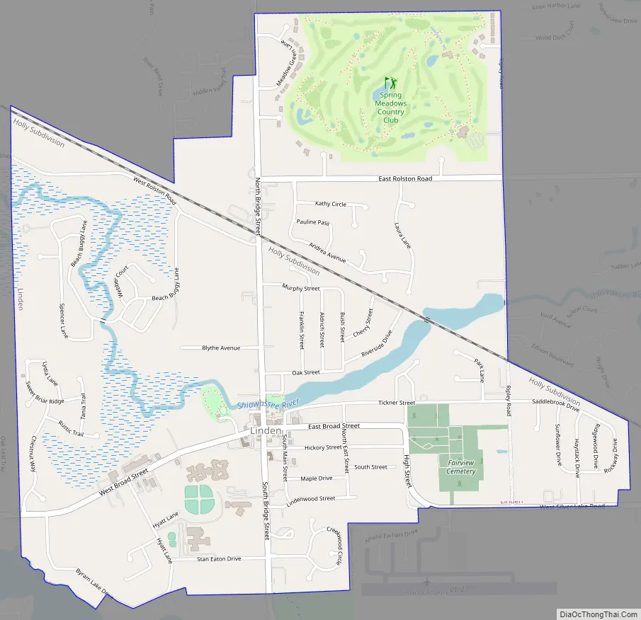
Linden Road Map
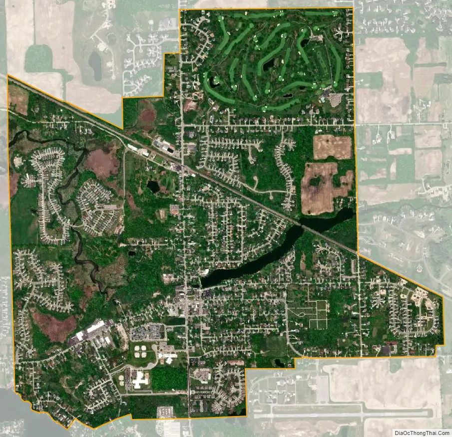
Linden city Satellite Map
Geography
According to the United States Census Bureau, the city has a total area of 2.43 square miles (6.29 km), of which 2.36 square miles (6.11 km) are land and 0.07 square miles (0.18 km) is covered by water. Linden is a lowland area typical of southern Michigan consisting of marsh, swamplands, previously dredged marl bottom lakes and surrounded by the similar geographic area of Fenton Township.
See also
Map of Michigan State and its subdivision:- Alcona
- Alger
- Allegan
- Alpena
- Antrim
- Arenac
- Baraga
- Barry
- Bay
- Benzie
- Berrien
- Branch
- Calhoun
- Cass
- Charlevoix
- Cheboygan
- Chippewa
- Clare
- Clinton
- Crawford
- Delta
- Dickinson
- Eaton
- Emmet
- Genesee
- Gladwin
- Gogebic
- Grand Traverse
- Gratiot
- Hillsdale
- Houghton
- Huron
- Ingham
- Ionia
- Iosco
- Iron
- Isabella
- Jackson
- Kalamazoo
- Kalkaska
- Kent
- Keweenaw
- Lake
- Lake Hurron
- Lake Michigan
- Lake St. Clair
- Lake Superior
- Lapeer
- Leelanau
- Lenawee
- Livingston
- Luce
- Mackinac
- Macomb
- Manistee
- Marquette
- Mason
- Mecosta
- Menominee
- Midland
- Missaukee
- Monroe
- Montcalm
- Montmorency
- Muskegon
- Newaygo
- Oakland
- Oceana
- Ogemaw
- Ontonagon
- Osceola
- Oscoda
- Otsego
- Ottawa
- Presque Isle
- Roscommon
- Saginaw
- Saint Clair
- Saint Joseph
- Sanilac
- Schoolcraft
- Shiawassee
- Tuscola
- Van Buren
- Washtenaw
- Wayne
- Wexford
- Alabama
- Alaska
- Arizona
- Arkansas
- California
- Colorado
- Connecticut
- Delaware
- District of Columbia
- Florida
- Georgia
- Hawaii
- Idaho
- Illinois
- Indiana
- Iowa
- Kansas
- Kentucky
- Louisiana
- Maine
- Maryland
- Massachusetts
- Michigan
- Minnesota
- Mississippi
- Missouri
- Montana
- Nebraska
- Nevada
- New Hampshire
- New Jersey
- New Mexico
- New York
- North Carolina
- North Dakota
- Ohio
- Oklahoma
- Oregon
- Pennsylvania
- Rhode Island
- South Carolina
- South Dakota
- Tennessee
- Texas
- Utah
- Vermont
- Virginia
- Washington
- West Virginia
- Wisconsin
- Wyoming