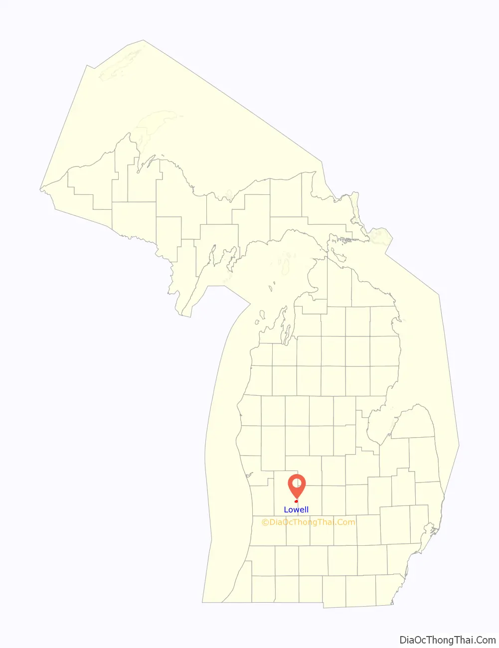
Lowell is a city in Kent County of the U.S. state of Michigan. The population was 3,783 at the 2010 census.
Lowell is part of the Grand Rapids metropolitan area and is about 15 miles (24.1 km) east of the city of Grand Rapids. The city is mostly surrounded by Lowell Township to the south, but the two are administered autonomously. Lowell is situated just north of where the Flat River meets the Grand River. The city’s downtown area is listed on the National Register of Historic Places as the Downtown Lowell Historic District.
| Name: | Lowell city |
|---|---|
| LSAD Code: | 25 |
| LSAD Description: | city (suffix) |
| State: | Michigan |
| County: | Kent County |
| Founded: | 1831 |
| Elevation: | 640 ft (200 m) |
| Total Area: | 3.10 sq mi (8.03 km²) |
| Land Area: | 2.88 sq mi (7.46 km²) |
| Water Area: | 0.22 sq mi (0.57 km²) |
| Total Population: | 4,142 |
| Population Density: | 1,438.19/sq mi (555.29/km²) |
| Area code: | 616 |
| FIPS code: | 2649540 |
| GNISfeature ID: | 1626644 |
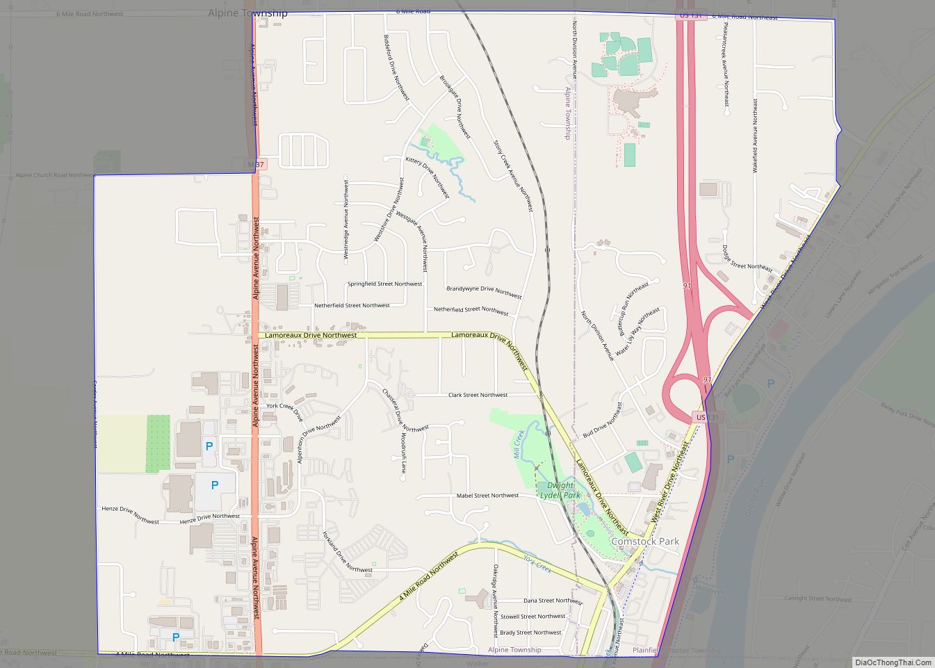
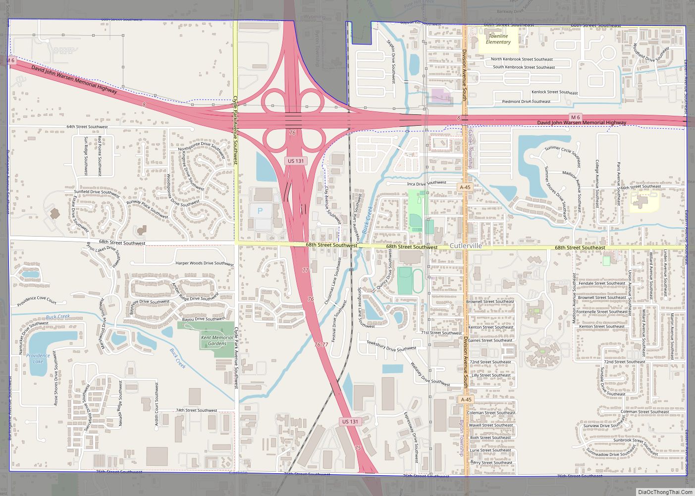
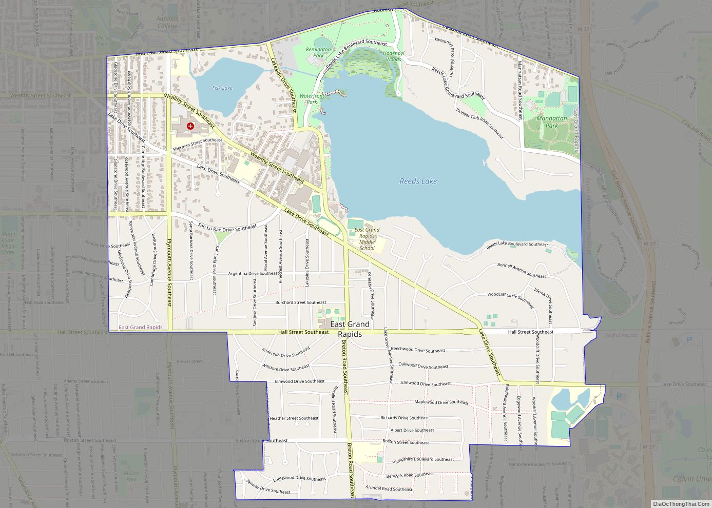
Online Interactive Map
Click on ![]() to view map in "full screen" mode.
to view map in "full screen" mode.
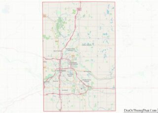
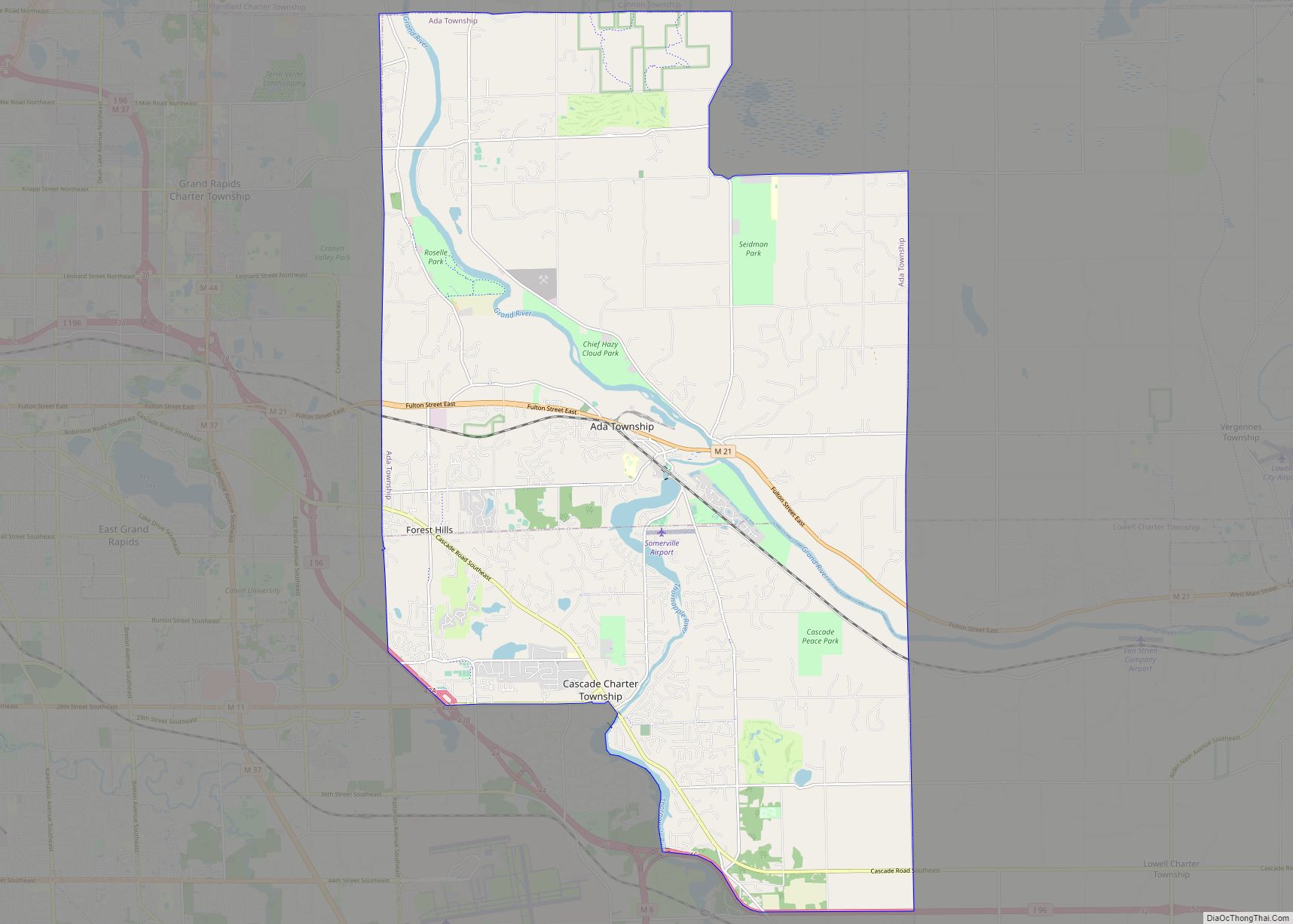
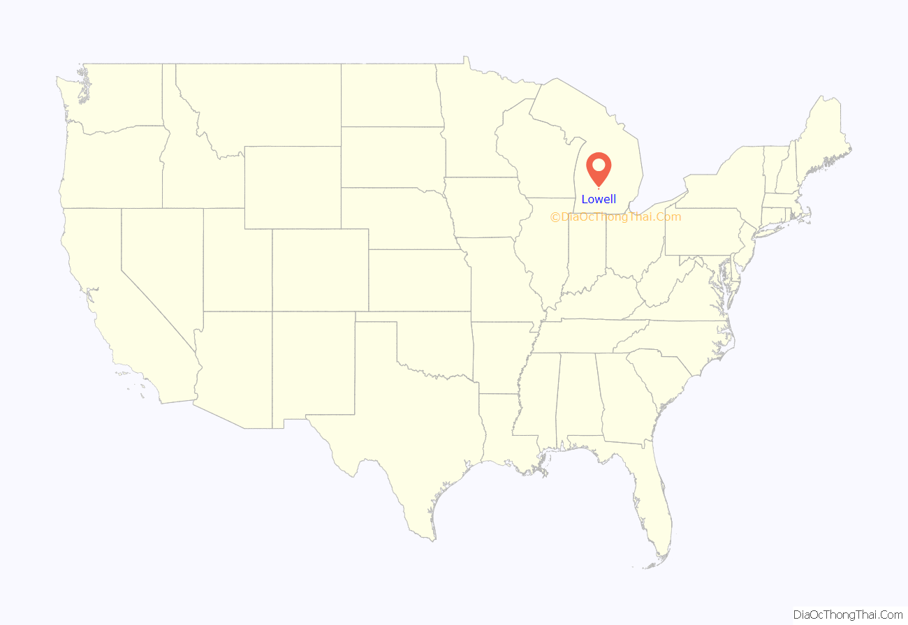
Lowell location map. Where is Lowell city?
History
The earliest modern residents of the Flat River and Grand River were the Grand River Odawa, who established several villages along the Grand River. In the first decades of the 19th century, the village was led by Wabiwindego and Keewaycooshcum, and later by Cobmoosa. In the 1830s, Cobmoosa purchased the land under the Odawa village in the name of his father, fur trader Antoine Campau. The Odawa remained at their village on the Flat River until 1858, when they moved to a reservation at Manistee, Michigan.
The modern city of Lowell was founded in 1831 by Daniel Marsac as a trading post with this existing Odawa village, built on the south bank of the Grand River. During the first years of his trading post, Marsac lived with the Grand River Odawa leader Wabiwindego. In 1847, he purchased land on the north side of the river and platted it as “Dansville”. In 1851, a post office was established there named “Lowell” after the township. The community was replatted in 1854 and renamed after the post office. It incorporated as a village in 1861.
Lowell Road Map
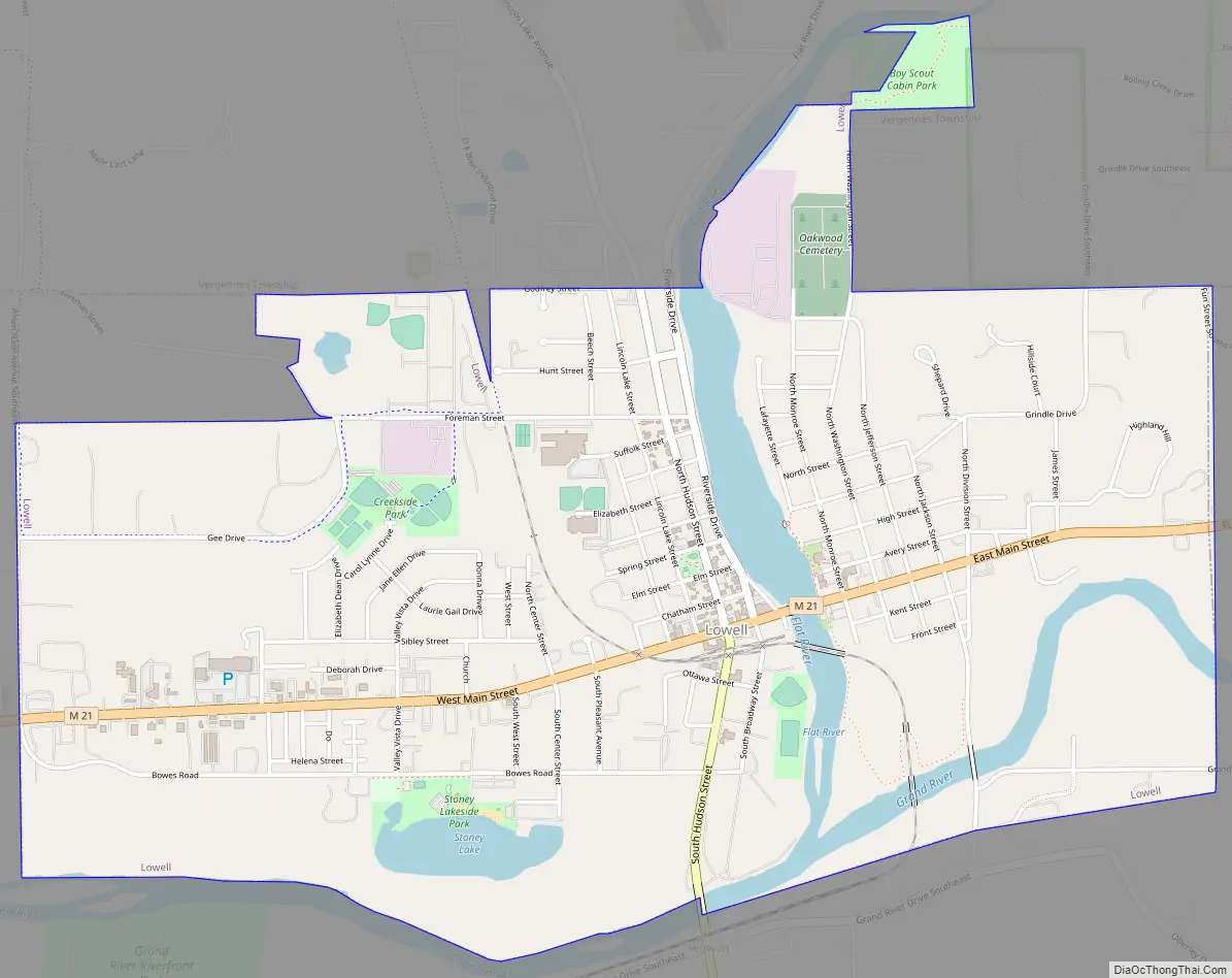
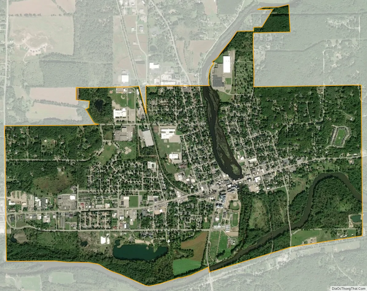
Lowell city Satellite Map
Geography
According to the U.S. Census Bureau, the city has a total area of 3.10 square miles (8.03 km), of which 2.88 square miles (7.46 km) is land and 0.22 square miles (0.57 km) (7.10%) is water.
Lowell is the home of the North Country Trail Association. In the Lowell area, the trail runs just north of downtown and along portions of the Flat River.
Major highways
- M-21 runs east and west though the center of the community.
Climate
This climatic region is typified by large seasonal temperature differences, with warm to hot (and often humid) summers and cold (sometimes severely cold) winters. According to the Köppen Climate Classification system, Lowell has a humid continental climate, abbreviated “Dfb” on climate maps.
See also
Map of Michigan State and its subdivision:- Alcona
- Alger
- Allegan
- Alpena
- Antrim
- Arenac
- Baraga
- Barry
- Bay
- Benzie
- Berrien
- Branch
- Calhoun
- Cass
- Charlevoix
- Cheboygan
- Chippewa
- Clare
- Clinton
- Crawford
- Delta
- Dickinson
- Eaton
- Emmet
- Genesee
- Gladwin
- Gogebic
- Grand Traverse
- Gratiot
- Hillsdale
- Houghton
- Huron
- Ingham
- Ionia
- Iosco
- Iron
- Isabella
- Jackson
- Kalamazoo
- Kalkaska
- Kent
- Keweenaw
- Lake
- Lake Hurron
- Lake Michigan
- Lake St. Clair
- Lake Superior
- Lapeer
- Leelanau
- Lenawee
- Livingston
- Luce
- Mackinac
- Macomb
- Manistee
- Marquette
- Mason
- Mecosta
- Menominee
- Midland
- Missaukee
- Monroe
- Montcalm
- Montmorency
- Muskegon
- Newaygo
- Oakland
- Oceana
- Ogemaw
- Ontonagon
- Osceola
- Oscoda
- Otsego
- Ottawa
- Presque Isle
- Roscommon
- Saginaw
- Saint Clair
- Saint Joseph
- Sanilac
- Schoolcraft
- Shiawassee
- Tuscola
- Van Buren
- Washtenaw
- Wayne
- Wexford
- Alabama
- Alaska
- Arizona
- Arkansas
- California
- Colorado
- Connecticut
- Delaware
- District of Columbia
- Florida
- Georgia
- Hawaii
- Idaho
- Illinois
- Indiana
- Iowa
- Kansas
- Kentucky
- Louisiana
- Maine
- Maryland
- Massachusetts
- Michigan
- Minnesota
- Mississippi
- Missouri
- Montana
- Nebraska
- Nevada
- New Hampshire
- New Jersey
- New Mexico
- New York
- North Carolina
- North Dakota
- Ohio
- Oklahoma
- Oregon
- Pennsylvania
- Rhode Island
- South Carolina
- South Dakota
- Tennessee
- Texas
- Utah
- Vermont
- Virginia
- Washington
- West Virginia
- Wisconsin
- Wyoming