Mount Morris is a city in Genesee County in the U.S. state of Michigan. The population was 3,086 at the 2010 census. The city is bordered by Mount Morris Township on the west and Genesee Township on the east. It was named after Mount Morris, New York, because many of the early settlers had come from there.
| Name: | Mount Morris city |
|---|---|
| LSAD Code: | 25 |
| LSAD Description: | city (suffix) |
| State: | Michigan |
| County: | Genesee County |
| Incorporated: | 1867 (village) 1929 (city) |
| Elevation: | 774 ft (236 m) |
| Total Area: | 1.15 sq mi (2.97 km²) |
| Land Area: | 1.15 sq mi (2.97 km²) |
| Water Area: | 0.00 sq mi (0.00 km²) |
| Total Population: | 3,170 |
| Population Density: | 2,761.32/sq mi (1,065.86/km²) |
| Area code: | 810 |
| FIPS code: | 2655960 |
| GNISfeature ID: | 0632820 |
| Website: | www.cityofmtmorris.org |
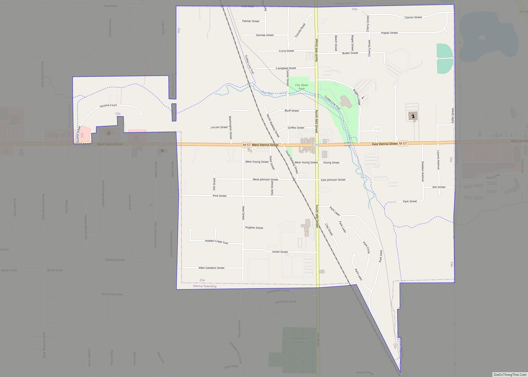
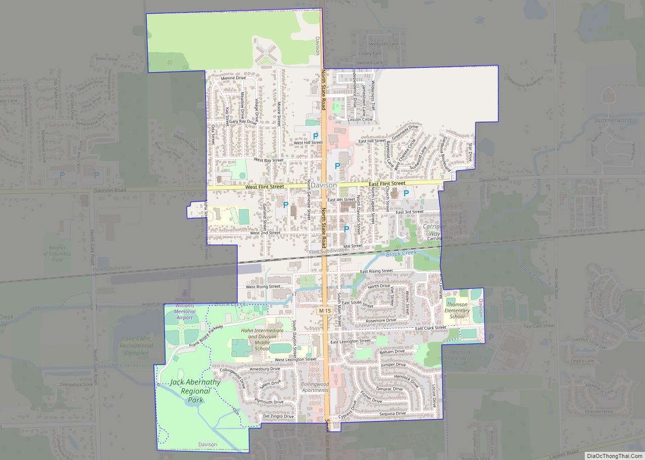
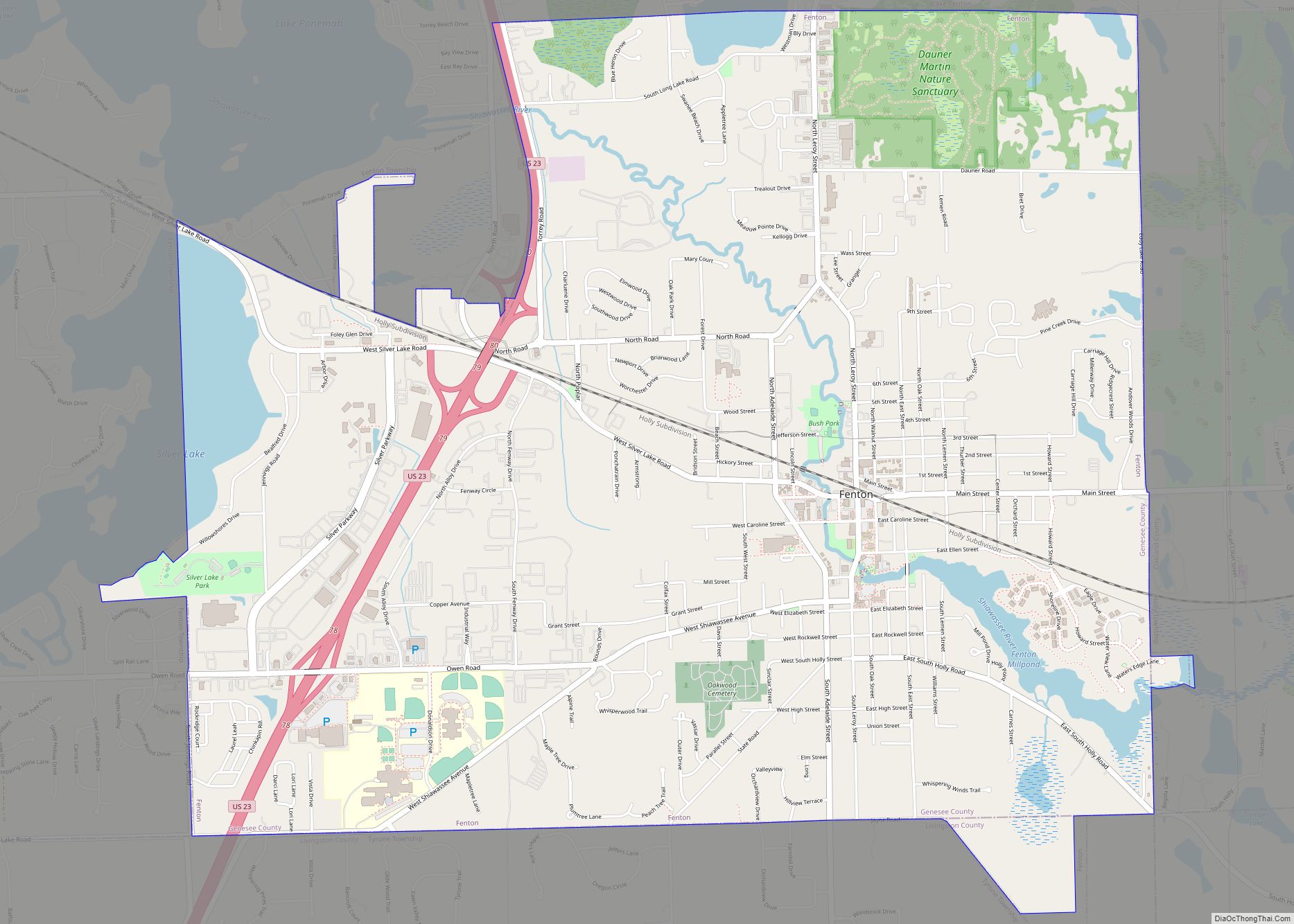
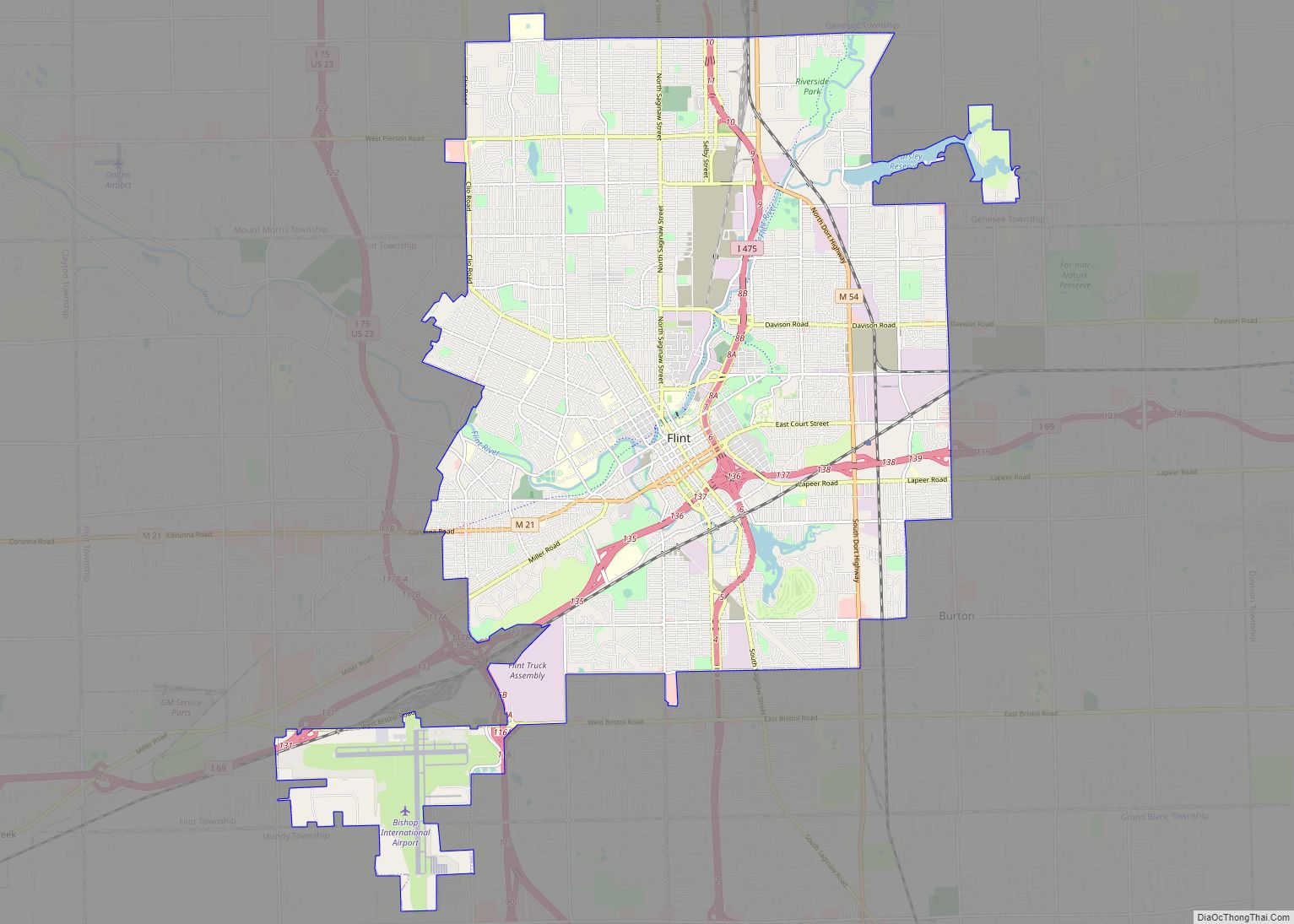
Online Interactive Map
Click on ![]() to view map in "full screen" mode.
to view map in "full screen" mode.
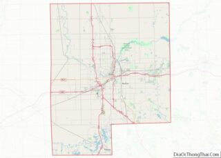
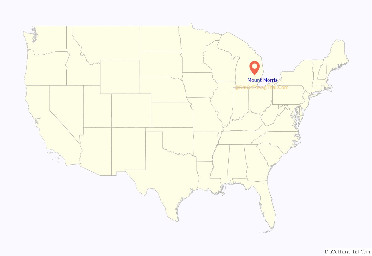
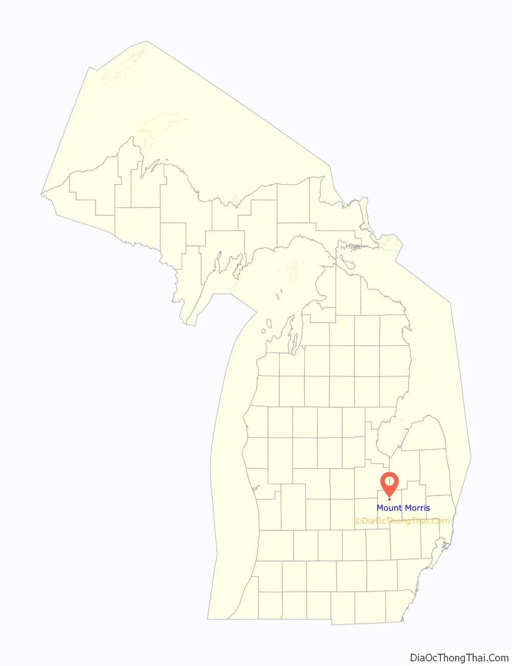
Mount Morris location map. Where is Mount Morris city?
History
Benjamin Pearson was the first settler in the area in 1833. In 1836, Frederick Walker was the first to settle within the future village site. A post office named Mount Morris was established on July 11, 1837, with Charles N. Beecher as the first postmaster. The name of the office was changed to Genesee on January 19, 1839, and back to Mount Morris on April 25, 1857. The name became Mount Morris Station on April 17, 1865, and finally reverted to Mount Morris on March 9, 1874. Development was spurred with the building of a line of the Pere Marquette Railway (now owned by Lake State Railway) in 1857. The settlement was first platted as Dover in 1862 and was incorporated as the village of Mount Morris in 1867. It reincorporated as a city in 1929.
On Monday, November 27, 2017, the northern Genesee County loop set of municipalities, including Mount Morris, began receiving water from the Karegnondi Water Authority pipeline treated by Genesee County Drain Commission Water and Waste Division.
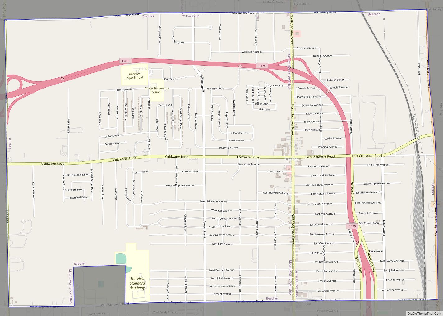
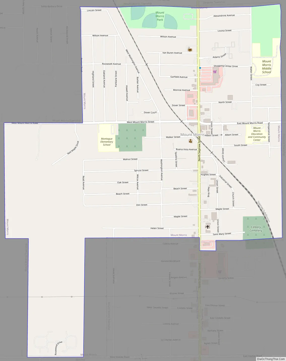
Mount Morris Road Map
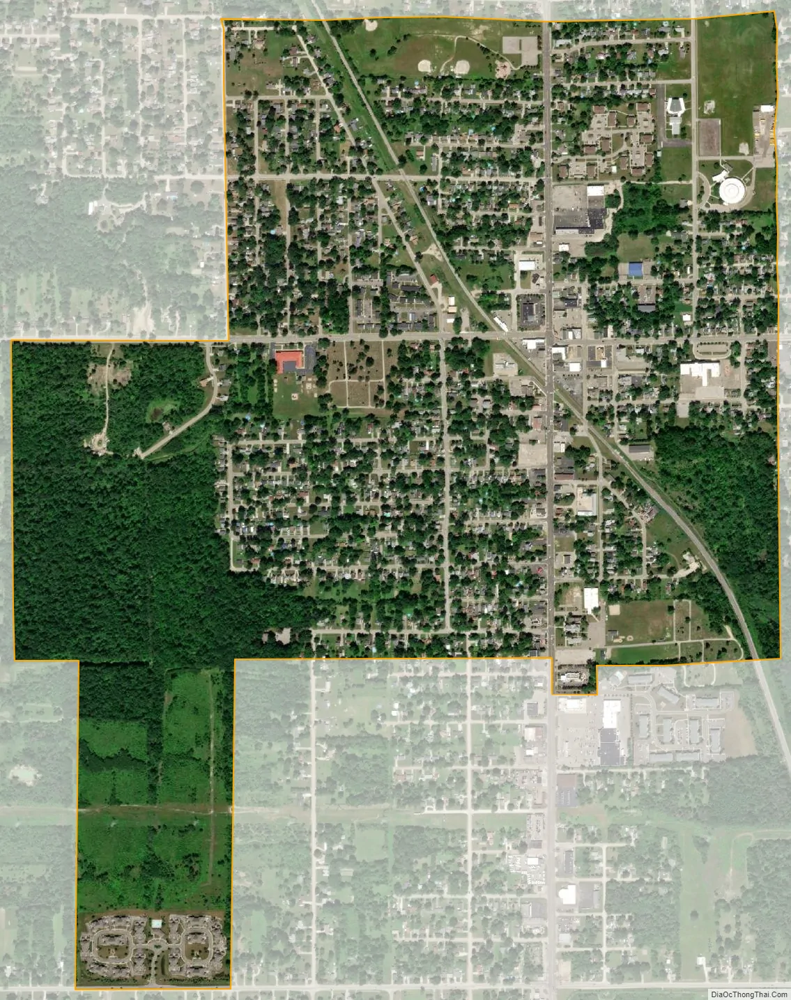
Mount Morris city Satellite Map
Geography
According to the United States Census Bureau, the city has a total area of 1.20 square miles (3.11 km), all land.
See also
Map of Michigan State and its subdivision:- Alcona
- Alger
- Allegan
- Alpena
- Antrim
- Arenac
- Baraga
- Barry
- Bay
- Benzie
- Berrien
- Branch
- Calhoun
- Cass
- Charlevoix
- Cheboygan
- Chippewa
- Clare
- Clinton
- Crawford
- Delta
- Dickinson
- Eaton
- Emmet
- Genesee
- Gladwin
- Gogebic
- Grand Traverse
- Gratiot
- Hillsdale
- Houghton
- Huron
- Ingham
- Ionia
- Iosco
- Iron
- Isabella
- Jackson
- Kalamazoo
- Kalkaska
- Kent
- Keweenaw
- Lake
- Lake Hurron
- Lake Michigan
- Lake St. Clair
- Lake Superior
- Lapeer
- Leelanau
- Lenawee
- Livingston
- Luce
- Mackinac
- Macomb
- Manistee
- Marquette
- Mason
- Mecosta
- Menominee
- Midland
- Missaukee
- Monroe
- Montcalm
- Montmorency
- Muskegon
- Newaygo
- Oakland
- Oceana
- Ogemaw
- Ontonagon
- Osceola
- Oscoda
- Otsego
- Ottawa
- Presque Isle
- Roscommon
- Saginaw
- Saint Clair
- Saint Joseph
- Sanilac
- Schoolcraft
- Shiawassee
- Tuscola
- Van Buren
- Washtenaw
- Wayne
- Wexford
- Alabama
- Alaska
- Arizona
- Arkansas
- California
- Colorado
- Connecticut
- Delaware
- District of Columbia
- Florida
- Georgia
- Hawaii
- Idaho
- Illinois
- Indiana
- Iowa
- Kansas
- Kentucky
- Louisiana
- Maine
- Maryland
- Massachusetts
- Michigan
- Minnesota
- Mississippi
- Missouri
- Montana
- Nebraska
- Nevada
- New Hampshire
- New Jersey
- New Mexico
- New York
- North Carolina
- North Dakota
- Ohio
- Oklahoma
- Oregon
- Pennsylvania
- Rhode Island
- South Carolina
- South Dakota
- Tennessee
- Texas
- Utah
- Vermont
- Virginia
- Washington
- West Virginia
- Wisconsin
- Wyoming