North Branch is a village in Lapeer County in the U.S. state of Michigan. The population was 1,033 at the 2010 census. The village is located within North Branch Township.
| Name: | North Branch village |
|---|---|
| LSAD Code: | 47 |
| LSAD Description: | village (suffix) |
| State: | Michigan |
| County: | Lapeer County |
| Elevation: | 814 ft (248 m) |
| Total Area: | 1.44 sq mi (3.74 km²) |
| Land Area: | 1.44 sq mi (3.74 km²) |
| Water Area: | 0.00 sq mi (0.00 km²) |
| Total Population: | 1,096 |
| Population Density: | 760.06/sq mi (293.38/km²) |
| ZIP code: | 48461 |
| Area code: | 810 |
| FIPS code: | 2658080 |
| GNISfeature ID: | 0633486 |
| Website: | northbranchvillage.org |
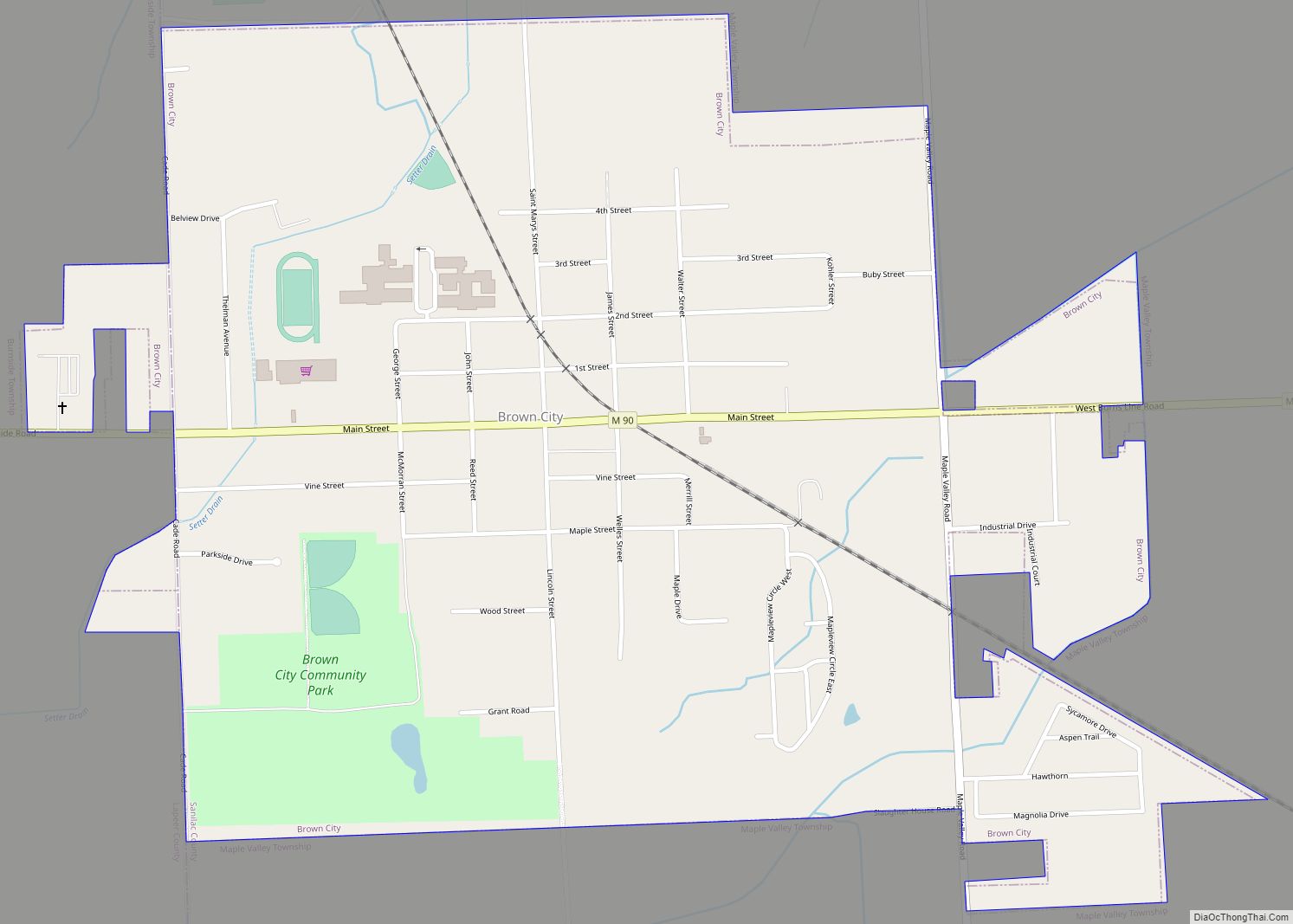
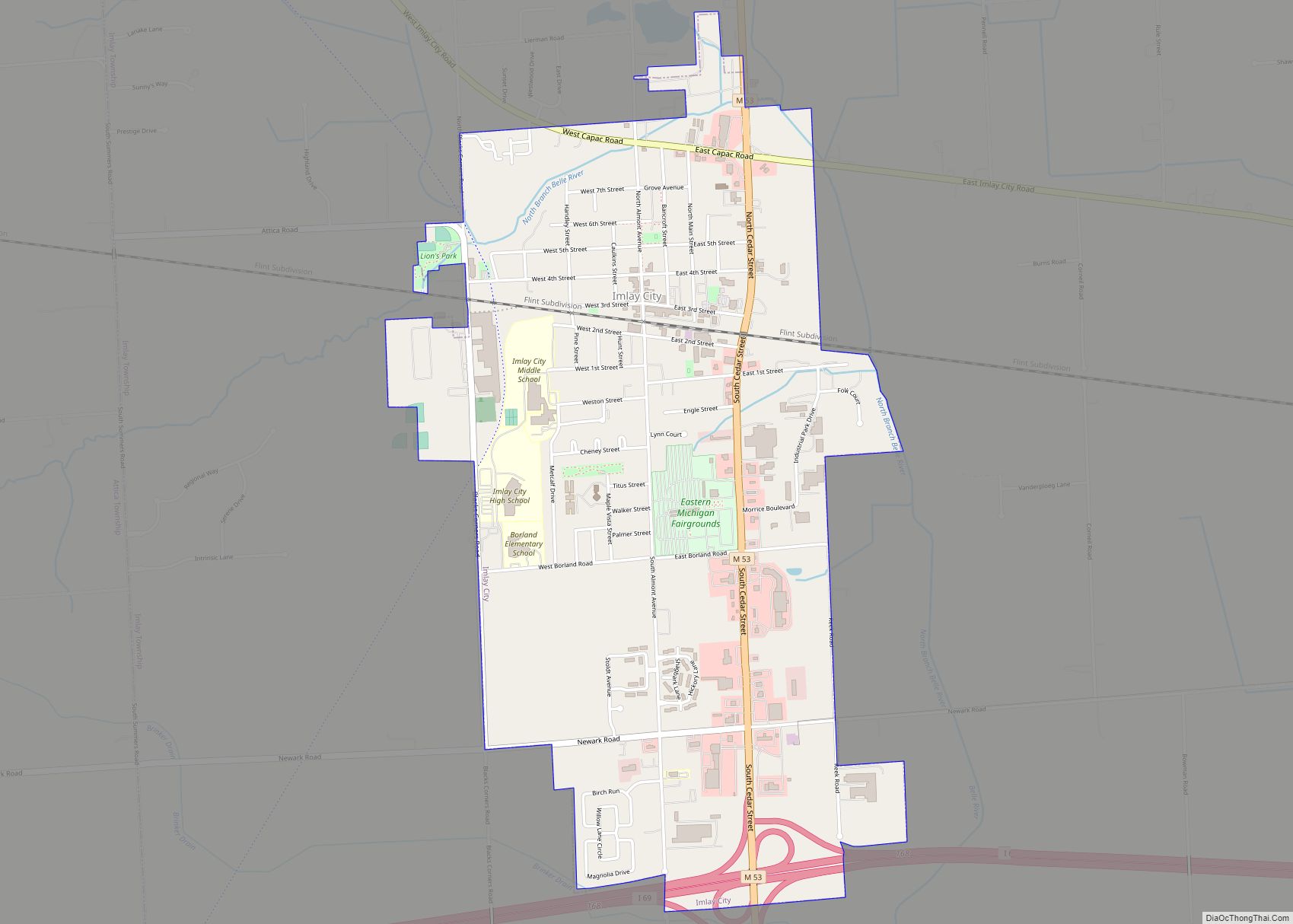
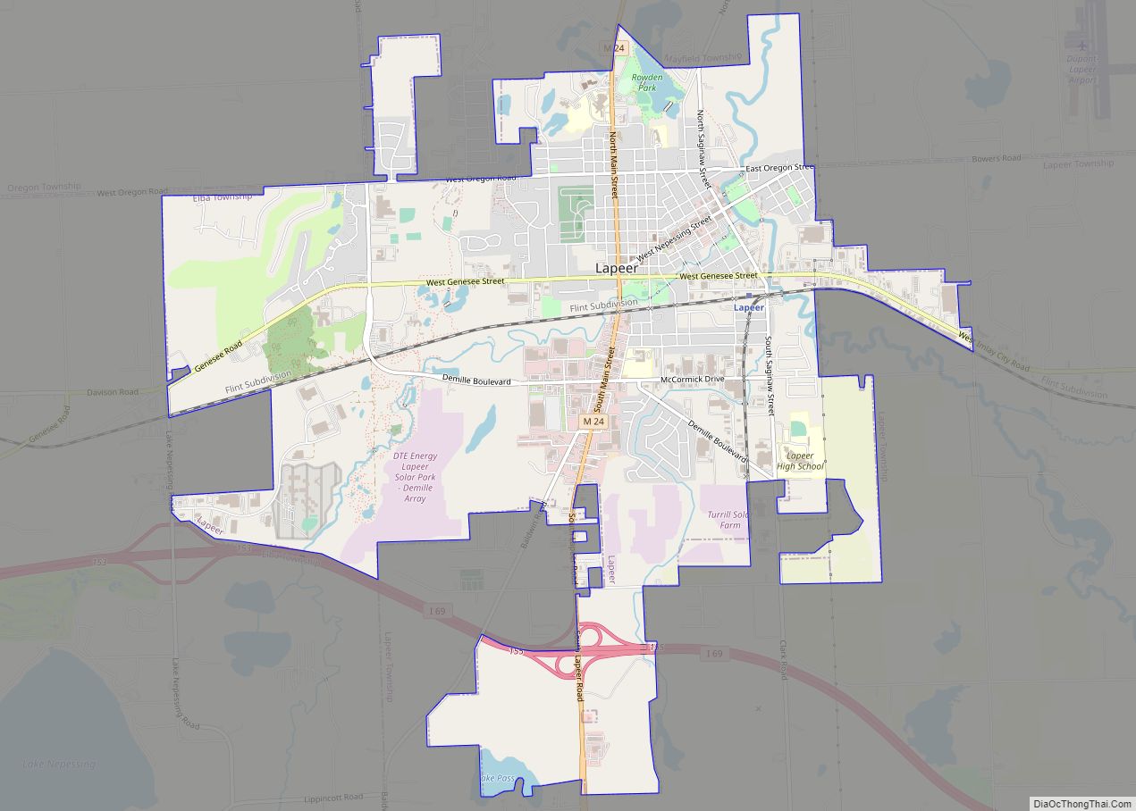
Online Interactive Map
Click on ![]() to view map in "full screen" mode.
to view map in "full screen" mode.
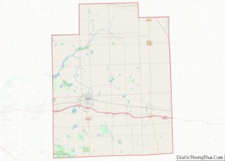
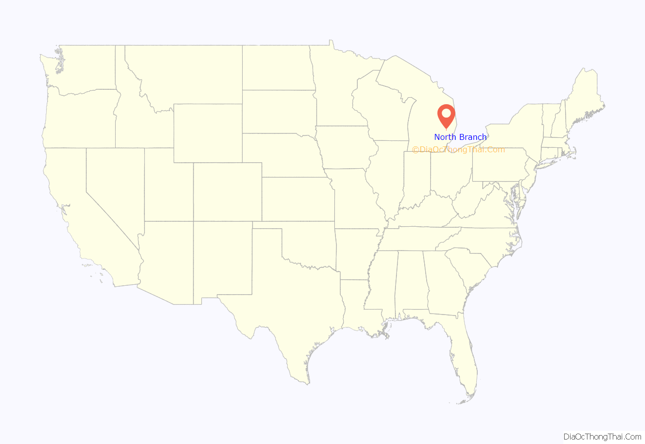
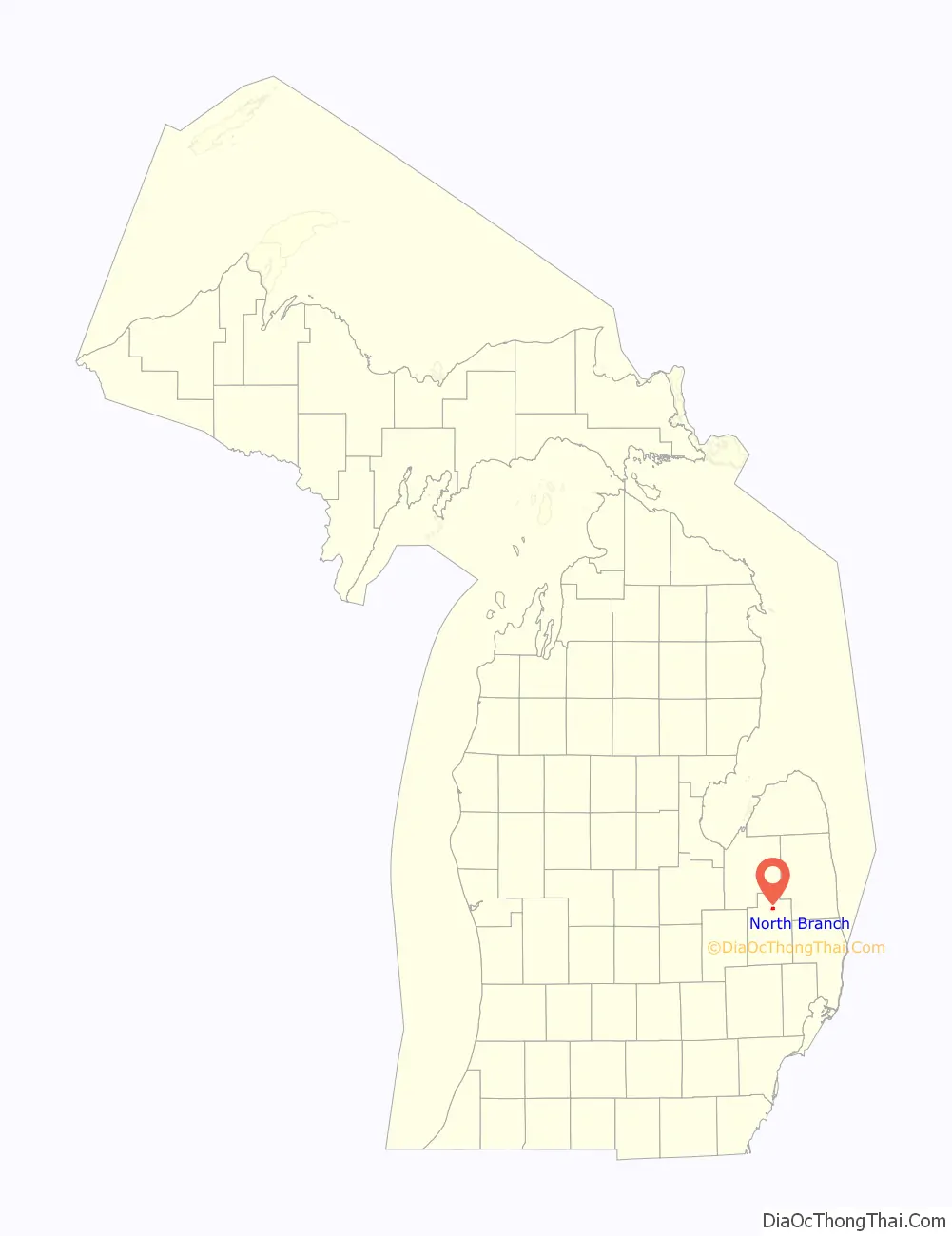
North Branch location map. Where is North Branch village?
History
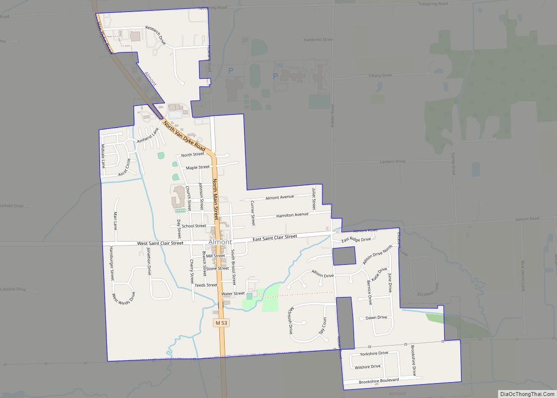
In 1854 the earliest settling of North Branch was undertaken. The founding fathers were Mr. and Mrs. Richard Beach and Mr. and Mrs. George Simmons. The nucleus of the village was the post office, store and trading post founded by John and Richard Beach. The Village was incorporated in 1881, and at the time, the population was 900. The town of North Branch sits on the north branch of the Flint River which flows through the township and is the principal waterway. The main thoroughfare is Huron Street. Two major fires mark the history of North Branch. The Great Michigan Fire in 1871 and the Thumb Fire in 1881 destroyed many parts of the town.
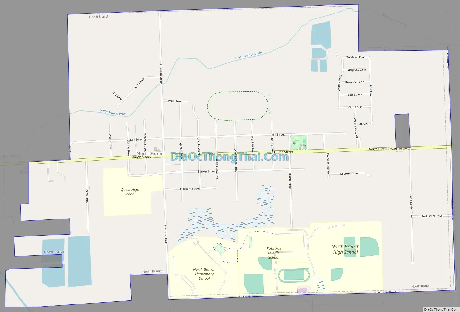
North Branch Road Map
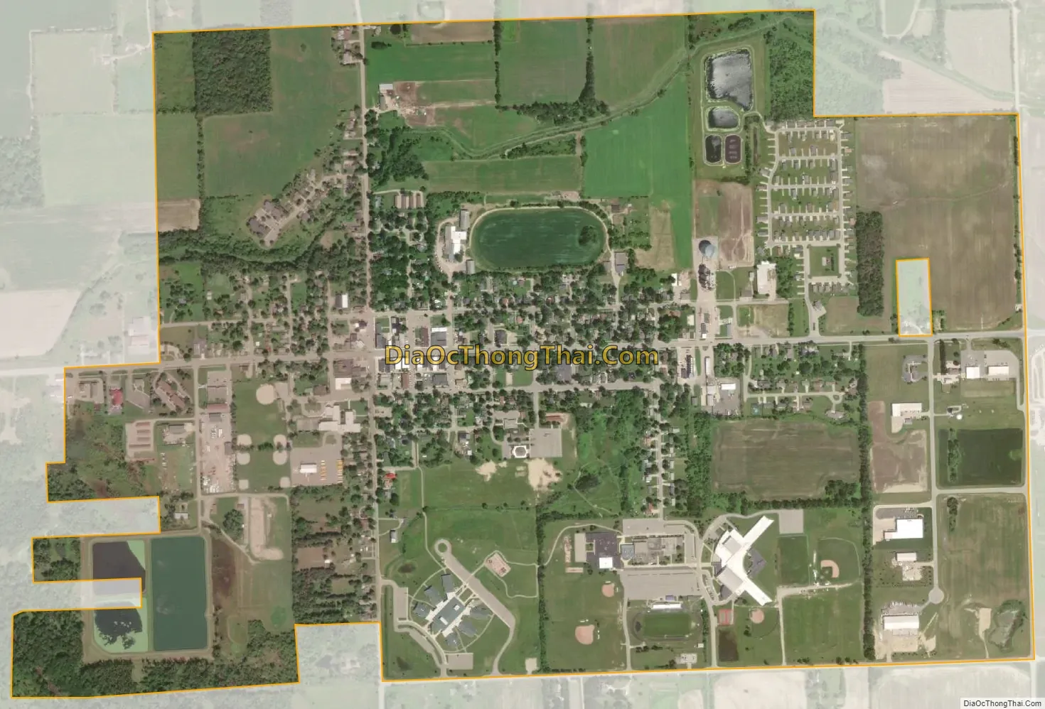
North Branch city Satellite Map
Geography
According to the United States Census Bureau, the village has a total area of 1.33 square miles (3.44 km), all land.
See also
Map of Michigan State and its subdivision:- Alcona
- Alger
- Allegan
- Alpena
- Antrim
- Arenac
- Baraga
- Barry
- Bay
- Benzie
- Berrien
- Branch
- Calhoun
- Cass
- Charlevoix
- Cheboygan
- Chippewa
- Clare
- Clinton
- Crawford
- Delta
- Dickinson
- Eaton
- Emmet
- Genesee
- Gladwin
- Gogebic
- Grand Traverse
- Gratiot
- Hillsdale
- Houghton
- Huron
- Ingham
- Ionia
- Iosco
- Iron
- Isabella
- Jackson
- Kalamazoo
- Kalkaska
- Kent
- Keweenaw
- Lake
- Lake Hurron
- Lake Michigan
- Lake St. Clair
- Lake Superior
- Lapeer
- Leelanau
- Lenawee
- Livingston
- Luce
- Mackinac
- Macomb
- Manistee
- Marquette
- Mason
- Mecosta
- Menominee
- Midland
- Missaukee
- Monroe
- Montcalm
- Montmorency
- Muskegon
- Newaygo
- Oakland
- Oceana
- Ogemaw
- Ontonagon
- Osceola
- Oscoda
- Otsego
- Ottawa
- Presque Isle
- Roscommon
- Saginaw
- Saint Clair
- Saint Joseph
- Sanilac
- Schoolcraft
- Shiawassee
- Tuscola
- Van Buren
- Washtenaw
- Wayne
- Wexford
- Alabama
- Alaska
- Arizona
- Arkansas
- California
- Colorado
- Connecticut
- Delaware
- District of Columbia
- Florida
- Georgia
- Hawaii
- Idaho
- Illinois
- Indiana
- Iowa
- Kansas
- Kentucky
- Louisiana
- Maine
- Maryland
- Massachusetts
- Michigan
- Minnesota
- Mississippi
- Missouri
- Montana
- Nebraska
- Nevada
- New Hampshire
- New Jersey
- New Mexico
- New York
- North Carolina
- North Dakota
- Ohio
- Oklahoma
- Oregon
- Pennsylvania
- Rhode Island
- South Carolina
- South Dakota
- Tennessee
- Texas
- Utah
- Vermont
- Virginia
- Washington
- West Virginia
- Wisconsin
- Wyoming