Imlay City is a city in Lapeer County in the U.S. state of Michigan. The population was 3,869 at the 2000 census and 3,585 at the 2020 census.
| Name: | Imlay City city |
|---|---|
| LSAD Code: | 25 |
| LSAD Description: | city (suffix) |
| State: | Michigan |
| County: | Lapeer County |
| Elevation: | 827 ft (252 m) |
| Total Area: | 2.45 sq mi (6.35 km²) |
| Land Area: | 2.45 sq mi (6.35 km²) |
| Water Area: | 0.00 sq mi (0.00 km²) |
| Total Population: | 3,703 |
| Population Density: | 1,510.81/sq mi (583.30/km²) |
| ZIP code: | 48444 |
| Area code: | 810 |
| FIPS code: | 2640320 |
| GNISfeature ID: | 0628928 |
| Website: | www.imlaycity.org |
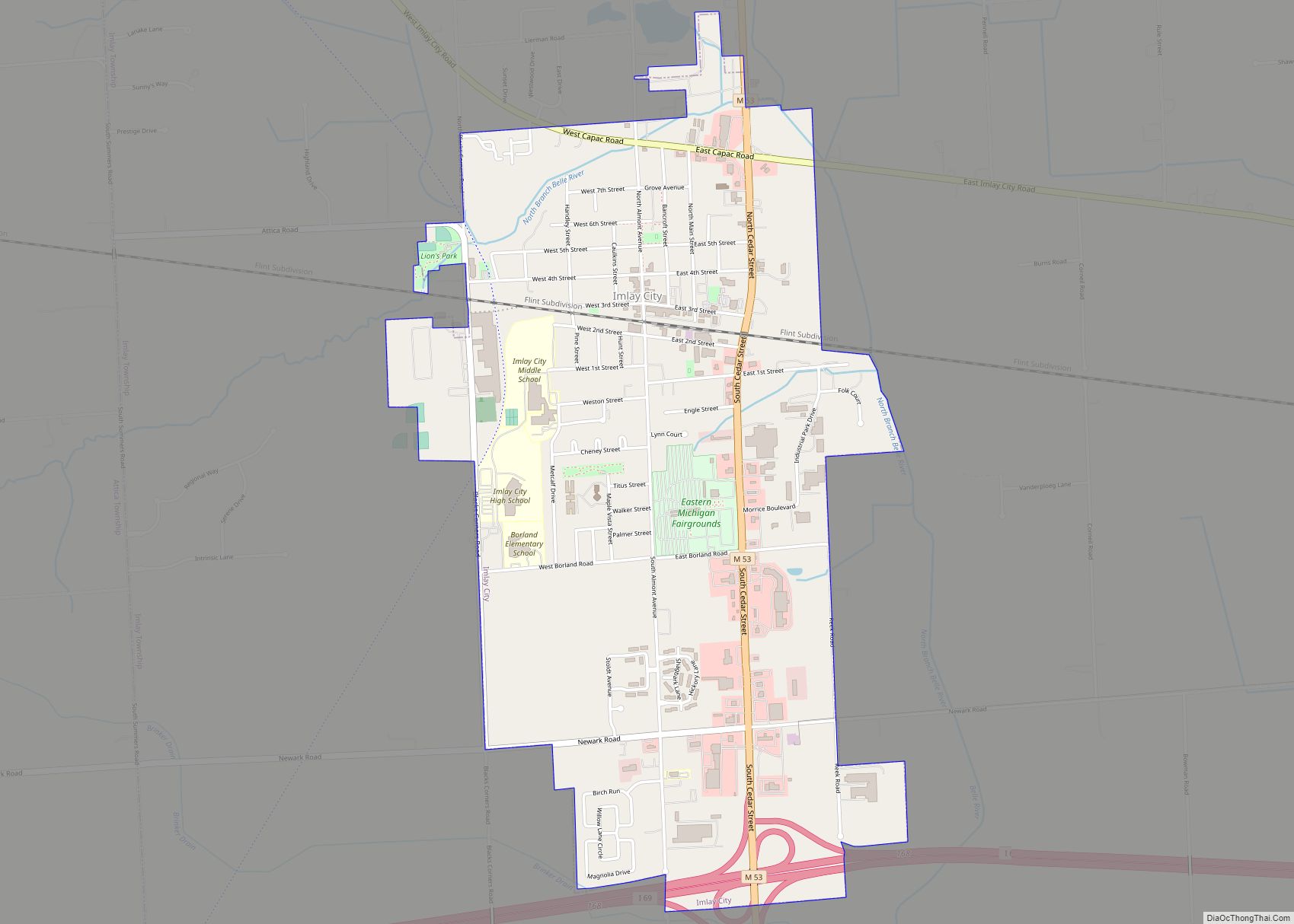
Online Interactive Map
Click on ![]() to view map in "full screen" mode.
to view map in "full screen" mode.
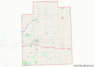
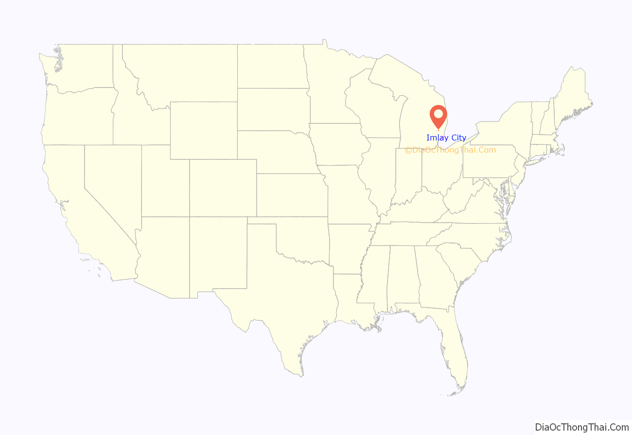
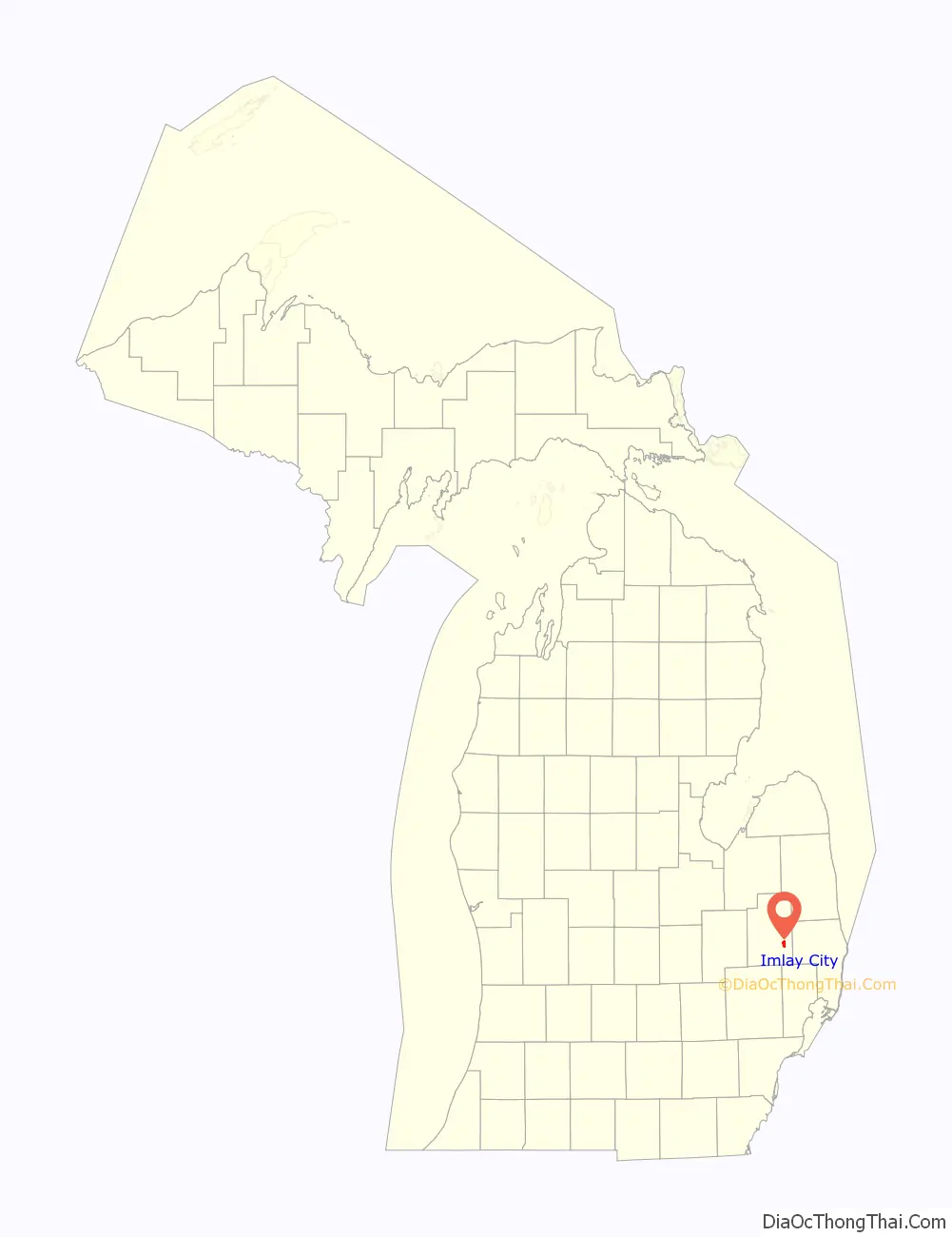
Imlay City location map. Where is Imlay City city?
History
Imlay City was founded on April 1, 1850, by Charles Palmer, the chief engineer of the Port Huron and Lake Michigan Railroad, who bought 240 acres of land along the railroad’s route at a location Palmer anticipated would be a likely produce center between the towns of Capac and Lapeer. Palmer named the city for the Hartford, Connecticut-based capitalist William Henry Imlay (d. 4 Sep 1858), who had invested heavily in the area’s natural resources after moving there in 1828. Within a year and a half, the newly established city had attracted 500 residents with over 120 buildings including two hotels, 20 stores, a sawmill, and a school.
In 1914, the city started building streetcar lines—a form of public transportation that was usually reserved for large cities. In April 1970, Imlay City celebrated its 100th birthday, and the residents voted to change Imlay City from a village to a home rule city by a two to one margin. The construction of Interstate 69 in the 1980s connected Imlay City with Flint, Port Huron, and Canada, leading to significant economic growth to serve the interstate travelers.
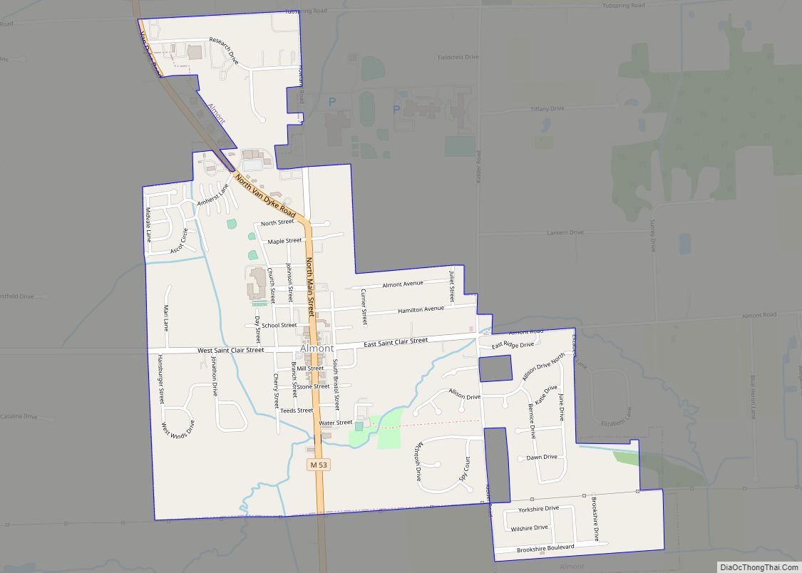
Imlay City Road Map

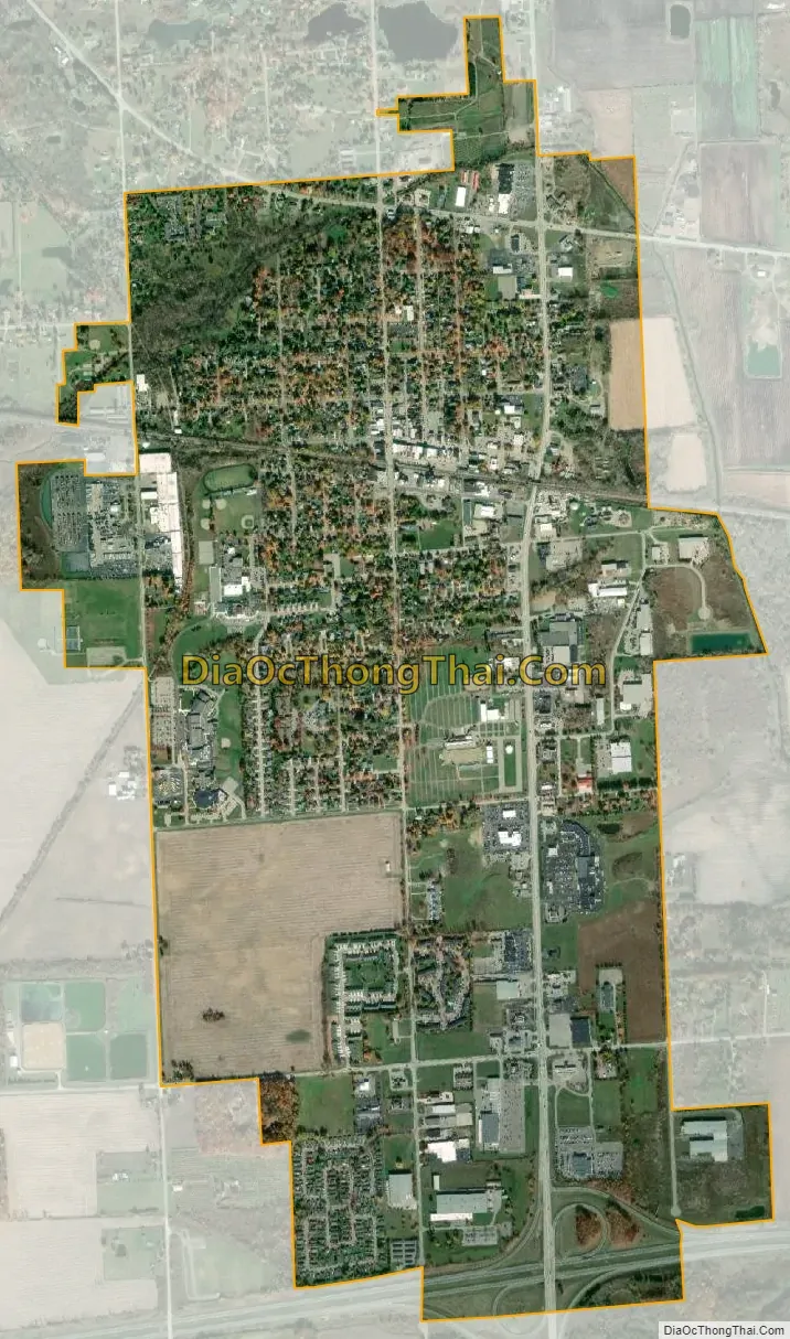
Imlay City city Satellite Map
Geography
- According to the United States Census Bureau, the city has a total area of 2.37 square miles (6.14 km), all land.
- It is considered to be part of the Thumb of Michigan
- Imlay City intersects two major Michigan highways, Interstate 69 and M-53 (also known as Van Dyke Rd).
See also
Map of Michigan State and its subdivision:- Alcona
- Alger
- Allegan
- Alpena
- Antrim
- Arenac
- Baraga
- Barry
- Bay
- Benzie
- Berrien
- Branch
- Calhoun
- Cass
- Charlevoix
- Cheboygan
- Chippewa
- Clare
- Clinton
- Crawford
- Delta
- Dickinson
- Eaton
- Emmet
- Genesee
- Gladwin
- Gogebic
- Grand Traverse
- Gratiot
- Hillsdale
- Houghton
- Huron
- Ingham
- Ionia
- Iosco
- Iron
- Isabella
- Jackson
- Kalamazoo
- Kalkaska
- Kent
- Keweenaw
- Lake
- Lake Hurron
- Lake Michigan
- Lake St. Clair
- Lake Superior
- Lapeer
- Leelanau
- Lenawee
- Livingston
- Luce
- Mackinac
- Macomb
- Manistee
- Marquette
- Mason
- Mecosta
- Menominee
- Midland
- Missaukee
- Monroe
- Montcalm
- Montmorency
- Muskegon
- Newaygo
- Oakland
- Oceana
- Ogemaw
- Ontonagon
- Osceola
- Oscoda
- Otsego
- Ottawa
- Presque Isle
- Roscommon
- Saginaw
- Saint Clair
- Saint Joseph
- Sanilac
- Schoolcraft
- Shiawassee
- Tuscola
- Van Buren
- Washtenaw
- Wayne
- Wexford
- Alabama
- Alaska
- Arizona
- Arkansas
- California
- Colorado
- Connecticut
- Delaware
- District of Columbia
- Florida
- Georgia
- Hawaii
- Idaho
- Illinois
- Indiana
- Iowa
- Kansas
- Kentucky
- Louisiana
- Maine
- Maryland
- Massachusetts
- Michigan
- Minnesota
- Mississippi
- Missouri
- Montana
- Nebraska
- Nevada
- New Hampshire
- New Jersey
- New Mexico
- New York
- North Carolina
- North Dakota
- Ohio
- Oklahoma
- Oregon
- Pennsylvania
- Rhode Island
- South Carolina
- South Dakota
- Tennessee
- Texas
- Utah
- Vermont
- Virginia
- Washington
- West Virginia
- Wisconsin
- Wyoming