Novi (/ˈnoʊvaɪ/ NOVE-eye) is a city in Oakland County in the U.S. state of Michigan. As of the 2020 census, the population was 66,243, an increase of 20% from the 2010 census.
A northern suburb of Metro Detroit, Novi is located about 24 miles (38.6 km) northwest of the city of Detroit and about 16 miles (25.7 km) northeast of Ann Arbor. The city is located within the boundaries of the survey township of Novi Township, which now also includes portions of the cities of Northville and Walled Lake. The remaining unincorporated township is only a tiny fraction of 0.11 square miles (0.28 km) surrounded by the city.
| Name: | Novi city |
|---|---|
| LSAD Code: | 25 |
| LSAD Description: | city (suffix) |
| State: | Michigan |
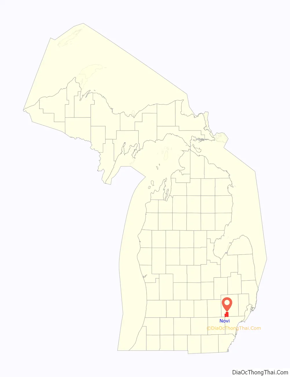
| County: | Oakland County |
| Incorporated: | 1969 (city) |
| Elevation: | 909 ft (277 m) |
| Land Area: | 30.24 sq mi (78.33 km²) |
| Water Area: | 1.05 sq mi (2.71 km²) |
| Population Density: | 2,190.29/sq mi (845.69/km²) |
| Area code: | 248 |
| FIPS code: | 2659440 |
| GNISfeature ID: | 0633773 |
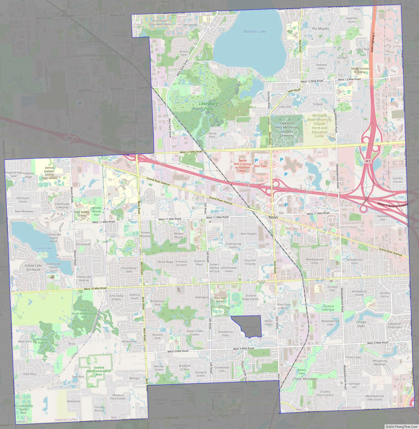
Online Interactive Map
Click on ![]() to view map in "full screen" mode.
to view map in "full screen" mode.
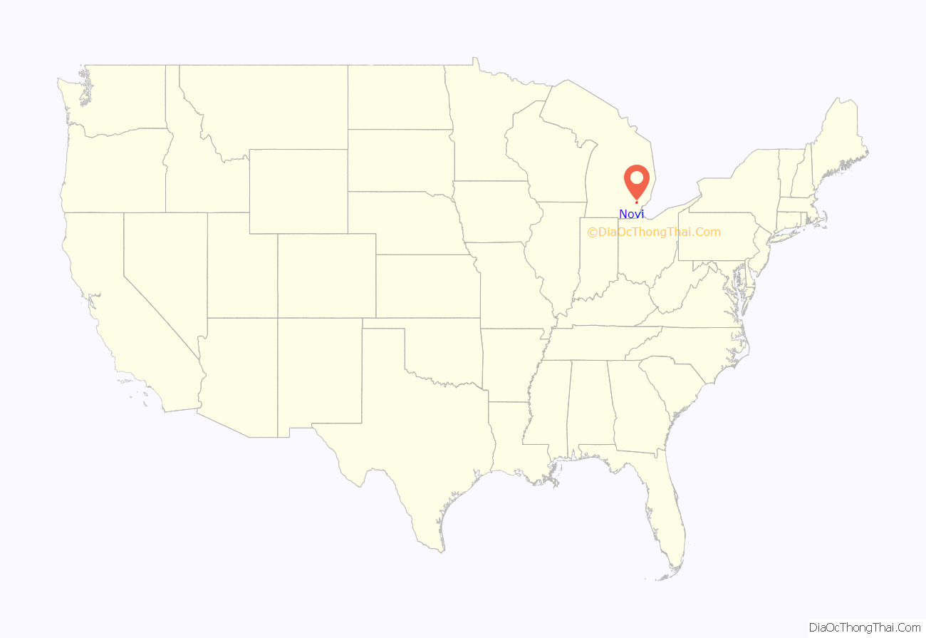
Novi location map. Where is Novi city?
History
Novi was organized as a township in 1832, on land taken from Farmington Township. The name Novi was offered by resident Dr. J. C. Emery, at the suggestion of his wife. Residents were reportedly looking for a shorter name than Farmington.
A local account has said that it was named after the 6th toll gate (No. VI) on the Grand River Road. But the township was named in 1832 and the toll road was not constructed until the 1850s. Another account said that it was the sixth stagecoach stop outside Detroit. Similarly, the township was said to be stop six (or VI) on the railroad, but the Holly, Wayne & Monroe Railway (now CSX Transportation) was not constructed through the township until 1870–71, almost 40 years after the organization and naming of the township.
Novi was incorporated as a city in 1969 after the approval of a city charter on February 18, 1969, by Village of Novi voters. Charter approval followed an election on May 20, 1968, in which voters approved the incorporation of the city: the vote was 694 in favor and 283 votes against. The charter became effective on February 24, 1969. There had been several previous attempts by organizers to incorporate as a city. The city was incorporated along the boundaries of the existing Village of Novi, and grew quickly in the latter half of the 20th century as second- and third-stage waves of white flight from the City of Detroit and older suburbs resulted in more extensive urban sprawl in the region.
Historic sites
- The historic Township Hall was originally located on Novi Road, south of Grand River. It was moved to the Novi Library property in the 1980s. It was recently relocated again onto the property that was the site of the Jacob and Rebecca Fuerst Farmstead.
- Tollgate Farm is a 160-acre (650,000 m) farmstead and educational center.
- The Colonel Samuel White Homestead site is identified by a Michigan Historical Marker.
- A portion of the original Novi Depot, was constructed in 1871 for the Holly, Wayne and Monroe Railroad (now absorbed by CSX Transportation).
- The Jacob and Rebecca Fuerst Farmstead was a historic site listed on the National Register of Historic Places. The City of Novi demolished the Fuerst Farmstead in order to develop the site for other historic uses. The north barn was destroyed on July 16, 2008. The farm house was demolished in August 2008. The south and east barns were dismantled and removed from the site. None of the original buildings of the Farmstead was preserved on the site. But the historic Township Hall was relocated to this site.
Novi Road Map
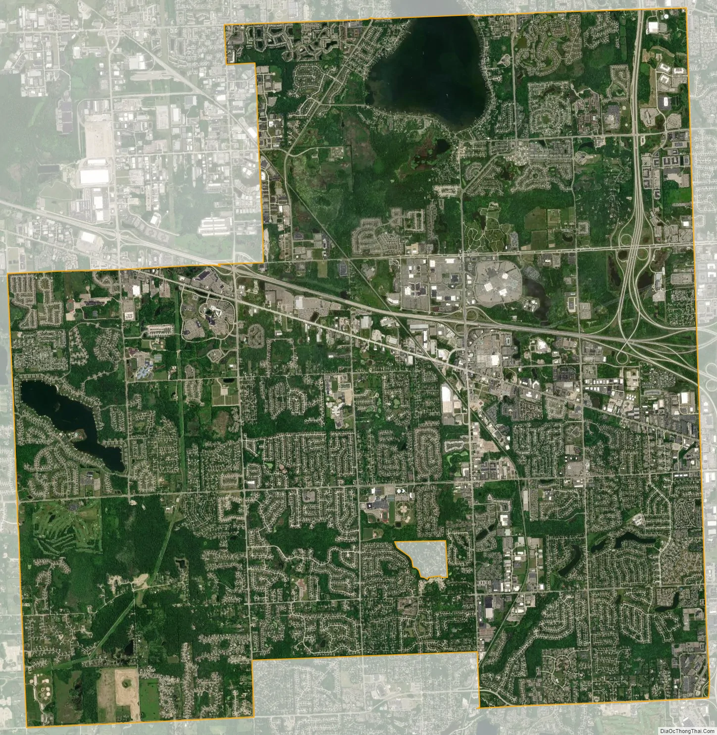
Novi city Satellite Map
Geography
According to the United States Census Bureau, the city has a total area of 31.29 square miles (81.04 km), of which 30.25 square miles (78.35 km) is land and 1.04 square miles (2.69 km) (3.32%) is water.
The city is located on Walled Lake which lies mainly within Novi and is the largest lake in the city. It also serves as the headwaters of the Middle Branch of the Rouge River. Shawood Lake is southwest of Walled Lake. Several smaller lakes within the city were created by gravel pit mining or as stormwater retention areas. Most of the city lies within the Rouge River watershed. Some areas on the north and west side of the city are part of the Huron River watershed.
Three major freeways converge in Novi. The city’s location provides direct access to several major freeways including I-96, I-696, I-275, and M-5.
See also
Map of Michigan State and its subdivision:- Alcona
- Alger
- Allegan
- Alpena
- Antrim
- Arenac
- Baraga
- Barry
- Bay
- Benzie
- Berrien
- Branch
- Calhoun
- Cass
- Charlevoix
- Cheboygan
- Chippewa
- Clare
- Clinton
- Crawford
- Delta
- Dickinson
- Eaton
- Emmet
- Genesee
- Gladwin
- Gogebic
- Grand Traverse
- Gratiot
- Hillsdale
- Houghton
- Huron
- Ingham
- Ionia
- Iosco
- Iron
- Isabella
- Jackson
- Kalamazoo
- Kalkaska
- Kent
- Keweenaw
- Lake
- Lake Hurron
- Lake Michigan
- Lake St. Clair
- Lake Superior
- Lapeer
- Leelanau
- Lenawee
- Livingston
- Luce
- Mackinac
- Macomb
- Manistee
- Marquette
- Mason
- Mecosta
- Menominee
- Midland
- Missaukee
- Monroe
- Montcalm
- Montmorency
- Muskegon
- Newaygo
- Oakland
- Oceana
- Ogemaw
- Ontonagon
- Osceola
- Oscoda
- Otsego
- Ottawa
- Presque Isle
- Roscommon
- Saginaw
- Saint Clair
- Saint Joseph
- Sanilac
- Schoolcraft
- Shiawassee
- Tuscola
- Van Buren
- Washtenaw
- Wayne
- Wexford
- Alabama
- Alaska
- Arizona
- Arkansas
- California
- Colorado
- Connecticut
- Delaware
- District of Columbia
- Florida
- Georgia
- Hawaii
- Idaho
- Illinois
- Indiana
- Iowa
- Kansas
- Kentucky
- Louisiana
- Maine
- Maryland
- Massachusetts
- Michigan
- Minnesota
- Mississippi
- Missouri
- Montana
- Nebraska
- Nevada
- New Hampshire
- New Jersey
- New Mexico
- New York
- North Carolina
- North Dakota
- Ohio
- Oklahoma
- Oregon
- Pennsylvania
- Rhode Island
- South Carolina
- South Dakota
- Tennessee
- Texas
- Utah
- Vermont
- Virginia
- Washington
- West Virginia
- Wisconsin
- Wyoming


