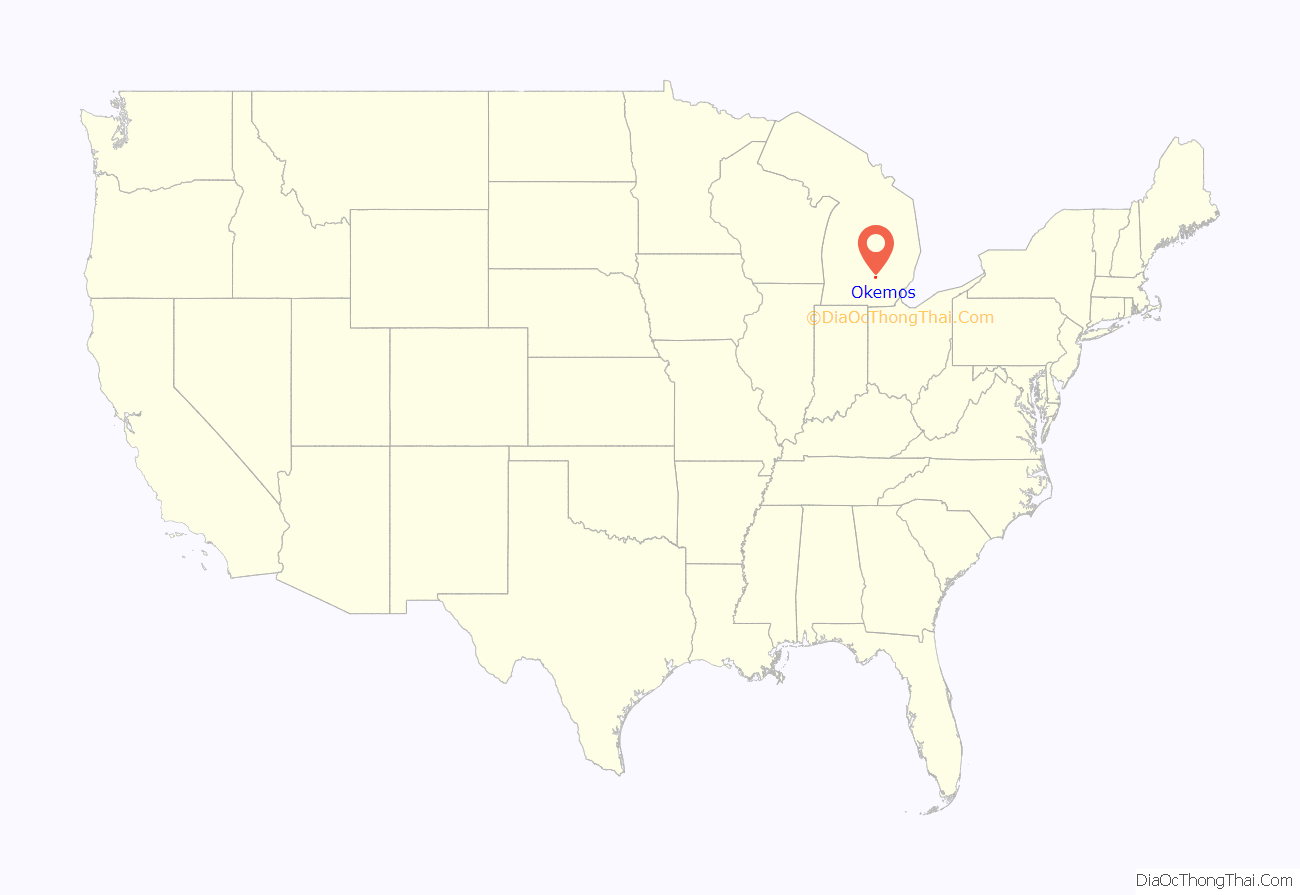
Okemos (/ˈoʊkəməs/ OH-kə-məss) is a census-designated place (CDP) in Ingham County in the U.S. state of Michigan. The population of the CDP was 25,121 at the 2020 census. Okemos is part of the urban area of Lansing–East Lansing, and is located nearby the campus of Michigan State University. Okemos is located mostly within Meridian Charter Township, with a small portion extending south into Alaiedon Township and east into Williamstown Township.
Okemos contains its own post offices with the 48805 and 48864 ZIP Codes, as well as its own school district, Okemos Public Schools, that also serves portions of the surrounding area.
| Name: | Okemos CDP |
|---|---|
| LSAD Code: | 57 |
| LSAD Description: | CDP (suffix) |
| State: | Michigan |
| County: | Ingham County |
| Elevation: | 866 ft (264 m) |
| Total Area: | 17.01 sq mi (44.06 km²) |
| Land Area: | 16.86 sq mi (43.66 km²) |
| Water Area: | 0.15 sq mi (0.40 km²) |
| Total Population: | 25,121 |
| Population Density: | 1,490.15/sq mi (575.37/km²) |
| ZIP code: | 48805, 48864 48895 (Williamston) |
| Area code: | 517 |
| FIPS code: | 2660340 |
| GNISfeature ID: | 2393172 |
Online Interactive Map
Click on ![]() to view map in "full screen" mode.
to view map in "full screen" mode.
Okemos location map. Where is Okemos CDP?
History
Pioneer Freeman Bray platted the village in 1841, giving it the name of Hamilton. Residents called it Okemos, after chief John Okemos (“Little Chief”), of the Ojibway (Chippewa) people. In 1859, the State legislature officially named the village “Okemos” in honor of the chief.
The Red Cedar River, a tributary of the Grand River, flows from east to west through Okemos.
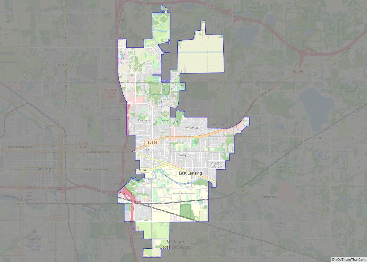
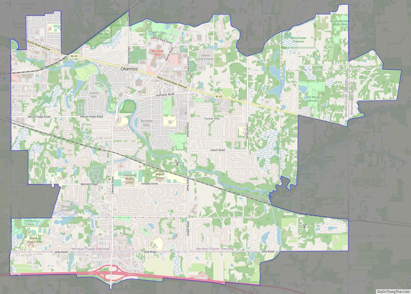
Okemos Road Map
Okemos city Satellite Map
See also
Map of Michigan State and its subdivision:- Alcona
- Alger
- Allegan
- Alpena
- Antrim
- Arenac
- Baraga
- Barry
- Bay
- Benzie
- Berrien
- Branch
- Calhoun
- Cass
- Charlevoix
- Cheboygan
- Chippewa
- Clare
- Clinton
- Crawford
- Delta
- Dickinson
- Eaton
- Emmet
- Genesee
- Gladwin
- Gogebic
- Grand Traverse
- Gratiot
- Hillsdale
- Houghton
- Huron
- Ingham
- Ionia
- Iosco
- Iron
- Isabella
- Jackson
- Kalamazoo
- Kalkaska
- Kent
- Keweenaw
- Lake
- Lake Hurron
- Lake Michigan
- Lake St. Clair
- Lake Superior
- Lapeer
- Leelanau
- Lenawee
- Livingston
- Luce
- Mackinac
- Macomb
- Manistee
- Marquette
- Mason
- Mecosta
- Menominee
- Midland
- Missaukee
- Monroe
- Montcalm
- Montmorency
- Muskegon
- Newaygo
- Oakland
- Oceana
- Ogemaw
- Ontonagon
- Osceola
- Oscoda
- Otsego
- Ottawa
- Presque Isle
- Roscommon
- Saginaw
- Saint Clair
- Saint Joseph
- Sanilac
- Schoolcraft
- Shiawassee
- Tuscola
- Van Buren
- Washtenaw
- Wayne
- Wexford
- Alabama
- Alaska
- Arizona
- Arkansas
- California
- Colorado
- Connecticut
- Delaware
- District of Columbia
- Florida
- Georgia
- Hawaii
- Idaho
- Illinois
- Indiana
- Iowa
- Kansas
- Kentucky
- Louisiana
- Maine
- Maryland
- Massachusetts
- Michigan
- Minnesota
- Mississippi
- Missouri
- Montana
- Nebraska
- Nevada
- New Hampshire
- New Jersey
- New Mexico
- New York
- North Carolina
- North Dakota
- Ohio
- Oklahoma
- Oregon
- Pennsylvania
- Rhode Island
- South Carolina
- South Dakota
- Tennessee
- Texas
- Utah
- Vermont
- Virginia
- Washington
- West Virginia
- Wisconsin
- Wyoming
