Otisville is a village in Forest Township, Genesee County in the U.S. state of Michigan. The population was 864 at the 2010 census. It is located along M-15, just south of M-57.
| Name: | Otisville village |
|---|---|
| LSAD Code: | 47 |
| LSAD Description: | village (suffix) |
| State: | Michigan |
| County: | Genesee County |
| Incorporated: | 1877 |
| Elevation: | 814 ft (248 m) |
| Total Area: | 0.97 sq mi (2.52 km²) |
| Land Area: | 0.88 sq mi (2.28 km²) |
| Water Area: | 0.09 sq mi (0.24 km²) 9.28% |
| Total Population: | 819 |
| Population Density: | 929.63/sq mi (358.97/km²) |
| Area code: | 810 |
| FIPS code: | 2661600 |
| GNISfeature ID: | 0634154 |
| Website: | www.otisvillemi.com |
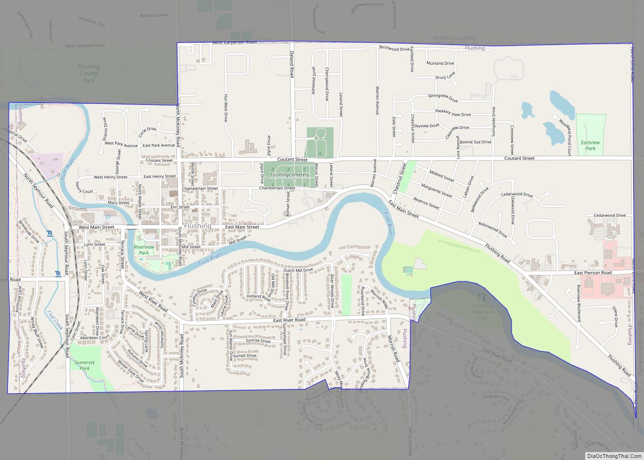
Online Interactive Map
Click on ![]() to view map in "full screen" mode.
to view map in "full screen" mode.
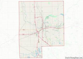
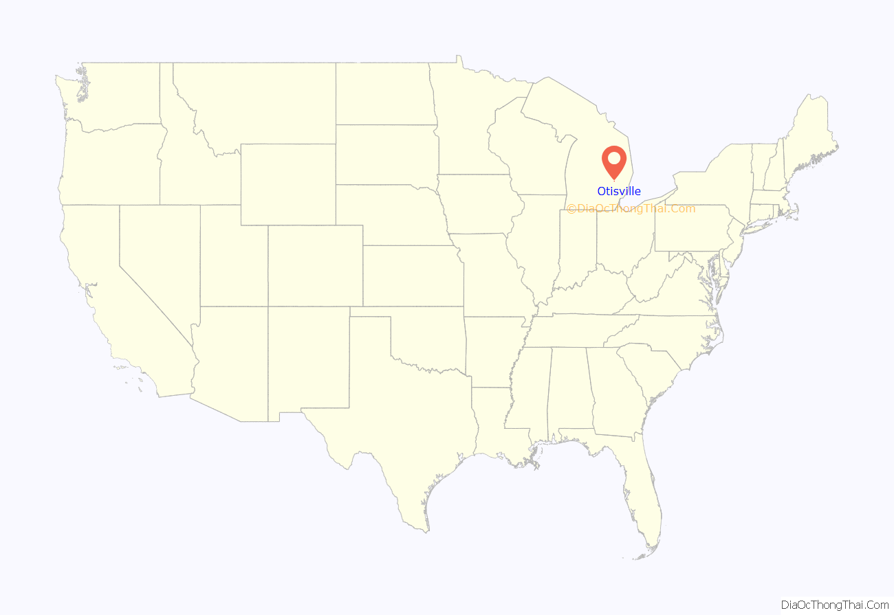
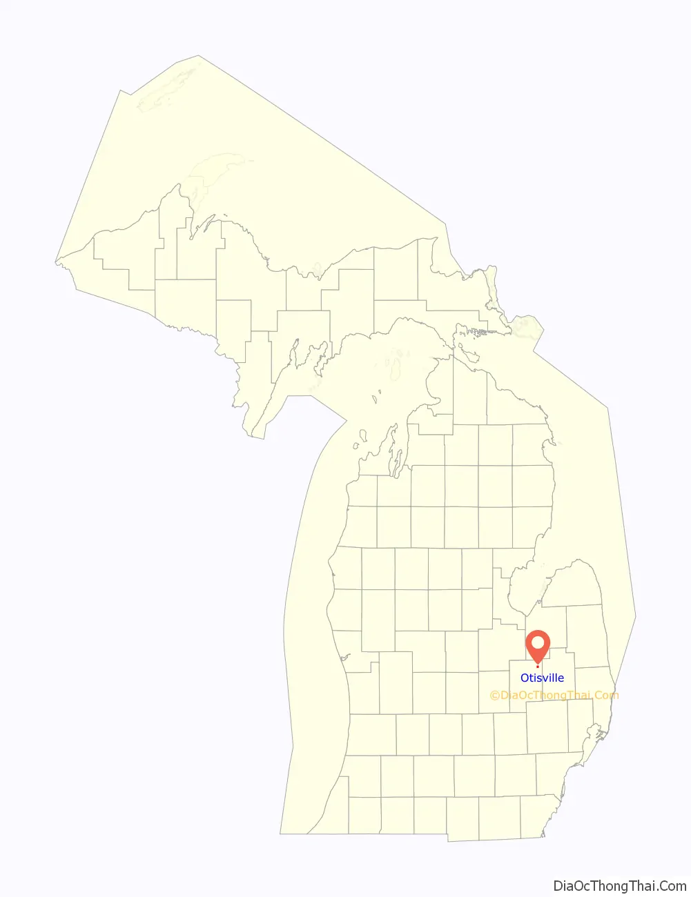
Otisville location map. Where is Otisville village?
History
The first land entry for the Forest (after the heavy growth of trees) community was made in March 1836 by James Seymour. The first settlers, Henry Heister and family, came in 1837. The township was organized in 1837, with the second settler, Nathaniel Smith, elected supervisor. In 1851, a sawmill was built by John Hayes, who sold the mill to Francis Otis the next year. On February 14, 1855, the post office opened with postmaster John Crawford. On April 5, 1861, the post office was renamed to Otisville. The village was platted by William F. Otis and T.D. Crocker in 1863. In 1874, a station opened by the Pere Marquette Railway in the village.
The Village of Otisville was incorporated in 1877.
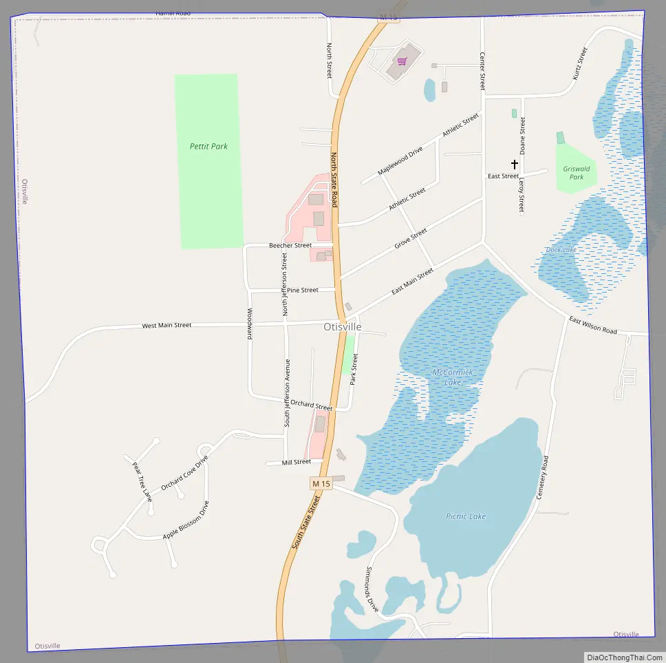
Otisville Road Map
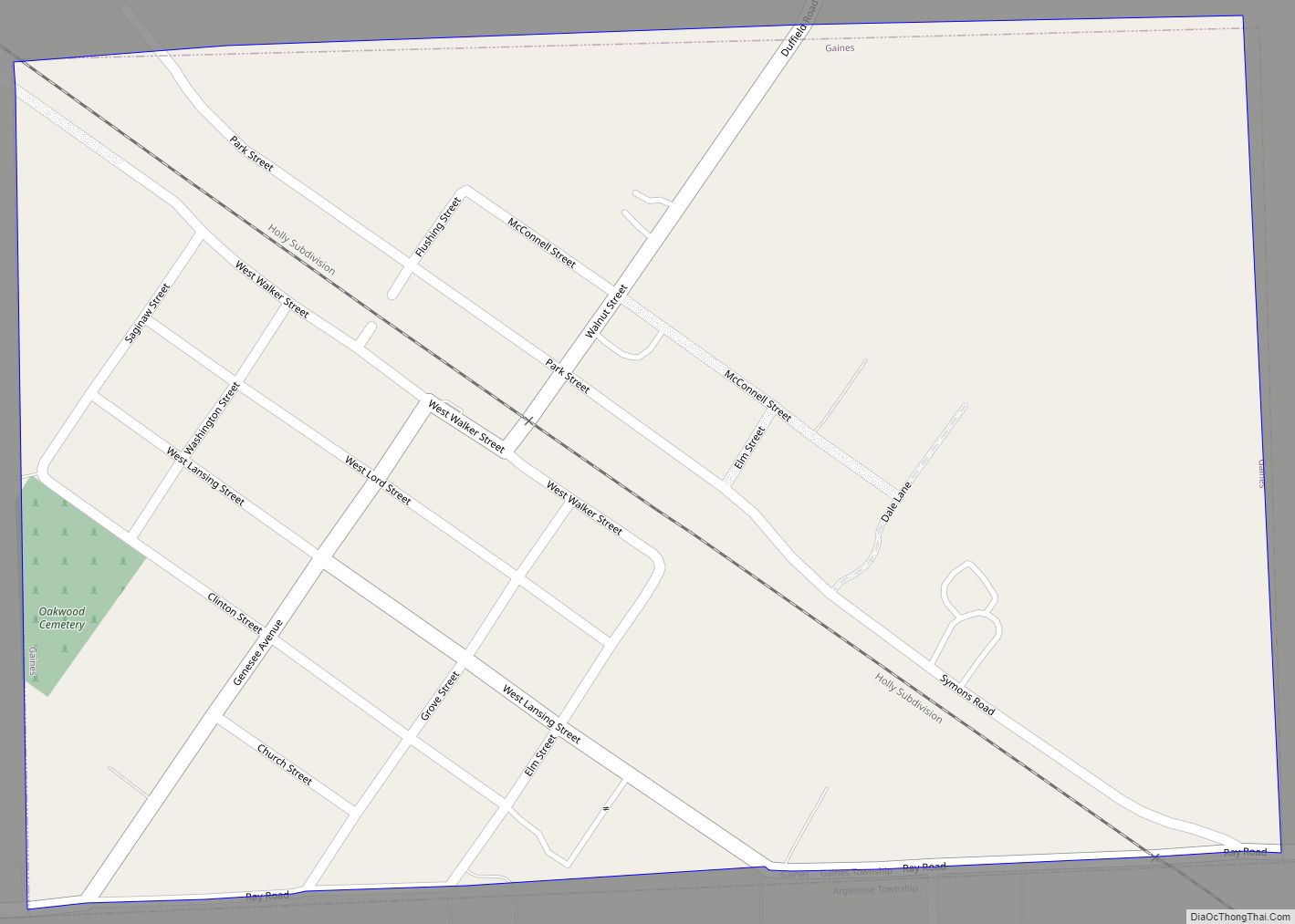
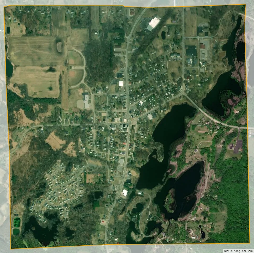
Otisville city Satellite Map
Geography
According to the United States Census Bureau, the village has a total area of 0.97 square miles (2.51 km), of which 0.88 square miles (2.28 km) is land and 0.09 square miles (0.23 km) is water.
See also
Map of Michigan State and its subdivision:- Alcona
- Alger
- Allegan
- Alpena
- Antrim
- Arenac
- Baraga
- Barry
- Bay
- Benzie
- Berrien
- Branch
- Calhoun
- Cass
- Charlevoix
- Cheboygan
- Chippewa
- Clare
- Clinton
- Crawford
- Delta
- Dickinson
- Eaton
- Emmet
- Genesee
- Gladwin
- Gogebic
- Grand Traverse
- Gratiot
- Hillsdale
- Houghton
- Huron
- Ingham
- Ionia
- Iosco
- Iron
- Isabella
- Jackson
- Kalamazoo
- Kalkaska
- Kent
- Keweenaw
- Lake
- Lake Hurron
- Lake Michigan
- Lake St. Clair
- Lake Superior
- Lapeer
- Leelanau
- Lenawee
- Livingston
- Luce
- Mackinac
- Macomb
- Manistee
- Marquette
- Mason
- Mecosta
- Menominee
- Midland
- Missaukee
- Monroe
- Montcalm
- Montmorency
- Muskegon
- Newaygo
- Oakland
- Oceana
- Ogemaw
- Ontonagon
- Osceola
- Oscoda
- Otsego
- Ottawa
- Presque Isle
- Roscommon
- Saginaw
- Saint Clair
- Saint Joseph
- Sanilac
- Schoolcraft
- Shiawassee
- Tuscola
- Van Buren
- Washtenaw
- Wayne
- Wexford
- Alabama
- Alaska
- Arizona
- Arkansas
- California
- Colorado
- Connecticut
- Delaware
- District of Columbia
- Florida
- Georgia
- Hawaii
- Idaho
- Illinois
- Indiana
- Iowa
- Kansas
- Kentucky
- Louisiana
- Maine
- Maryland
- Massachusetts
- Michigan
- Minnesota
- Mississippi
- Missouri
- Montana
- Nebraska
- Nevada
- New Hampshire
- New Jersey
- New Mexico
- New York
- North Carolina
- North Dakota
- Ohio
- Oklahoma
- Oregon
- Pennsylvania
- Rhode Island
- South Carolina
- South Dakota
- Tennessee
- Texas
- Utah
- Vermont
- Virginia
- Washington
- West Virginia
- Wisconsin
- Wyoming