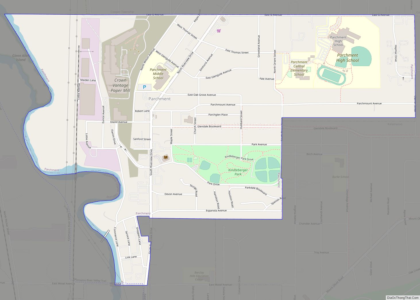
Parchment is a city in Kalamazoo County in the U.S. state of Michigan. The 2010 census recorded a population of 1,804. The name is derived from the parchment company that used to manufacture paper on the East bank of the Kalamazoo River.
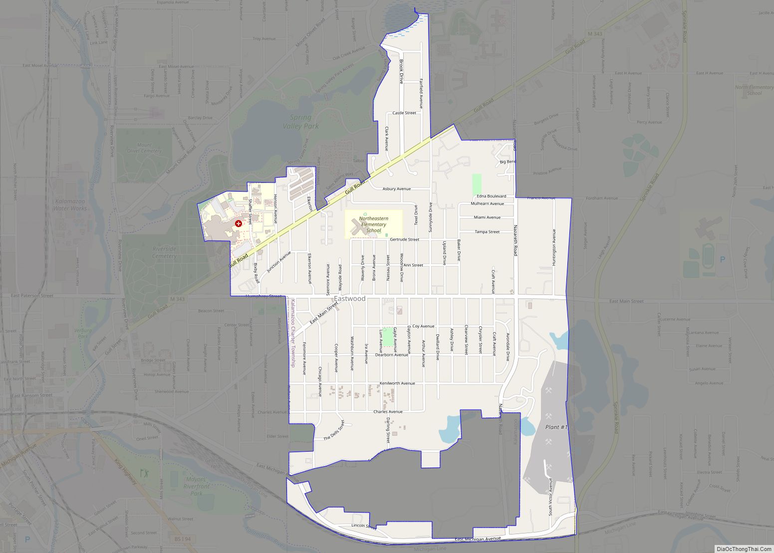
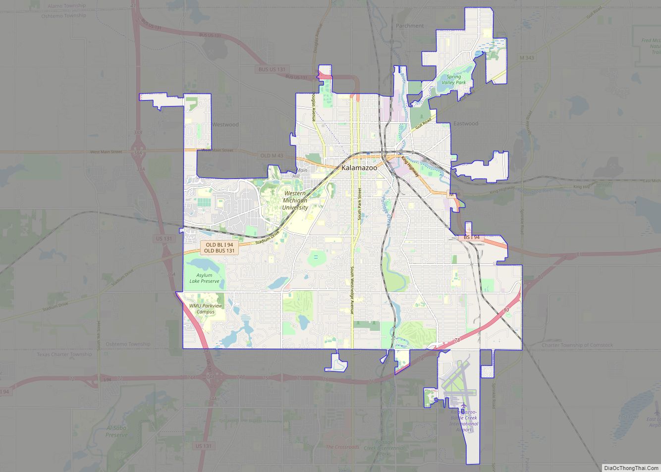
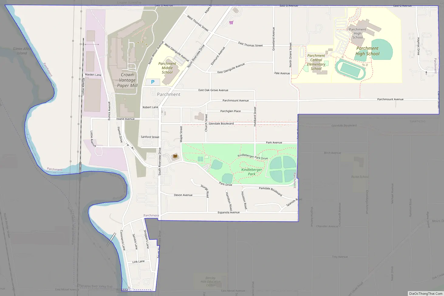
Parchment is located just northeast of the city of Kalamazoo, and it is mostly surrounded by Kalamazoo Township.
| Name: | Parchment city |
|---|---|
| LSAD Code: | 25 |
| LSAD Description: | city (suffix) |
| State: | Michigan |
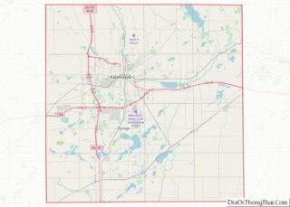
| County: | Kalamazoo County |
| Elevation: | 774 ft (236 m) |
| Total Area: | 0.94 sq mi (2.43 km²) |
| Land Area: | 0.92 sq mi (2.38 km²) |
| Water Area: | 0.02 sq mi (0.05 km²) |
| Total Population: | 1,926 |
| Population Density: | 2,098.04/sq mi (810.35/km²) |
| ZIP code: | 49004 |
| Area code: | 269 |
| FIPS code: | 2662340 |
| GNISfeature ID: | 0634353 |
| Website: | www.parchment.org |
Online Interactive Map
Click on ![]() to view map in "full screen" mode.
to view map in "full screen" mode.
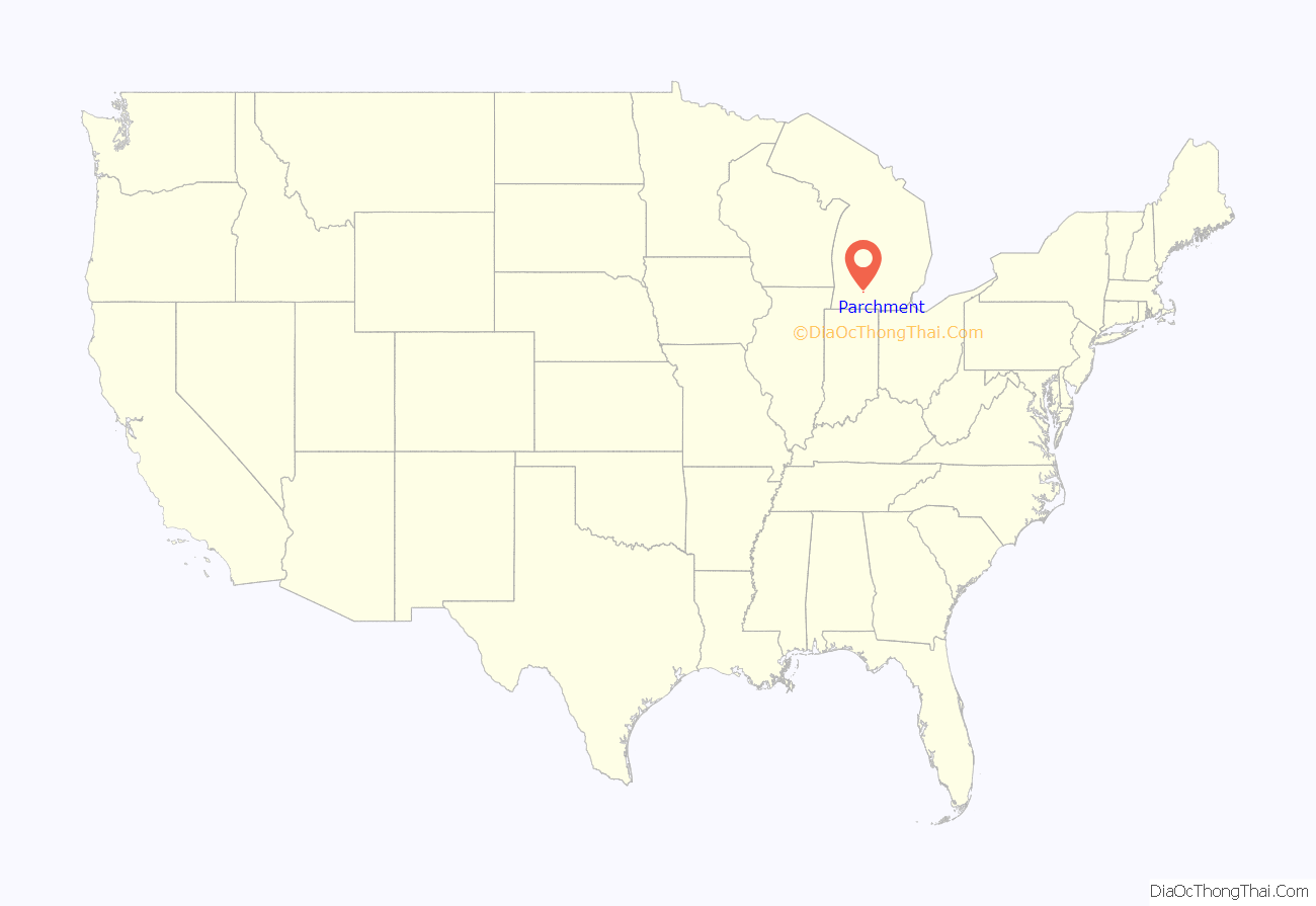
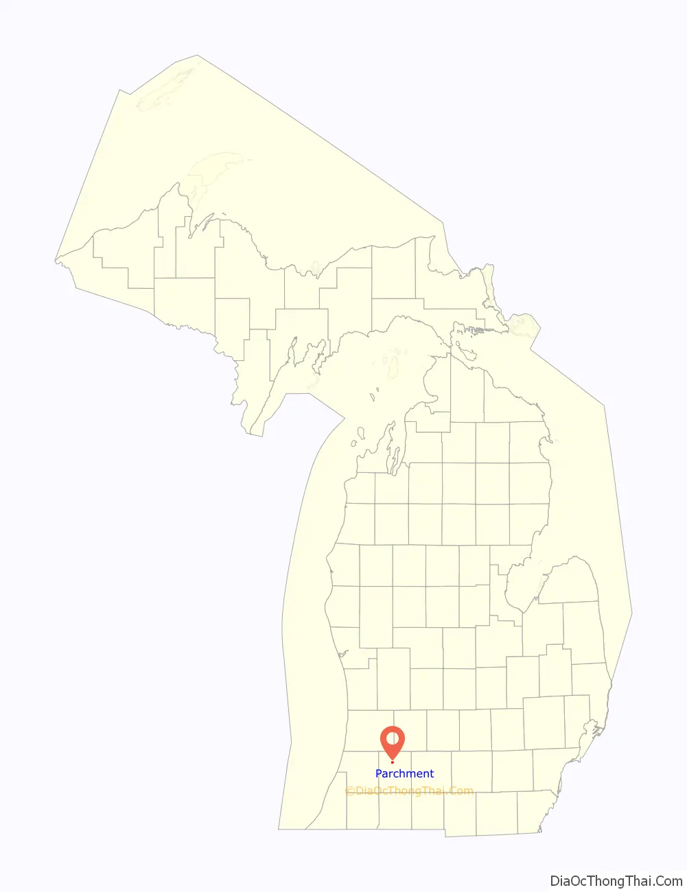
Parchment location map. Where is Parchment city?
History
The Kalamazoo Vegetable Parchment Company was founded in 1909. The founder, Jacob “Uncle Jake” Kindleberger, set up shop along the Kalamazoo River. The company then started selling pieces of land located around the mill to the mill workers. In 1932, Kindleberger left a tract of 40 acres (160,000 m) located in the center of the city; this later became Kindleberger Park in his honor. In 1939, Parchment became a city by a majority vote. It has been known as The Paper City since then. Over the years, the KVP Company was bought by or merged with other companies, including Sutherland Paper Company, Brown Company, James River, and finally Crown-Vantage. In 2000 paper making in Parchment ended, and thereafter the city has struggled to sustain itself. Its population has debated what to do with the old paper mill property. As of 2011, the first mill building was demolished with plans to demolish the other building at a later date.
Contamination
The mill site came under scrutiny again in July 2018, when the city discovered fluorosurfactant (PFAS) contamination in the drinking water. Samples from Parchment’s water system showed the drinking water was contaminated with PFAS at a level of 1,587-ppt—over 20 times the EPA limit. Residents were advised to stop using the water for drinking/cooking immediately, while the city worked to discover the source of the contamination. Michigan Governor Rick Snyder declared a State of Emergency on July 29. Bottled water was distributed to residents by volunteers, and the City of Kalamazoo connected its water system to Parchment. Because of the unknown source of the PFAS, and the associated costs for new wells and testing, Mayor Robert Britigan III predicted that Parchment will have to permanently use Kalamazoo’s drinking water.
The source of the PFAS contamination has not been discovered, but officials believe a former 80 acres (320,000 m) landfill along the Kalamazoo River may be the source. The landfill site is also the former home of the paper mill in the city, and the landfill was capped in 2000 after then-owner Crown-Vantage went bankrupt. PFAS have been known to be used in paper-making and associated paper-manufacturing processes.
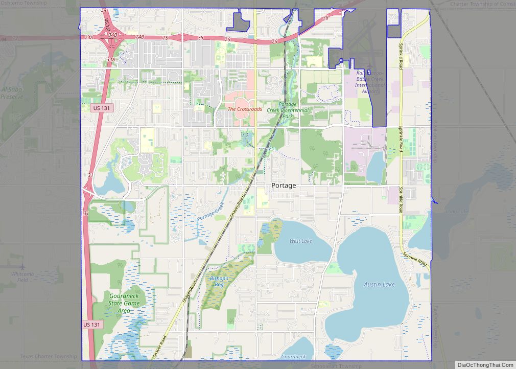
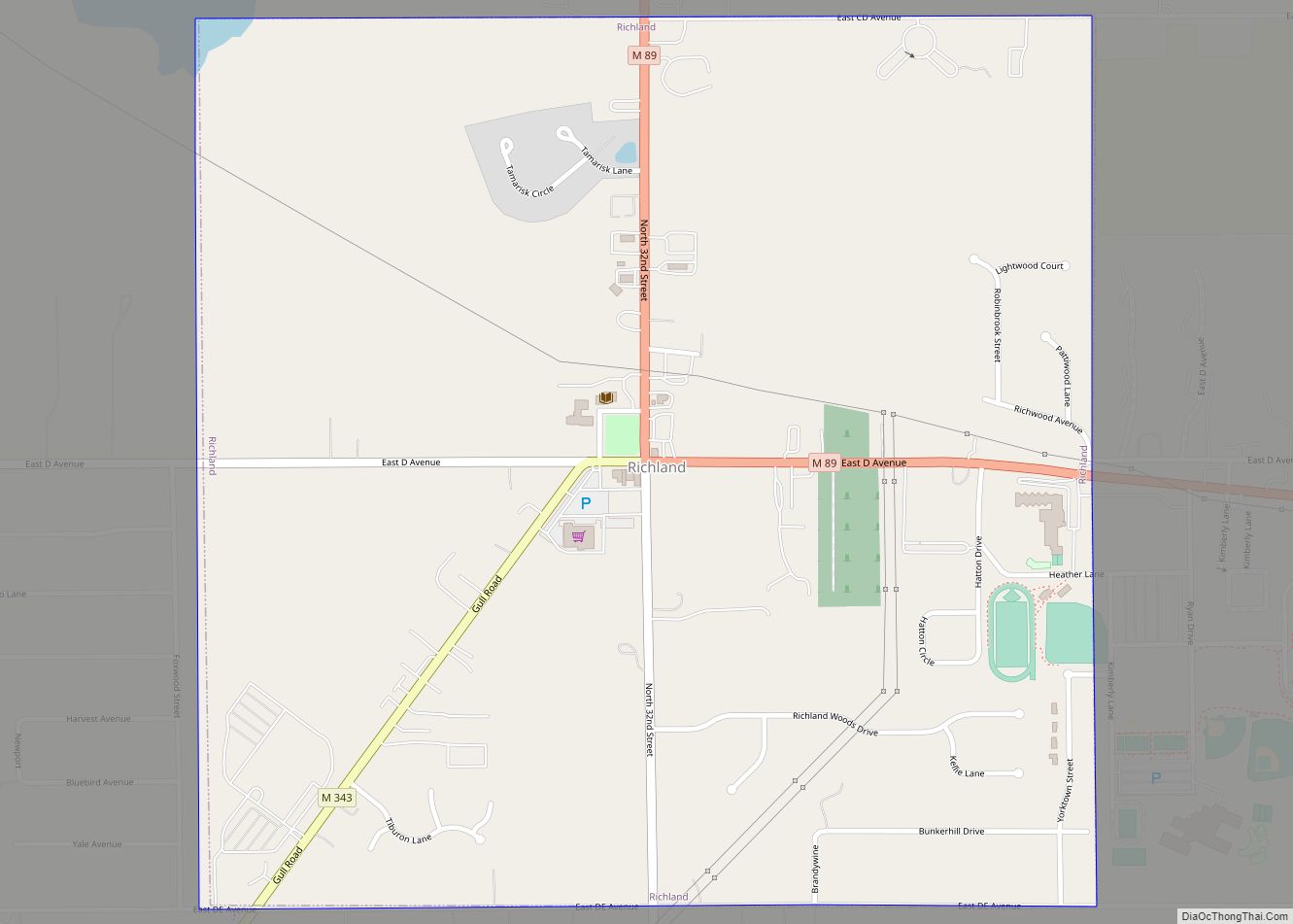
Parchment Road Map
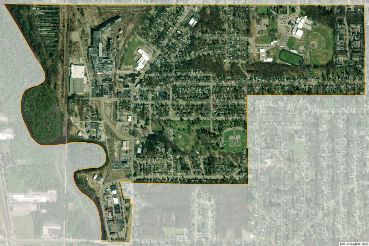
Parchment city Satellite Map
Geography
According to the United States Census Bureau, the city has a total area of 0.93 sq mi (2.41 km), of which 0.92 sq mi (2.38 km) is land and 0.01 sq mi (0.03 km) is water.
Parchment is east of the Kalamazoo River.
See also
Map of Michigan State and its subdivision:- Alcona
- Alger
- Allegan
- Alpena
- Antrim
- Arenac
- Baraga
- Barry
- Bay
- Benzie
- Berrien
- Branch
- Calhoun
- Cass
- Charlevoix
- Cheboygan
- Chippewa
- Clare
- Clinton
- Crawford
- Delta
- Dickinson
- Eaton
- Emmet
- Genesee
- Gladwin
- Gogebic
- Grand Traverse
- Gratiot
- Hillsdale
- Houghton
- Huron
- Ingham
- Ionia
- Iosco
- Iron
- Isabella
- Jackson
- Kalamazoo
- Kalkaska
- Kent
- Keweenaw
- Lake
- Lake Hurron
- Lake Michigan
- Lake St. Clair
- Lake Superior
- Lapeer
- Leelanau
- Lenawee
- Livingston
- Luce
- Mackinac
- Macomb
- Manistee
- Marquette
- Mason
- Mecosta
- Menominee
- Midland
- Missaukee
- Monroe
- Montcalm
- Montmorency
- Muskegon
- Newaygo
- Oakland
- Oceana
- Ogemaw
- Ontonagon
- Osceola
- Oscoda
- Otsego
- Ottawa
- Presque Isle
- Roscommon
- Saginaw
- Saint Clair
- Saint Joseph
- Sanilac
- Schoolcraft
- Shiawassee
- Tuscola
- Van Buren
- Washtenaw
- Wayne
- Wexford
- Alabama
- Alaska
- Arizona
- Arkansas
- California
- Colorado
- Connecticut
- Delaware
- District of Columbia
- Florida
- Georgia
- Hawaii
- Idaho
- Illinois
- Indiana
- Iowa
- Kansas
- Kentucky
- Louisiana
- Maine
- Maryland
- Massachusetts
- Michigan
- Minnesota
- Mississippi
- Missouri
- Montana
- Nebraska
- Nevada
- New Hampshire
- New Jersey
- New Mexico
- New York
- North Carolina
- North Dakota
- Ohio
- Oklahoma
- Oregon
- Pennsylvania
- Rhode Island
- South Carolina
- South Dakota
- Tennessee
- Texas
- Utah
- Vermont
- Virginia
- Washington
- West Virginia
- Wisconsin
- Wyoming