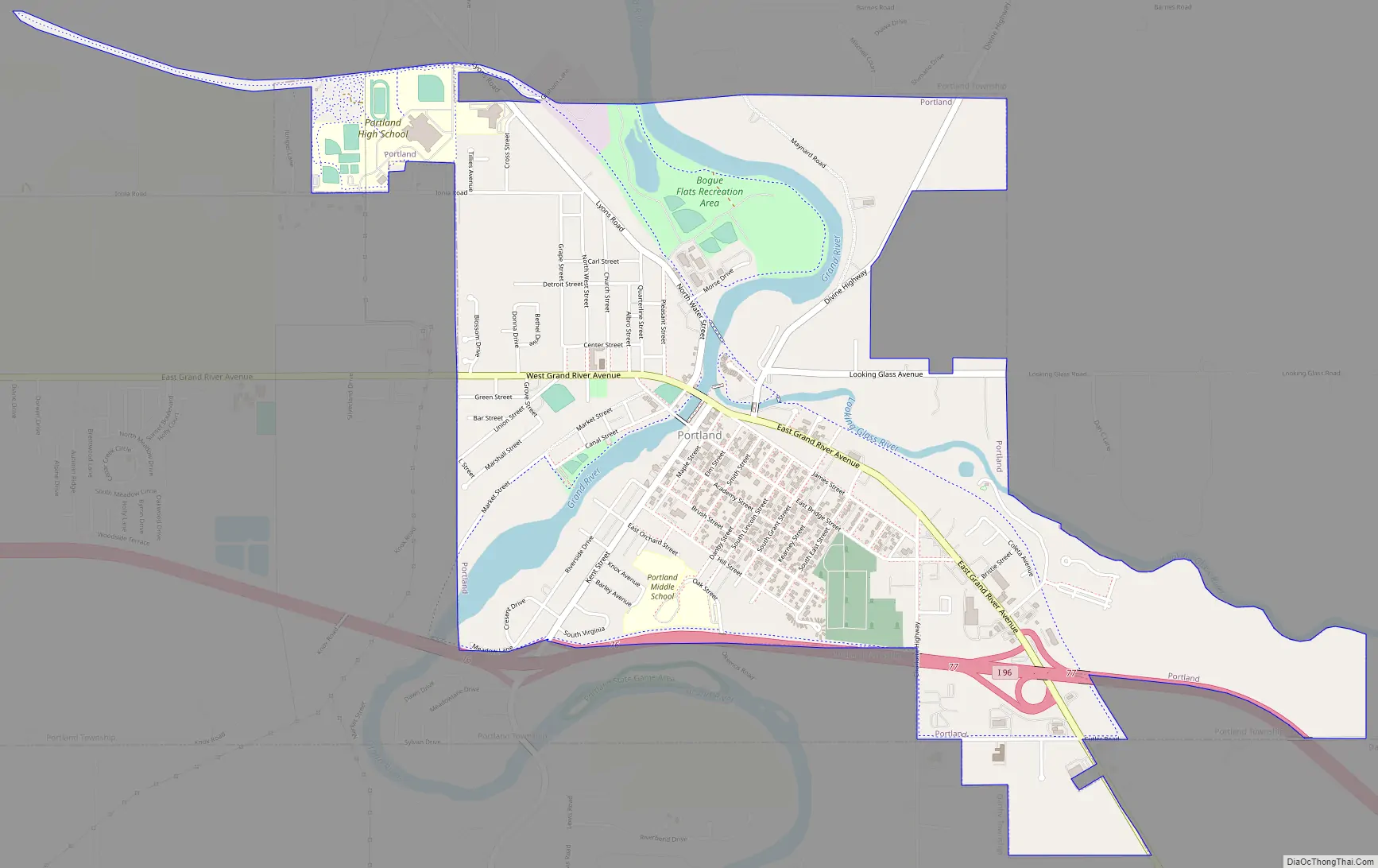
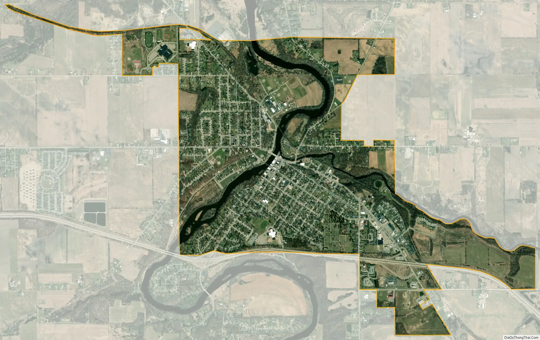
Portland is a city in Ionia County of the U.S. state of Michigan. The population was 3,883 at the 2010 census. The city is situated in the south central portion of Portland Township and is known as the “City of Two Rivers” since it is the confluence of the Grand River and the Looking Glass River. Portland is home to Portland Public Schools and Portland Saint Patrick Catholic School and has been a Main Street Community since 2003.
| Name: | Portland city |
|---|---|
| LSAD Code: | 25 |
| LSAD Description: | city (suffix) |
| State: | Michigan |
| County: | Ionia County |
| Elevation: | 715 ft (218 m) |
| Total Area: | 2.77 sq mi (7.18 km²) |
| Land Area: | 2.63 sq mi (6.81 km²) |
| Water Area: | 0.14 sq mi (0.37 km²) |
| Total Population: | 3,796 |
| Population Density: | 1,443.90/sq mi (557.41/km²) |
| ZIP code: | 48875 |
| Area code: | 517 |
| FIPS code: | 2665860 |
| GNISfeature ID: | 1626934 |
| Website: | www.portland-michigan.org |
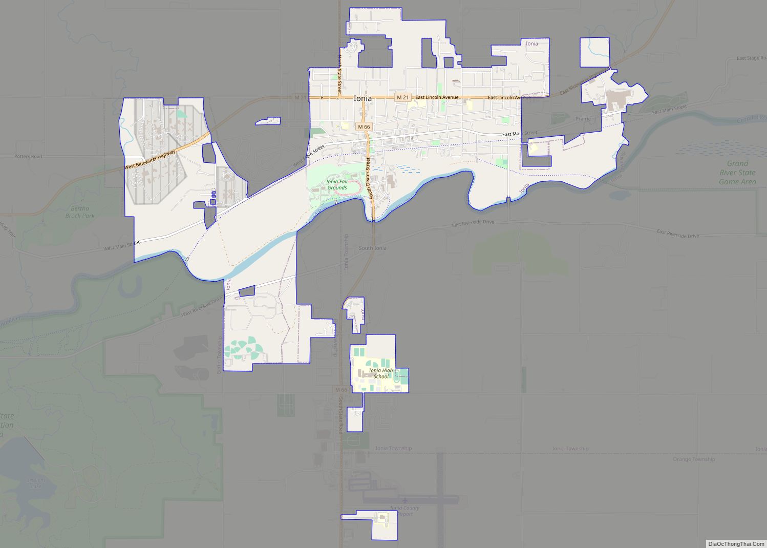
Online Interactive Map
Click on ![]() to view map in "full screen" mode.
to view map in "full screen" mode.
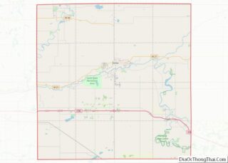
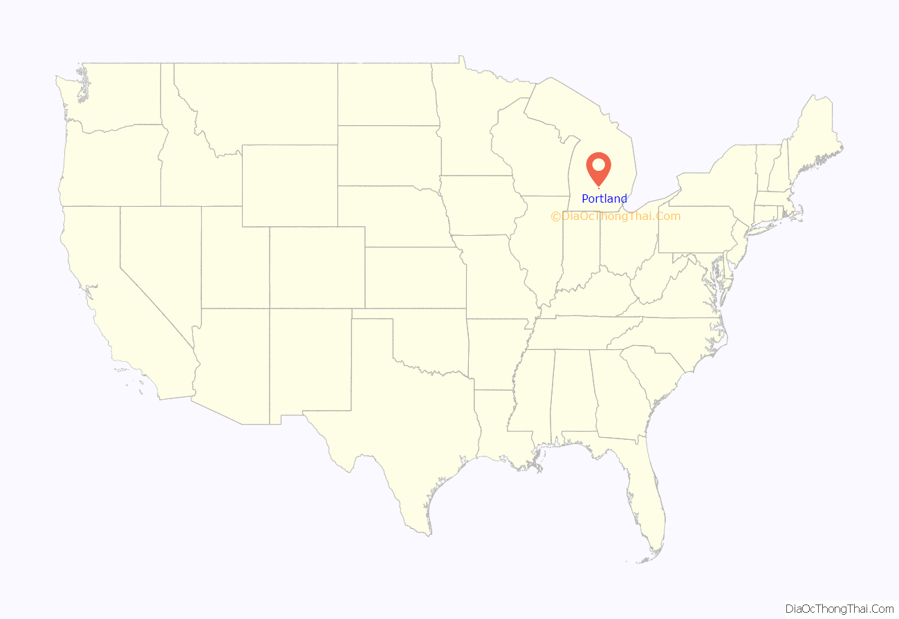
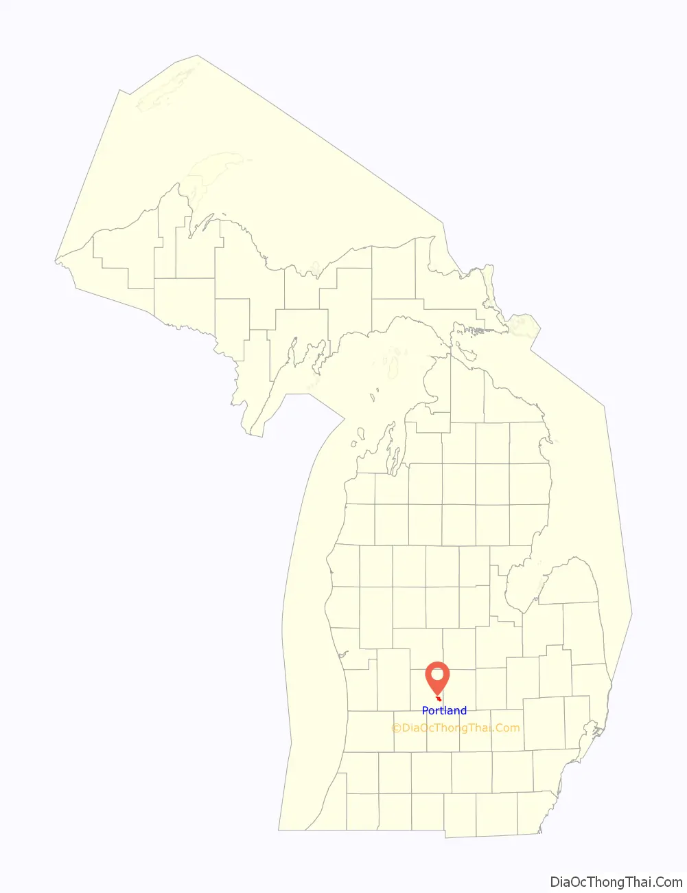
Portland location map. Where is Portland city?
History
According to government records, the first land that was owned in what is now known as Portland was owned by Elisha Newman in 1833. Ionia County histories say that Philo Bogue built a trading post on the Grand River later that year, the Bogue Flats Recreation Area now being named for him. The first post office arrived in 1837. Portland has been home to several Native American tribes, and was the dwelling-place of John Okemos in the 1850s.
The first train arrived in Portland in 1869, the last train left in 1984 when the tracks were removed. The railroad bridge built in 1881 remains, having replaced an earlier wooden bridge built in 1869. The city used to get 6 passenger trains per day in 1881, three in each direction. Portland’s growth in population led to becoming a Village in 1869 and a City in 1969. The opera house opened in 1880, and the Carnegie library in 1905.
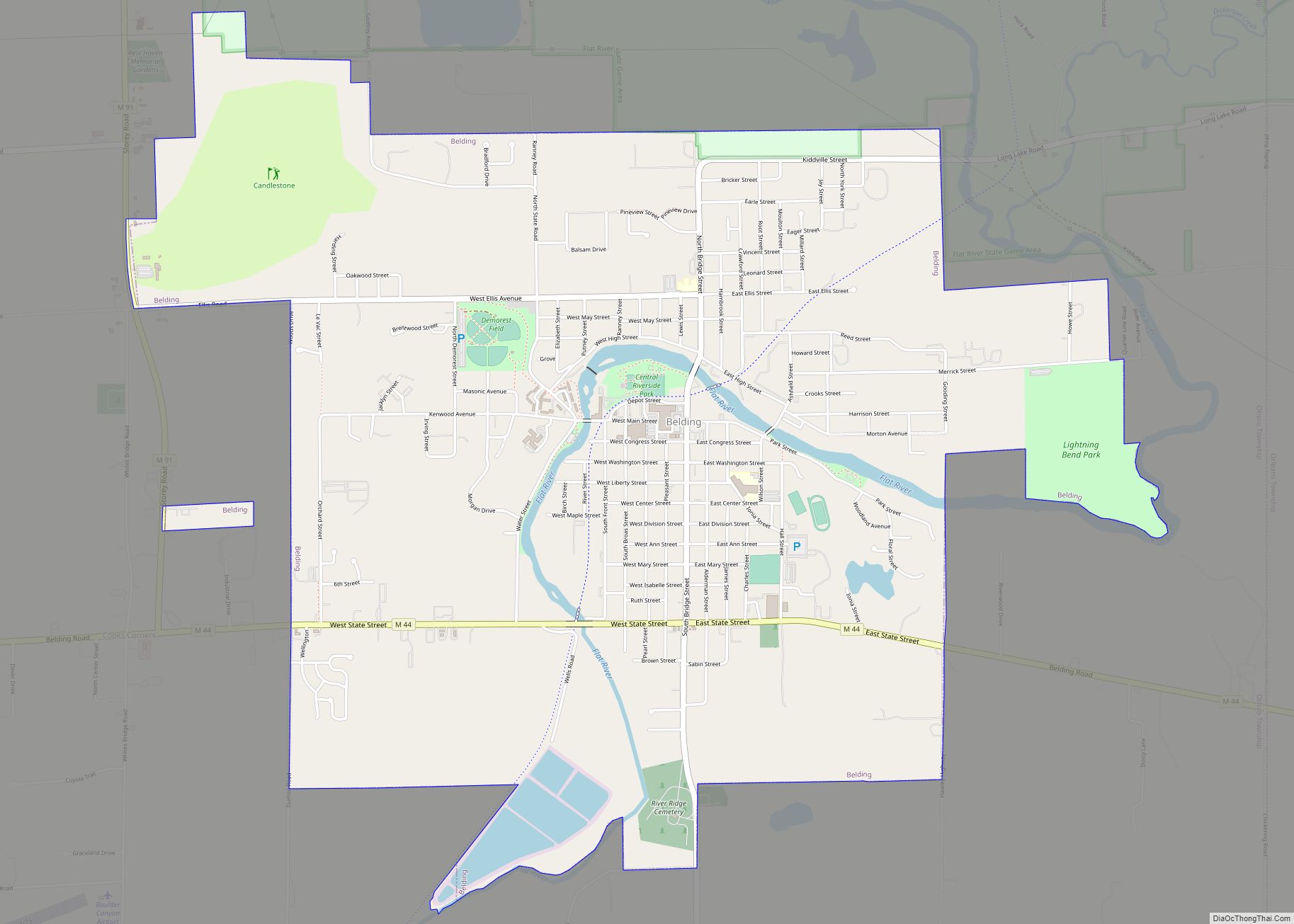
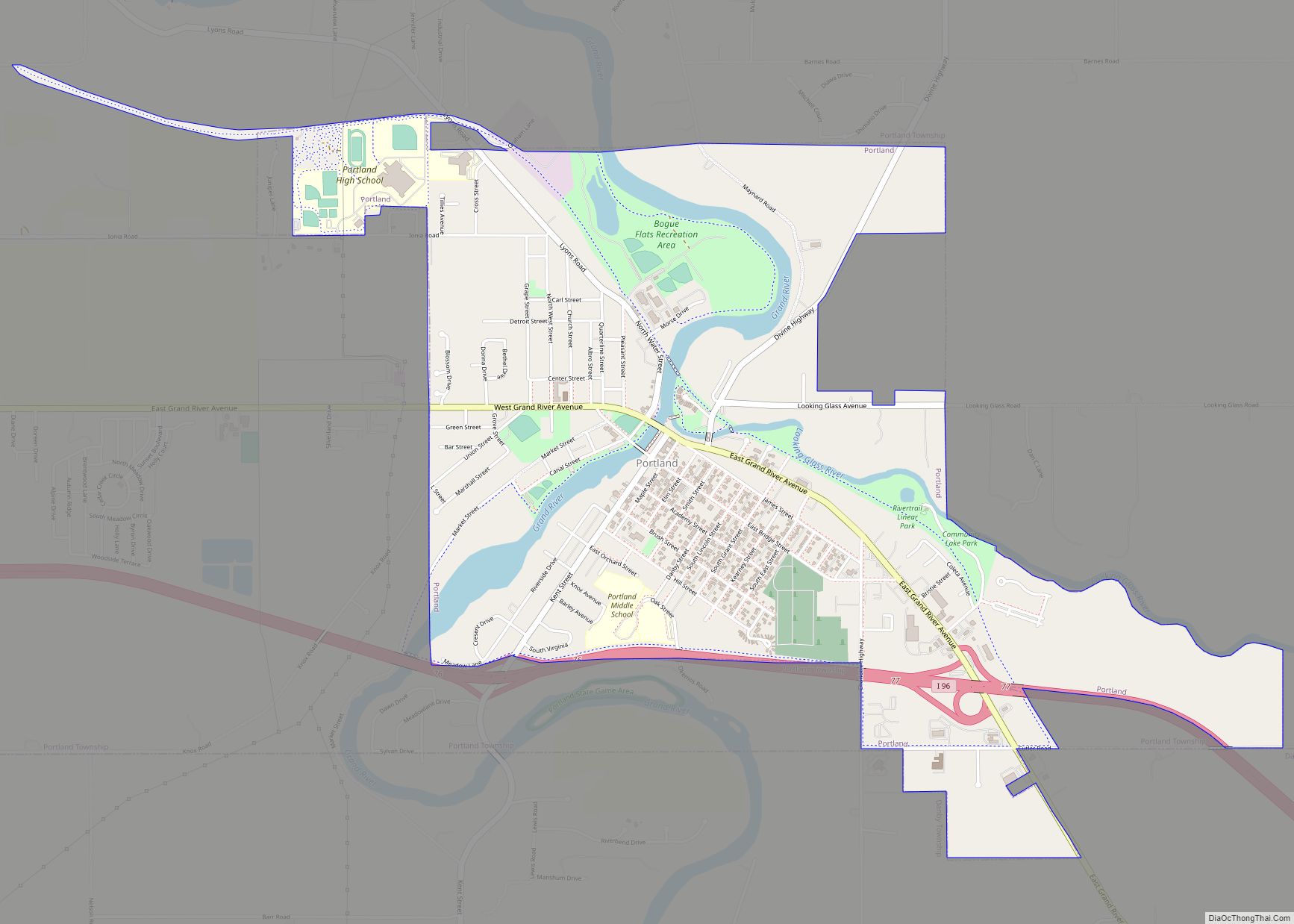
Portland Road Map
Portland city Satellite Map
Geography
According to the United States Census Bureau, the city has a total area of 2.78 square miles (7.20 km), of which 2.64 square miles (6.84 km) is land and 0.14 square miles (0.36 km) is water.
See also
Map of Michigan State and its subdivision:- Alcona
- Alger
- Allegan
- Alpena
- Antrim
- Arenac
- Baraga
- Barry
- Bay
- Benzie
- Berrien
- Branch
- Calhoun
- Cass
- Charlevoix
- Cheboygan
- Chippewa
- Clare
- Clinton
- Crawford
- Delta
- Dickinson
- Eaton
- Emmet
- Genesee
- Gladwin
- Gogebic
- Grand Traverse
- Gratiot
- Hillsdale
- Houghton
- Huron
- Ingham
- Ionia
- Iosco
- Iron
- Isabella
- Jackson
- Kalamazoo
- Kalkaska
- Kent
- Keweenaw
- Lake
- Lake Hurron
- Lake Michigan
- Lake St. Clair
- Lake Superior
- Lapeer
- Leelanau
- Lenawee
- Livingston
- Luce
- Mackinac
- Macomb
- Manistee
- Marquette
- Mason
- Mecosta
- Menominee
- Midland
- Missaukee
- Monroe
- Montcalm
- Montmorency
- Muskegon
- Newaygo
- Oakland
- Oceana
- Ogemaw
- Ontonagon
- Osceola
- Oscoda
- Otsego
- Ottawa
- Presque Isle
- Roscommon
- Saginaw
- Saint Clair
- Saint Joseph
- Sanilac
- Schoolcraft
- Shiawassee
- Tuscola
- Van Buren
- Washtenaw
- Wayne
- Wexford
- Alabama
- Alaska
- Arizona
- Arkansas
- California
- Colorado
- Connecticut
- Delaware
- District of Columbia
- Florida
- Georgia
- Hawaii
- Idaho
- Illinois
- Indiana
- Iowa
- Kansas
- Kentucky
- Louisiana
- Maine
- Maryland
- Massachusetts
- Michigan
- Minnesota
- Mississippi
- Missouri
- Montana
- Nebraska
- Nevada
- New Hampshire
- New Jersey
- New Mexico
- New York
- North Carolina
- North Dakota
- Ohio
- Oklahoma
- Oregon
- Pennsylvania
- Rhode Island
- South Carolina
- South Dakota
- Tennessee
- Texas
- Utah
- Vermont
- Virginia
- Washington
- West Virginia
- Wisconsin
- Wyoming