Richland is a village in Kalamazoo County in the U.S. state of Michigan. The population was 751 at the 2010 census, up from 593 at the 2000 census.
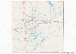
The village is within Richland Township, about 9 miles (14 km) northeast of Kalamazoo.
| Name: | Richland village |
|---|---|
| LSAD Code: | 47 |
| LSAD Description: | village (suffix) |
| State: | Michigan |
| County: | Kalamazoo County |
| Elevation: | 928 ft (283 m) |
| Total Area: | 1.02 sq mi (2.63 km²) |
| Land Area: | 1.01 sq mi (2.63 km²) |
| Water Area: | 0.00 sq mi (0.00 km²) |
| Total Population: | 946 |
| Population Density: | 932.02/sq mi (359.98/km²) |
| ZIP code: | 49083 |
| Area code: | 269 |
| FIPS code: | 2668240 |
| GNISfeature ID: | 0635881 |
| Website: | villageofrichland.org |
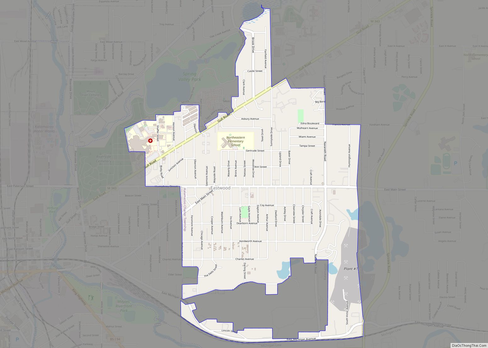
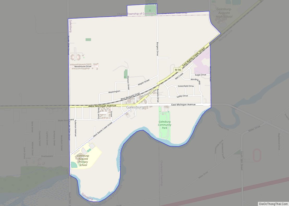
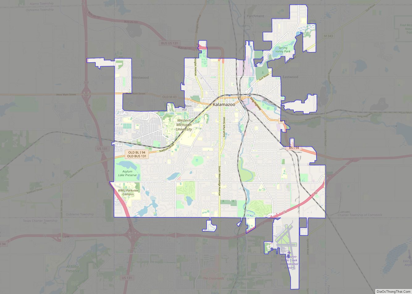
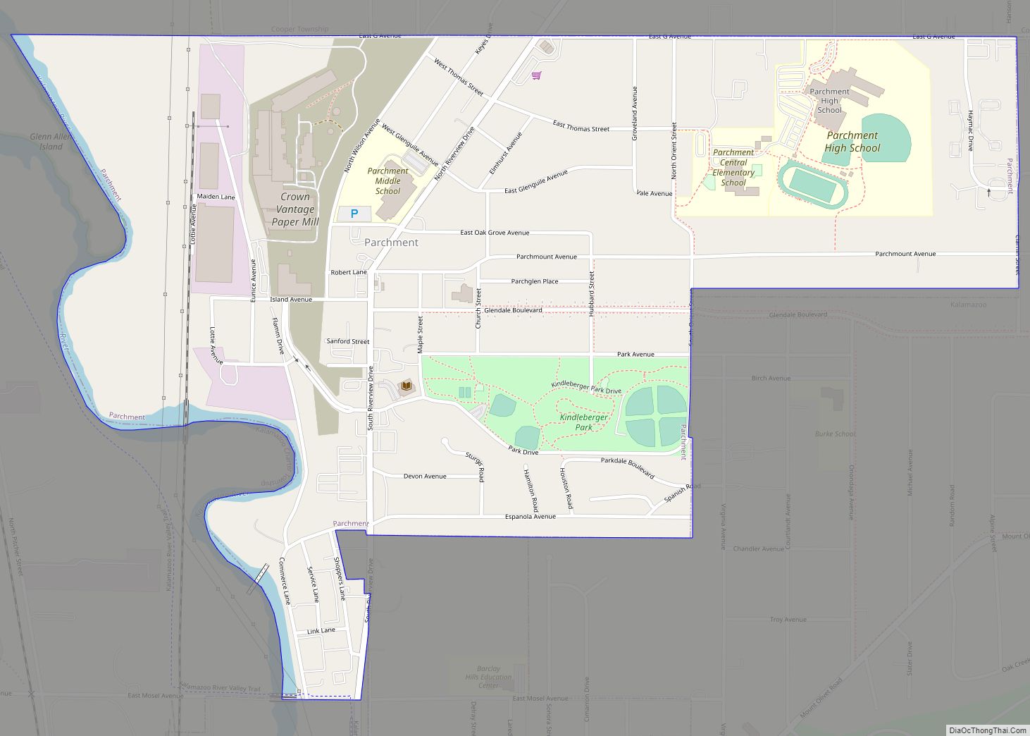
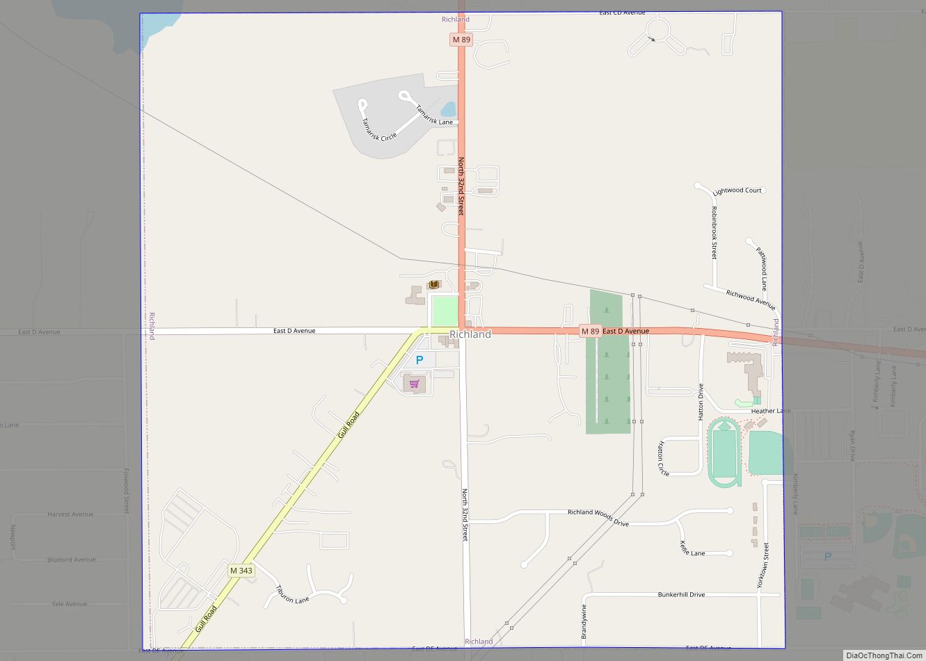
Online Interactive Map
Click on ![]() to view map in "full screen" mode.
to view map in "full screen" mode.
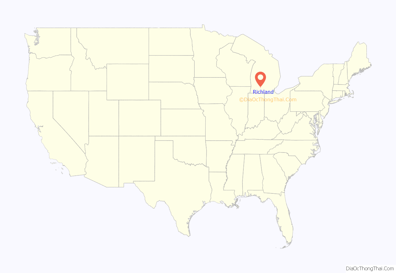
Richland location map. Where is Richland village?
History
Richland is located in the middle of what was once the Gull Prairie, an upland area relatively free of trees and maintained by natural and man-made fires. The area had a few Pottawatamie villages, one was located on the west side of nearby Gull Lake. Fish and game were plentiful, and the land was very fertile. Since there were few trees to clear, the prairie was among the first areas of Kalamazoo County to be settled. By the 1830s, the Native Americans had been forced west, and Richland was a thriving frontier village. The village even contended with Prairie Ronde for the county seat, but the centrally-located village of Bronson (now Kalamazoo) was ultimately chosen.
Lacking a flowing stream that would have provided water power, Richland never developed significant industry and remained a sleepy farm community until the late twentieth century. In the 1980s and 1990s, small employers such as Richard Allen Medical moved to the edge of town, and Richland became a bedroom community for Kalamazoo. The high quality of the local Gull Lake School District also drew people from surrounding areas. New subdivisions were built in what had been hilly farm country.
Brothers Charles S. May and Dwight May, both lieutenant governors of Michigan during the 19th Century, were raised in Richland.
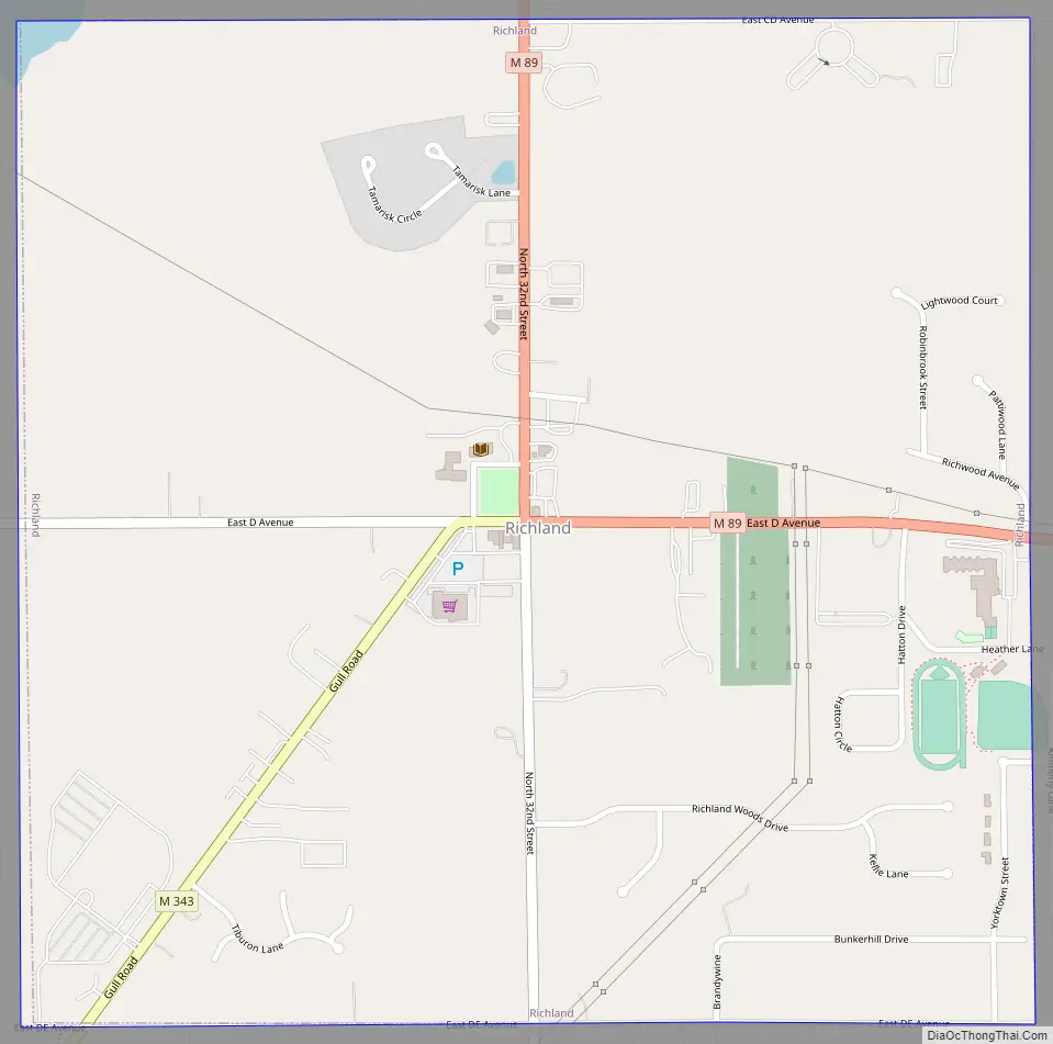
Richland Road Map
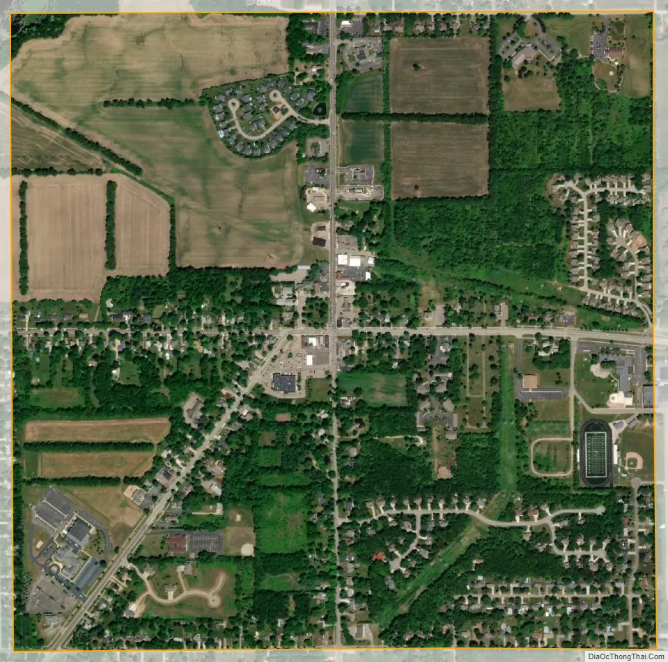
Richland city Satellite Map
Geography
According to the United States Census Bureau, the village has a total area of 1.01 square miles (2.62 km), all land.
See also
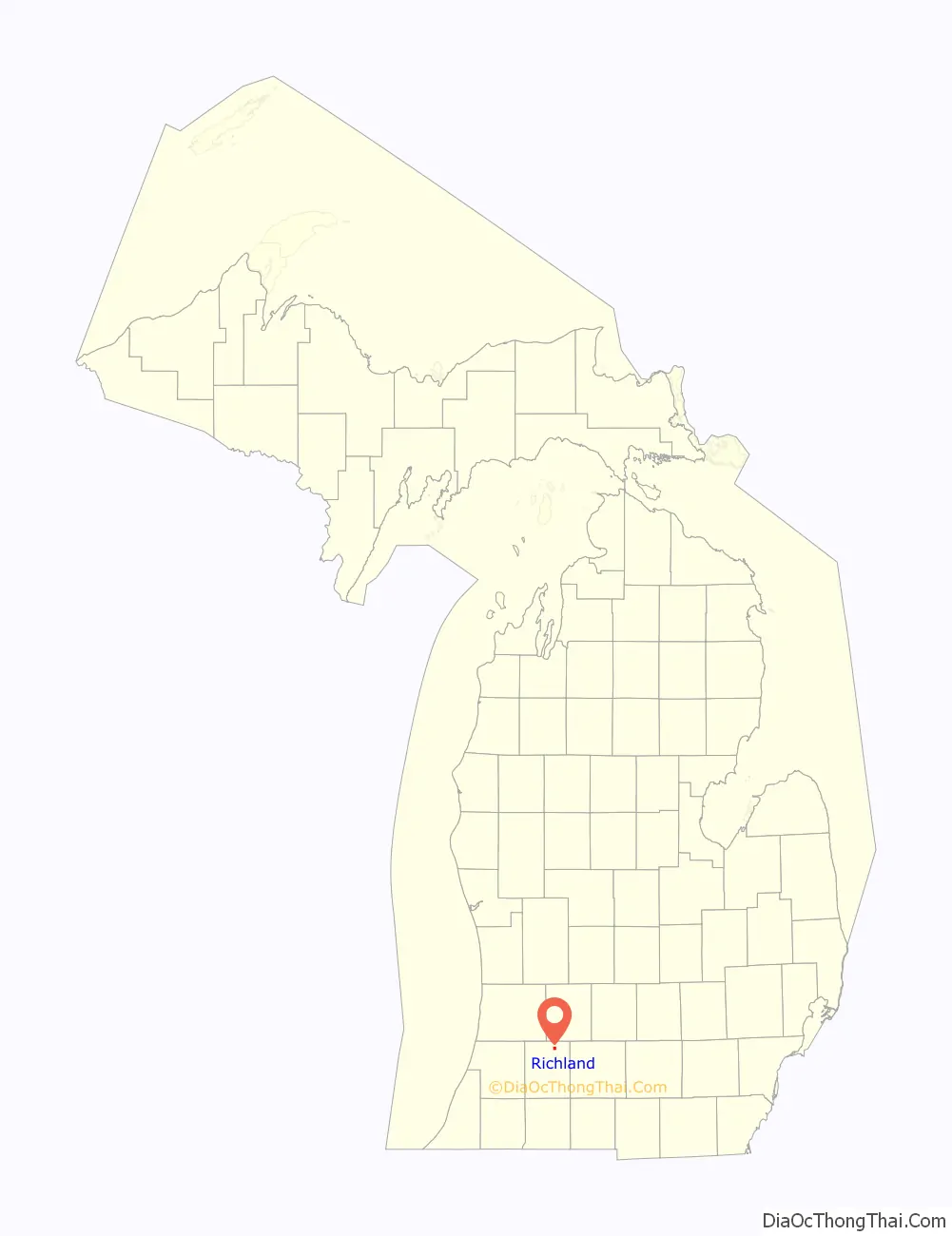
Map of Michigan State and its subdivision:- Alcona
- Alger
- Allegan
- Alpena
- Antrim
- Arenac
- Baraga
- Barry
- Bay
- Benzie
- Berrien
- Branch
- Calhoun
- Cass
- Charlevoix
- Cheboygan
- Chippewa
- Clare
- Clinton
- Crawford
- Delta
- Dickinson
- Eaton
- Emmet
- Genesee
- Gladwin
- Gogebic
- Grand Traverse
- Gratiot
- Hillsdale
- Houghton
- Huron
- Ingham
- Ionia
- Iosco
- Iron
- Isabella
- Jackson
- Kalamazoo
- Kalkaska
- Kent
- Keweenaw
- Lake
- Lake Hurron
- Lake Michigan
- Lake St. Clair
- Lake Superior
- Lapeer
- Leelanau
- Lenawee
- Livingston
- Luce
- Mackinac
- Macomb
- Manistee
- Marquette
- Mason
- Mecosta
- Menominee
- Midland
- Missaukee
- Monroe
- Montcalm
- Montmorency
- Muskegon
- Newaygo
- Oakland
- Oceana
- Ogemaw
- Ontonagon
- Osceola
- Oscoda
- Otsego
- Ottawa
- Presque Isle
- Roscommon
- Saginaw
- Saint Clair
- Saint Joseph
- Sanilac
- Schoolcraft
- Shiawassee
- Tuscola
- Van Buren
- Washtenaw
- Wayne
- Wexford
- Alabama
- Alaska
- Arizona
- Arkansas
- California
- Colorado
- Connecticut
- Delaware
- District of Columbia
- Florida
- Georgia
- Hawaii
- Idaho
- Illinois
- Indiana
- Iowa
- Kansas
- Kentucky
- Louisiana
- Maine
- Maryland
- Massachusetts
- Michigan
- Minnesota
- Mississippi
- Missouri
- Montana
- Nebraska
- Nevada
- New Hampshire
- New Jersey
- New Mexico
- New York
- North Carolina
- North Dakota
- Ohio
- Oklahoma
- Oregon
- Pennsylvania
- Rhode Island
- South Carolina
- South Dakota
- Tennessee
- Texas
- Utah
- Vermont
- Virginia
- Washington
- West Virginia
- Wisconsin
- Wyoming