Saranac is a village in Boston Twp, Ionia County in the U.S. state of Michigan. The population was 1,325 at the 2010 census. Today, Saranac serves as a retail and services hub for agricultural areas surrounding the village.
| Name: | Saranac village |
|---|---|
| LSAD Code: | 47 |
| LSAD Description: | village (suffix) |
| State: | Michigan |
| County: | Ionia County |
| Elevation: | 646 ft (197 m) |
| Total Area: | 1.20 sq mi (3.11 km²) |
| Land Area: | 1.15 sq mi (2.98 km²) |
| Water Area: | 0.05 sq mi (0.13 km²) |
| Total Population: | 1,376 |
| Population Density: | 1,196.52/sq mi (461.91/km²) |
| ZIP code: | 48881 |
| Area code: | 616 |
| FIPS code: | 2671660 |
| GNISfeature ID: | 0637257 |
| Website: | villageofsaranacmi.org |
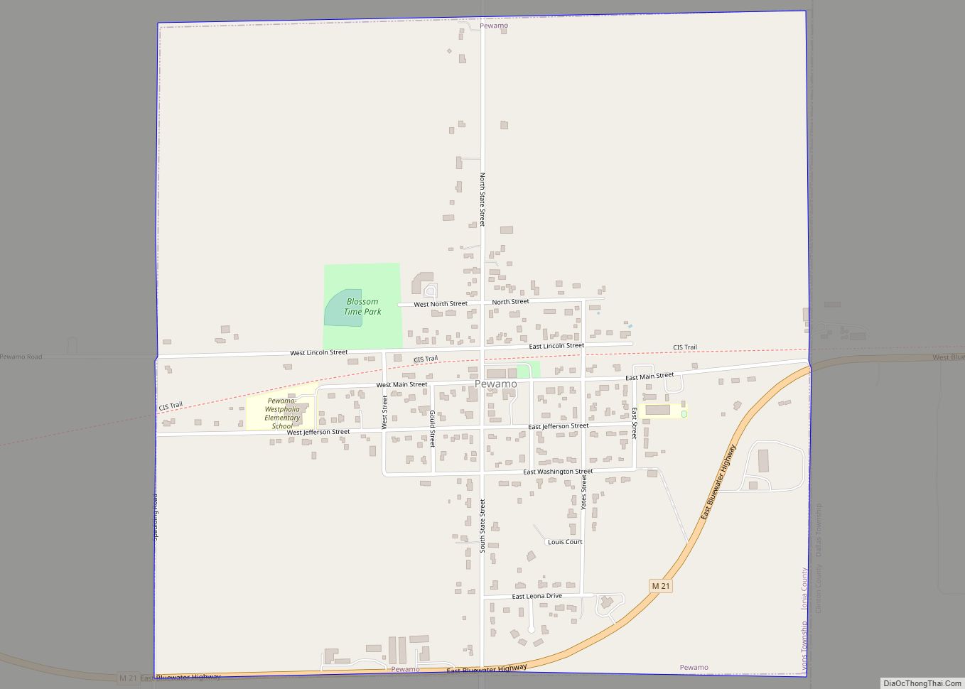
Online Interactive Map
Click on ![]() to view map in "full screen" mode.
to view map in "full screen" mode.
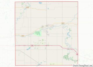
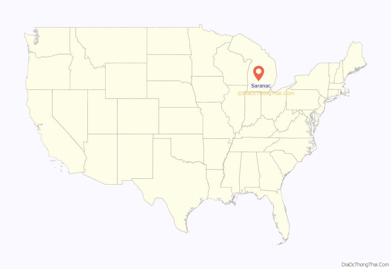
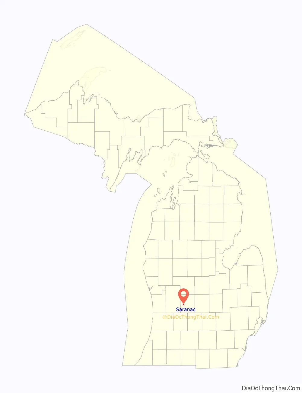
Saranac location map. Where is Saranac village?
History
Saranac had its roots in 1836, when a Grand Rapids judge by the name of Jefferson Morrison purchased the land where Lake Creek meets the Grand River. Soon after, he sold parts of the land to Dwight & Hutchinson from Detroit, and together, they founded the village. Proceeding quickly, the proprietors named it Saranac and held a public sale in Detroit. There they sold off many Saranac lots without doing much to ensure the integrity of their original records. Soon after, Dwight & Hutchinson became concerned over the lack of development of the village by the lot-purchasers and gave Cyprian S. Hooker land on which to build a saw mill. Construction began in 1837, but didn’t see completion until 1841. Partnering with a furniture maker named Jerry Stocking, the two set out to make their fortunes in the new village. However, they did not find success, and in 1846, the gentlemen gave up and moved away. Other villagers followed suit, convinced the village was doomed. In 1847, a merchant named Ammon Wilson moved in and set up shop on Stocking’s former property and later built a warehouse to ship wheat to Grand Rapids, which saw considerable success. The village grew around it; a tavern and a hotel soon followed. In 1851, proprietors of the sold-off lots were allowed to re-dub the township “Boston”, due to an oversight in Dwight & Hutchinson’s records and it wouldn’t be until 1859 that popular demand would see the name changed back to “Saranac”. Schools, stores, and churches, followed in the subsequent years. In 1857, the first train to reach Saranac rolled through, marking a significant period of growth for the village. Lorren Denman a noted kiln operator also was raised in Saranac.
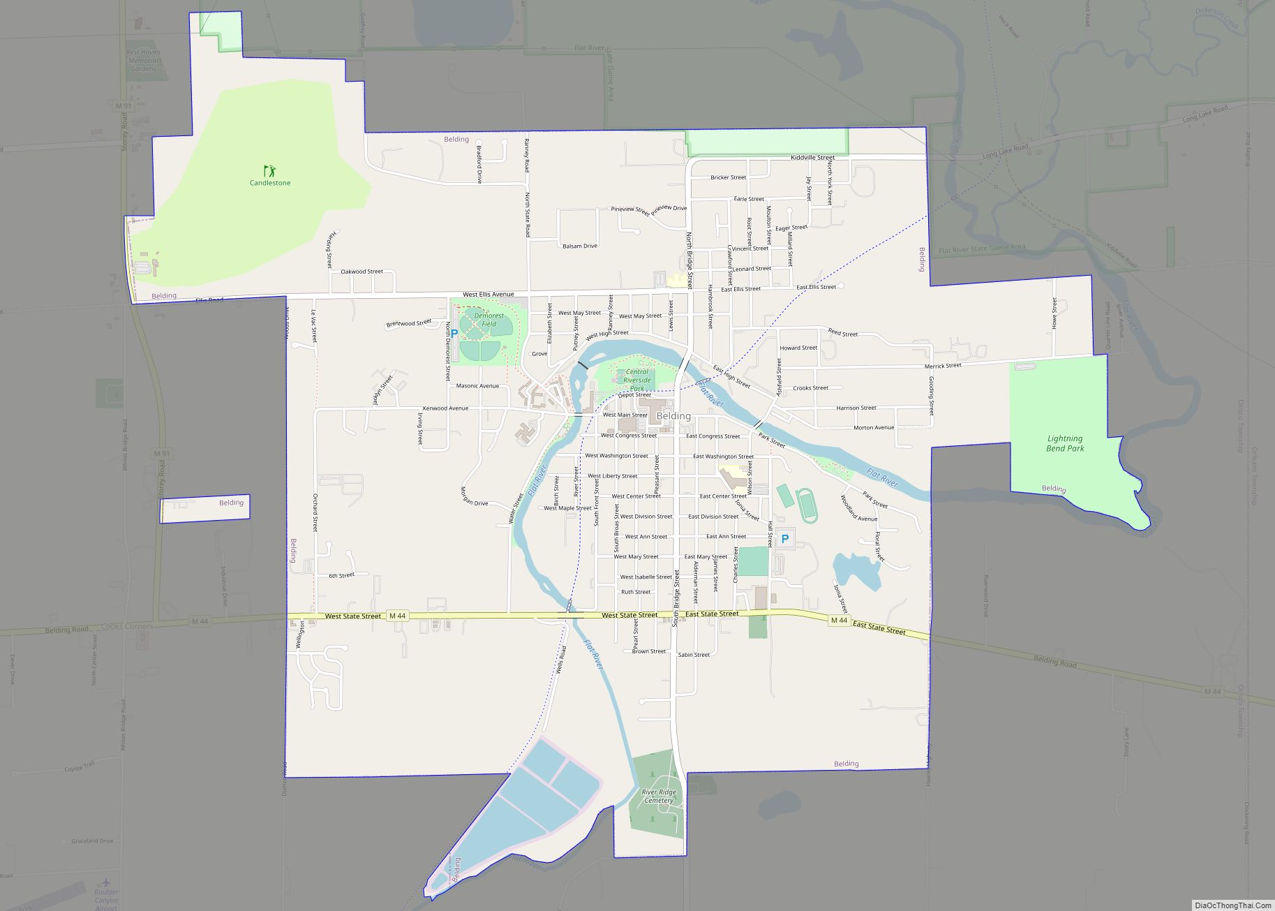
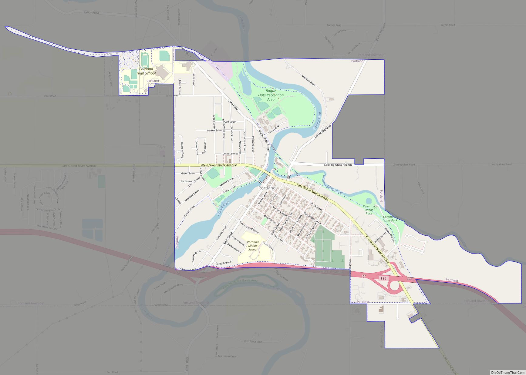
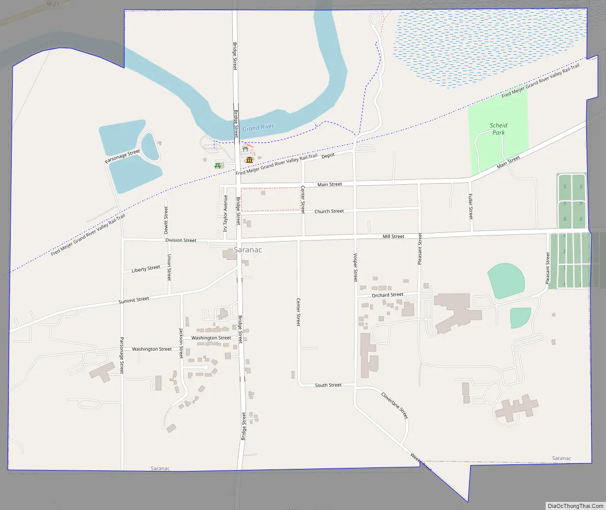
Saranac Road Map
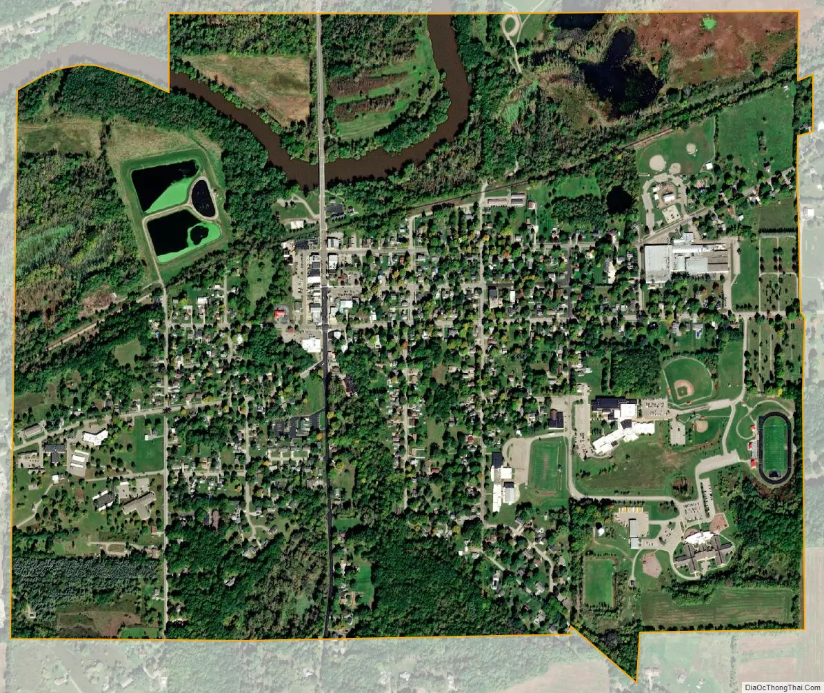
Saranac city Satellite Map
Geography
According to the United States Census Bureau, the village has a total area of 1.20 square miles (3.11 km), of which 1.15 square miles (2.98 km) is land and 0.05 square miles (0.13 km) is water.
The village is located along the Grand River Valley, within a deep glacial drainage channel and is intersected by the Grand River. The landscape itself is dominated by dense forest, and sprawling, open farmland. The forest is closely associated with the basin of the Grand River and its floodplains and wetlands. However, wetlands have dwindled over the years, due to drainage and filling in order to improve agricultural opportunities within the region. This is not atypical within the state of Michigan, despite the vast ecological importance that Michigan’s wetlands possess.
See also
Map of Michigan State and its subdivision:- Alcona
- Alger
- Allegan
- Alpena
- Antrim
- Arenac
- Baraga
- Barry
- Bay
- Benzie
- Berrien
- Branch
- Calhoun
- Cass
- Charlevoix
- Cheboygan
- Chippewa
- Clare
- Clinton
- Crawford
- Delta
- Dickinson
- Eaton
- Emmet
- Genesee
- Gladwin
- Gogebic
- Grand Traverse
- Gratiot
- Hillsdale
- Houghton
- Huron
- Ingham
- Ionia
- Iosco
- Iron
- Isabella
- Jackson
- Kalamazoo
- Kalkaska
- Kent
- Keweenaw
- Lake
- Lake Hurron
- Lake Michigan
- Lake St. Clair
- Lake Superior
- Lapeer
- Leelanau
- Lenawee
- Livingston
- Luce
- Mackinac
- Macomb
- Manistee
- Marquette
- Mason
- Mecosta
- Menominee
- Midland
- Missaukee
- Monroe
- Montcalm
- Montmorency
- Muskegon
- Newaygo
- Oakland
- Oceana
- Ogemaw
- Ontonagon
- Osceola
- Oscoda
- Otsego
- Ottawa
- Presque Isle
- Roscommon
- Saginaw
- Saint Clair
- Saint Joseph
- Sanilac
- Schoolcraft
- Shiawassee
- Tuscola
- Van Buren
- Washtenaw
- Wayne
- Wexford
- Alabama
- Alaska
- Arizona
- Arkansas
- California
- Colorado
- Connecticut
- Delaware
- District of Columbia
- Florida
- Georgia
- Hawaii
- Idaho
- Illinois
- Indiana
- Iowa
- Kansas
- Kentucky
- Louisiana
- Maine
- Maryland
- Massachusetts
- Michigan
- Minnesota
- Mississippi
- Missouri
- Montana
- Nebraska
- Nevada
- New Hampshire
- New Jersey
- New Mexico
- New York
- North Carolina
- North Dakota
- Ohio
- Oklahoma
- Oregon
- Pennsylvania
- Rhode Island
- South Carolina
- South Dakota
- Tennessee
- Texas
- Utah
- Vermont
- Virginia
- Washington
- West Virginia
- Wisconsin
- Wyoming