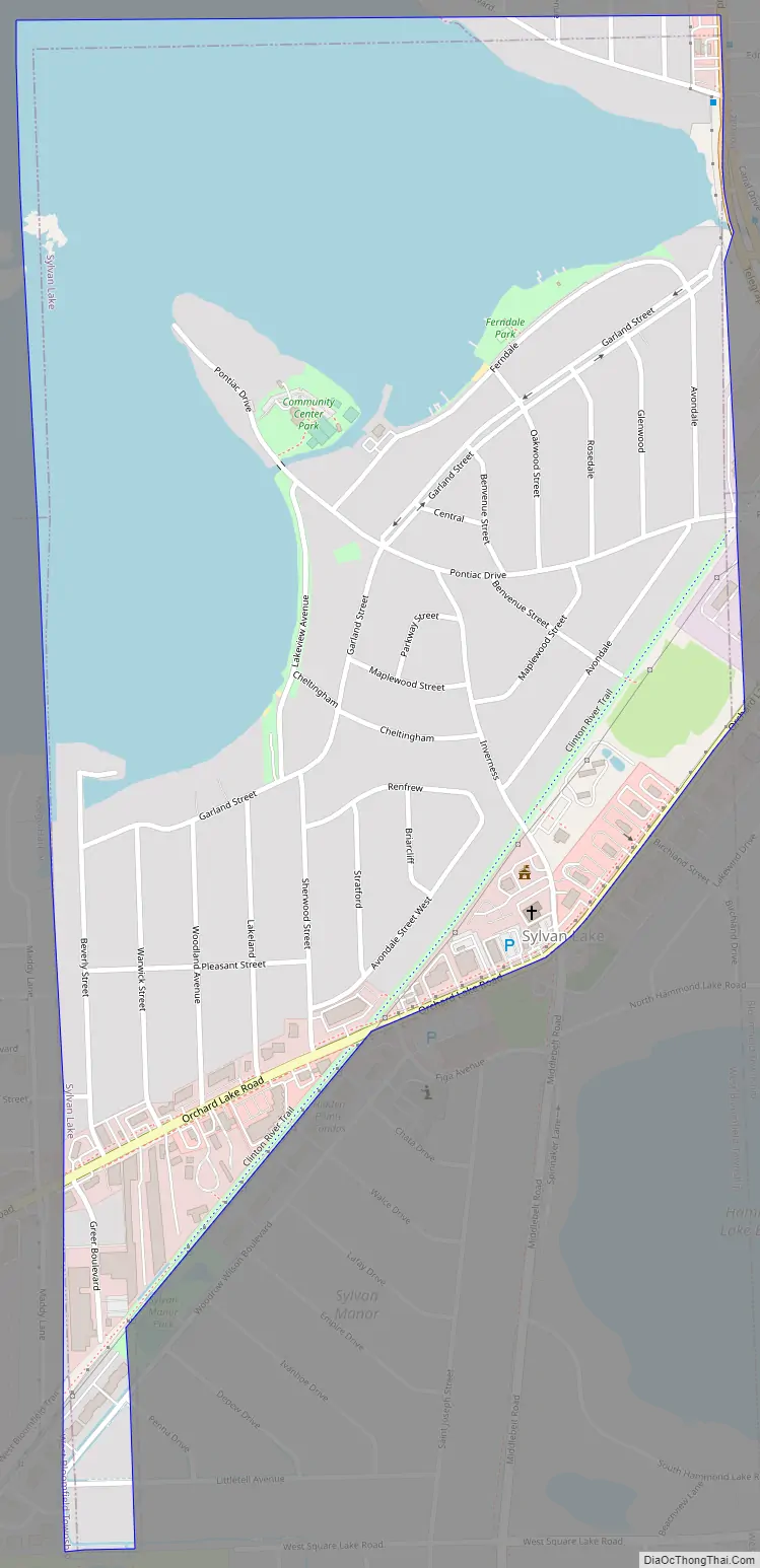
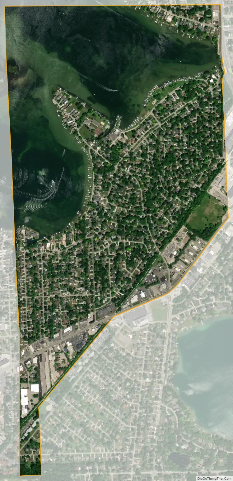
Sylvan Lake is a city in Oakland County in the U.S. state of Michigan. The population was 1,720 at the 2010 census. As a northern suburb of Metro Detroit, Sylvan Lake is about 20 miles (32 km) northwest of the city of Detroit. The city also shares a northeastern border with the city of Pontiac.
With a land area of 0.51 square miles (1.32 km), Sylvan Lake is the fourth-smallest city by land area in the state after Clarkston, Petersburg, and Keego Harbor. Sylvan Lake borders Keego Harbor on the west.
The city uses the tag line “the prettiest little city in the State of Michigan”
| Name: | Sylvan Lake city |
|---|---|
| LSAD Code: | 25 |
| LSAD Description: | city (suffix) |
| State: | Michigan |
| County: | Oakland County |
| Incorporated: | 1921 (village) 1947 (city) |
| Elevation: | 955 ft (291 m) |
| Land Area: | 0.52 sq mi (1.35 km²) |
| Water Area: | 0.33 sq mi (0.86 km²) |
| Population Density: | 3,313.46/sq mi (1,280.42/km²) |
| Area code: | 248 |
| FIPS code: | 2677860 |
| GNISfeature ID: | 1614519 |
Online Interactive Map
Click on ![]() to view map in "full screen" mode.
to view map in "full screen" mode.
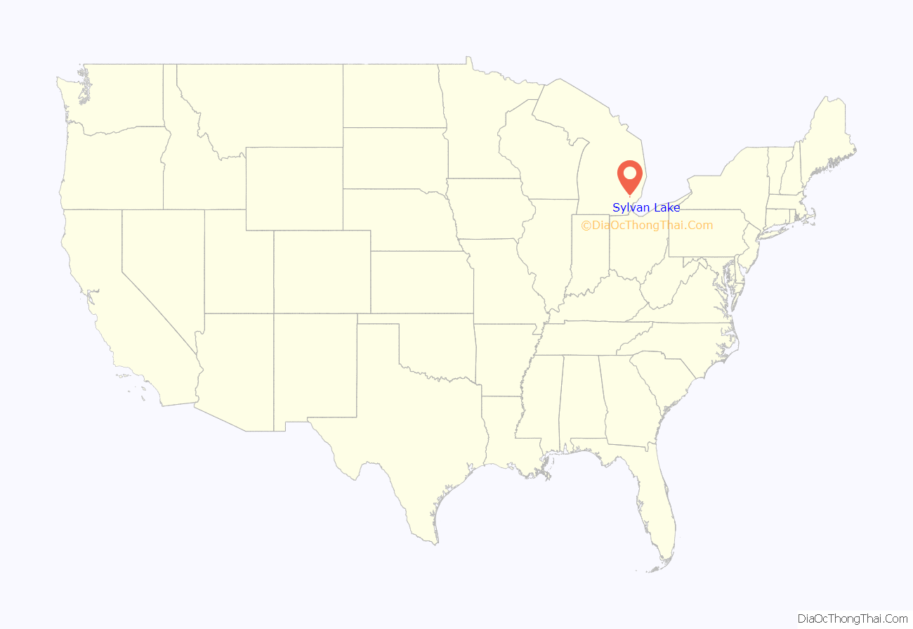
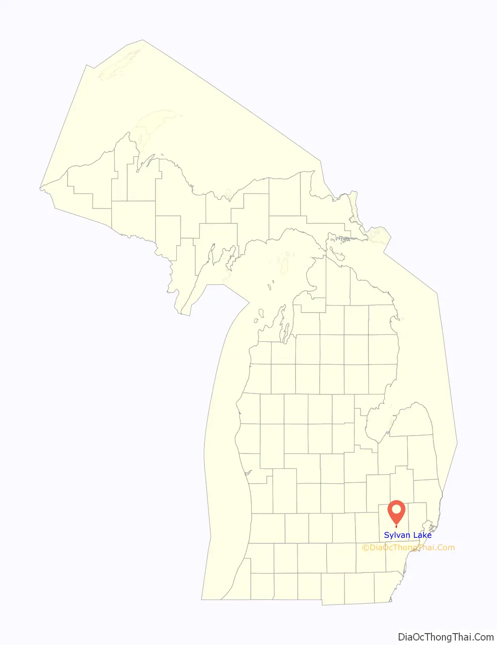
Sylvan Lake location map. Where is Sylvan Lake city?
Sylvan Lake Road Map
Sylvan Lake city Satellite Map
Geography
According to the United States Census Bureau, the city has a total area of 0.82 square miles (2.12 km), of which 0.51 square miles (1.32 km) is land and 0.31 square miles (0.80 km) (37.8%) is water.
See also
Map of Michigan State and its subdivision:- Alcona
- Alger
- Allegan
- Alpena
- Antrim
- Arenac
- Baraga
- Barry
- Bay
- Benzie
- Berrien
- Branch
- Calhoun
- Cass
- Charlevoix
- Cheboygan
- Chippewa
- Clare
- Clinton
- Crawford
- Delta
- Dickinson
- Eaton
- Emmet
- Genesee
- Gladwin
- Gogebic
- Grand Traverse
- Gratiot
- Hillsdale
- Houghton
- Huron
- Ingham
- Ionia
- Iosco
- Iron
- Isabella
- Jackson
- Kalamazoo
- Kalkaska
- Kent
- Keweenaw
- Lake
- Lake Hurron
- Lake Michigan
- Lake St. Clair
- Lake Superior
- Lapeer
- Leelanau
- Lenawee
- Livingston
- Luce
- Mackinac
- Macomb
- Manistee
- Marquette
- Mason
- Mecosta
- Menominee
- Midland
- Missaukee
- Monroe
- Montcalm
- Montmorency
- Muskegon
- Newaygo
- Oakland
- Oceana
- Ogemaw
- Ontonagon
- Osceola
- Oscoda
- Otsego
- Ottawa
- Presque Isle
- Roscommon
- Saginaw
- Saint Clair
- Saint Joseph
- Sanilac
- Schoolcraft
- Shiawassee
- Tuscola
- Van Buren
- Washtenaw
- Wayne
- Wexford
- Alabama
- Alaska
- Arizona
- Arkansas
- California
- Colorado
- Connecticut
- Delaware
- District of Columbia
- Florida
- Georgia
- Hawaii
- Idaho
- Illinois
- Indiana
- Iowa
- Kansas
- Kentucky
- Louisiana
- Maine
- Maryland
- Massachusetts
- Michigan
- Minnesota
- Mississippi
- Missouri
- Montana
- Nebraska
- Nevada
- New Hampshire
- New Jersey
- New Mexico
- New York
- North Carolina
- North Dakota
- Ohio
- Oklahoma
- Oregon
- Pennsylvania
- Rhode Island
- South Carolina
- South Dakota
- Tennessee
- Texas
- Utah
- Vermont
- Virginia
- Washington
- West Virginia
- Wisconsin
- Wyoming


