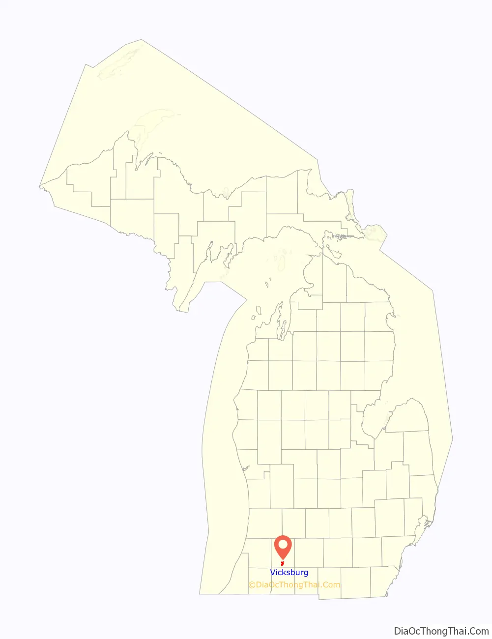
Vicksburg is a village in Kalamazoo County in the U.S. state of Michigan. The population was 3,706 at the 2020 census. The west part of the village is in Schoolcraft Township and the east part is in Brady Township.
| Name: | Vicksburg village |
|---|---|
| LSAD Code: | 47 |
| LSAD Description: | village (suffix) |
| State: | Michigan |
| County: | Kalamazoo County |
| Incorporated: | 1871 |
| Elevation: | 853 ft (260 m) |
| Total Area: | 3.09 sq mi (8.00 km²) |
| Land Area: | 2.96 sq mi (7.66 km²) |
| Water Area: | 0.13 sq mi (0.35 km²) |
| Total Population: | 3,706 |
| Population Density: | 1,253.72/sq mi (484.11/km²) |
| ZIP code: | 49097 |
| Area code: | 269 |
| FIPS code: | 2682300 |
| GNISfeature ID: | 1615573 |
| Website: | www.vicksburgmi.org |
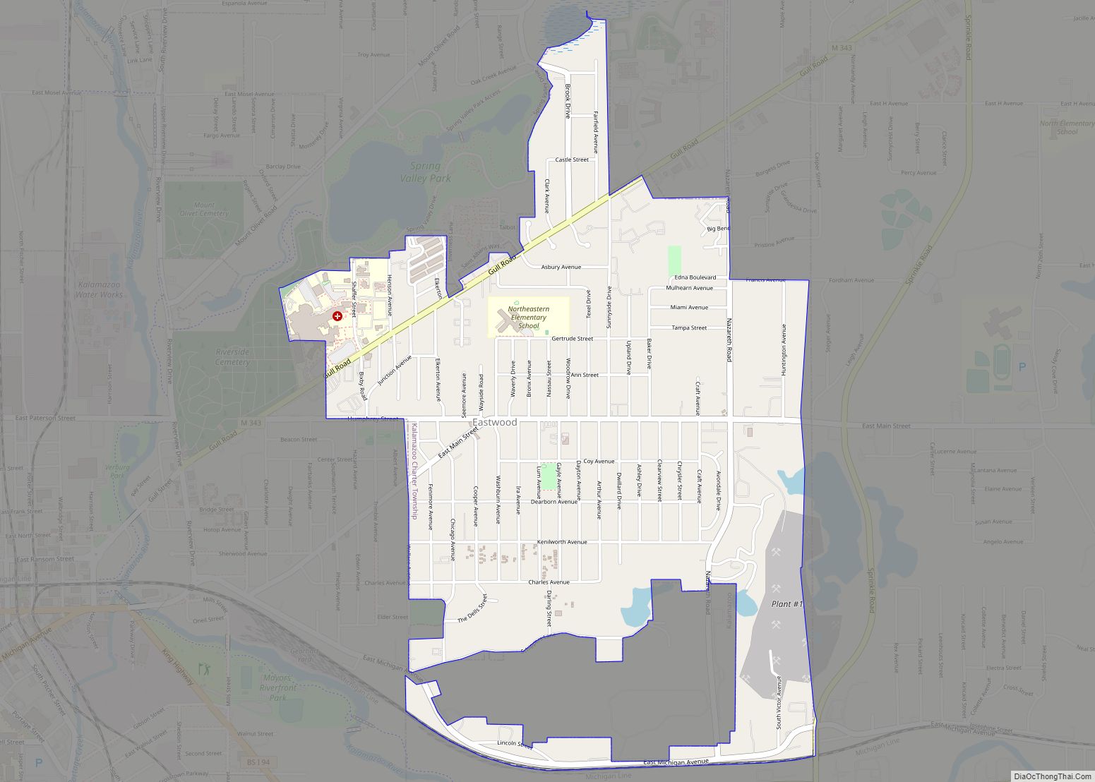
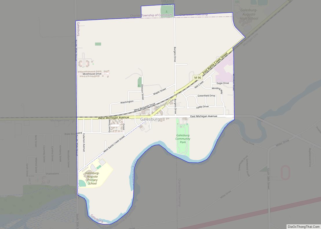
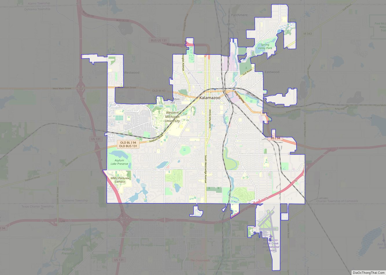
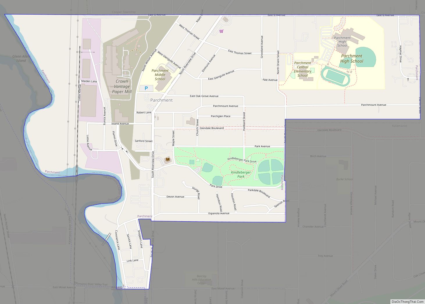
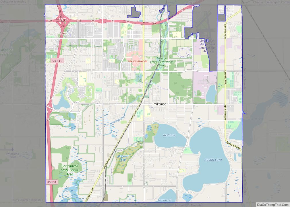
Online Interactive Map
Click on ![]() to view map in "full screen" mode.
to view map in "full screen" mode.
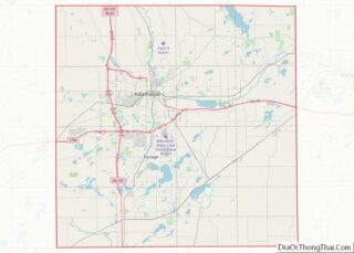
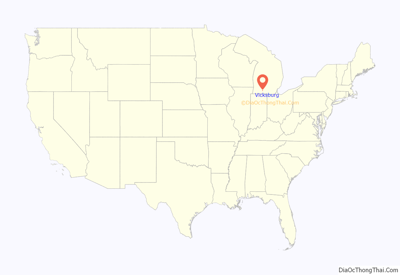
Vicksburg location map. Where is Vicksburg village?
History
John Vickers, the town’s namesake, settled in the area in 1831. It was incorporated as a village of the state in 1871. A Michigan Registered Historic Site plaque reads:
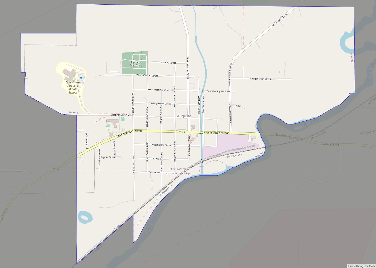
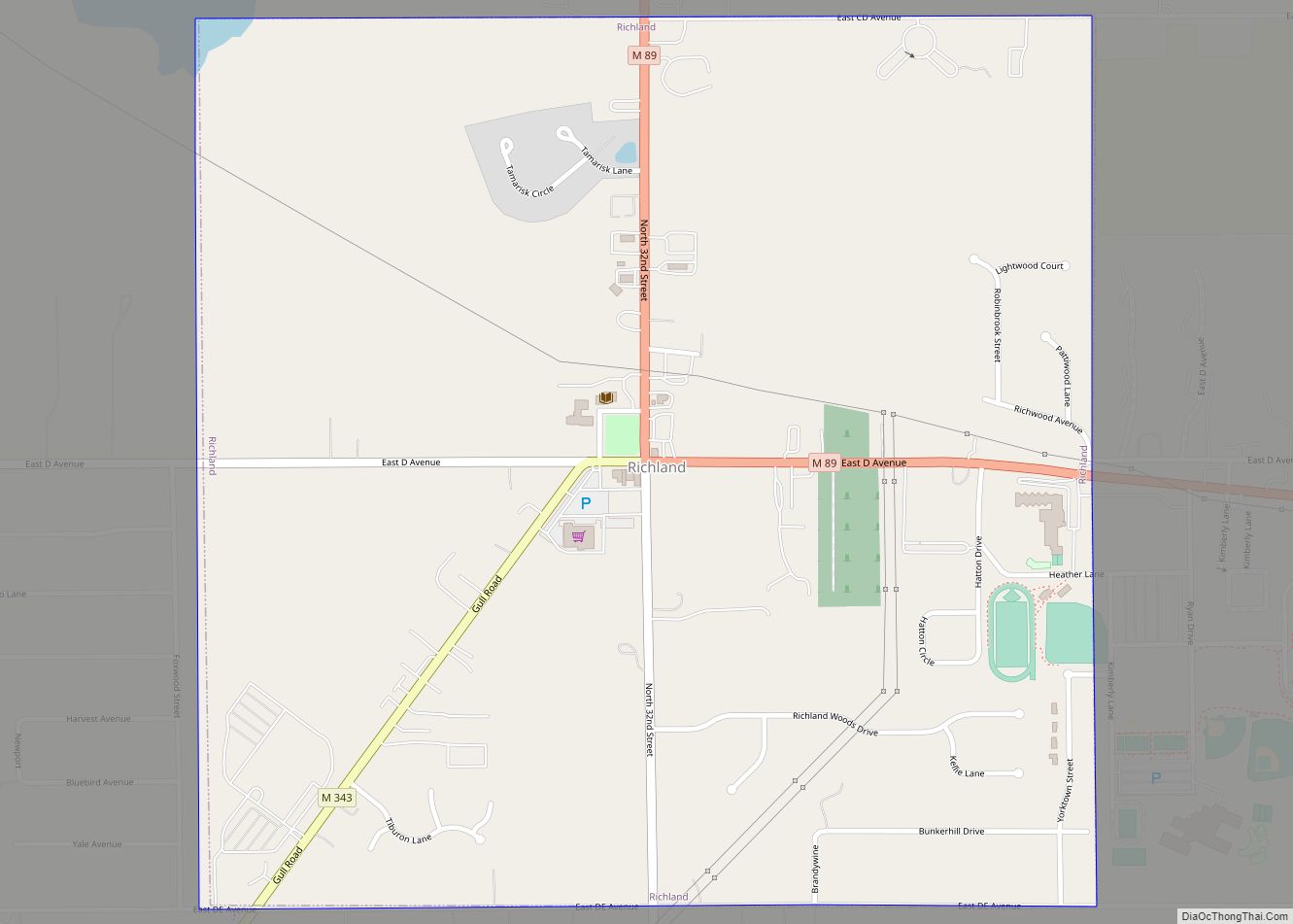
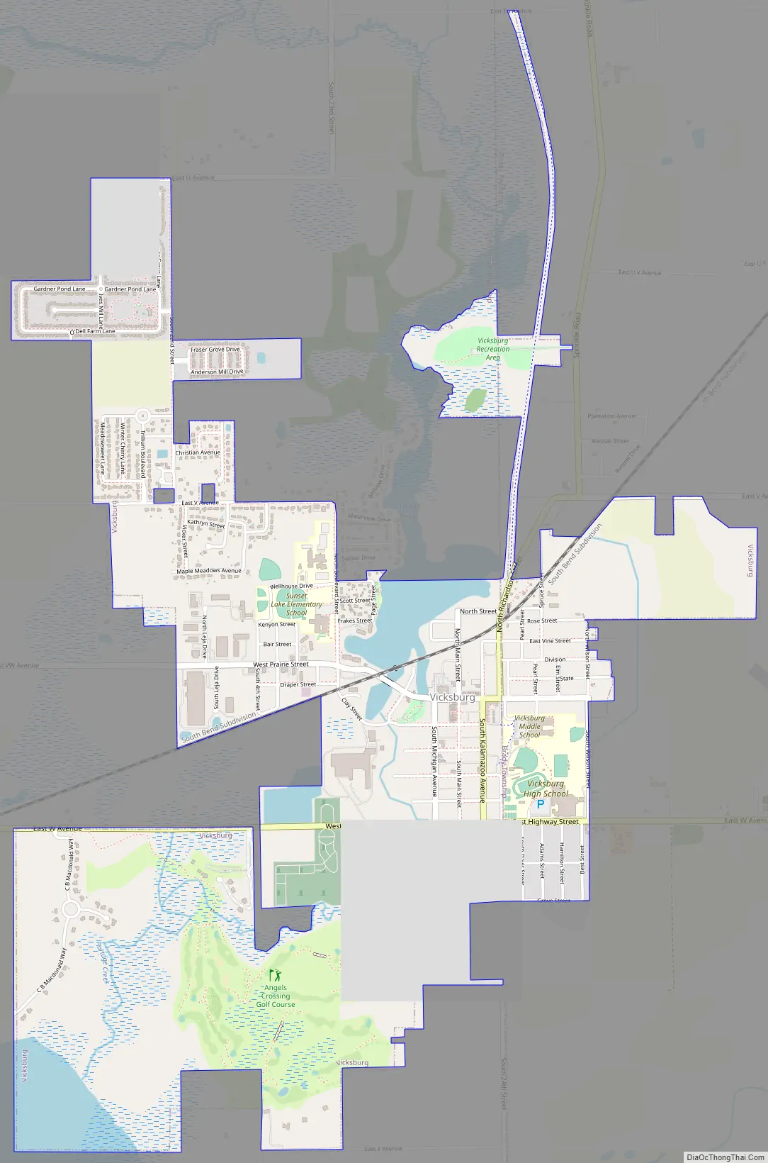
Vicksburg Road Map
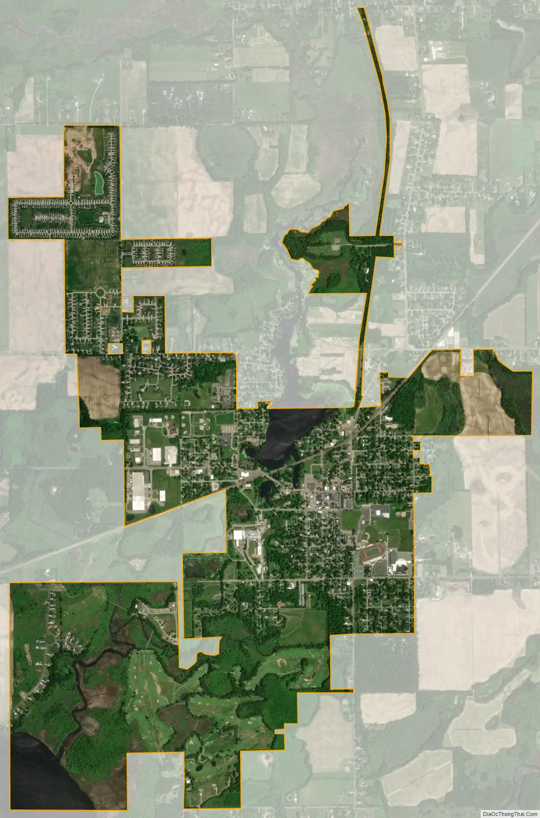
Vicksburg city Satellite Map
Geography
According to the United States Census Bureau, the village has a total area of 3.15 square miles (8.16 km), of which 3.01 square miles (7.80 km) is land and 0.14 square miles (0.36 km) is water. Vicksburg is located on the shore of Sunset Lake.
See also
Map of Michigan State and its subdivision:- Alcona
- Alger
- Allegan
- Alpena
- Antrim
- Arenac
- Baraga
- Barry
- Bay
- Benzie
- Berrien
- Branch
- Calhoun
- Cass
- Charlevoix
- Cheboygan
- Chippewa
- Clare
- Clinton
- Crawford
- Delta
- Dickinson
- Eaton
- Emmet
- Genesee
- Gladwin
- Gogebic
- Grand Traverse
- Gratiot
- Hillsdale
- Houghton
- Huron
- Ingham
- Ionia
- Iosco
- Iron
- Isabella
- Jackson
- Kalamazoo
- Kalkaska
- Kent
- Keweenaw
- Lake
- Lake Hurron
- Lake Michigan
- Lake St. Clair
- Lake Superior
- Lapeer
- Leelanau
- Lenawee
- Livingston
- Luce
- Mackinac
- Macomb
- Manistee
- Marquette
- Mason
- Mecosta
- Menominee
- Midland
- Missaukee
- Monroe
- Montcalm
- Montmorency
- Muskegon
- Newaygo
- Oakland
- Oceana
- Ogemaw
- Ontonagon
- Osceola
- Oscoda
- Otsego
- Ottawa
- Presque Isle
- Roscommon
- Saginaw
- Saint Clair
- Saint Joseph
- Sanilac
- Schoolcraft
- Shiawassee
- Tuscola
- Van Buren
- Washtenaw
- Wayne
- Wexford
- Alabama
- Alaska
- Arizona
- Arkansas
- California
- Colorado
- Connecticut
- Delaware
- District of Columbia
- Florida
- Georgia
- Hawaii
- Idaho
- Illinois
- Indiana
- Iowa
- Kansas
- Kentucky
- Louisiana
- Maine
- Maryland
- Massachusetts
- Michigan
- Minnesota
- Mississippi
- Missouri
- Montana
- Nebraska
- Nevada
- New Hampshire
- New Jersey
- New Mexico
- New York
- North Carolina
- North Dakota
- Ohio
- Oklahoma
- Oregon
- Pennsylvania
- Rhode Island
- South Carolina
- South Dakota
- Tennessee
- Texas
- Utah
- Vermont
- Virginia
- Washington
- West Virginia
- Wisconsin
- Wyoming