Webberville is a village in Ingham County in the U.S. state of Michigan. It is located within Leroy Township. The population was 1,288 at the 2020 census.
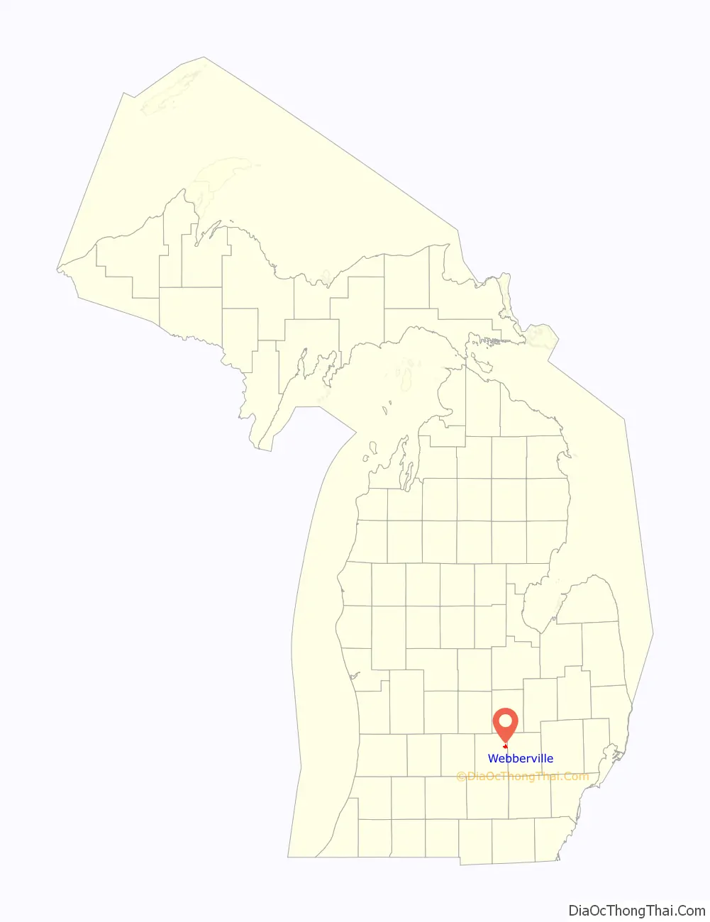
The village is just southeast of the junction of M-43 and M-52 with I-96. It is about 5 miles (8.0 km) southeast of Williamston and about 20 miles (32 km) southeast of Lansing.
| Name: | Webberville village |
|---|---|
| LSAD Code: | 47 |
| LSAD Description: | village (suffix) |
| State: | Michigan |
| County: | Ingham County |
| Elevation: | 876 ft (267 m) |
| Total Area: | 1.83 sq mi (4.74 km²) |
| Land Area: | 1.82 sq mi (4.71 km²) |
| Water Area: | 0.01 sq mi (0.03 km²) |
| Total Population: | 1,288 |
| Population Density: | 707.69/sq mi (273.26/km²) |
| Area code: | 517 |
| FIPS code: | 2685080 |
| GNISfeature ID: | 2400119 |
Online Interactive Map
Click on ![]() to view map in "full screen" mode.
to view map in "full screen" mode.
Webberville location map. Where is Webberville village?
History
Webberville was settled in 1837 by Ephraim Meech. It was originally named Phelpstown. In 1850 it was renamed Leroy after Daniel LeRoy the first Attorney General of the state of Michigan. It was renamed Webberville in 1867 when the post office was reestablished since there was another town in Michigan named Leroy. Webberville was for the postmaster Hubert Webber.
The Michigan Brewing Company operated in Webberville from 1996–2012.
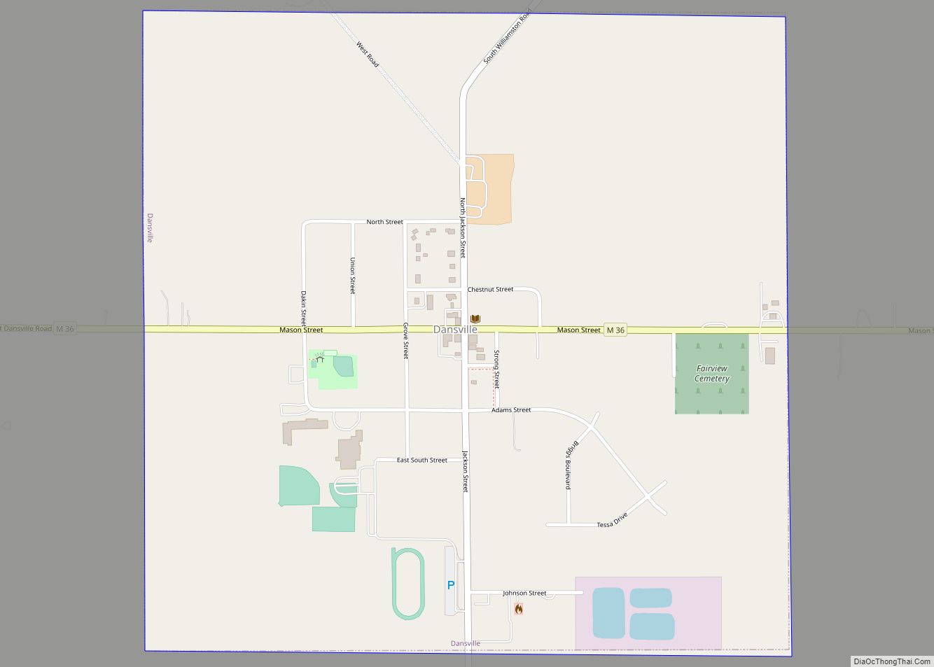
Webberville Road Map
Webberville city Satellite Map
Geography
According to the United States Census Bureau, the village had a total area of 1.84 square miles (4.77 km), of which 1.83 square miles (4.74 km) is land and 0.01 square miles (0.03 km) is water.
See also
Map of Michigan State and its subdivision:- Alcona
- Alger
- Allegan
- Alpena
- Antrim
- Arenac
- Baraga
- Barry
- Bay
- Benzie
- Berrien
- Branch
- Calhoun
- Cass
- Charlevoix
- Cheboygan
- Chippewa
- Clare
- Clinton
- Crawford
- Delta
- Dickinson
- Eaton
- Emmet
- Genesee
- Gladwin
- Gogebic
- Grand Traverse
- Gratiot
- Hillsdale
- Houghton
- Huron
- Ingham
- Ionia
- Iosco
- Iron
- Isabella
- Jackson
- Kalamazoo
- Kalkaska
- Kent
- Keweenaw
- Lake
- Lake Hurron
- Lake Michigan
- Lake St. Clair
- Lake Superior
- Lapeer
- Leelanau
- Lenawee
- Livingston
- Luce
- Mackinac
- Macomb
- Manistee
- Marquette
- Mason
- Mecosta
- Menominee
- Midland
- Missaukee
- Monroe
- Montcalm
- Montmorency
- Muskegon
- Newaygo
- Oakland
- Oceana
- Ogemaw
- Ontonagon
- Osceola
- Oscoda
- Otsego
- Ottawa
- Presque Isle
- Roscommon
- Saginaw
- Saint Clair
- Saint Joseph
- Sanilac
- Schoolcraft
- Shiawassee
- Tuscola
- Van Buren
- Washtenaw
- Wayne
- Wexford
- Alabama
- Alaska
- Arizona
- Arkansas
- California
- Colorado
- Connecticut
- Delaware
- District of Columbia
- Florida
- Georgia
- Hawaii
- Idaho
- Illinois
- Indiana
- Iowa
- Kansas
- Kentucky
- Louisiana
- Maine
- Maryland
- Massachusetts
- Michigan
- Minnesota
- Mississippi
- Missouri
- Montana
- Nebraska
- Nevada
- New Hampshire
- New Jersey
- New Mexico
- New York
- North Carolina
- North Dakota
- Ohio
- Oklahoma
- Oregon
- Pennsylvania
- Rhode Island
- South Carolina
- South Dakota
- Tennessee
- Texas
- Utah
- Vermont
- Virginia
- Washington
- West Virginia
- Wisconsin
- Wyoming

