Ypsilanti (/ˌɪpsɪˈlænti/), commonly shortened to Ypsi, is a city in Washtenaw County in the U.S. state of Michigan, best known as the home of Eastern Michigan University.
As of the 2020 census, the city’s population was 20,648. The city is bounded to the north by Superior Township and on the west, south, and east by Ypsilanti Township.
Ypsilanti is the historic site of Michigan State Normal School, now Eastern Michigan University, the fourth normal school established in the United States, and the historical campus of Cleary Business College, now Cleary University. It is also the location of the first Domino’s Pizza.
| Name: | Ypsilanti city |
|---|---|
| LSAD Code: | 25 |
| LSAD Description: | city (suffix) |
| State: | Michigan |
| County: | Washtenaw County |
| Incorporated: | 1832 (village) 1858 (city) |
| Elevation: | 719 ft (219 m) |
| Total Area: | 4.47 sq mi (11.58 km²) |
| Land Area: | 4.29 sq mi (11.12 km²) |
| Water Area: | 0.18 sq mi (0.46 km²) |
| Total Population: | 20,648 |
| Population Density: | 4,809.69/sq mi (1,857.19/km²) |
| Area code: | 734 |
| FIPS code: | 2689140 |
| GNISfeature ID: | 1616910 |
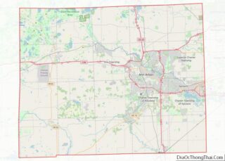
Online Interactive Map
Click on ![]() to view map in "full screen" mode.
to view map in "full screen" mode.
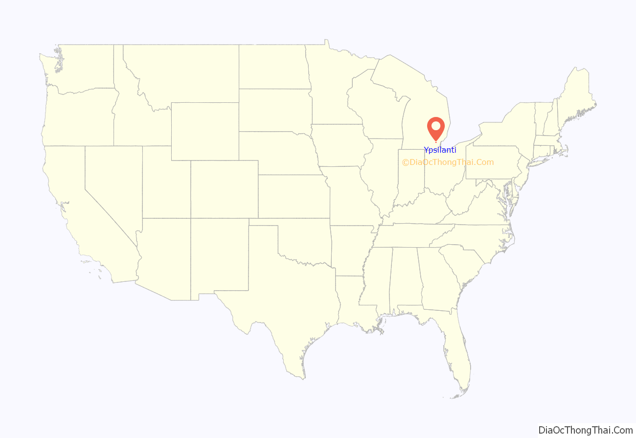
Ypsilanti location map. Where is Ypsilanti city?
History
Originally a trading post established in 1809 by a French-Canadian fur trader from Montreal, a permanent settlement was established on the east side of the Huron River in 1823 by Major Thomas Woodruff. It was incorporated into the Territory of Michigan as the village Woodruff’s Grove. A separate community a short distance away on the west side of the river was established in 1825 under the name “Ypsilanti”, after Demetrios Ypsilantis, a hero in the Greek War of Independence. Woodruff’s Grove changed its name to Ypsilanti in 1829, the year its namesake effectively won the war for Greek Independence at the Battle of Petra, with the two communities eventually merging. A bust of Demetrios Ypsilantis by Greek sculptor Christopher Nastos stands between a Greek and a US flag at the base of the landmark Ypsilanti Water Tower.
Ypsilanti has played an important role in the automobile industry. From 1920 to 1922, Apex Motors produced the “ACE” car. It was in Ypsilanti that Preston Tucker (whose family owned the Ypsilanti Machine Tool Company) designed and built the prototypes for his Tucker ’48. Tucker’s story was related in the film Tucker: The Man and His Dream, directed by Francis Ford Coppola.
In 1945, Henry J. Kaiser and Joseph W. Frazer bought the nearby Willow Run B-24 Liberator bomber plant from Ford Motor Company, and started to make Kaiser and Frazer model cars in 1947. The last Kaiser car made in Ypsilanti rolled off the assembly line in 1953, when the company merged with Willys-Overland and moved production to Toledo, Ohio. General Motors purchased the Kaiser Frazer plant, and converted it into its Hydramatic Division (now called its Powertrain division), beginning production in November 1953. The GM Powertrain Division ceased production at this facility in 2010.
Ypsilanti is also the location of the last Hudson automobile dealership. Today, the former dealership is the site of the Ypsilanti Automotive Heritage Collection. The museum is the home to an original Fabulous Hudson Hornet race car, which inspired the character Doc Hudson in the 2006 Pixar animated film Cars.
In the early 1970s, the citizens reduced the penalty for the use and sale of marijuana to $5 (the Ypsilanti Marijuana Initiative; see also the Human Rights Party).
In 1979, Faz Husain was elected to the Ypsilanti city council, the first Muslim and the first native of India to win elected office in Michigan.
In the 1990s Ypsilanti became the first city in Michigan to pass a living wage ordinance.
On July 23, 2007, Governor Jennifer Granholm announced that Ypsilanti, along with the cities of Caro and Clio, was chosen by the Michigan State Housing Development Authority (MSHDA) to take part in the Blueprints for Michigan’s Downtowns program. The award provides for an economic development consultant to assist Ypsilanti in developing a growth and job creation strategy for the downtown area.
On June 23, 2020, Mayor Beth Bashert resigned after controversial comments she made about race during a Zoom meeting.
Timeline
- 1809 – Trading post established by French-Canadian Gabriel Godfroy from Montreal
- 1823 – Village of Woodruff’s Grove platted
- 1825 – April 21, Plat recorded under the name Ypsilanti
- 1827 – Ypsilanti Township organized
- 1832 – June 19, Woodruff’s Grove re-organized and incorporated as the Village of Ypsilanti
- 1849 – Eastern Michigan University founded as Michigan State Normal School
- 1858 – February 4, the Village of Ypsilanti reincorporated as a city
- 1890 – Michigan’s first interurban, the Ann Arbor and Ypsilanti Street Railway, begins service
- 1890 – The Ypsilanti Water Tower is completed
- 1929 – Miller Motors Hudson opens, it eventually becomes the last Hudson dealership in the world
- 1931 – McKenny Union opens as the first student union on the campus of a teachers’ college.
- 1959 – Eastern Michigan becomes a university
- 1960 – Tom Monaghan and James Monaghan found Domino’s Pizza as DomiNick’s Pizza at 507 W. Cross St, Ypsilanti.
- 1967 – Ypsilanti resident John Norman Collins is suspected of being the perpetrator of the Michigan murders, a series of murders of coeds at the University of Michigan and Eastern Michigan University. He was convicted in 1969, but of only one of the murders.
- 1990 – Eastern Michigan University achieves its highest student enrollment of 26,000
- 1998 – The Michigan Firehouse Museum is established preserving a firehouse built in 1898.
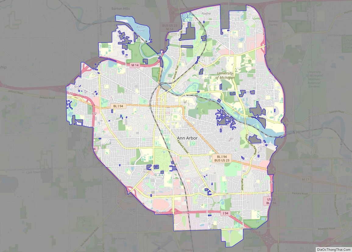
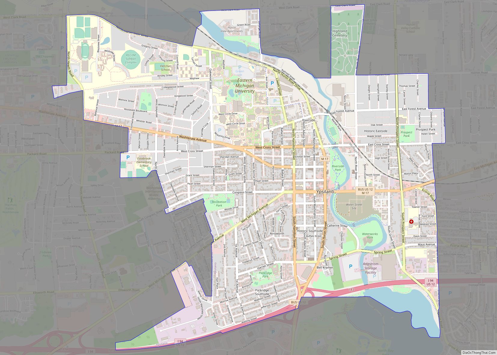
Ypsilanti Road Map
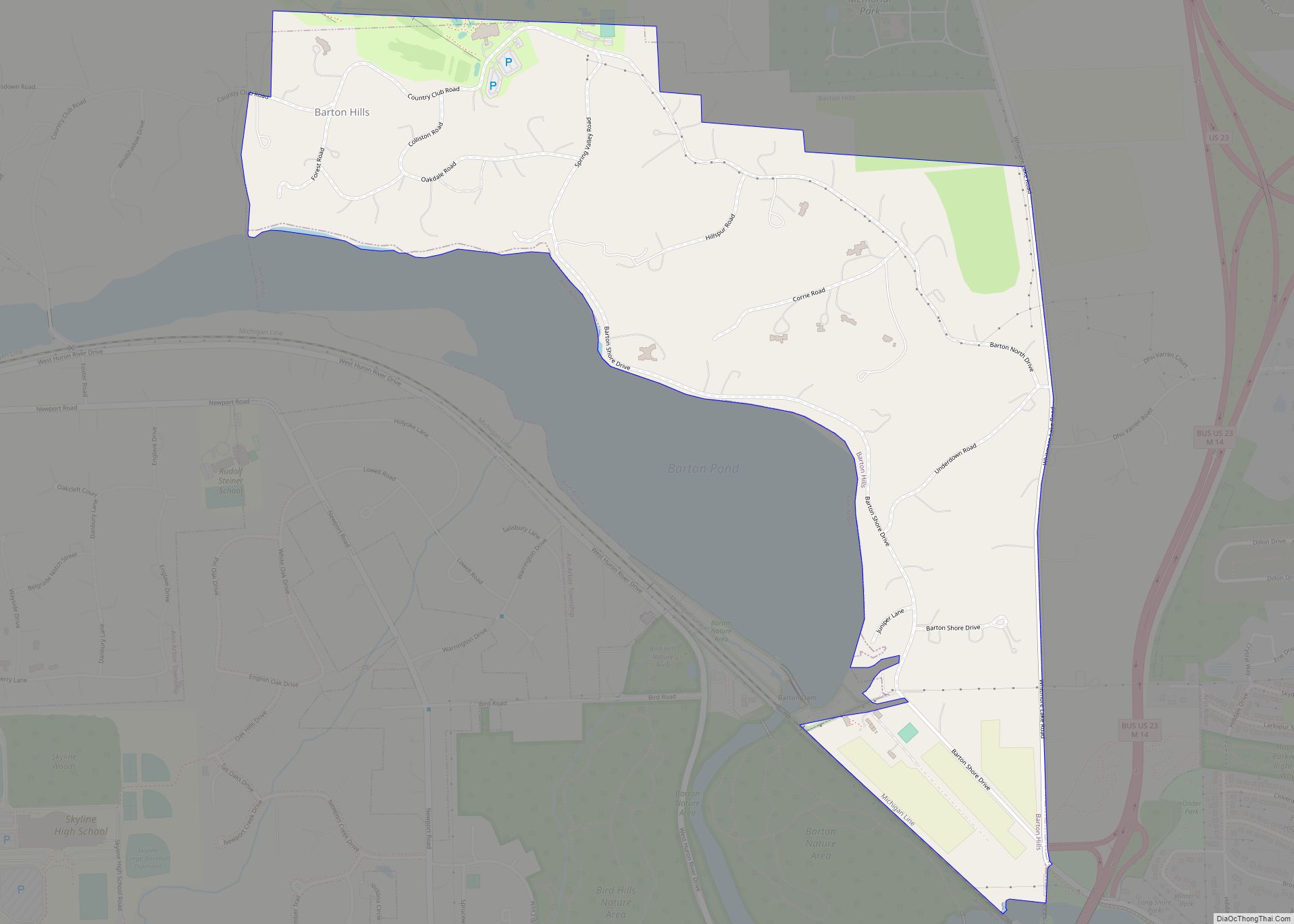
Ypsilanti city Satellite Map
Geography
According to the U.S. Census Bureau, the city has a total area of 4.47 square miles (11.58 km), of which 4.29 square miles (11.11 km) is land and 0.18 square miles (0.47 km) (4.02%) is water.
The Huron River flows through Ypsilanti with Ford Lake on the southern edge of the city. Paint Creek also runs through the city. The Border-to-Border Trail runs through the city.
See also
Map of Michigan State and its subdivision:- Alcona
- Alger
- Allegan
- Alpena
- Antrim
- Arenac
- Baraga
- Barry
- Bay
- Benzie
- Berrien
- Branch
- Calhoun
- Cass
- Charlevoix
- Cheboygan
- Chippewa
- Clare
- Clinton
- Crawford
- Delta
- Dickinson
- Eaton
- Emmet
- Genesee
- Gladwin
- Gogebic
- Grand Traverse
- Gratiot
- Hillsdale
- Houghton
- Huron
- Ingham
- Ionia
- Iosco
- Iron
- Isabella
- Jackson
- Kalamazoo
- Kalkaska
- Kent
- Keweenaw
- Lake
- Lake Hurron
- Lake Michigan
- Lake St. Clair
- Lake Superior
- Lapeer
- Leelanau
- Lenawee
- Livingston
- Luce
- Mackinac
- Macomb
- Manistee
- Marquette
- Mason
- Mecosta
- Menominee
- Midland
- Missaukee
- Monroe
- Montcalm
- Montmorency
- Muskegon
- Newaygo
- Oakland
- Oceana
- Ogemaw
- Ontonagon
- Osceola
- Oscoda
- Otsego
- Ottawa
- Presque Isle
- Roscommon
- Saginaw
- Saint Clair
- Saint Joseph
- Sanilac
- Schoolcraft
- Shiawassee
- Tuscola
- Van Buren
- Washtenaw
- Wayne
- Wexford
- Alabama
- Alaska
- Arizona
- Arkansas
- California
- Colorado
- Connecticut
- Delaware
- District of Columbia
- Florida
- Georgia
- Hawaii
- Idaho
- Illinois
- Indiana
- Iowa
- Kansas
- Kentucky
- Louisiana
- Maine
- Maryland
- Massachusetts
- Michigan
- Minnesota
- Mississippi
- Missouri
- Montana
- Nebraska
- Nevada
- New Hampshire
- New Jersey
- New Mexico
- New York
- North Carolina
- North Dakota
- Ohio
- Oklahoma
- Oregon
- Pennsylvania
- Rhode Island
- South Carolina
- South Dakota
- Tennessee
- Texas
- Utah
- Vermont
- Virginia
- Washington
- West Virginia
- Wisconsin
- Wyoming
