Zeeland (/ˈziːlənd/ ZEE-lənd) is a city in Ottawa County in the U.S. state of Michigan. The population was 5,719 at the 2020 census. The city is located at the western edge of Zeeland Charter Township. Its name is taken from the Dutch province of Zeeland.
| Name: | Zeeland city |
|---|---|
| LSAD Code: | 25 |
| LSAD Description: | city (suffix) |
| State: | Michigan |
| County: | Ottawa County |
| Elevation: | 649 ft (198 m) |
| Land Area: | 2.99 sq mi (7.75 km²) |
| Water Area: | 0.02 sq mi (0.05 km²) |
| Population Density: | 1,912.07/sq mi (738.21/km²) |
| ZIP code: | 49464 |
| Area code: | 616 |
| FIPS code: | 2689260 |
| GNISfeature ID: | 1616917 |
| Website: | http://www.ci.zeeland.mi.us/ |
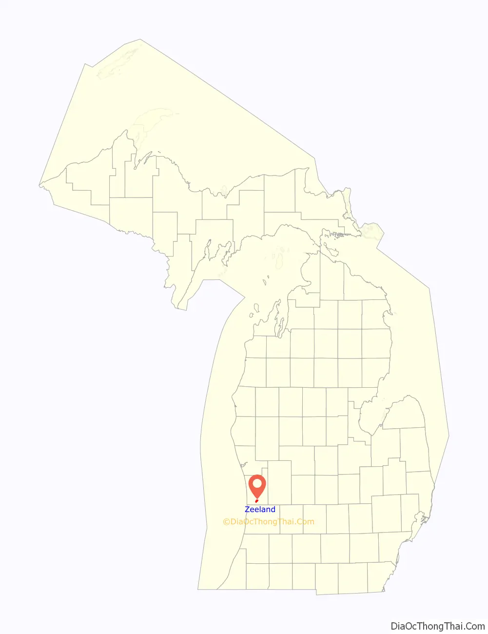
Online Interactive Map
Click on ![]() to view map in "full screen" mode.
to view map in "full screen" mode.
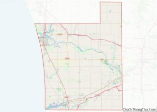
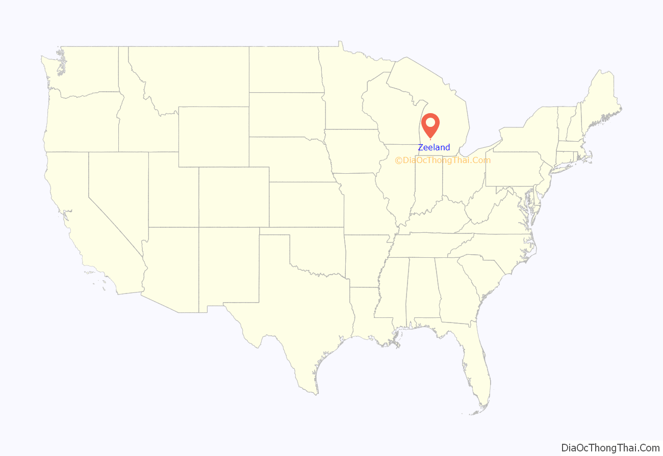
Zeeland location map. Where is Zeeland city?
History
In 1847, nearly 500 Dutch citizens sailed for America ostensibly to achieve religious freedom, although their decision to immigrate was probably also influenced by other factors, such as dire economic conditions in their home province of Zeeland, Netherlands and their opposition to modern scientific and social advances of the time.
The emigrants were led by James Van de Luyster, a wealthy landowner who sold his holdings in the Netherlands to advance money for the members to pay their debts and buy passage to America. Their settlement, some 16,000 acres (65 km) of land once occupied by the Odawa people, was named after their home province of Zeeland.
Van de Luyster arranged for three ships to sail for the United States. He came on the first ship, arriving on June 27, 1847. He was followed by the Steketee group on July 4, and Reverend Van Der Meulen’s group on August 1 of that year. The total number of settlers was 457.
The first building was a church. The town of Zeeland was platted in 1849, and the school district was organized the following year.
Within twenty-five years, Zeeland had acquired a sawmill, a wagon factory, blacksmith shops, grocery stores, and a post office.
The village officially became a city in 1907. There was a two-story brick kindergarten building, a two-story brick grade school, and a brick house building. The city also had four furniture factories, one large manufacturing plant, and several mills and smaller manufacturing industries.
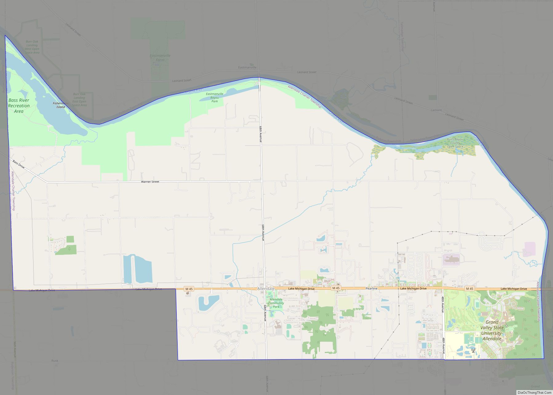
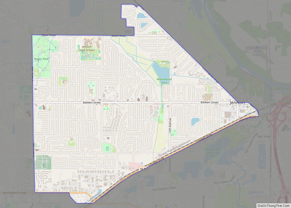
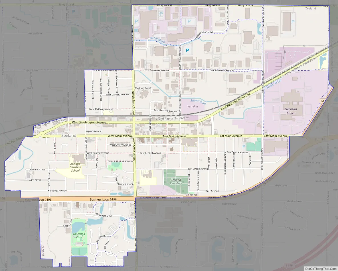
Zeeland Road Map
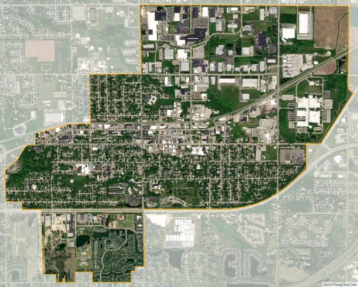
Zeeland city Satellite Map
Geography
According to the United States Census Bureau, the city has a total area of 3.01 square miles (7.80 km), of which 2.99 square miles (7.74 km) is land and 0.02 square miles (0.05 km) is water. The town itself is located on a hill, giving the city a higher elevation compared to the surrounding township land. Much of the outlying areas contain farmland and forest.
See also
Map of Michigan State and its subdivision:- Alcona
- Alger
- Allegan
- Alpena
- Antrim
- Arenac
- Baraga
- Barry
- Bay
- Benzie
- Berrien
- Branch
- Calhoun
- Cass
- Charlevoix
- Cheboygan
- Chippewa
- Clare
- Clinton
- Crawford
- Delta
- Dickinson
- Eaton
- Emmet
- Genesee
- Gladwin
- Gogebic
- Grand Traverse
- Gratiot
- Hillsdale
- Houghton
- Huron
- Ingham
- Ionia
- Iosco
- Iron
- Isabella
- Jackson
- Kalamazoo
- Kalkaska
- Kent
- Keweenaw
- Lake
- Lake Hurron
- Lake Michigan
- Lake St. Clair
- Lake Superior
- Lapeer
- Leelanau
- Lenawee
- Livingston
- Luce
- Mackinac
- Macomb
- Manistee
- Marquette
- Mason
- Mecosta
- Menominee
- Midland
- Missaukee
- Monroe
- Montcalm
- Montmorency
- Muskegon
- Newaygo
- Oakland
- Oceana
- Ogemaw
- Ontonagon
- Osceola
- Oscoda
- Otsego
- Ottawa
- Presque Isle
- Roscommon
- Saginaw
- Saint Clair
- Saint Joseph
- Sanilac
- Schoolcraft
- Shiawassee
- Tuscola
- Van Buren
- Washtenaw
- Wayne
- Wexford
- Alabama
- Alaska
- Arizona
- Arkansas
- California
- Colorado
- Connecticut
- Delaware
- District of Columbia
- Florida
- Georgia
- Hawaii
- Idaho
- Illinois
- Indiana
- Iowa
- Kansas
- Kentucky
- Louisiana
- Maine
- Maryland
- Massachusetts
- Michigan
- Minnesota
- Mississippi
- Missouri
- Montana
- Nebraska
- Nevada
- New Hampshire
- New Jersey
- New Mexico
- New York
- North Carolina
- North Dakota
- Ohio
- Oklahoma
- Oregon
- Pennsylvania
- Rhode Island
- South Carolina
- South Dakota
- Tennessee
- Texas
- Utah
- Vermont
- Virginia
- Washington
- West Virginia
- Wisconsin
- Wyoming