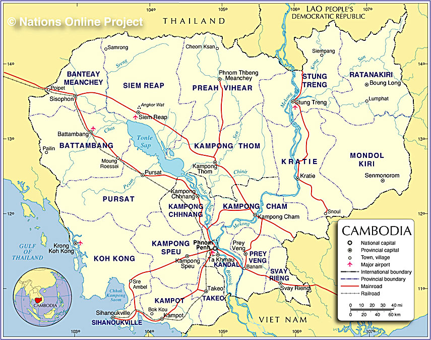
Cambodia occupies an area of 181,035 sq. km in mainland Southeast Asia.
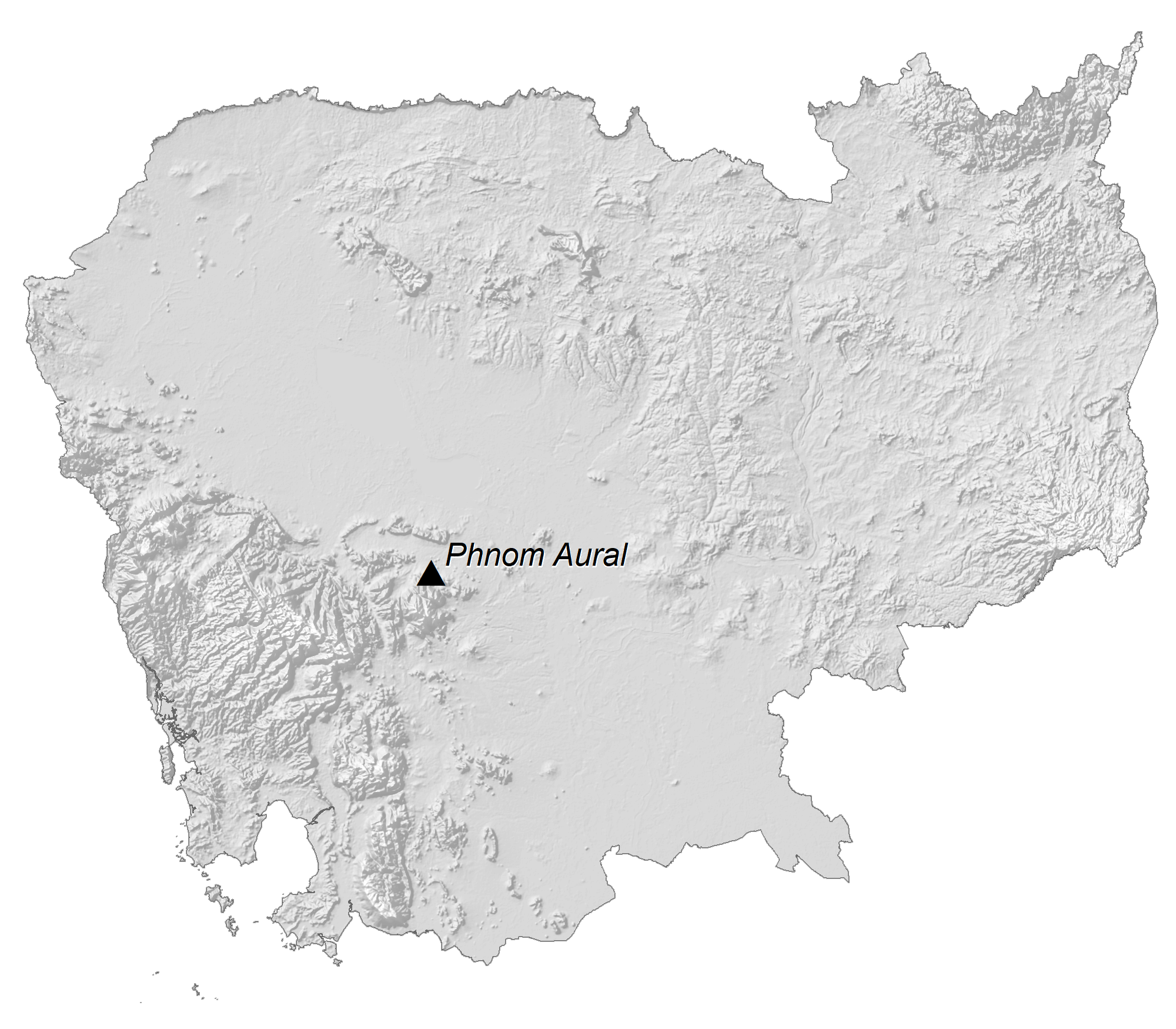
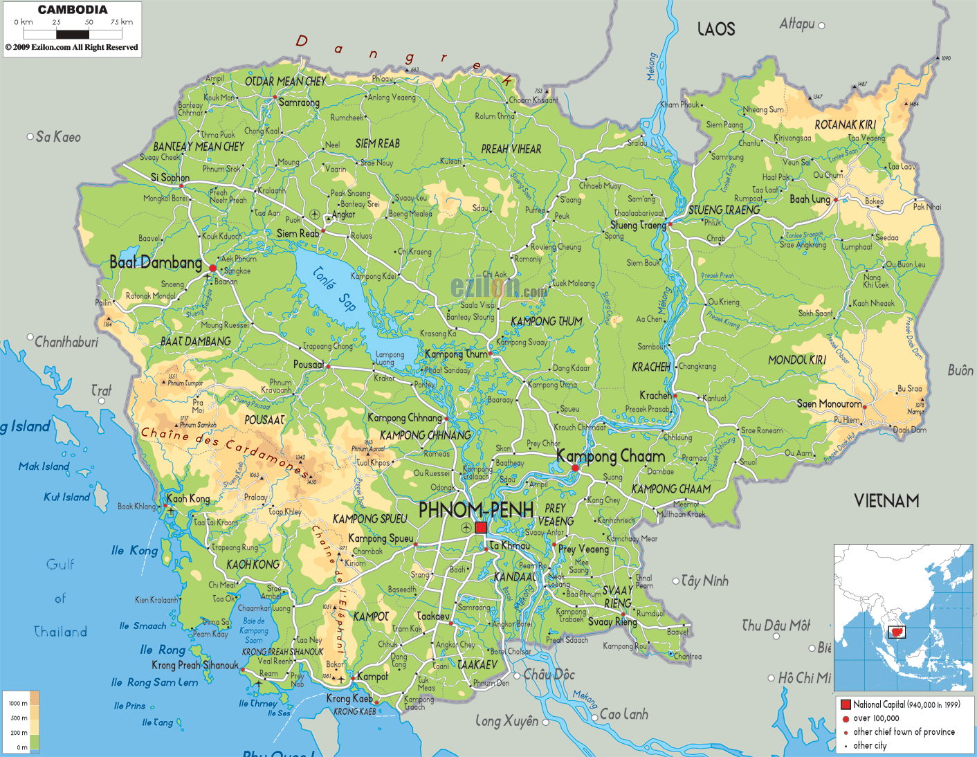
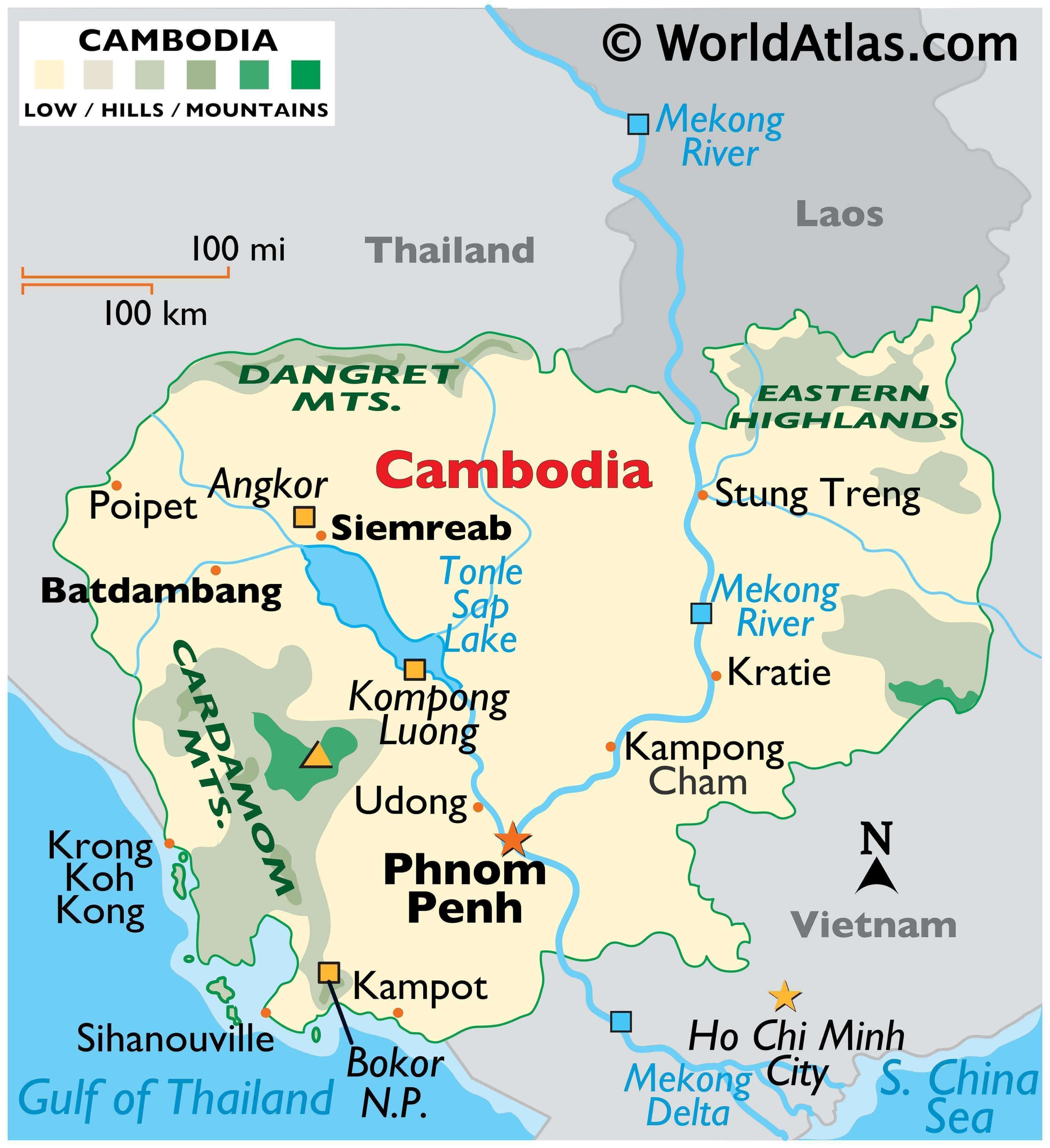
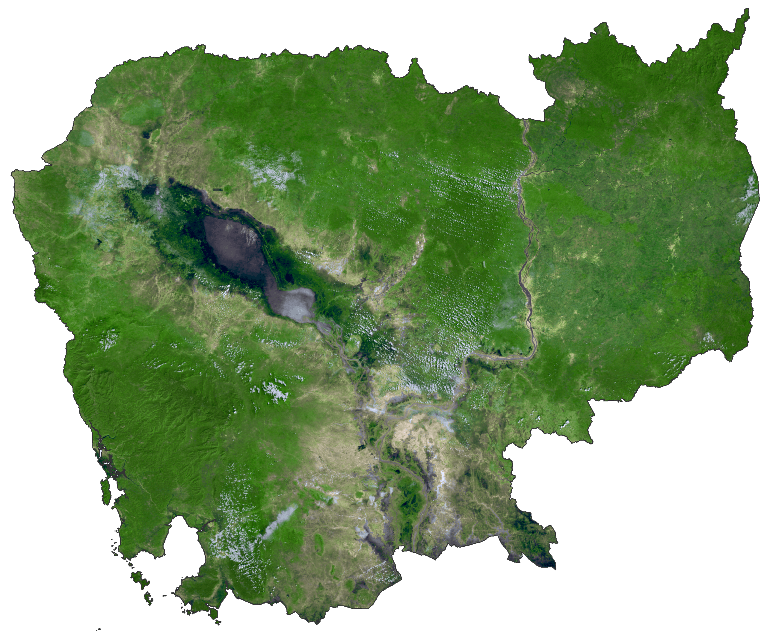
As observed on the physical map above, Cambodia is primarily a low-lying country with the Central Plain occupying an extensive part of its area. The plain features the basin of the Tonle Sap Lake, the Bassac River plain, and the flood-plains of the lowest Mekong River.
The Tonlé Sap Lake is a large lake that is connected to the Mekong River by the 120 km long Tonlé Sap River.
Mountains and highlands are found around the Central Plain region. As observed on the map, the Cardamom Mountains are found to the west and southwest, Dangret Mountains and the Eastern Highlands occur to the north and northeast respectively.
Cambodia also features a 443 km long coast along the Gulf of Thailand to the south and south-west. Over 50 islands are located off the coast of Cambodia.
The highest point in Cambodia (marked by a yellow upright triangle on the map) is the 1,810 m (5,938 ft) high Phnom Aural. The Gulf of Cambodia is the lowest point at 0 m.
| Flag: |  |
|---|---|
| Legal Name: | Kingdom of Cambodia |
| Capital Value: | Phnom Penh |
| Largest City: |
Phnum Pénh (Phnom Penh) (2,077,757) |
| Demonym(s): |
|
| Government: | Unitary dominant-party parliamentary elective constitutional monarchy |
| Legislature: | Parliament |
| Total Area: | 181,035 km² |
| Land Area: | 176,515 km² |
| Water Area: | 4,520 km² |
| Population: | 16,486,542 |
| Density: | 87/km (225.3/sq mi) |
| GDP: | $27.09 Billion |
| GDP Per Capita: | $1,643.12 |
| Currency Value: | Riels (KHR) |
| Driving side: | right |
| Calling code: | +855 |
| Internet TLD: | .kh |
Explore the Beauty of Cambodia with this Interactive Map
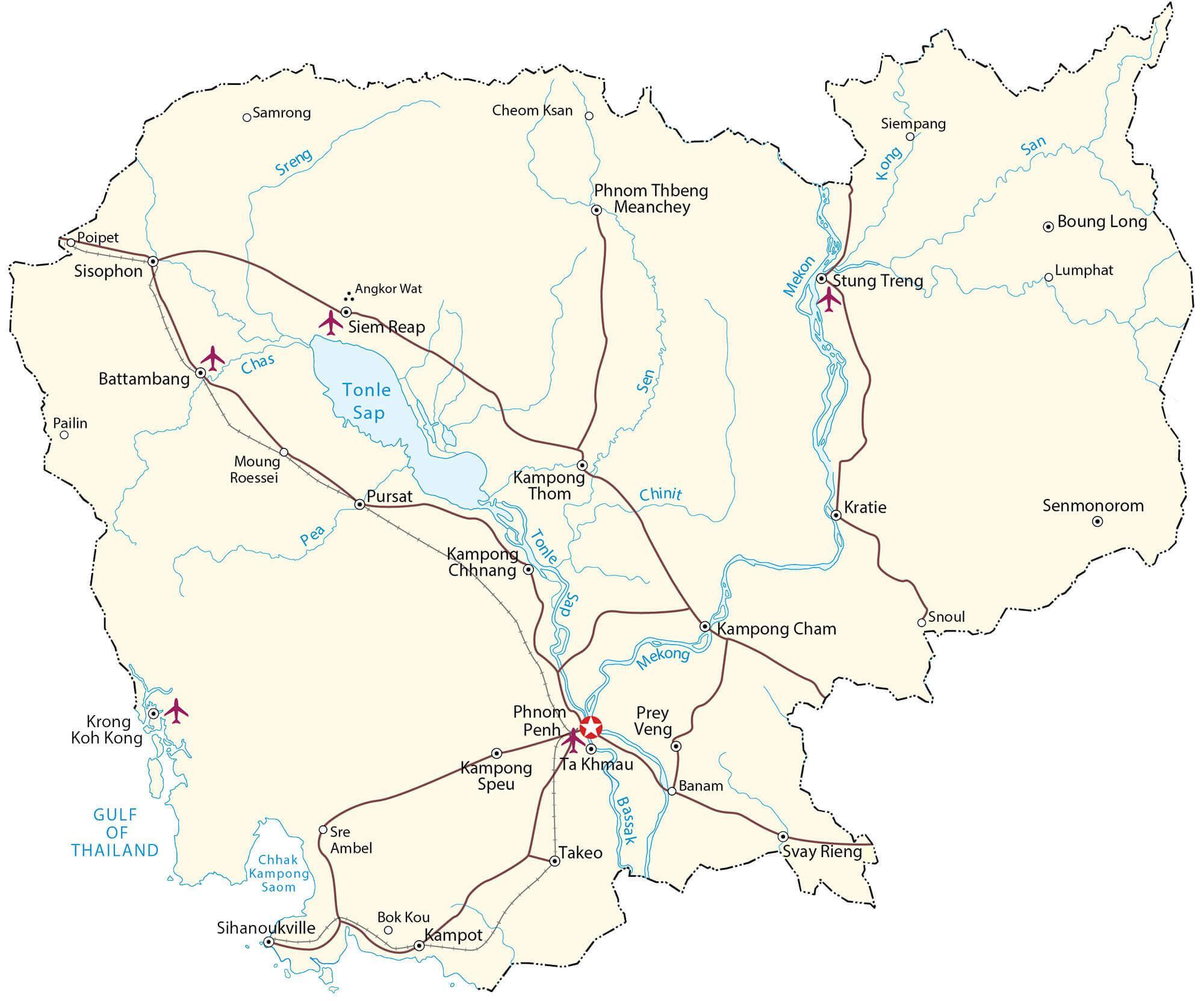
Cambodia is a beautiful country of Southeast Asia, full of vibrant cities, historical sites, and natural wonders. Now you can explore the breadth of the country with this interactive map. It displays major cities, towns, roads, rivers, and lakes, as well as an elevation map and satellite imagery to view the topography of the Cardamom Mountains. Discover the beauty of Cambodia and find your way around with this helpful guide.
Online Interactive Political Map
Click on ![]() to view map in "full screen" mode.
to view map in "full screen" mode.
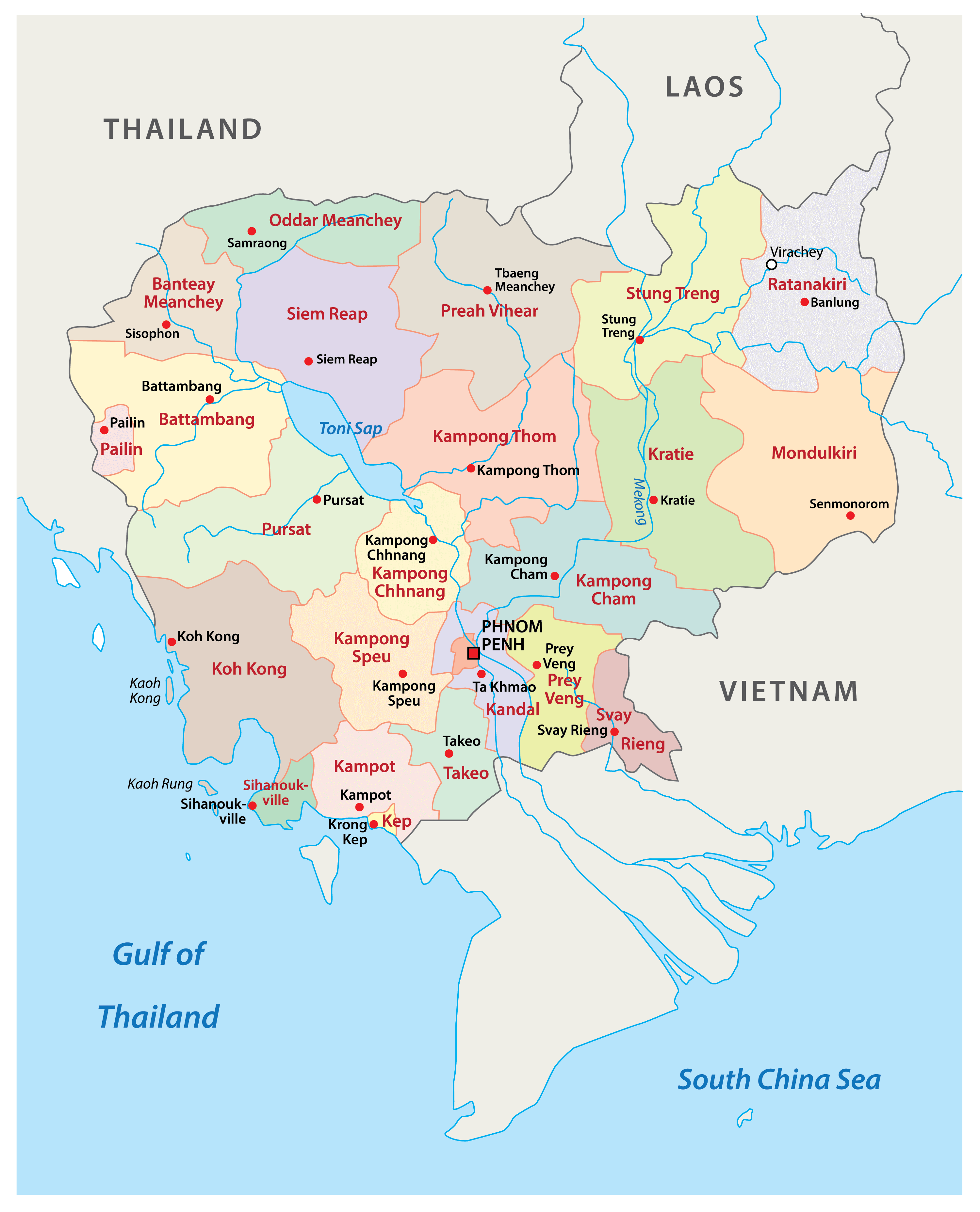
Cambodia (officially, Kingdom of Cambodia) is divided into 21 provinces (khett) and 1 autonomous municipality (krong). In alphabetical order, the provinces are: Banteay Meanchey, Battambang, Kampong Cham, Kampong Chhnang, Kampong Speu, Kampong Thom, Kampot, Kandal, Kep, Koh Kong, Kratie, Modol Kiri, Oddar Meanchey, Pailin, Preah Sihanouk, Preah Vihear, Prey Veng, Pursat, Ratanakiri, Siem Reap, Stung Treng, Svay Rieng, Takeo, Tbong Khmum. Phnom Penh is an autonomous municipality. These provinces are subdivided into 159 districts, 26 municipalities and further into smaller subdivisions.
With an area of 14,288 sq. km, Modol Kiri is the largest province by area and Phnom Penh is the most populous administrative division.
Located in south-central part of the country is Phnom Penh – the capital, the largest and the most populous city of Cambodia. Phnom Penh is also the country’s administrative, cultural, commercial and economic center.
Location Maps
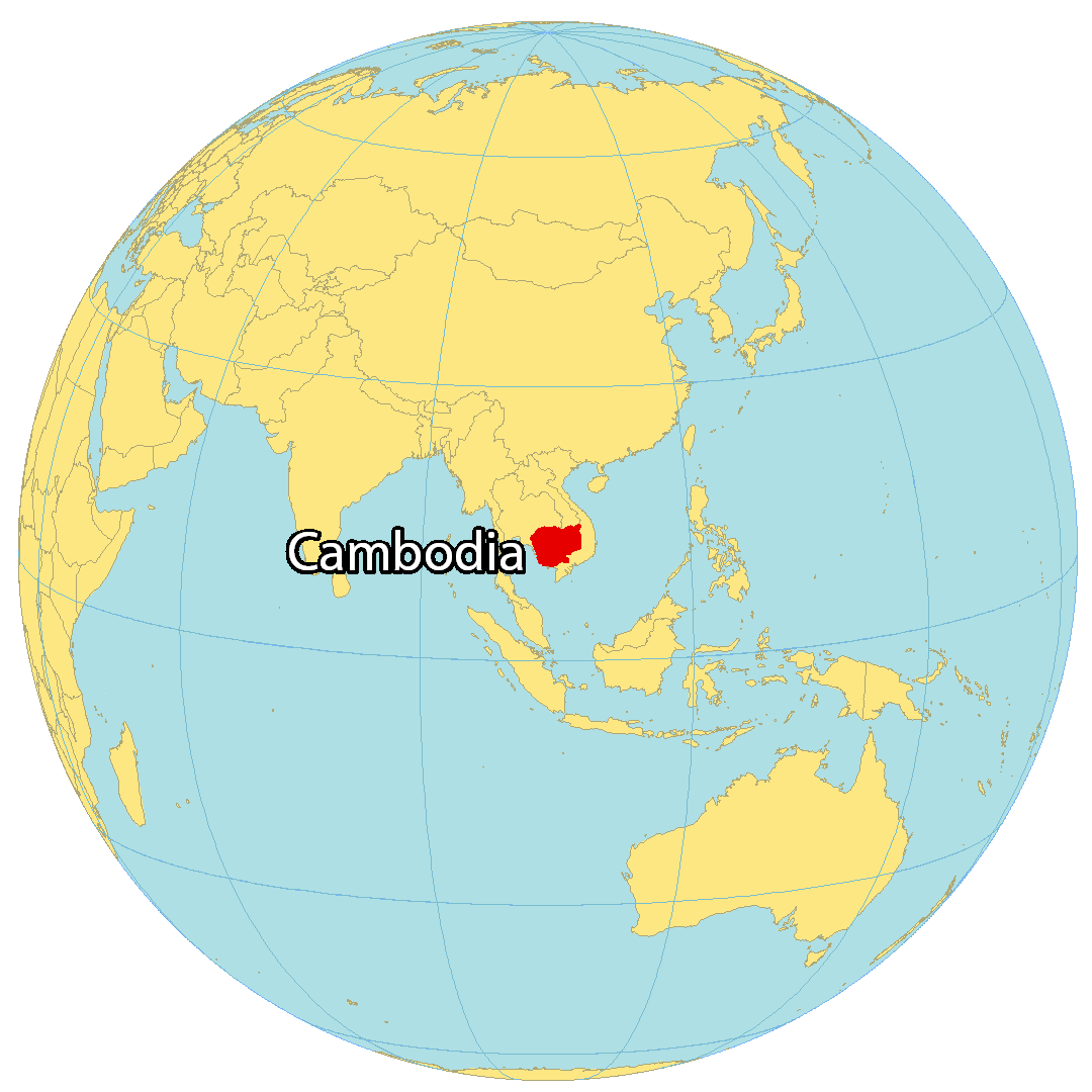
Where is Cambodia?
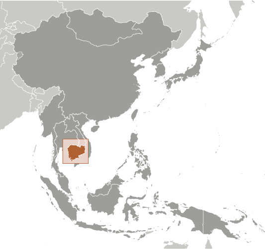
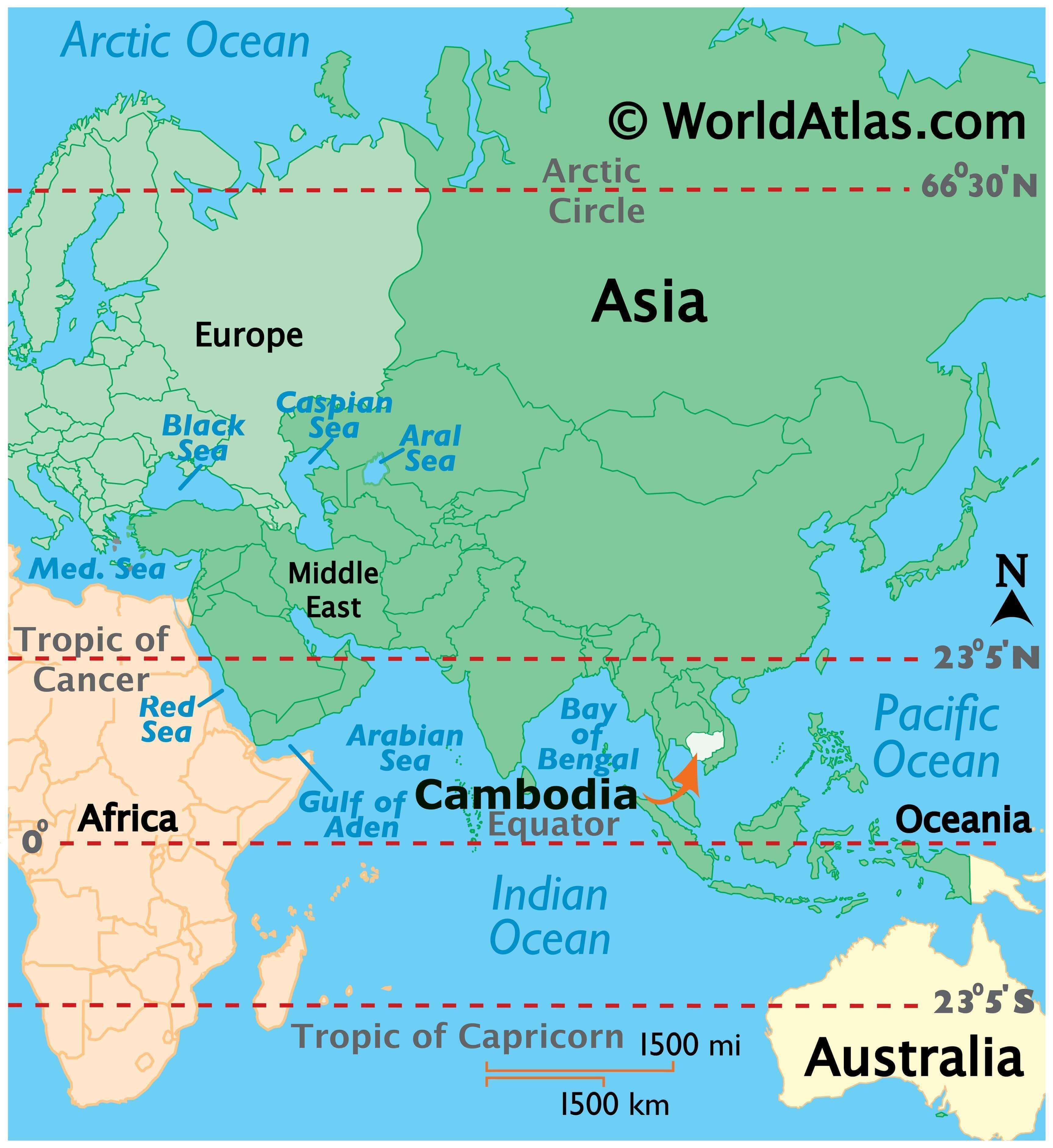
Cambodia is situated in Southeast Asia, sharing borders with Vietnam and Thailand. It is bordered by Vietnam to the south, east and northeast and Thailand to the north. The coastline of Cambodia is indented by the Gulf of Thailand, with a length of about 443 km (275 mi).
Cambodia is a country of great historical and cultural significance, boasting over 4,000 temples and monuments throughout the country, the most famous of which is Angkor Wat, the largest religious monument in the world. The country’s capital and largest city, Phnom Penh, is also its economic, industrial, and cultural center.
High Definition Political Map of Cambodia

Physical Map of Cambodia
Cambodia Satellite Map
Elevation Map