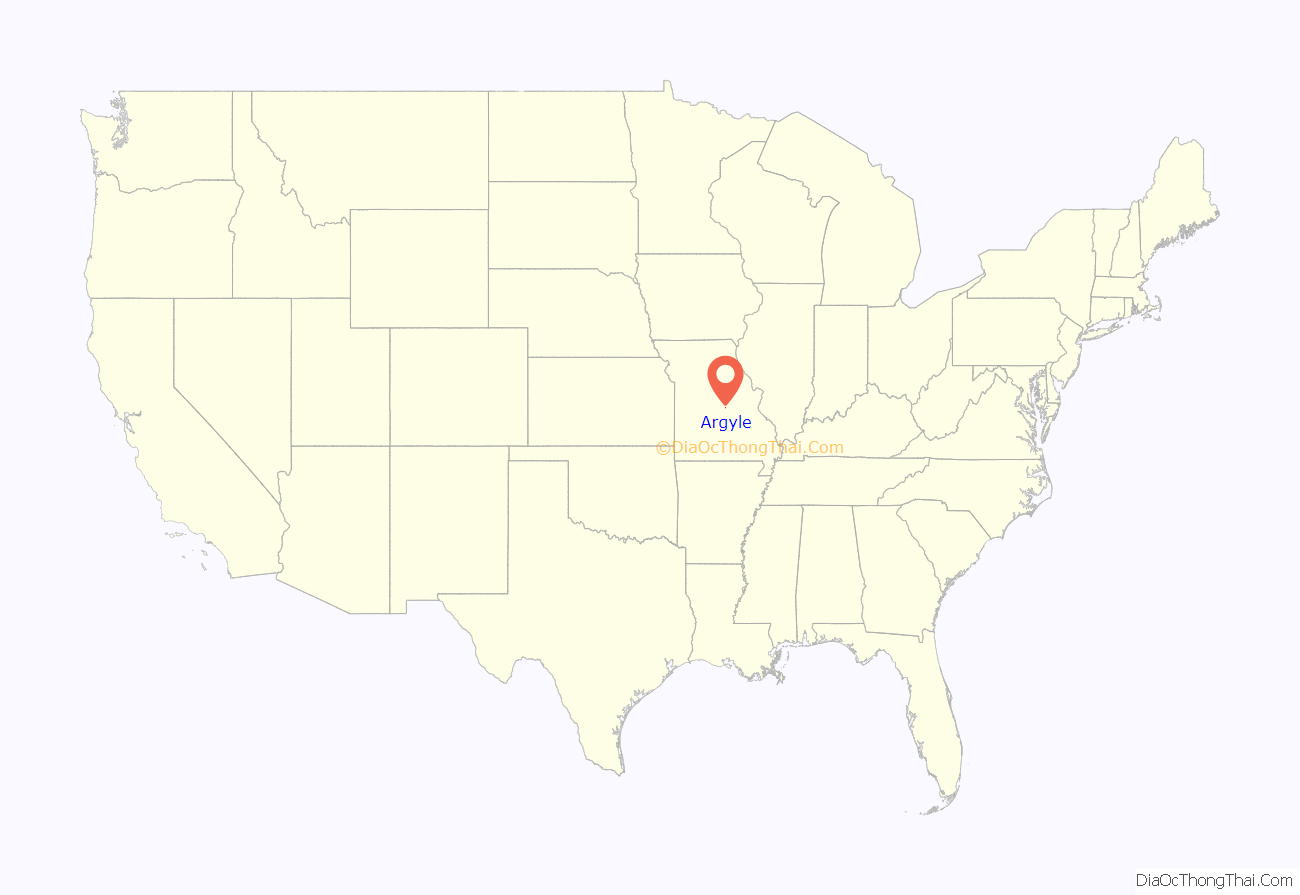
Argyle is a town in Maries and Osage counties in the U.S. state of Missouri. The population was 144 at the 2020 census.
The Osage County part of Argyle is part of the Jefferson City, Missouri Metropolitan Statistical Area.
| Name: | Argyle town |
|---|---|
| LSAD Code: | 43 |
| LSAD Description: | town (suffix) |
| State: | Missouri |
| County: | Maries County, Osage County |
| Incorporated: | 1904 |
| Elevation: | 745 ft (227 m) |
| Total Area: | 0.40 sq mi (1.04 km²) |
| Land Area: | 0.40 sq mi (1.04 km²) |
| Water Area: | 0.00 sq mi (0.00 km²) |
| Total Population: | 144 |
| Population Density: | 357.32/sq mi (138.10/km²) |
| ZIP code: | 65001 |
| Area code: | 573 |
| FIPS code: | 2901828 |
| GNISfeature ID: | 2397437 |
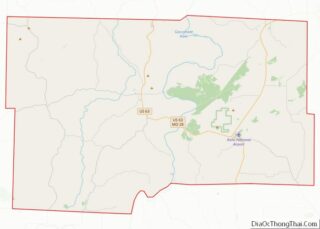
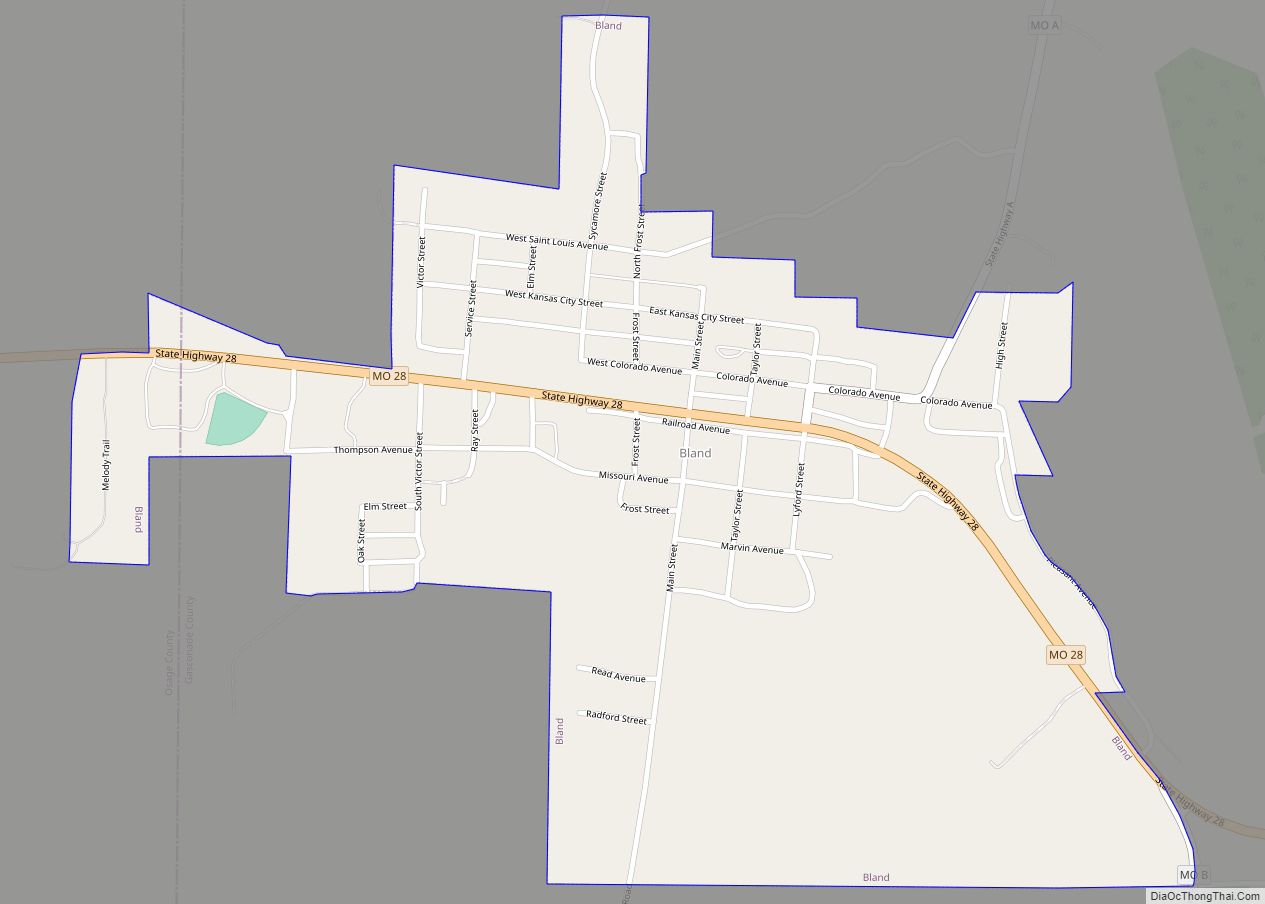
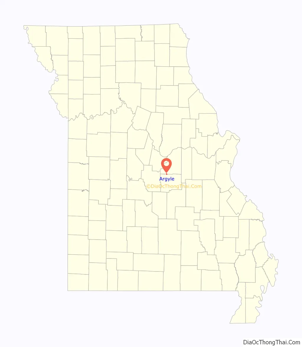
Online Interactive Map
Click on ![]() to view map in "full screen" mode.
to view map in "full screen" mode.
Argyle location map. Where is Argyle town?
History
A post office called Argyle has been in operation since 1904. Argyle was named after the region of Argyll, in Scotland. A variant name was “Campbell’s Switch”.
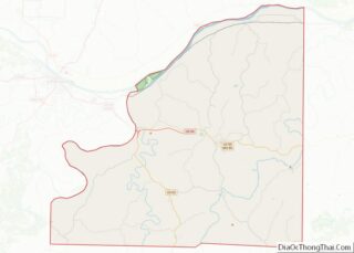
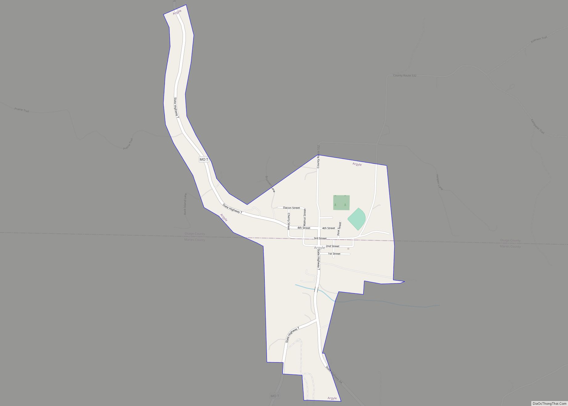
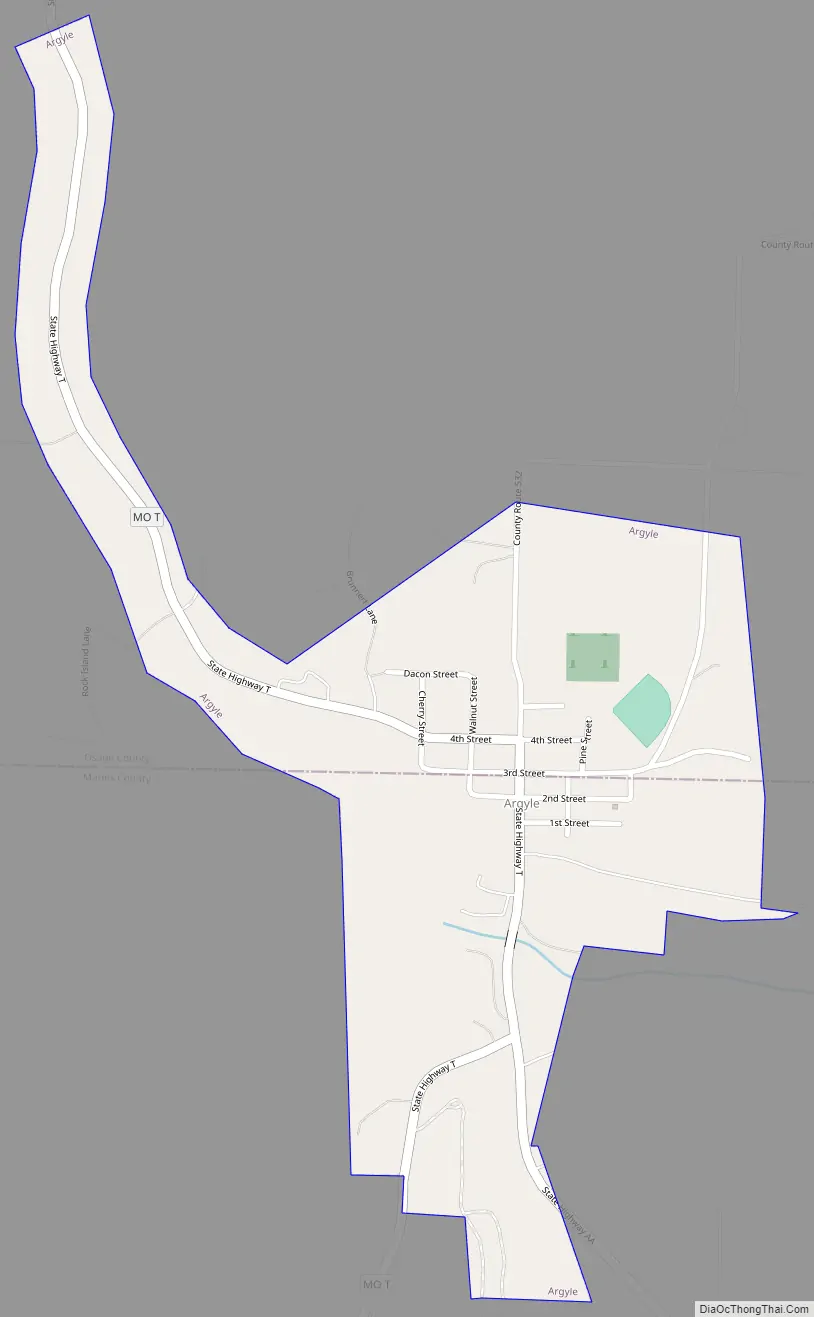
Argyle Road Map
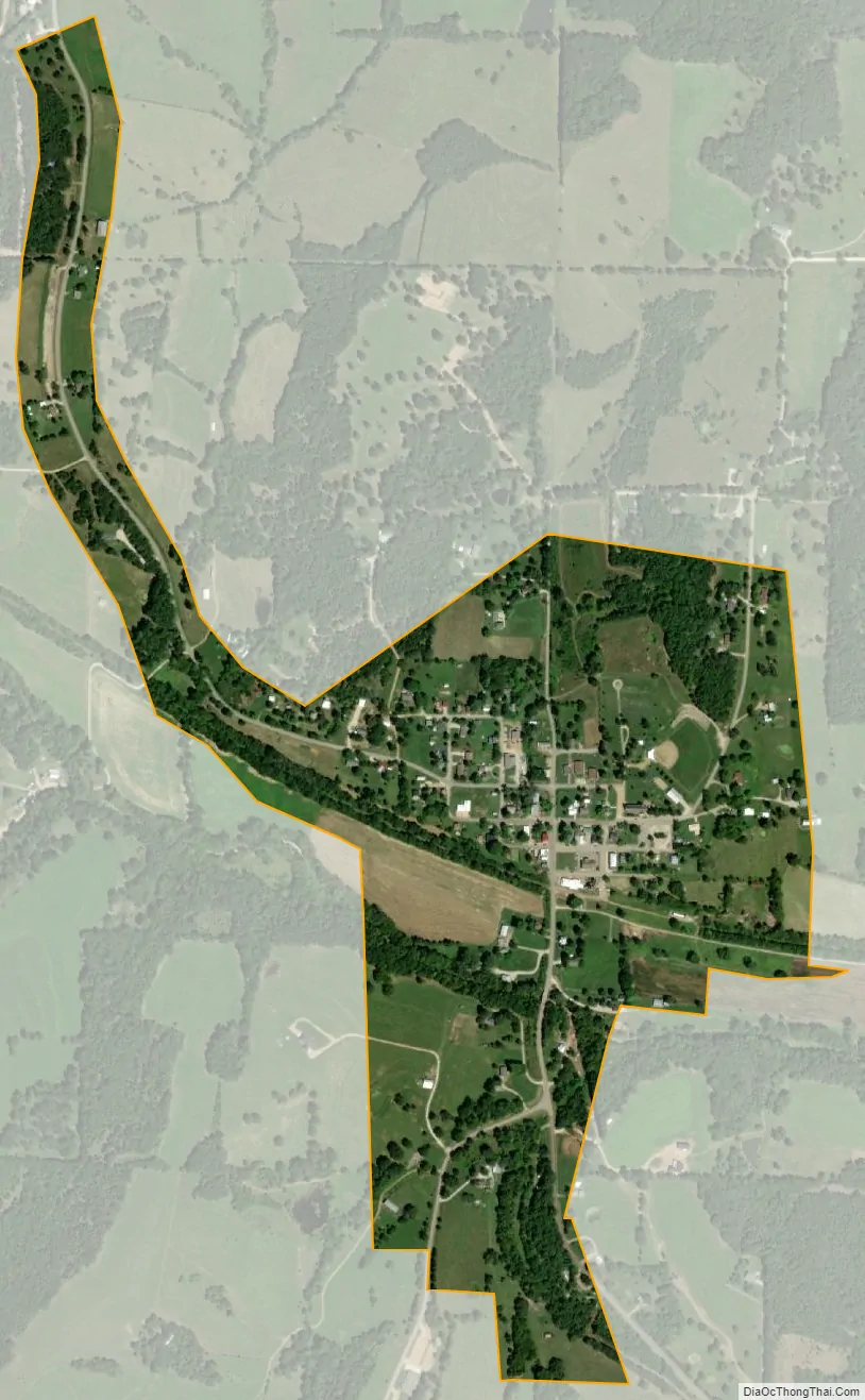
Argyle city Satellite Map
Geography
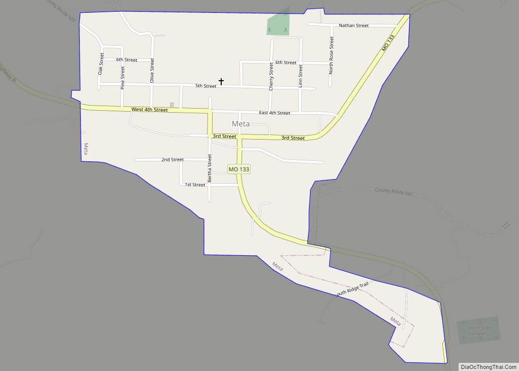
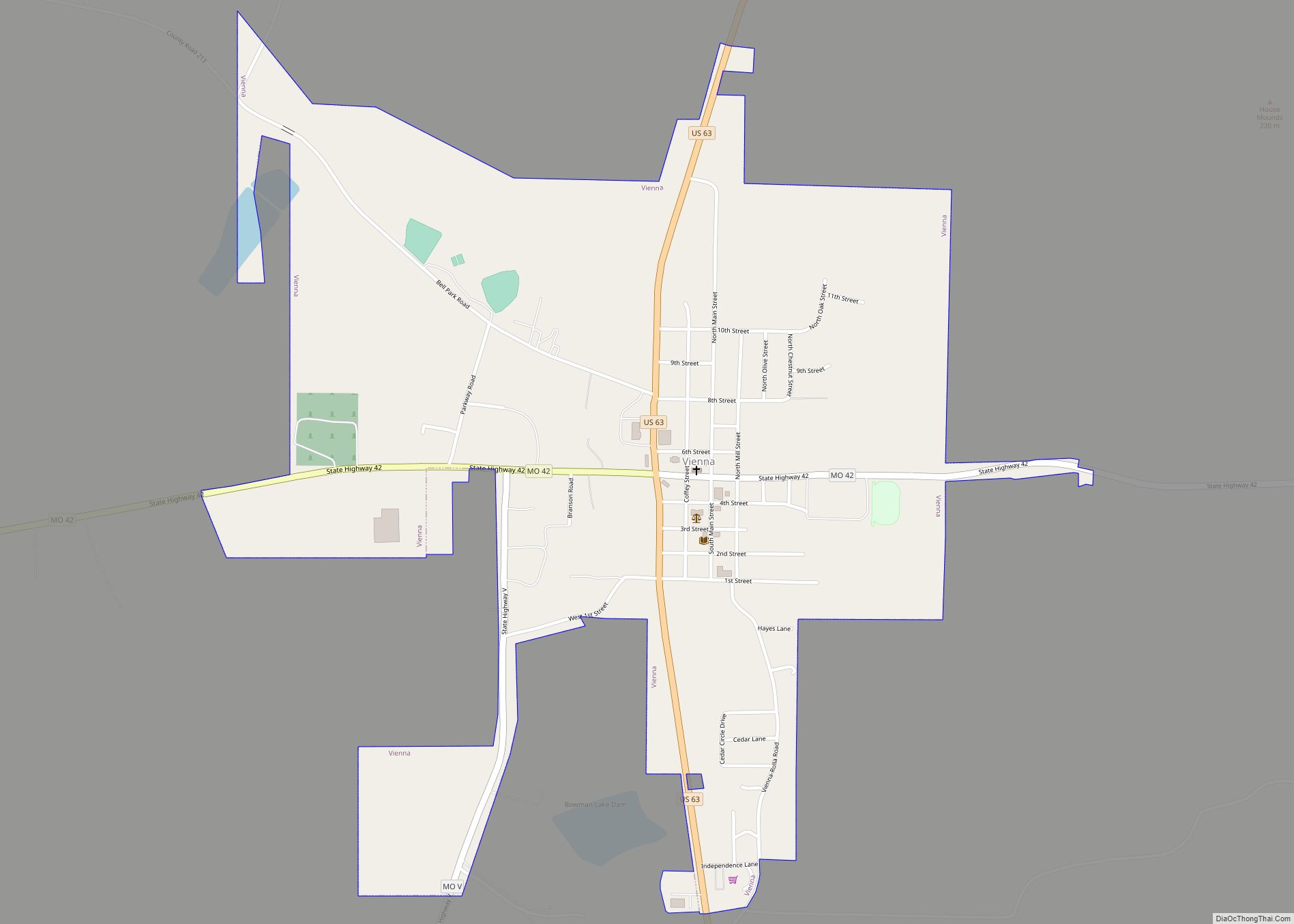
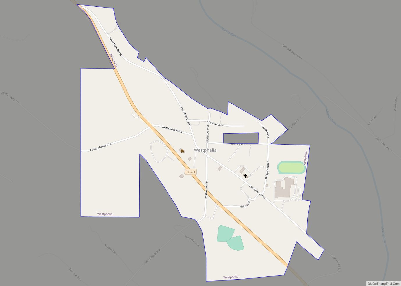
Argyle is located in southern Osage County, within one-half mile of the Osage-Maries county line. A small area extends south of the county line into Maries County along Missouri routes T and AA. Argyle is on the north side of Loose Creek, approximately 1.5 miles east of the Maries River. It is on Missouri Route T and Koeltztown lies about two miles to the north. Vienna is about eight miles to the southeast in Maries County.
According to the United States Census Bureau, the village has a total area of 0.40 square miles (1.04 km), all land.
See also
Map of Missouri State and its subdivision:- Adair
- Andrew
- Atchison
- Audrain
- Barry
- Barton
- Bates
- Benton
- Bollinger
- Boone
- Buchanan
- Butler
- Caldwell
- Callaway
- Camden
- Cape Girardeau
- Carroll
- Carter
- Cass
- Cedar
- Chariton
- Christian
- Clark
- Clay
- Clinton
- Cole
- Cooper
- Crawford
- Dade
- Dallas
- Daviess
- De Kalb
- Dent
- Douglas
- Dunklin
- Franklin
- Gasconade
- Gentry
- Greene
- Grundy
- Harrison
- Henry
- Hickory
- Holt
- Howard
- Howell
- Iron
- Jackson
- Jasper
- Jefferson
- Johnson
- Knox
- Laclede
- Lafayette
- Lawrence
- Lewis
- Lincoln
- Linn
- Livingston
- Macon
- Madison
- Maries
- Marion
- McDonald
- Mercer
- Miller
- Mississippi
- Moniteau
- Monroe
- Montgomery
- Morgan
- New Madrid
- Newton
- Nodaway
- Oregon
- Osage
- Ozark
- Pemiscot
- Perry
- Pettis
- Phelps
- Pike
- Platte
- Polk
- Pulaski
- Putnam
- Ralls
- Randolph
- Ray
- Reynolds
- Ripley
- Saint Charles
- Saint Clair
- Saint Francois
- Saint Louis
- Sainte Genevieve
- Saline
- Schuyler
- Scotland
- Scott
- Shannon
- Shelby
- Stoddard
- Stone
- Sullivan
- Taney
- Texas
- Vernon
- Warren
- Washington
- Wayne
- Webster
- Worth
- Wright
- Alabama
- Alaska
- Arizona
- Arkansas
- California
- Colorado
- Connecticut
- Delaware
- District of Columbia
- Florida
- Georgia
- Hawaii
- Idaho
- Illinois
- Indiana
- Iowa
- Kansas
- Kentucky
- Louisiana
- Maine
- Maryland
- Massachusetts
- Michigan
- Minnesota
- Mississippi
- Missouri
- Montana
- Nebraska
- Nevada
- New Hampshire
- New Jersey
- New Mexico
- New York
- North Carolina
- North Dakota
- Ohio
- Oklahoma
- Oregon
- Pennsylvania
- Rhode Island
- South Carolina
- South Dakota
- Tennessee
- Texas
- Utah
- Vermont
- Virginia
- Washington
- West Virginia
- Wisconsin
- Wyoming