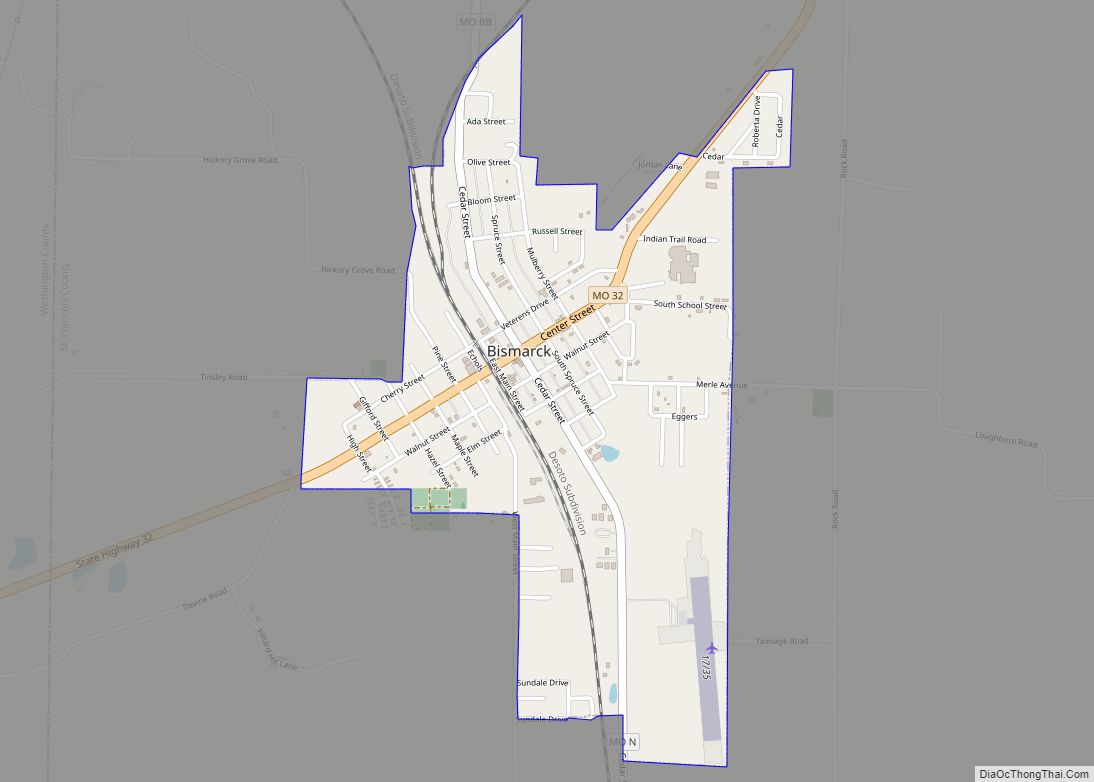
Bismarck is a city in St. Francois County, Missouri, United States. The population was 1,546 as of the 2010 census.
| Name: | Bismarck city |
|---|---|
| LSAD Code: | 25 |
| LSAD Description: | city (suffix) |
| State: | Missouri |
| County: | St. Francois County |
| Incorporated: | 1877 |
| Elevation: | 1,030 ft (310 m) |
| Total Area: | 1.00 sq mi (2.58 km²) |
| Land Area: | 1.00 sq mi (2.58 km²) |
| Water Area: | 0.00 sq mi (0.00 km²) |
| Total Population: | 1,239 |
| Population Density: | 1,243.98/sq mi (480.39/km²) |
| Area code: | 573 |
| FIPS code: | 2905878 |
| GNISfeature ID: | 2394176 |
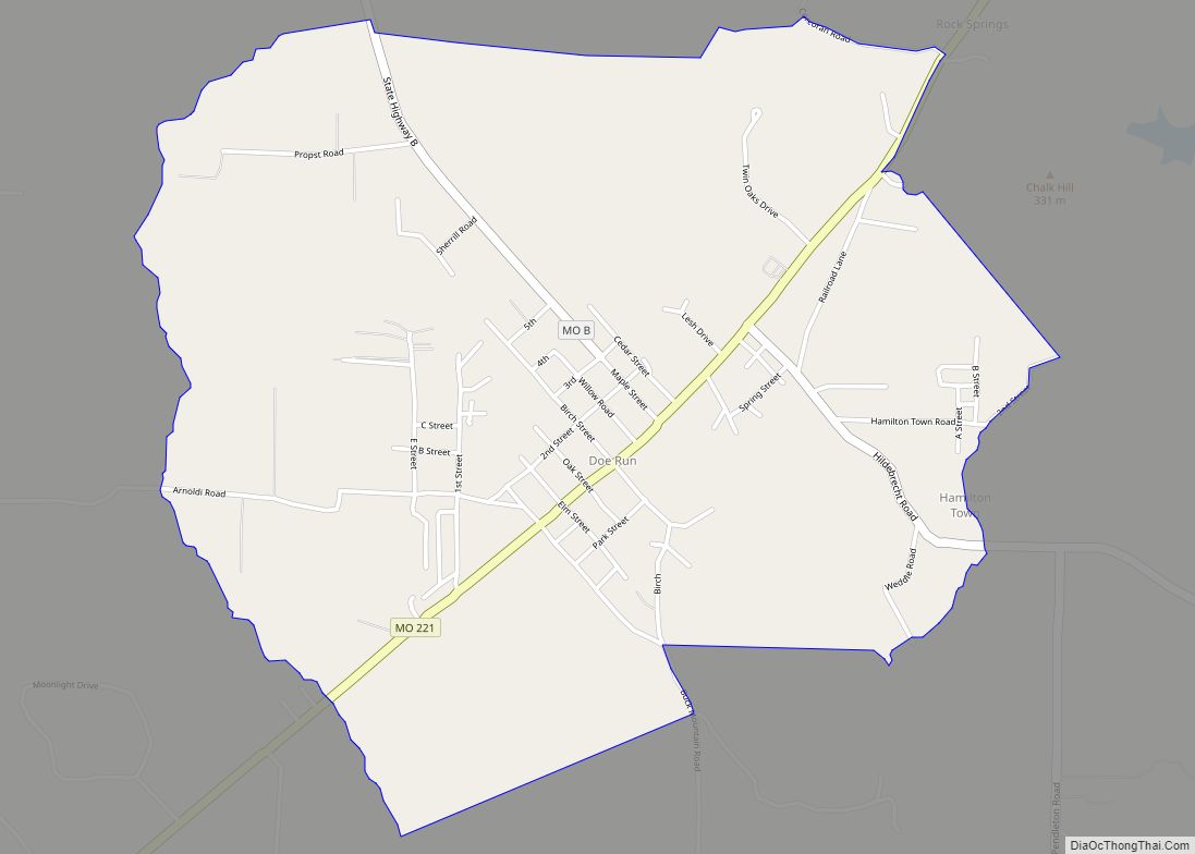
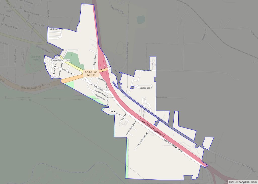
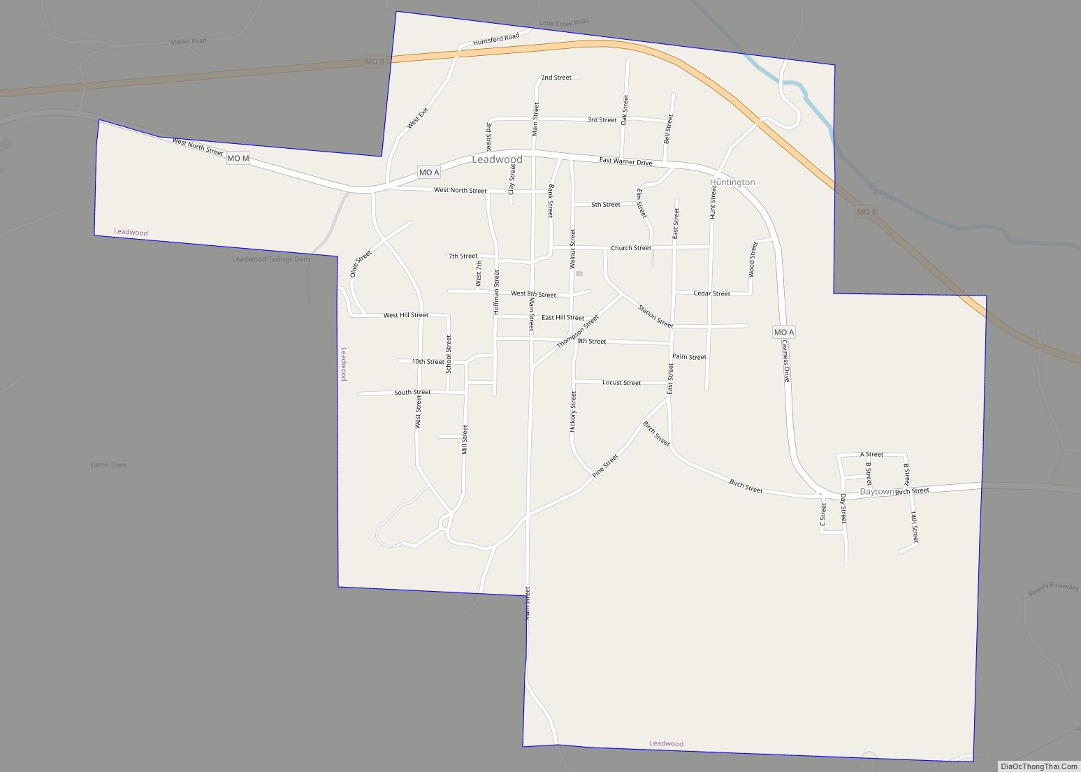
Online Interactive Map
Click on ![]() to view map in "full screen" mode.
to view map in "full screen" mode.
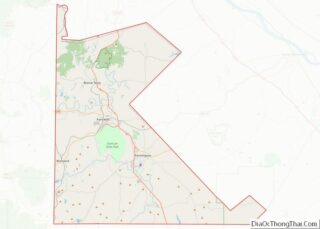
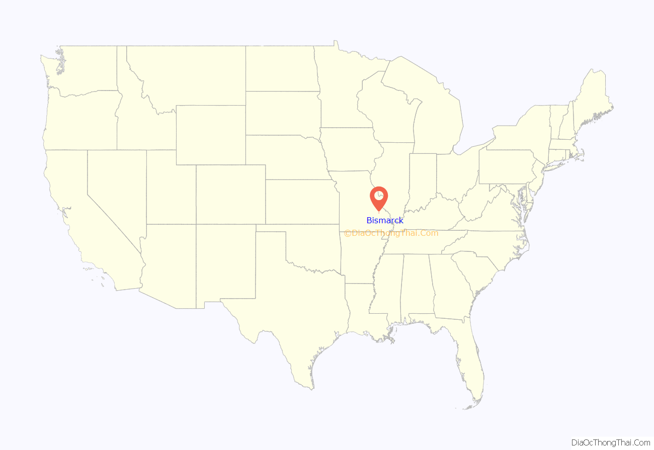
Bismarck location map. Where is Bismarck city?
History
Bismarck, situated in the western part of St. Francois County, owes its origin and early growth to the farming interests about it and its location at the intersection of the Belmont branch with the main line of the St. Louis, Iron Mountain and Southern Railway. Bismarck was first laid out and platted in 1868. It was named after the Iron Chancellor of Germany, Prince Otto Eduard Leopold von Bismarck, as there was a strong desire to attract German immigrants to the growing railroad area.
The railroad ran through the town from the northwest to the southeast. All of the original streets of Bismarck, with the exception of Main and Center, were named after trees.
In 1877, Bismarck was incorporated as a town by the County Court and the first trustees were William H. Gullivan, Benjamin Schoch, C. C. Grider, George H. Kelly and A. H. Tegmeyer. In the year 1881, this incorporation was abolished. Since that time, Bismarck has been reincorporated. According to folklorist Margot Ford McMillen the name of the town caused some difficult times for residents following America’s entry into World War I. With patriotism running high, a town named for a famous German leader was seen as “un-American”, and prompted some citizens to advocate changing the name to “Loyal”. However the majority of residents soundly rejected the idea.
The population about 1910 was 848. It is now 1,579.
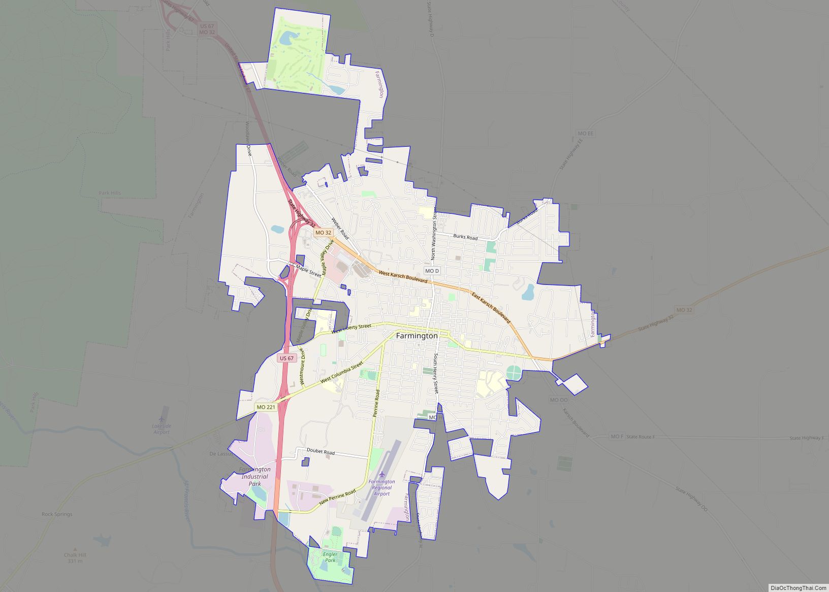
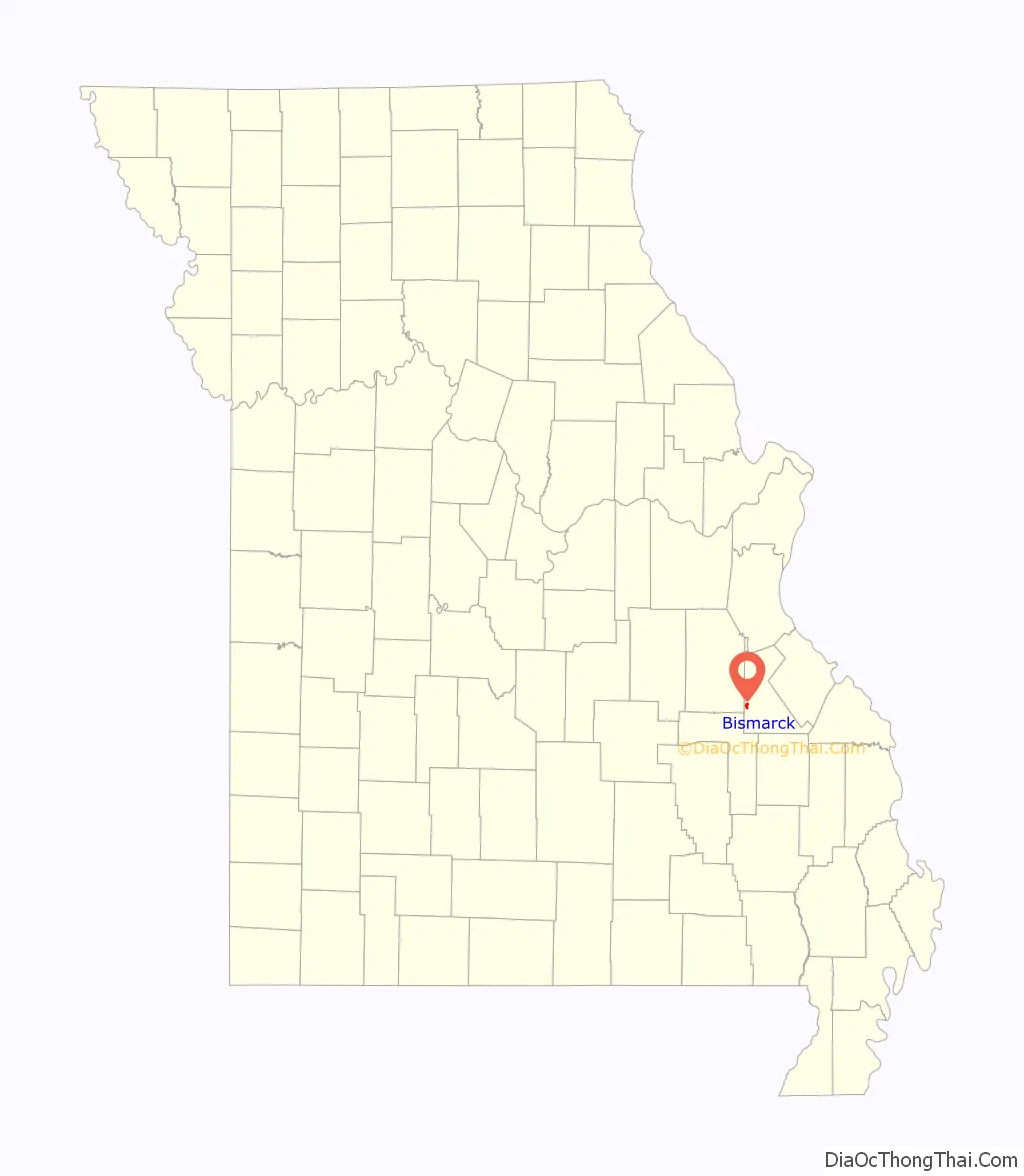
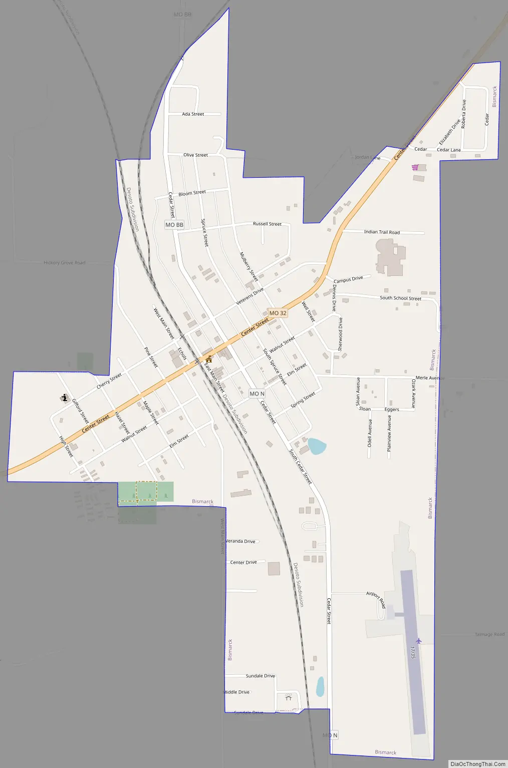
Bismarck Road Map
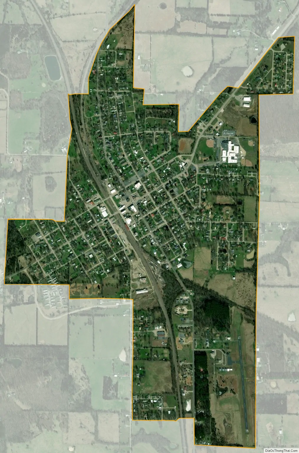
Bismarck city Satellite Map
Geography
According to the United States Census Bureau, the city has a total area of 1.00 square mile (2.59 km), all land.
See also
Map of Missouri State and its subdivision:- Adair
- Andrew
- Atchison
- Audrain
- Barry
- Barton
- Bates
- Benton
- Bollinger
- Boone
- Buchanan
- Butler
- Caldwell
- Callaway
- Camden
- Cape Girardeau
- Carroll
- Carter
- Cass
- Cedar
- Chariton
- Christian
- Clark
- Clay
- Clinton
- Cole
- Cooper
- Crawford
- Dade
- Dallas
- Daviess
- De Kalb
- Dent
- Douglas
- Dunklin
- Franklin
- Gasconade
- Gentry
- Greene
- Grundy
- Harrison
- Henry
- Hickory
- Holt
- Howard
- Howell
- Iron
- Jackson
- Jasper
- Jefferson
- Johnson
- Knox
- Laclede
- Lafayette
- Lawrence
- Lewis
- Lincoln
- Linn
- Livingston
- Macon
- Madison
- Maries
- Marion
- McDonald
- Mercer
- Miller
- Mississippi
- Moniteau
- Monroe
- Montgomery
- Morgan
- New Madrid
- Newton
- Nodaway
- Oregon
- Osage
- Ozark
- Pemiscot
- Perry
- Pettis
- Phelps
- Pike
- Platte
- Polk
- Pulaski
- Putnam
- Ralls
- Randolph
- Ray
- Reynolds
- Ripley
- Saint Charles
- Saint Clair
- Saint Francois
- Saint Louis
- Sainte Genevieve
- Saline
- Schuyler
- Scotland
- Scott
- Shannon
- Shelby
- Stoddard
- Stone
- Sullivan
- Taney
- Texas
- Vernon
- Warren
- Washington
- Wayne
- Webster
- Worth
- Wright
- Alabama
- Alaska
- Arizona
- Arkansas
- California
- Colorado
- Connecticut
- Delaware
- District of Columbia
- Florida
- Georgia
- Hawaii
- Idaho
- Illinois
- Indiana
- Iowa
- Kansas
- Kentucky
- Louisiana
- Maine
- Maryland
- Massachusetts
- Michigan
- Minnesota
- Mississippi
- Missouri
- Montana
- Nebraska
- Nevada
- New Hampshire
- New Jersey
- New Mexico
- New York
- North Carolina
- North Dakota
- Ohio
- Oklahoma
- Oregon
- Pennsylvania
- Rhode Island
- South Carolina
- South Dakota
- Tennessee
- Texas
- Utah
- Vermont
- Virginia
- Washington
- West Virginia
- Wisconsin
- Wyoming