Cainsville is a city in eastern Harrison County, Missouri, United States. The population was 283 at the 2020 census.
| Name: | Cainsville city |
|---|---|
| LSAD Code: | 25 |
| LSAD Description: | city (suffix) |
| State: | Missouri |
| County: | Harrison County |
| Elevation: | 869 ft (265 m) |
| Total Area: | 1.37 sq mi (3.55 km²) |
| Land Area: | 1.37 sq mi (3.55 km²) |
| Water Area: | 0.00 sq mi (0.00 km²) |
| Total Population: | 283 |
| Population Density: | 206.42/sq mi (79.69/km²) |
| ZIP code: | 64632 |
| Area code: | 660 |
| FIPS code: | 2910342 |
| GNISfeature ID: | 2393490 |
| Website: | www.cainsville.com |
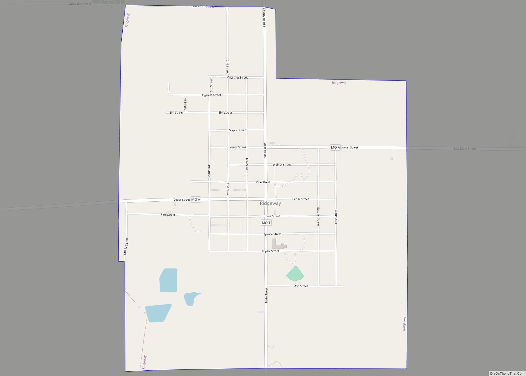
Online Interactive Map
Click on ![]() to view map in "full screen" mode.
to view map in "full screen" mode.
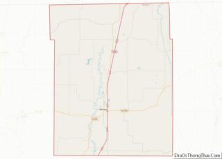
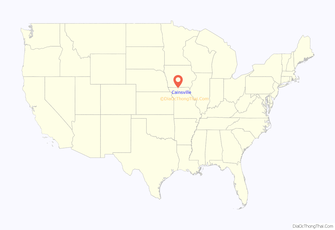
Cainsville location map. Where is Cainsville city?
History
Cainsville had its start in 1854 when Peter Cain built a watermill on the site. As more workers arrived, a post office, blacksmith shop and trading post were necessarily started up, so that by 1858, a small town had developed.
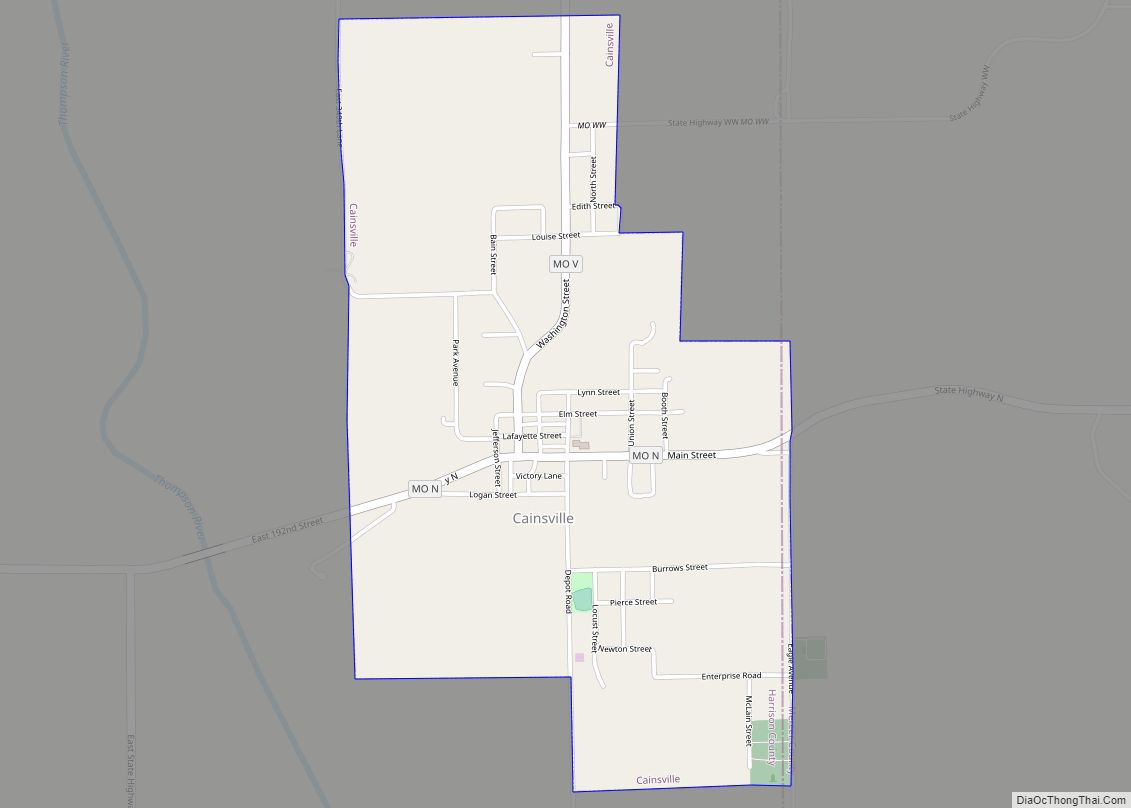
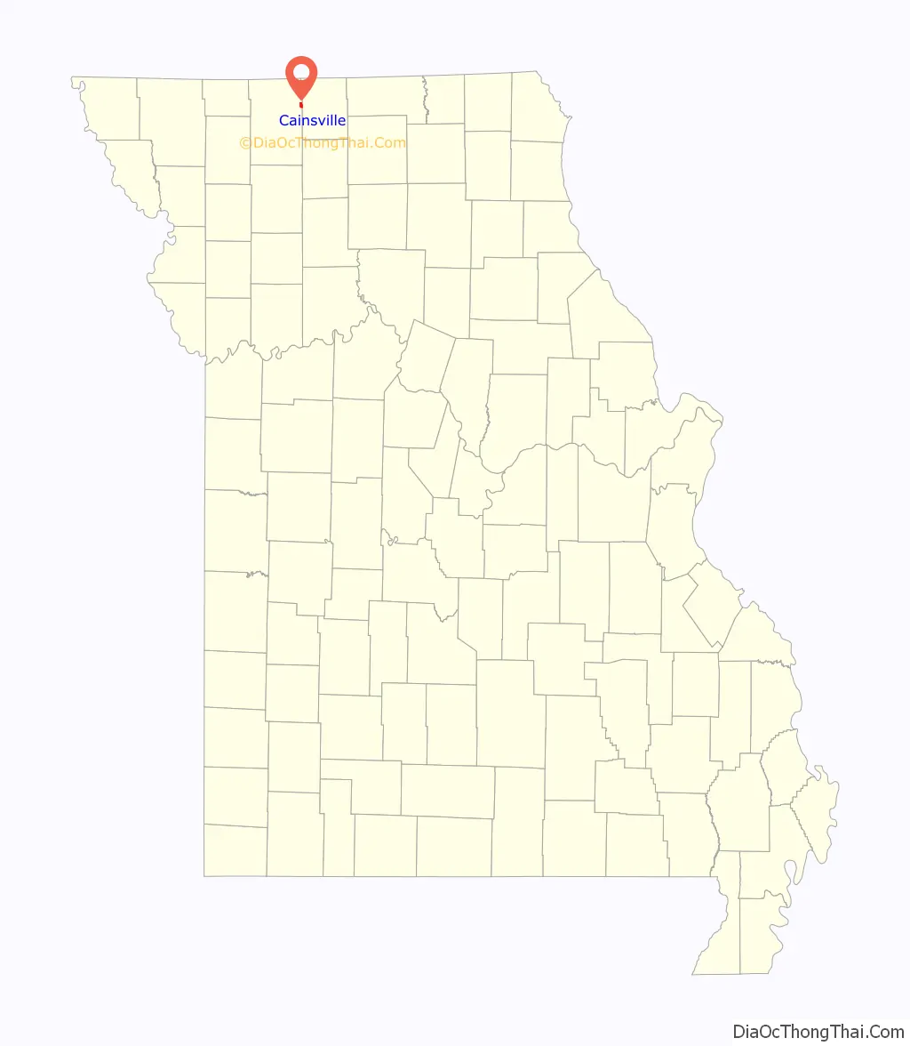
Cainsville Road Map
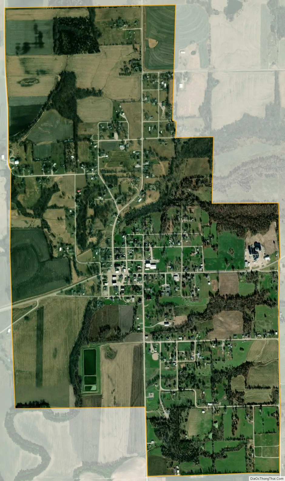
Cainsville city Satellite Map
Geography
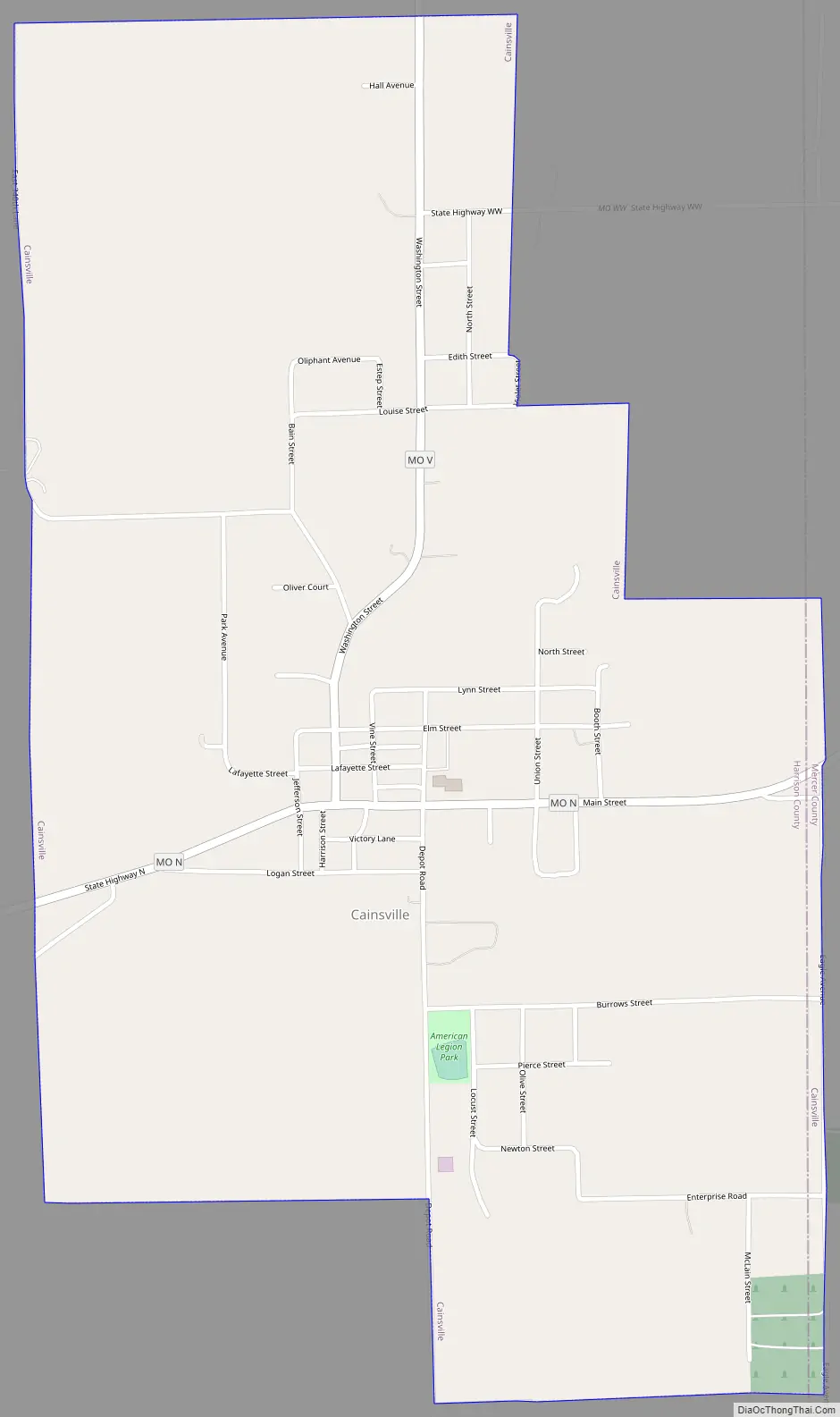
Cainsville is located one half mile west of the Harrison-Mercer county line on the east side of the Thompson River floodplain. The community lies at the intersection of Missouri routes N and V approximately seven miles north of Mount Moriah. Princeton lies approximately ten miles to the east-southeast in Mercer County.
According to the United States Census Bureau, the city has a total area of 1.37 square miles (3.55 km), all land.
See also
Map of Missouri State and its subdivision:- Adair
- Andrew
- Atchison
- Audrain
- Barry
- Barton
- Bates
- Benton
- Bollinger
- Boone
- Buchanan
- Butler
- Caldwell
- Callaway
- Camden
- Cape Girardeau
- Carroll
- Carter
- Cass
- Cedar
- Chariton
- Christian
- Clark
- Clay
- Clinton
- Cole
- Cooper
- Crawford
- Dade
- Dallas
- Daviess
- De Kalb
- Dent
- Douglas
- Dunklin
- Franklin
- Gasconade
- Gentry
- Greene
- Grundy
- Harrison
- Henry
- Hickory
- Holt
- Howard
- Howell
- Iron
- Jackson
- Jasper
- Jefferson
- Johnson
- Knox
- Laclede
- Lafayette
- Lawrence
- Lewis
- Lincoln
- Linn
- Livingston
- Macon
- Madison
- Maries
- Marion
- McDonald
- Mercer
- Miller
- Mississippi
- Moniteau
- Monroe
- Montgomery
- Morgan
- New Madrid
- Newton
- Nodaway
- Oregon
- Osage
- Ozark
- Pemiscot
- Perry
- Pettis
- Phelps
- Pike
- Platte
- Polk
- Pulaski
- Putnam
- Ralls
- Randolph
- Ray
- Reynolds
- Ripley
- Saint Charles
- Saint Clair
- Saint Francois
- Saint Louis
- Sainte Genevieve
- Saline
- Schuyler
- Scotland
- Scott
- Shannon
- Shelby
- Stoddard
- Stone
- Sullivan
- Taney
- Texas
- Vernon
- Warren
- Washington
- Wayne
- Webster
- Worth
- Wright
- Alabama
- Alaska
- Arizona
- Arkansas
- California
- Colorado
- Connecticut
- Delaware
- District of Columbia
- Florida
- Georgia
- Hawaii
- Idaho
- Illinois
- Indiana
- Iowa
- Kansas
- Kentucky
- Louisiana
- Maine
- Maryland
- Massachusetts
- Michigan
- Minnesota
- Mississippi
- Missouri
- Montana
- Nebraska
- Nevada
- New Hampshire
- New Jersey
- New Mexico
- New York
- North Carolina
- North Dakota
- Ohio
- Oklahoma
- Oregon
- Pennsylvania
- Rhode Island
- South Carolina
- South Dakota
- Tennessee
- Texas
- Utah
- Vermont
- Virginia
- Washington
- West Virginia
- Wisconsin
- Wyoming