Clever is a city in Christian County, Missouri, United States. The population was 2,139 at the 2010 census. It is part of the Springfield, Missouri Metropolitan Statistical Area. Clever, like the rest of Christian County, saw a significant increase in population between 2000 and 2010.
| Name: | Clever city |
|---|---|
| LSAD Code: | 25 |
| LSAD Description: | city (suffix) |
| State: | Missouri |
| County: | Christian County |
| Incorporated: | 1909 |
| Elevation: | 1,398 ft (426 m) |
| Total Area: | 1.50 sq mi (3.89 km²) |
| Land Area: | 1.50 sq mi (3.89 km²) |
| Water Area: | 0.00 sq mi (0.00 km²) |
| Total Population: | 2,918 |
| Population Density: | 1,944.04/sq mi (750.56/km²) |
| ZIP code: | 65631 |
| Area code: | 417 |
| FIPS code: | 2914788 |
| GNISfeature ID: | 0715973 |
| Website: | http://clevermo.com/ |
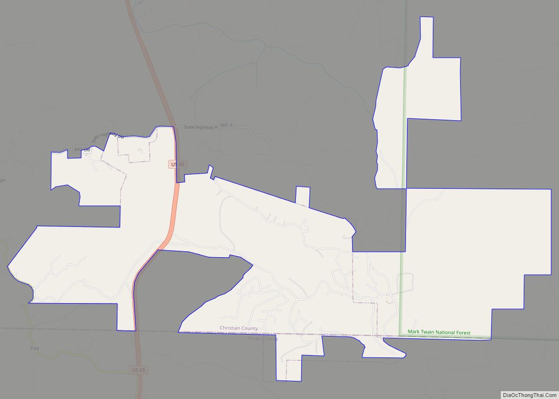
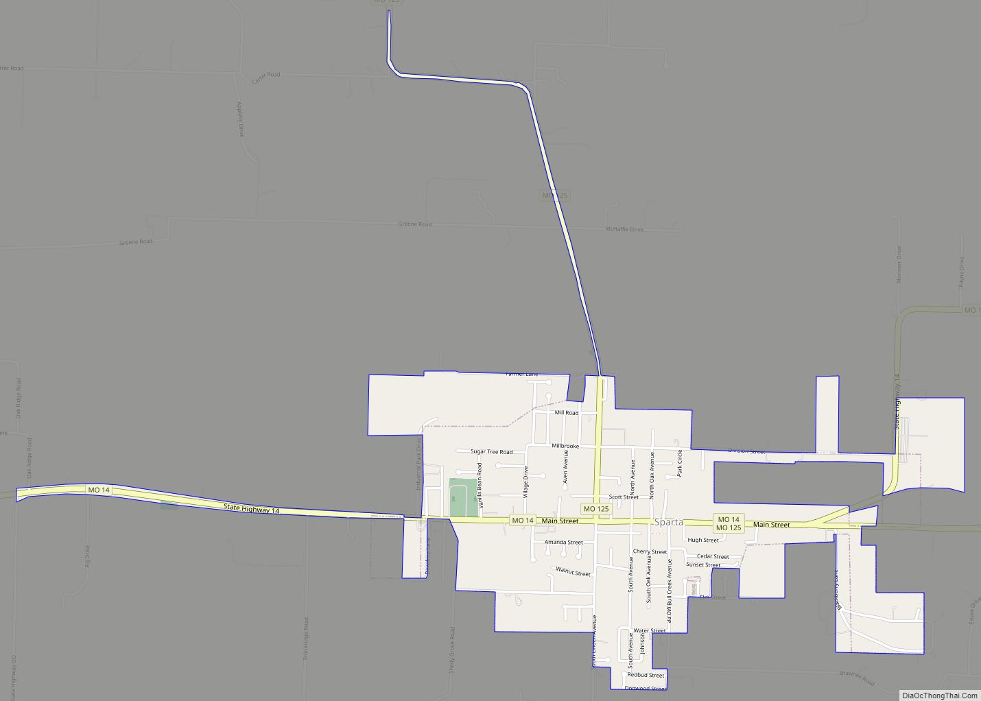
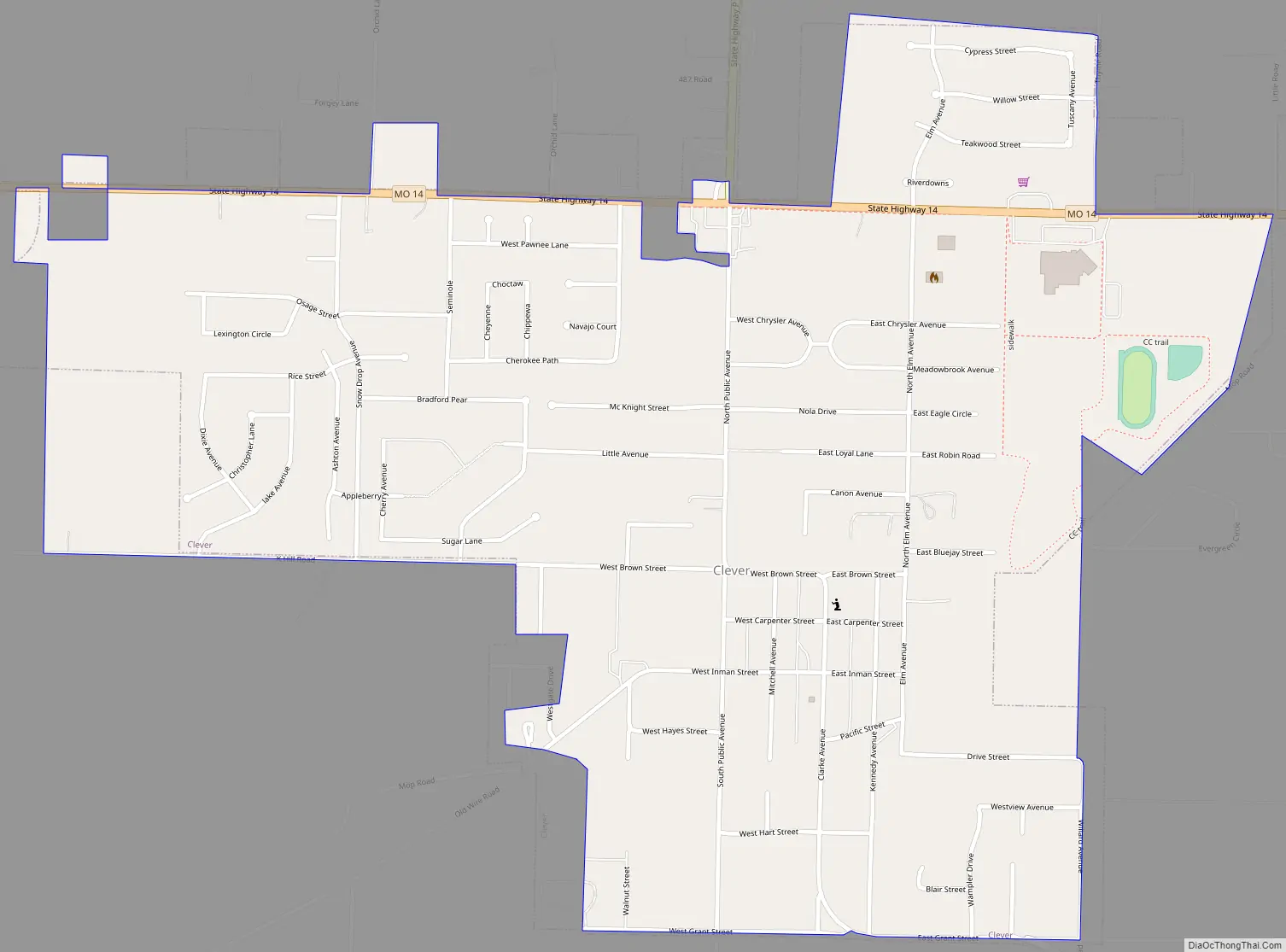
Online Interactive Map
Click on ![]() to view map in "full screen" mode.
to view map in "full screen" mode.
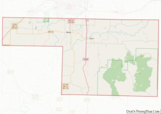
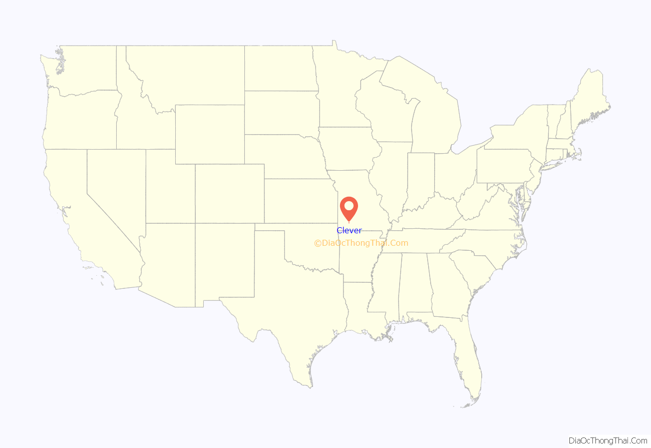
Clever location map. Where is Clever city?
History
Lincoln Township and the land that would eventually become the town of Clever remained largely unsettled for many years after Missouri became a state in 1821. A U.S. Government land survey wasn’t conducted until 1834, and the first land transaction wasn’t registered until 1845. With the coming of more settlement to southwest Missouri also came the Old Wire Road. Following a portion of the Great Osage Trail, the road extended from St. Louis, Missouri southwest to Fort Smith, Arkansas passing through Springfield, Missouri and on through Christian county. Along with supply trains and settlers headed for Fort Smith, the Butterfield Overland Mail also made use of the road from 1858 to 1861. A telegraph line ran along the same route as well, giving rise to its name.
Prior to Clever’s existence as a town, a Civil War battle took place nearby. On August 2, 1861, the Battle of Dug Springs pitted the Union forces of General Nathaniel Lyon against the numerically superior combined Confederate forces of General Benjamin McCulloch, Arkansas State Troops under General Nicholas Bartlett Pearce, and Missouri State Guard under General (and Missouri Governor) Sterling Price. The battle, along present-day Old Wire Road, was the first time during the Missouri Campaign of 1861 that the Union “Army of the West” and Confederate forces met in conflict. Despite being outnumbered more than two to one, Lyon’s Union forces prevailed in the battle. The clash is seen as a precursor to the much larger and strategically important Battle of Wilson’s Creek eight days later.
Following the end of the Civil War, a road from Springfield to Billings, Missouri crossed Old Wire Road, and it was this crossroads that gave rise to Clever. Farmer Ike Teague constructed a two-story home at the crossroads around 1890. A short time later a physician, Doctor Bishop, purchased the home and constructed a building across the road with the intent of opening a drug store and mercantile. However he died unexpectedly before completion. It would sit vacant until a year later, around 1894, William Wilson purchased the building and opened the first store in the future Clever. The first post office was established in the store in 1896 with Frank Netzer—now the store’s proprietor—as postmaster.
When the first choice for a post office name was rejected by the Federal government, Mr. Netzer surveyed customers and one, Tom Lentz, suggested “Clever” because the young community’s residents were friendly and wise. Growth of the small crossroads village was slow at first. A blacksmith shop, second store building, and meeting hall had been constructed by 1902 and a tomato canning factory established in 1904.
The next year, surveyors for the Missouri Pacific Railroad laid out a route from Springfield to Crane, Missouri that passed through Clever. It was at this same time the plat for Clever was officially surveyed and laid out. A 300-foot deep well was drilled for community use and operated by a small gasoline engine until electricity came to Clever in 1928. By 1908 the growing town featured many new business spurred by the railroad including a hotel, lumber yard, photography studio, a bank, movie theater, flour mill, and several mercantile and hardware establishments. With this rapid growth residents felt it time to officially organize as a municipality and petitioned the Christian County court, which granted the request and appointed Clever’s first Board of Trustees in February, 1909.
In 1910, Clever’s first documented population in the United States Census was 248. Its location on the railroad meant an opportunity for entertainment not normal for a typical small town of the era. A series of Chautauqua events over the course of several summers entertained the residents, as did famed showman and Wild West figure William “Buffalo Bill” Cody in 1913. Famed ragtime composer and pianist Blind Boone also performed in concert at the Clever school gym. Through the first half of the 20th century the population remained relatively stable around or slightly below 500 residents. However between 1990 and 2000 the population nearly doubled from 580 to 1,010., and then more than doubled between 2000 and 2010 rising from 1,010 to 2,139. On May 4, 2003, a series of tornadoes passed by the outer reaches of the town. The tornado outbreak resulted in major property damage, numerous livestock deaths, and one human fatality.
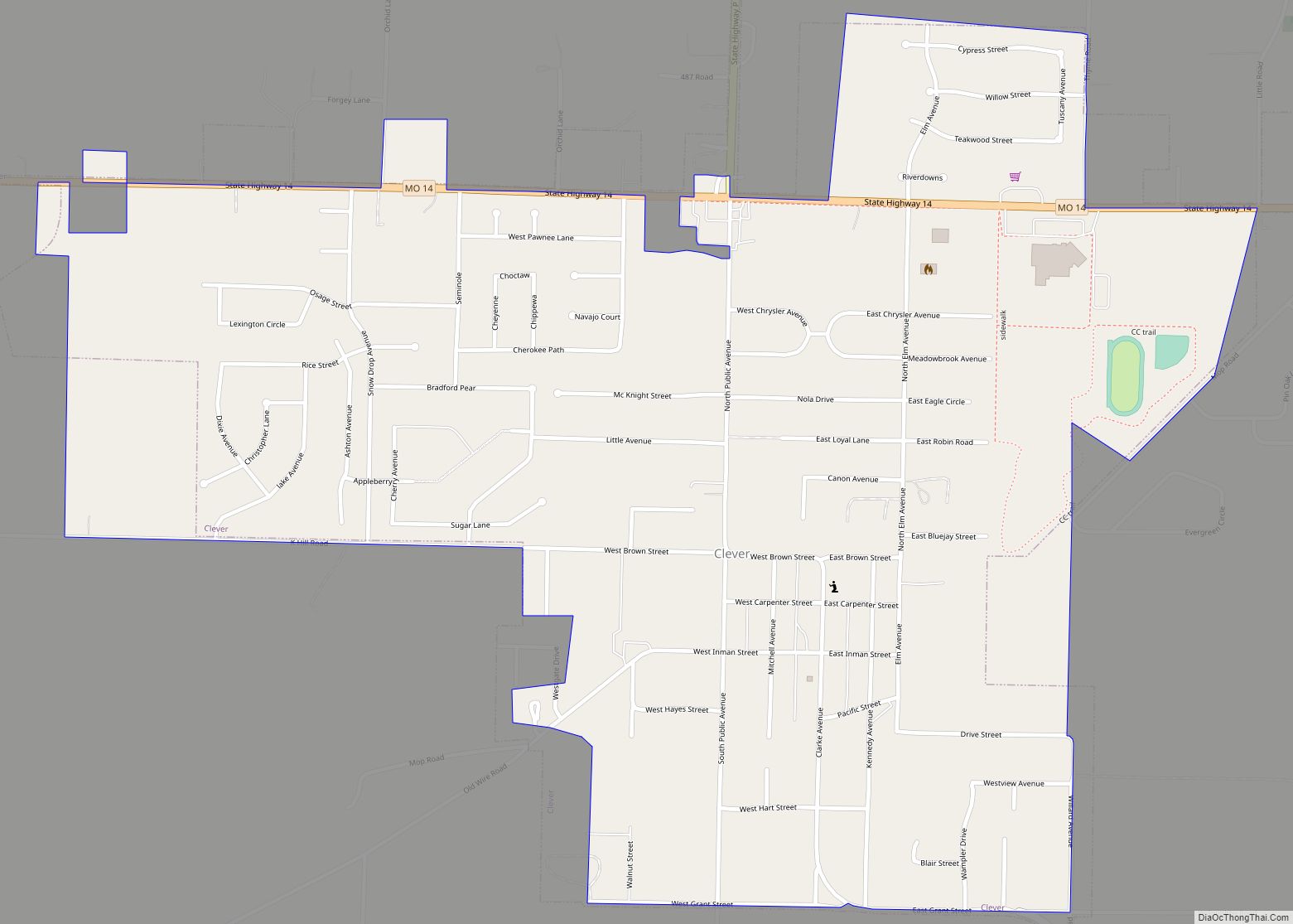
Clever Road Map
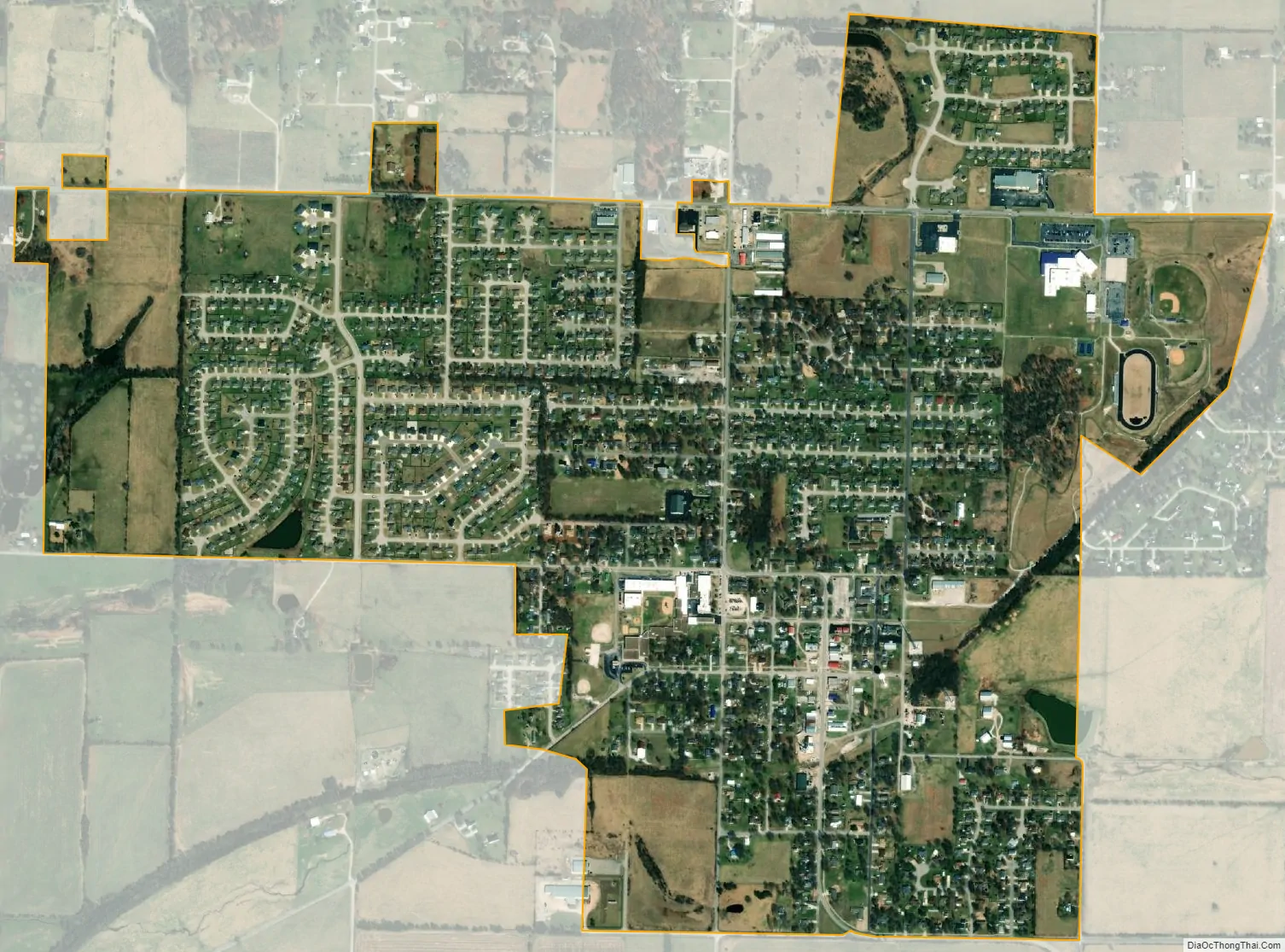
Clever city Satellite Map
Geography
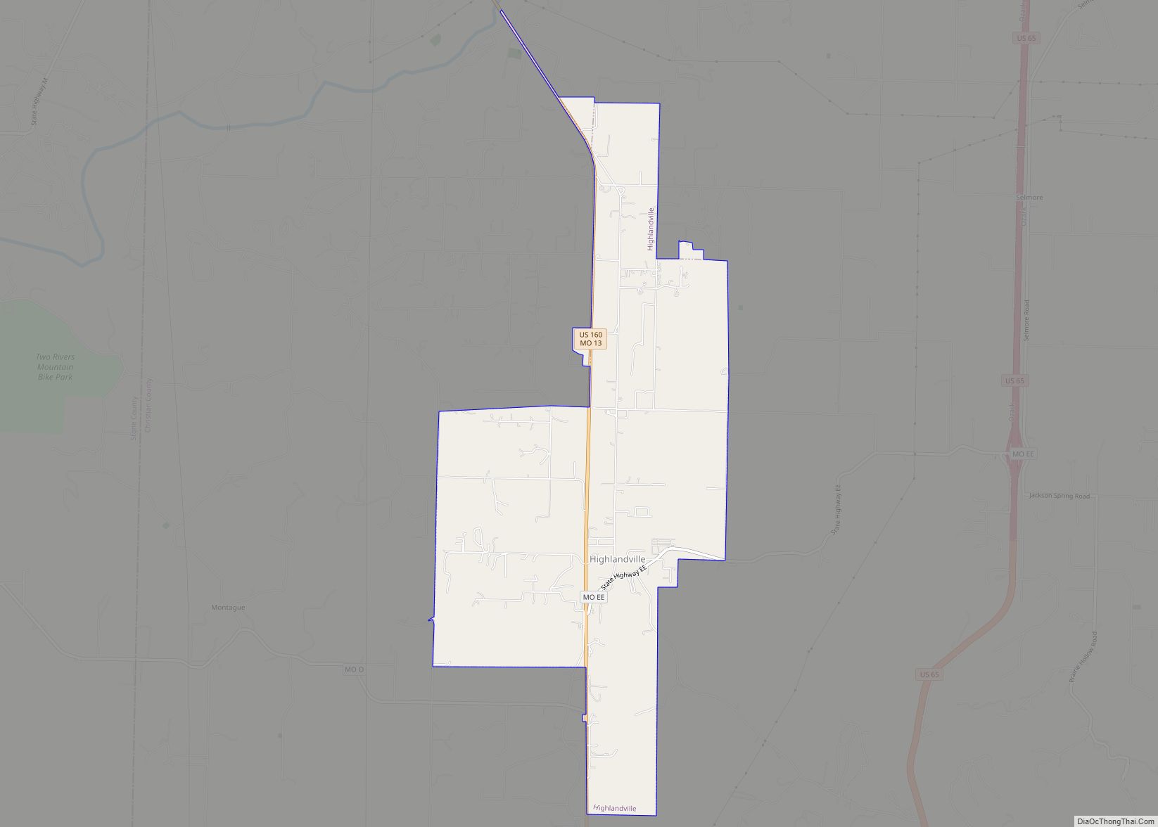
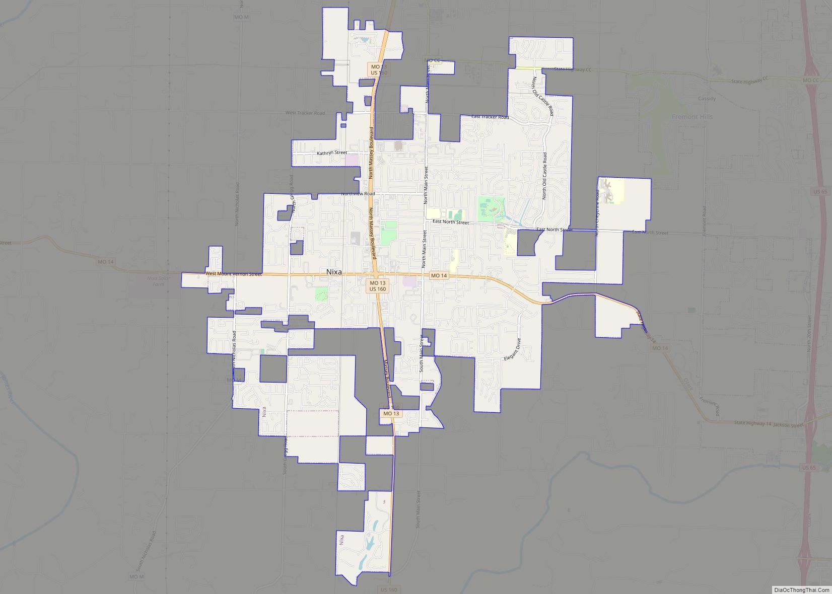
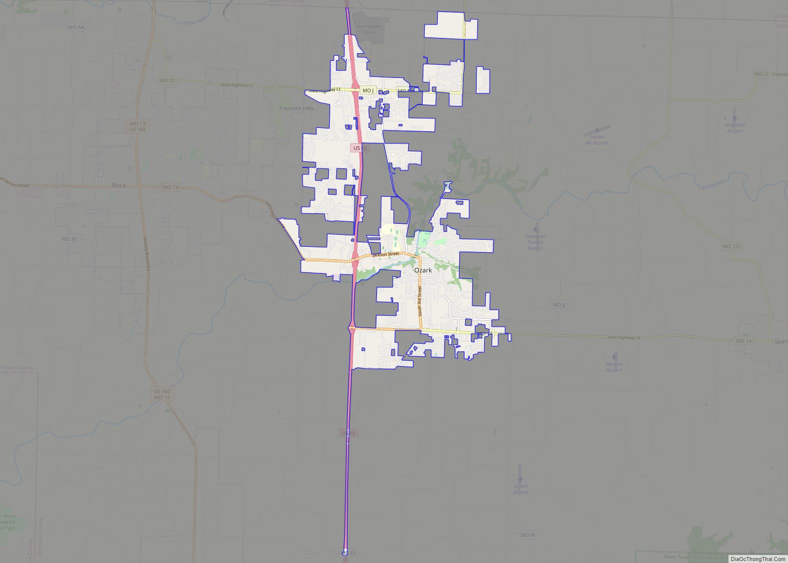
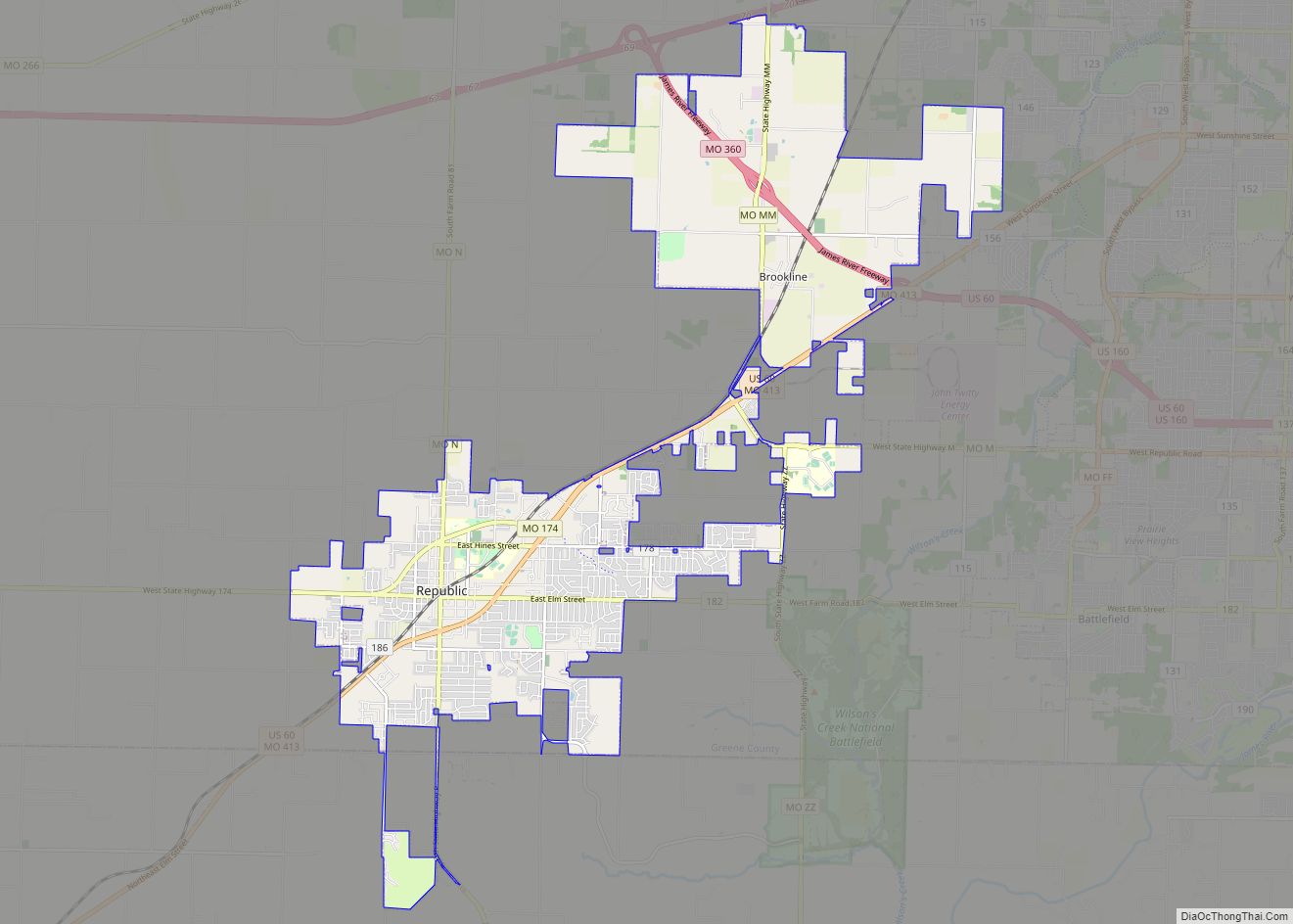
Clever is located on the Springfield Plateau of the Missouri Ozarks, 14.5 miles (23.3 km) southwest of Springfield at an elevation of 1,398 feet (426 m). The town lies in the western panhandle of Christian County, just south of Missouri Highway 14 between Nixa and Billings. The town of Republic and the Wilson’s Creek National Battlefield are approximately six miles to the north and northeast.
According to the United States Census Bureau, the city has a total area of 1.26 square miles (3.26 km), all land.
See also
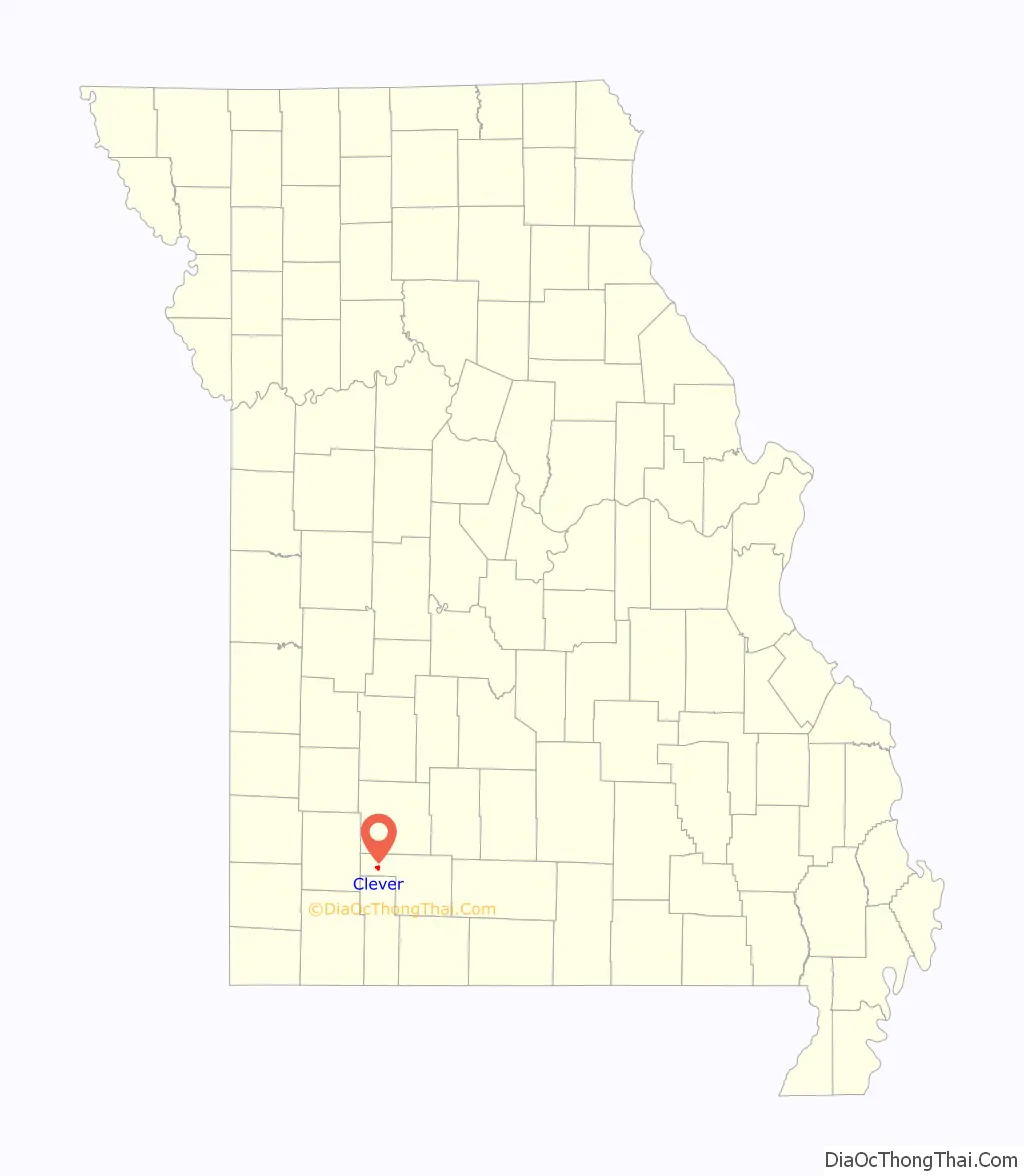
Map of Missouri State and its subdivision:- Adair
- Andrew
- Atchison
- Audrain
- Barry
- Barton
- Bates
- Benton
- Bollinger
- Boone
- Buchanan
- Butler
- Caldwell
- Callaway
- Camden
- Cape Girardeau
- Carroll
- Carter
- Cass
- Cedar
- Chariton
- Christian
- Clark
- Clay
- Clinton
- Cole
- Cooper
- Crawford
- Dade
- Dallas
- Daviess
- De Kalb
- Dent
- Douglas
- Dunklin
- Franklin
- Gasconade
- Gentry
- Greene
- Grundy
- Harrison
- Henry
- Hickory
- Holt
- Howard
- Howell
- Iron
- Jackson
- Jasper
- Jefferson
- Johnson
- Knox
- Laclede
- Lafayette
- Lawrence
- Lewis
- Lincoln
- Linn
- Livingston
- Macon
- Madison
- Maries
- Marion
- McDonald
- Mercer
- Miller
- Mississippi
- Moniteau
- Monroe
- Montgomery
- Morgan
- New Madrid
- Newton
- Nodaway
- Oregon
- Osage
- Ozark
- Pemiscot
- Perry
- Pettis
- Phelps
- Pike
- Platte
- Polk
- Pulaski
- Putnam
- Ralls
- Randolph
- Ray
- Reynolds
- Ripley
- Saint Charles
- Saint Clair
- Saint Francois
- Saint Louis
- Sainte Genevieve
- Saline
- Schuyler
- Scotland
- Scott
- Shannon
- Shelby
- Stoddard
- Stone
- Sullivan
- Taney
- Texas
- Vernon
- Warren
- Washington
- Wayne
- Webster
- Worth
- Wright
- Alabama
- Alaska
- Arizona
- Arkansas
- California
- Colorado
- Connecticut
- Delaware
- District of Columbia
- Florida
- Georgia
- Hawaii
- Idaho
- Illinois
- Indiana
- Iowa
- Kansas
- Kentucky
- Louisiana
- Maine
- Maryland
- Massachusetts
- Michigan
- Minnesota
- Mississippi
- Missouri
- Montana
- Nebraska
- Nevada
- New Hampshire
- New Jersey
- New Mexico
- New York
- North Carolina
- North Dakota
- Ohio
- Oklahoma
- Oregon
- Pennsylvania
- Rhode Island
- South Carolina
- South Dakota
- Tennessee
- Texas
- Utah
- Vermont
- Virginia
- Washington
- West Virginia
- Wisconsin
- Wyoming