Creve Coeur /ˈkriːv ˈkɔːr/ is a city located in mid St. Louis County, Missouri, United States, a part of Greater St. Louis. Its population was 18,834 at the 2020 census. Creve Coeur borders and shares a ZIP code (63141) with the neighboring city of Town and Country. It is home to the headquarters of Drury Hotels, and Monsanto until its acquisition by Bayer in 2018.
| Name: | Creve Coeur city |
|---|---|
| LSAD Code: | 25 |
| LSAD Description: | city (suffix) |
| State: | Missouri |
| County: | St. Louis County |
| Elevation: | 614 ft (187 m) |
| Total Area: | 10.28 sq mi (26.61 km²) |
| Land Area: | 10.28 sq mi (26.61 km²) |
| Water Area: | 0.00 sq mi (0.00 km²) |
| Total Population: | 18,834 |
| Population Density: | 1,832.99/sq mi (707.69/km²) |
| FIPS code: | 2917272 |
| GNISfeature ID: | 2393674 |
Online Interactive Map
Click on ![]() to view map in "full screen" mode.
to view map in "full screen" mode.
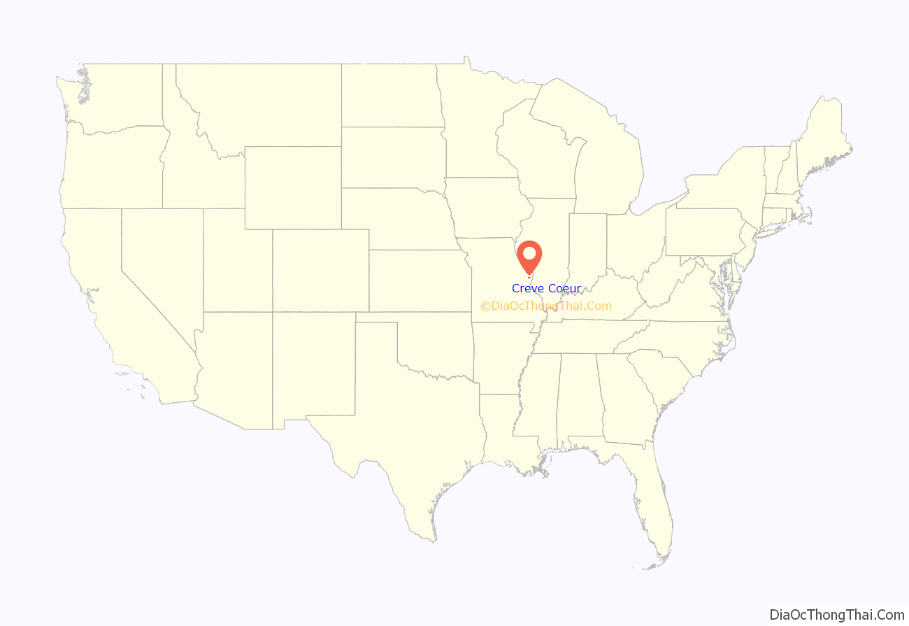
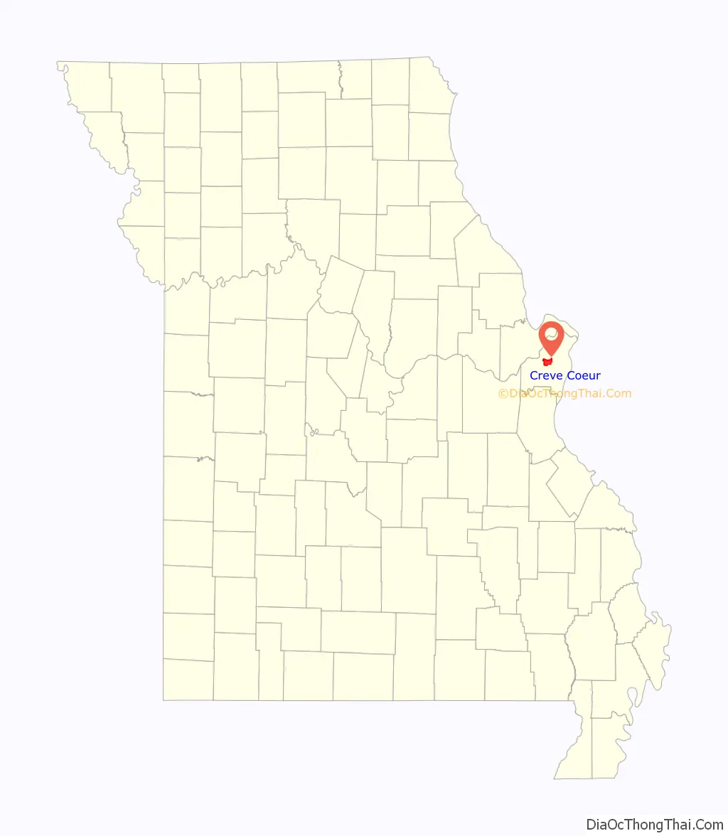
Creve Coeur location map. Where is Creve Coeur city?
History
The name crève cœur (French pronunciation: [krɛv kœʁ], “heartbreak”) is said to derive from Creve Coeur Lake. According to the city’s website, the tale goes that the lake “formed itself into a broken heart” after an Indian princess’s unrequited love for a French fur trapper led her to jump “from a ledge overlooking” the lake.
Written accounts and archaeological finds show that Native Americans inhabited the Creve Coeur area from 9500 BC to 1800 AD. French explorers began farming and fishing in the area in the early 18th century, and fur trappers settled there in the early 19th century. When the area was acquired by the United States through the Louisiana Purchase in 1803, the Lewis and Clark Expedition came through Creve Coeur. During the American Civil War, men from the area served on both sides of the conflict, but most residents were southern sympathizers.
Creve Coeur was incorporated in 1949. Although cabins more than 200 years old (including two still in Conway Park) are in the community, it grew primarily as a stopping point along Olive Boulevard (now Route 340) between University City and Creve Coeur Lake. It expanded faster following construction of Interstate 270 and U.S. Route 40.
The lake and its associated park of the same name, which was the first county park in St. Louis County, is now part of Maryland Heights to the north of Creve Coeur.
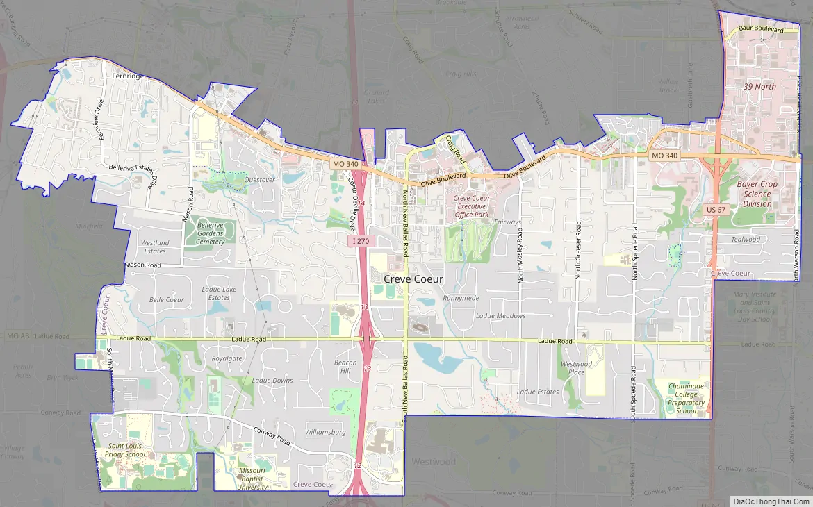
Creve Coeur Road Map
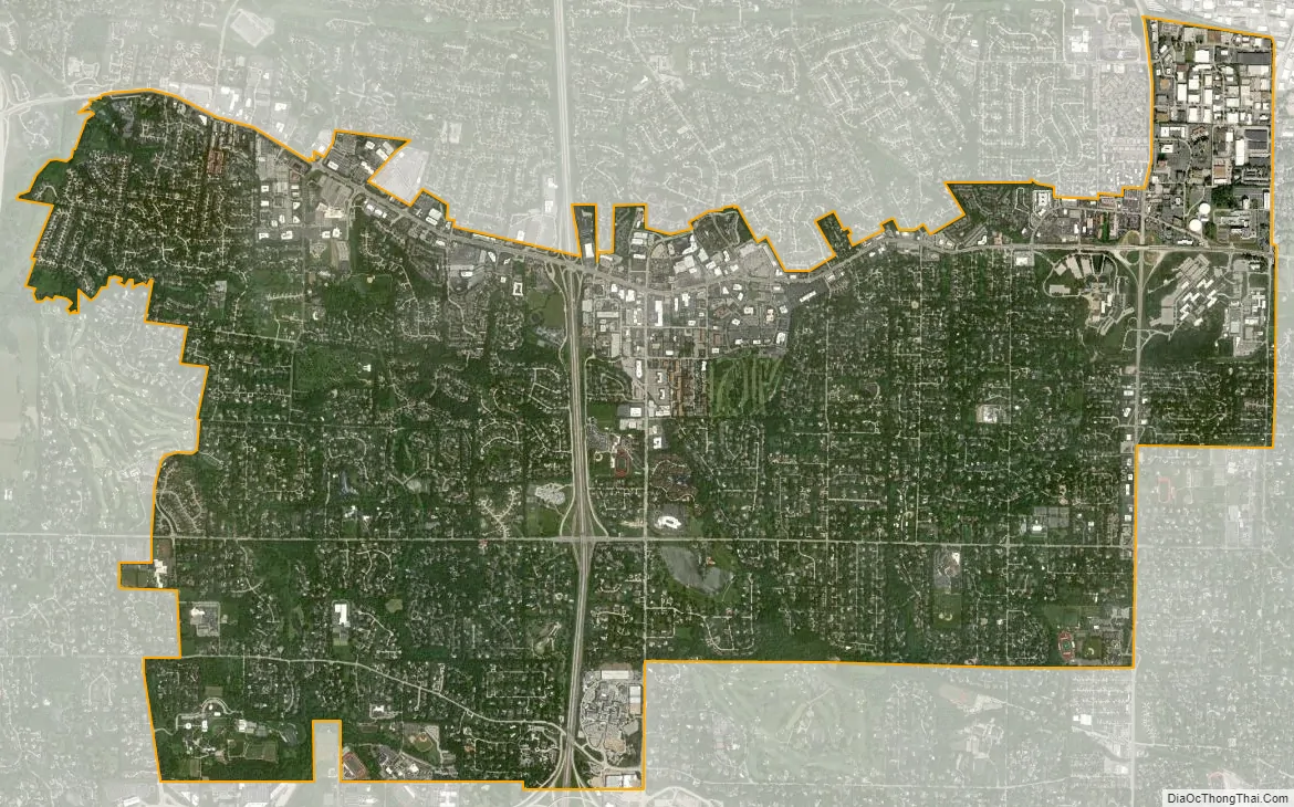
Creve Coeur city Satellite Map
Geography
According to the United States Census Bureau, the city has a total area of 10.27 square miles (26.60 km), all land.
See also
Map of Missouri State and its subdivision:- Adair
- Andrew
- Atchison
- Audrain
- Barry
- Barton
- Bates
- Benton
- Bollinger
- Boone
- Buchanan
- Butler
- Caldwell
- Callaway
- Camden
- Cape Girardeau
- Carroll
- Carter
- Cass
- Cedar
- Chariton
- Christian
- Clark
- Clay
- Clinton
- Cole
- Cooper
- Crawford
- Dade
- Dallas
- Daviess
- De Kalb
- Dent
- Douglas
- Dunklin
- Franklin
- Gasconade
- Gentry
- Greene
- Grundy
- Harrison
- Henry
- Hickory
- Holt
- Howard
- Howell
- Iron
- Jackson
- Jasper
- Jefferson
- Johnson
- Knox
- Laclede
- Lafayette
- Lawrence
- Lewis
- Lincoln
- Linn
- Livingston
- Macon
- Madison
- Maries
- Marion
- McDonald
- Mercer
- Miller
- Mississippi
- Moniteau
- Monroe
- Montgomery
- Morgan
- New Madrid
- Newton
- Nodaway
- Oregon
- Osage
- Ozark
- Pemiscot
- Perry
- Pettis
- Phelps
- Pike
- Platte
- Polk
- Pulaski
- Putnam
- Ralls
- Randolph
- Ray
- Reynolds
- Ripley
- Saint Charles
- Saint Clair
- Saint Francois
- Saint Louis
- Sainte Genevieve
- Saline
- Schuyler
- Scotland
- Scott
- Shannon
- Shelby
- Stoddard
- Stone
- Sullivan
- Taney
- Texas
- Vernon
- Warren
- Washington
- Wayne
- Webster
- Worth
- Wright
- Alabama
- Alaska
- Arizona
- Arkansas
- California
- Colorado
- Connecticut
- Delaware
- District of Columbia
- Florida
- Georgia
- Hawaii
- Idaho
- Illinois
- Indiana
- Iowa
- Kansas
- Kentucky
- Louisiana
- Maine
- Maryland
- Massachusetts
- Michigan
- Minnesota
- Mississippi
- Missouri
- Montana
- Nebraska
- Nevada
- New Hampshire
- New Jersey
- New Mexico
- New York
- North Carolina
- North Dakota
- Ohio
- Oklahoma
- Oregon
- Pennsylvania
- Rhode Island
- South Carolina
- South Dakota
- Tennessee
- Texas
- Utah
- Vermont
- Virginia
- Washington
- West Virginia
- Wisconsin
- Wyoming


