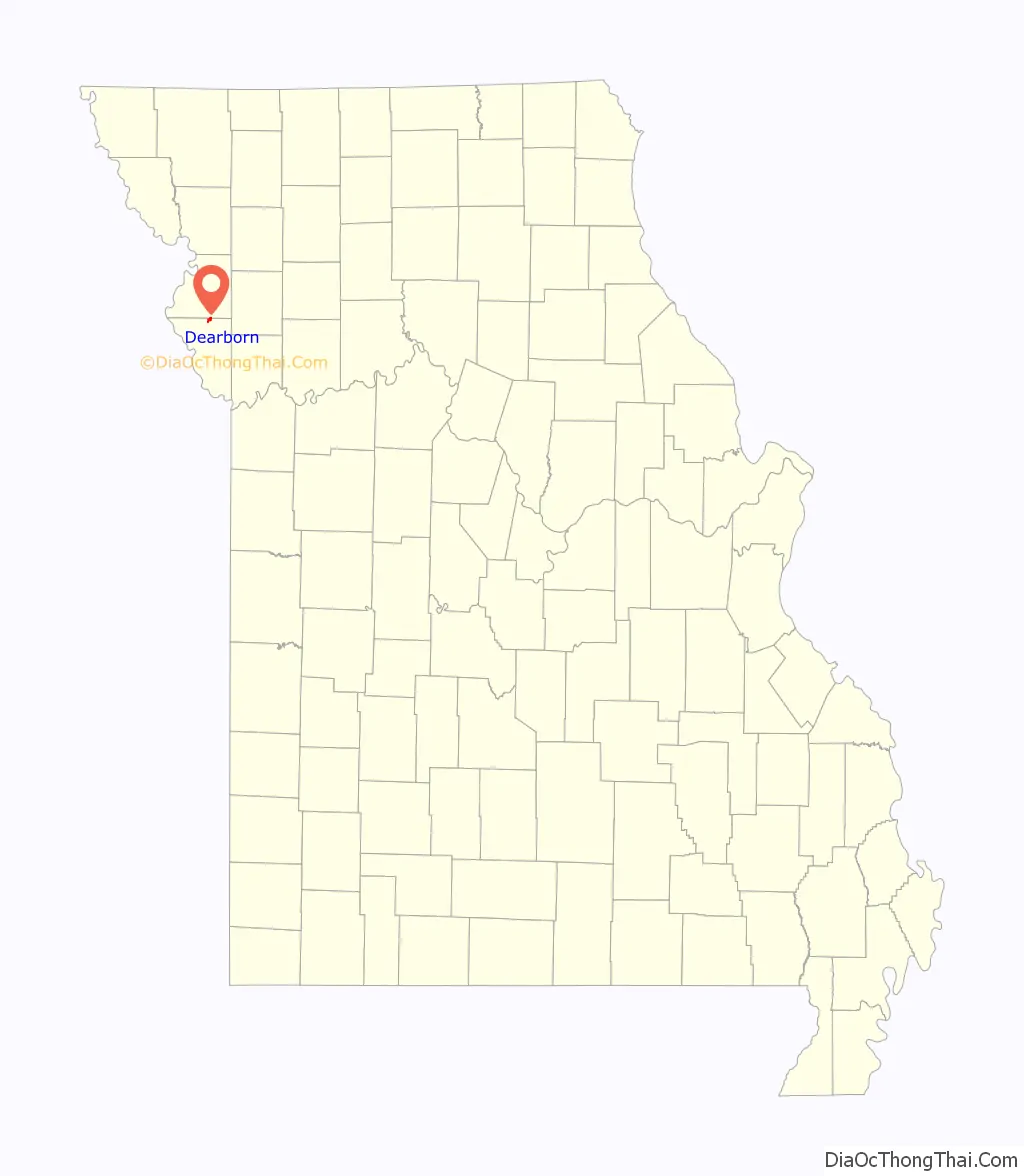
Dearborn is a city in Buchanan and Platte counties in the U.S. state of Missouri and is part of the Kansas City metropolitan area. The population was 496 at the 2010 census.
| Name: | Dearborn city |
|---|---|
| LSAD Code: | 25 |
| LSAD Description: | city (suffix) |
| State: | Missouri |
| County: | Buchanan County, Platte County |
| Incorporated: | 1882 |
| Elevation: | 879 ft (268 m) |
| Total Area: | 0.84 sq mi (2.16 km²) |
| Land Area: | 0.82 sq mi (2.12 km²) |
| Water Area: | 0.02 sq mi (0.05 km²) |
| Total Population: | 482 |
| Population Density: | 589.24/sq mi (227.51/km²) |
| ZIP code: | 64439 |
| Area code: | 816 |
| FIPS code: | 2918658 |
| GNISfeature ID: | 2394478 |
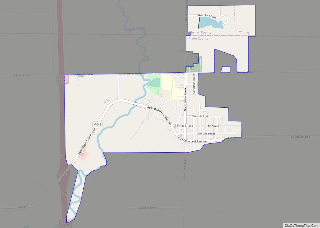
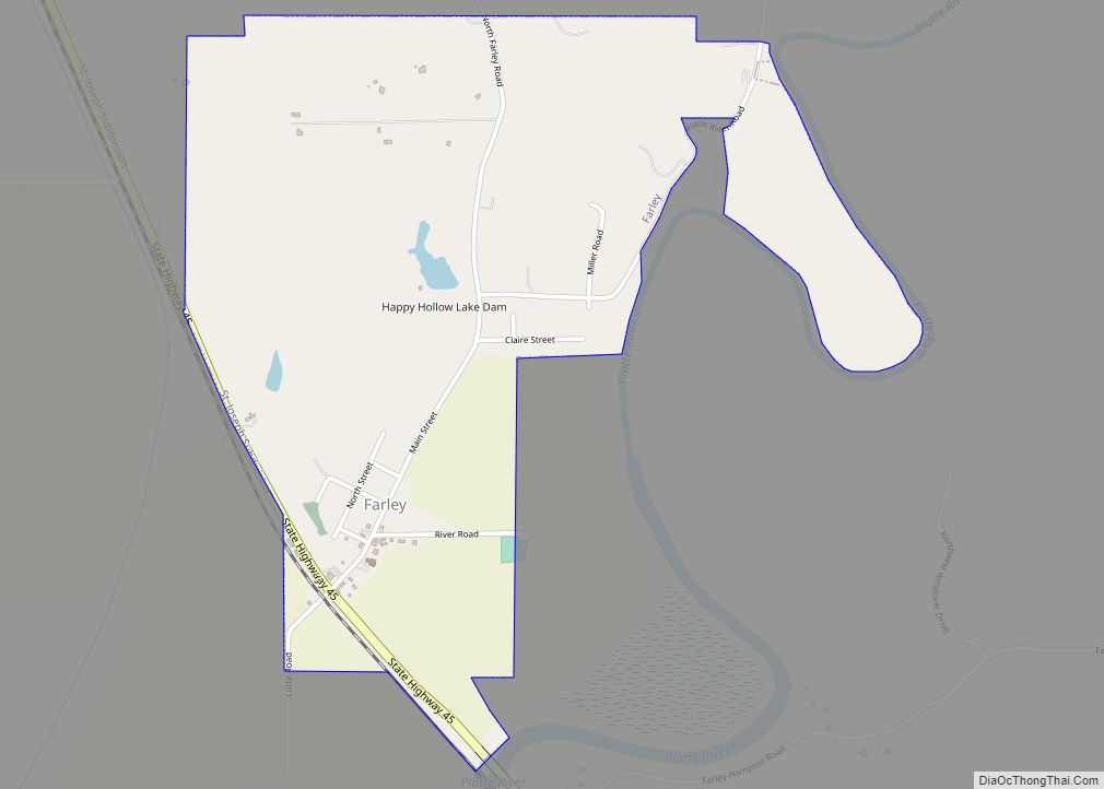
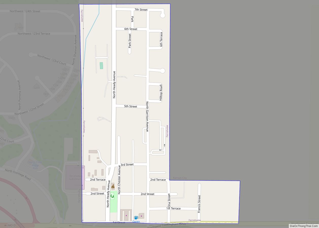
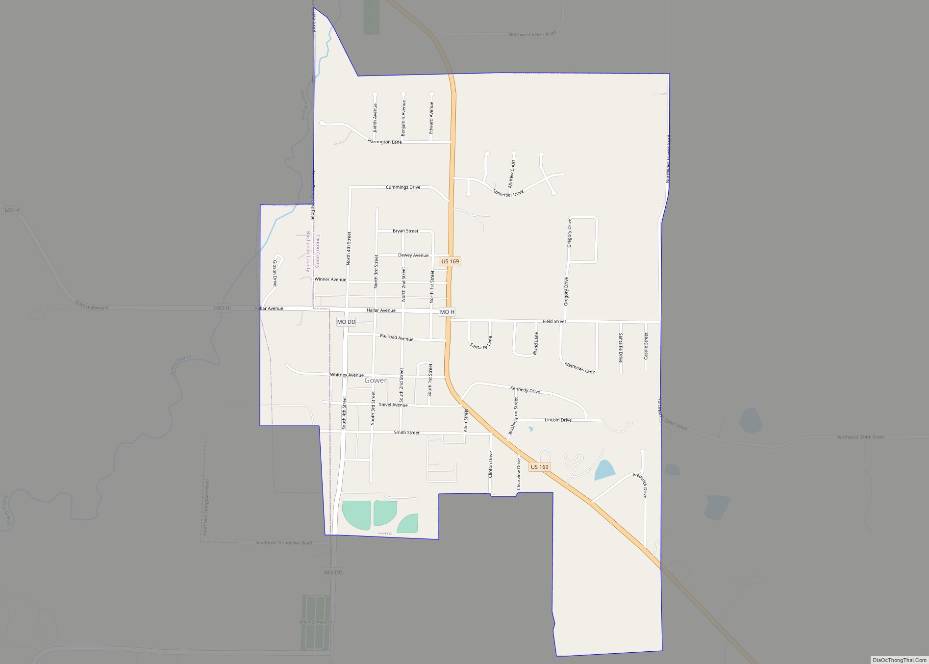
Online Interactive Map
Click on ![]() to view map in "full screen" mode.
to view map in "full screen" mode.
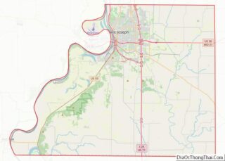
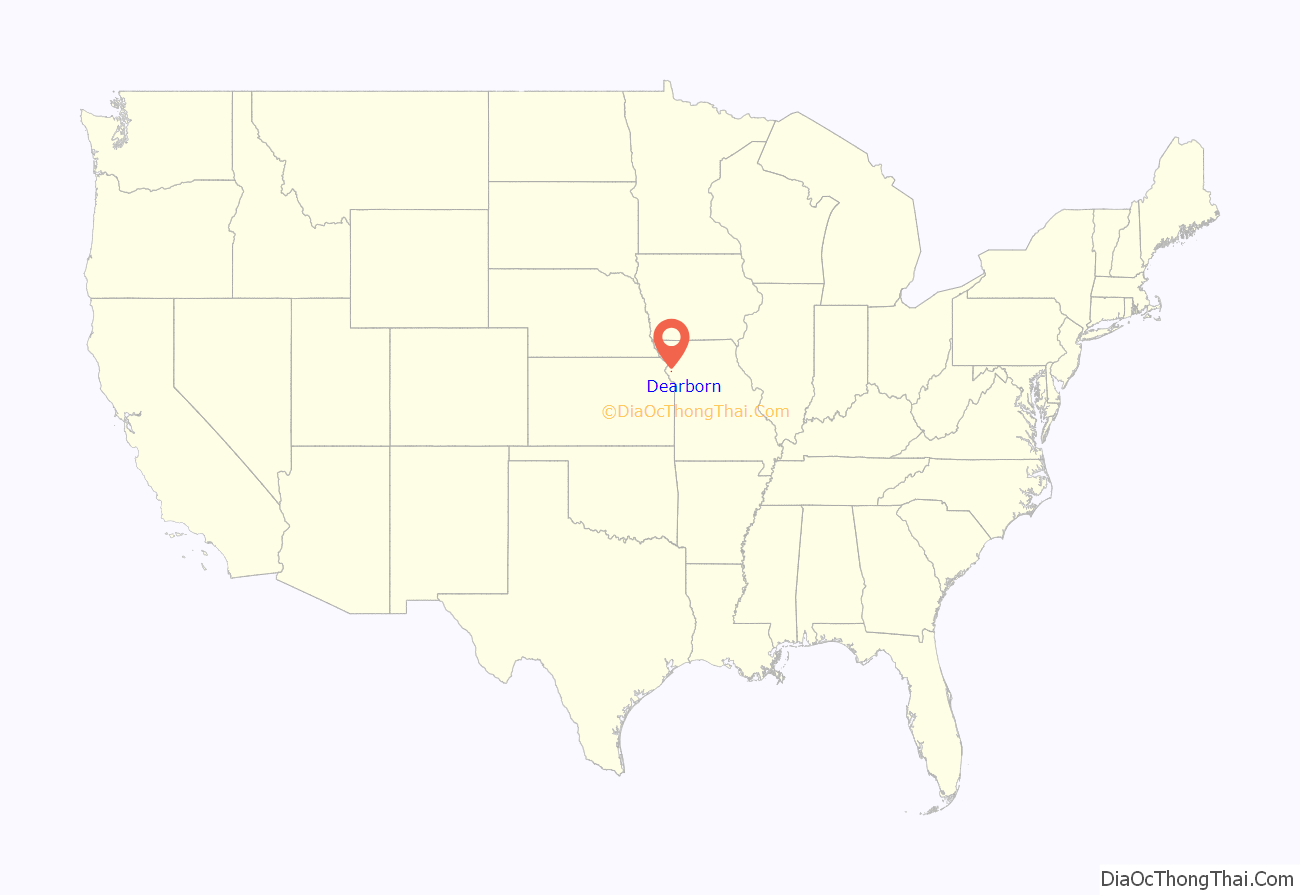
Dearborn location map. Where is Dearborn city?
History
The city was named for Henry Dearborn, Revolutionary War general and Secretary of War, and was incorporated in 1882.
From 1913 to 1933, Dearborn was one of the stops along the Kansas City, Clay County and St. Joseph Railway (KCCC&SJ), an interurban light rail line connecting Kansas City and St. Joseph. Portions of the right-of-way and roadbed are still visible from Dearborn north to St. Joseph.
In November 2012, one of two winning tickets for a then record-breaking $587.5 million Powerball jackpot was purchased at the Trex Mart gas station in Dearborn.
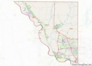
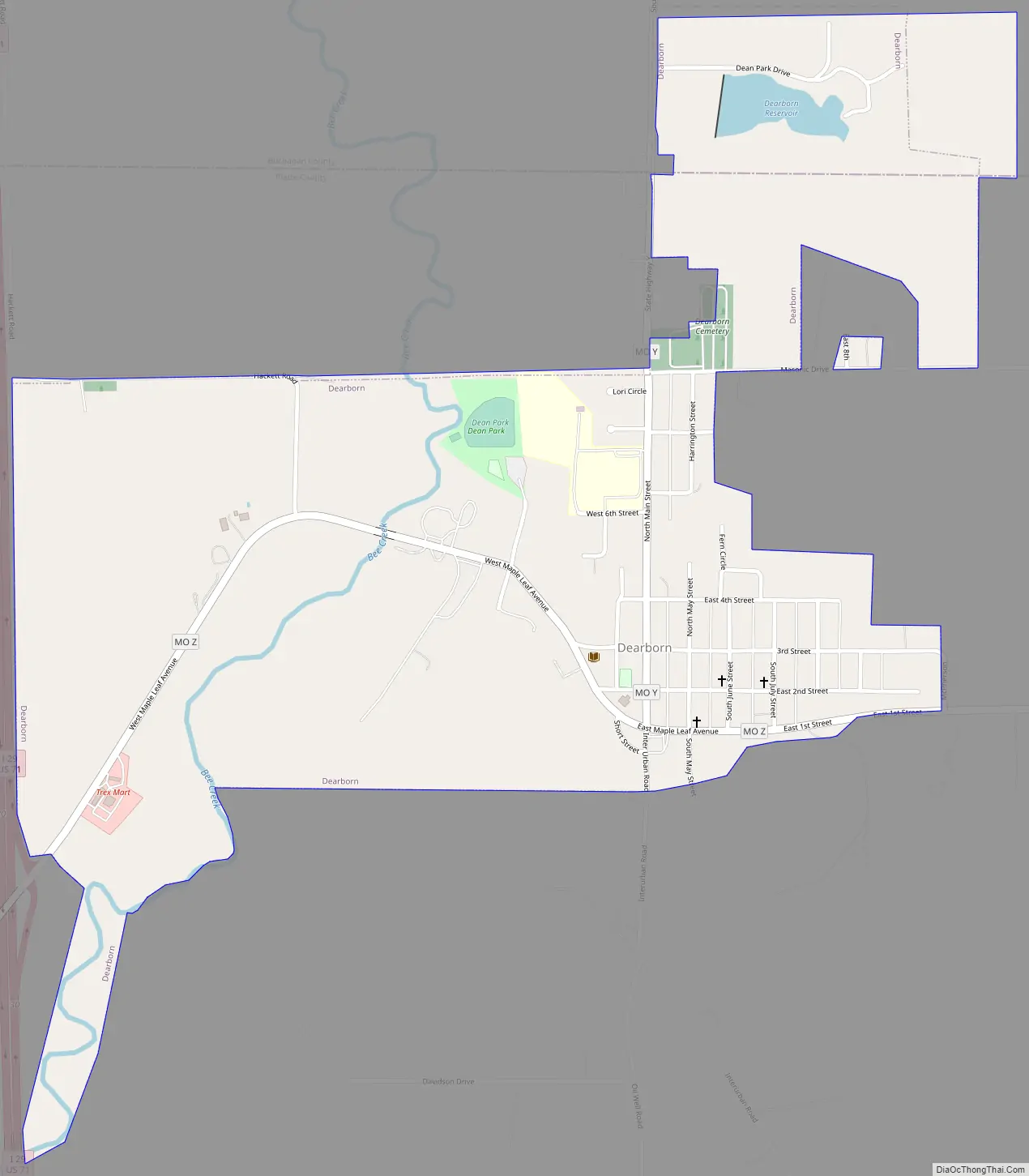
Dearborn Road Map
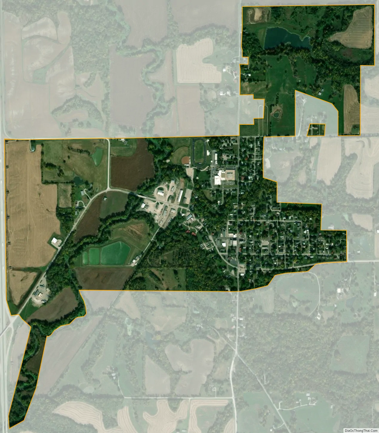
Dearborn city Satellite Map
Geography
Dearborn is located in northern Platte County and centered about one-half mile south of the Platte-Buchanan county line. The Dearborn Reservoir is just across the county line to the north. The community is on Routes Z and Y one mile east of U.S. Route 71. Bee Creek flows past the west side of the community.
According to the United States Census Bureau, the city has a total area of 0.91 square miles (2.36 km), of which 0.89 square miles (2.31 km) is land and 0.02 square miles (0.05 km) is water.
See also
Map of Missouri State and its subdivision:- Adair
- Andrew
- Atchison
- Audrain
- Barry
- Barton
- Bates
- Benton
- Bollinger
- Boone
- Buchanan
- Butler
- Caldwell
- Callaway
- Camden
- Cape Girardeau
- Carroll
- Carter
- Cass
- Cedar
- Chariton
- Christian
- Clark
- Clay
- Clinton
- Cole
- Cooper
- Crawford
- Dade
- Dallas
- Daviess
- De Kalb
- Dent
- Douglas
- Dunklin
- Franklin
- Gasconade
- Gentry
- Greene
- Grundy
- Harrison
- Henry
- Hickory
- Holt
- Howard
- Howell
- Iron
- Jackson
- Jasper
- Jefferson
- Johnson
- Knox
- Laclede
- Lafayette
- Lawrence
- Lewis
- Lincoln
- Linn
- Livingston
- Macon
- Madison
- Maries
- Marion
- McDonald
- Mercer
- Miller
- Mississippi
- Moniteau
- Monroe
- Montgomery
- Morgan
- New Madrid
- Newton
- Nodaway
- Oregon
- Osage
- Ozark
- Pemiscot
- Perry
- Pettis
- Phelps
- Pike
- Platte
- Polk
- Pulaski
- Putnam
- Ralls
- Randolph
- Ray
- Reynolds
- Ripley
- Saint Charles
- Saint Clair
- Saint Francois
- Saint Louis
- Sainte Genevieve
- Saline
- Schuyler
- Scotland
- Scott
- Shannon
- Shelby
- Stoddard
- Stone
- Sullivan
- Taney
- Texas
- Vernon
- Warren
- Washington
- Wayne
- Webster
- Worth
- Wright
- Alabama
- Alaska
- Arizona
- Arkansas
- California
- Colorado
- Connecticut
- Delaware
- District of Columbia
- Florida
- Georgia
- Hawaii
- Idaho
- Illinois
- Indiana
- Iowa
- Kansas
- Kentucky
- Louisiana
- Maine
- Maryland
- Massachusetts
- Michigan
- Minnesota
- Mississippi
- Missouri
- Montana
- Nebraska
- Nevada
- New Hampshire
- New Jersey
- New Mexico
- New York
- North Carolina
- North Dakota
- Ohio
- Oklahoma
- Oregon
- Pennsylvania
- Rhode Island
- South Carolina
- South Dakota
- Tennessee
- Texas
- Utah
- Vermont
- Virginia
- Washington
- West Virginia
- Wisconsin
- Wyoming