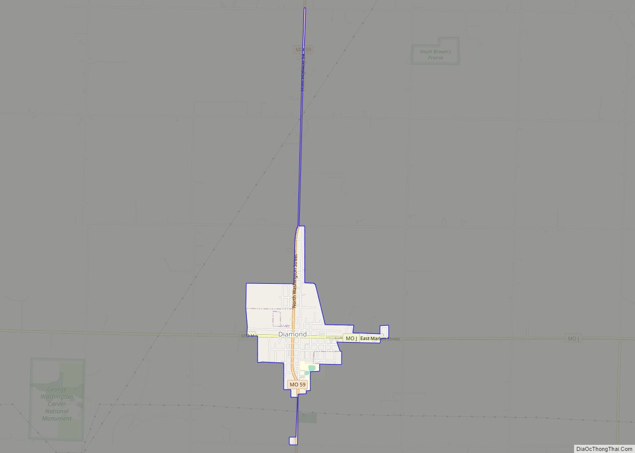
Diamond is a city in north central Newton County, Missouri, United States, located southeast of Joplin. The population was 902 at the 2010 census. It is part of the Joplin, Missouri, Metropolitan Statistical Area. Diamond is primarily renowned as the birthplace of George Washington Carver.
| Name: | Diamond town |
|---|---|
| LSAD Code: | 43 |
| LSAD Description: | town (suffix) |
| State: | Missouri |
| County: | Newton County |
| Elevation: | 1,161 ft (354 m) |
| Total Area: | 0.75 sq mi (1.94 km²) |
| Land Area: | 0.75 sq mi (1.93 km²) |
| Water Area: | 0.00 sq mi (0.00 km²) |
| Total Population: | 831 |
| Population Density: | 1,112.45/sq mi (429.81/km²) |
| ZIP code: | 64840 |
| Area code: | 417 |
| FIPS code: | 2919432 |
| GNISfeature ID: | 2396686 |
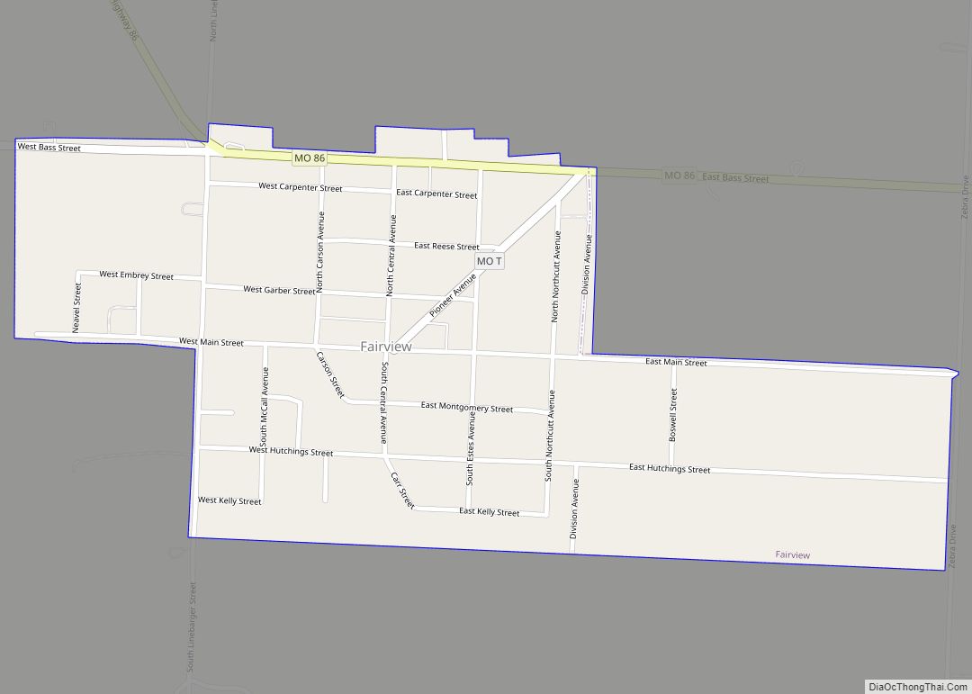
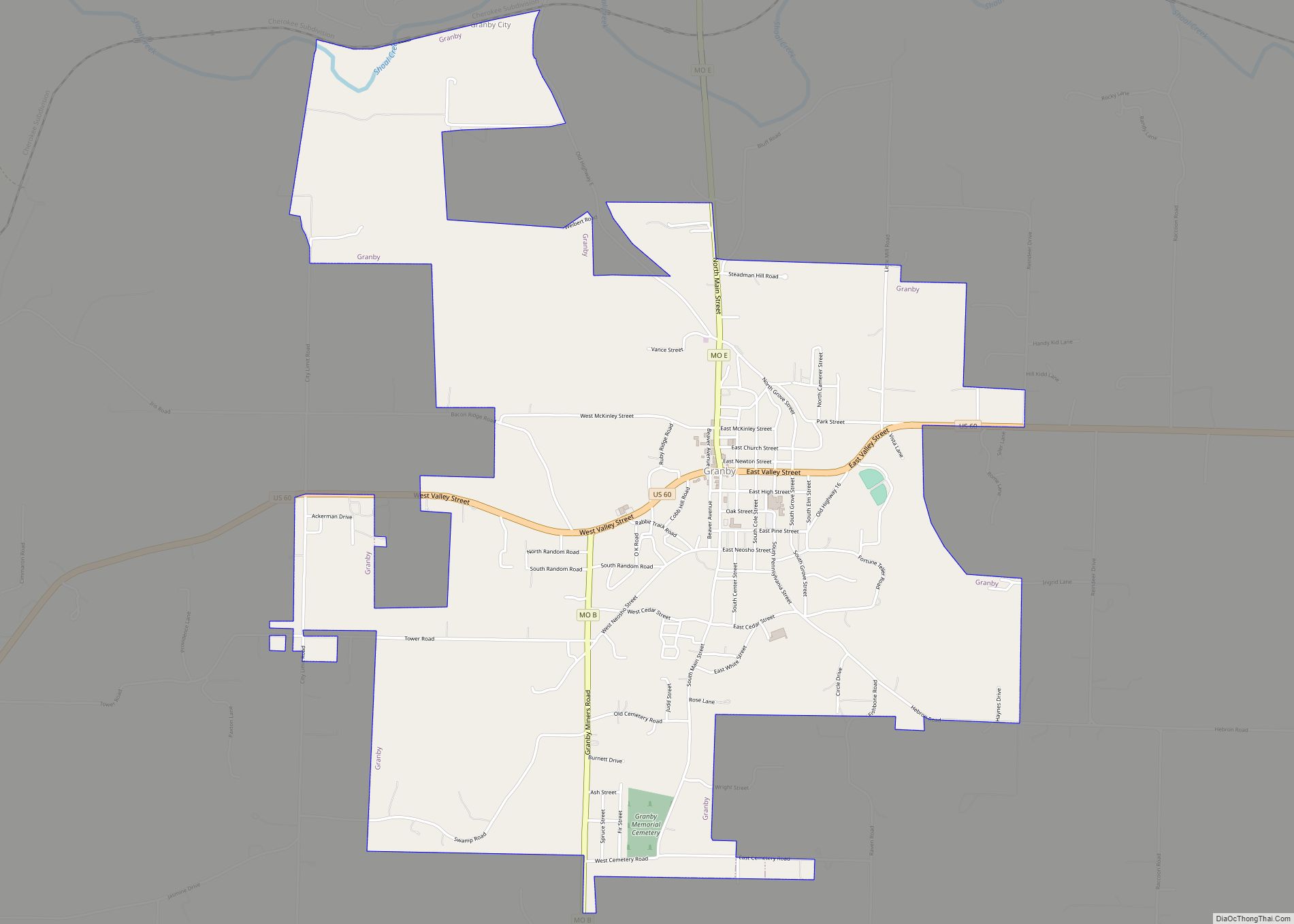
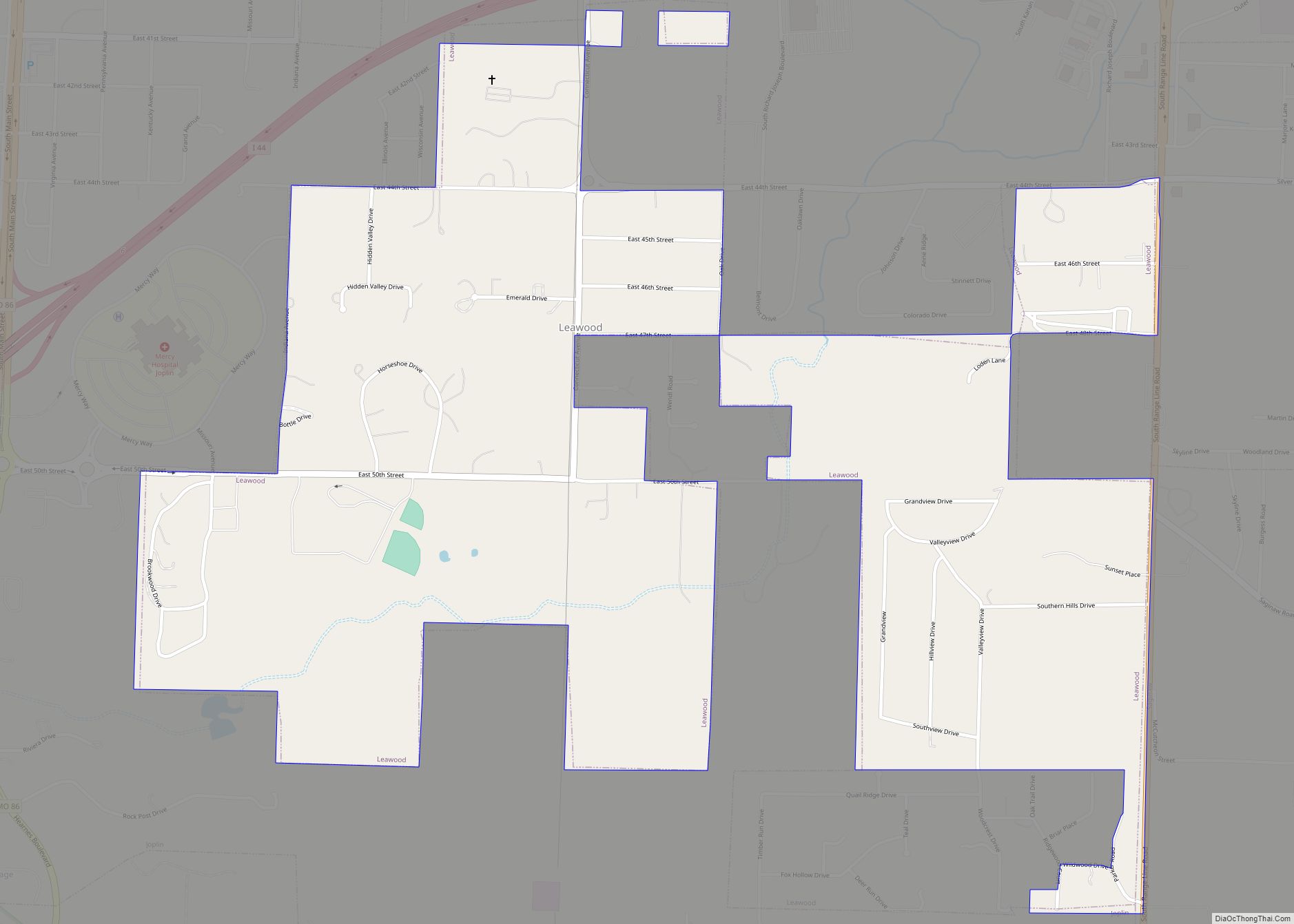
Online Interactive Map
Click on ![]() to view map in "full screen" mode.
to view map in "full screen" mode.
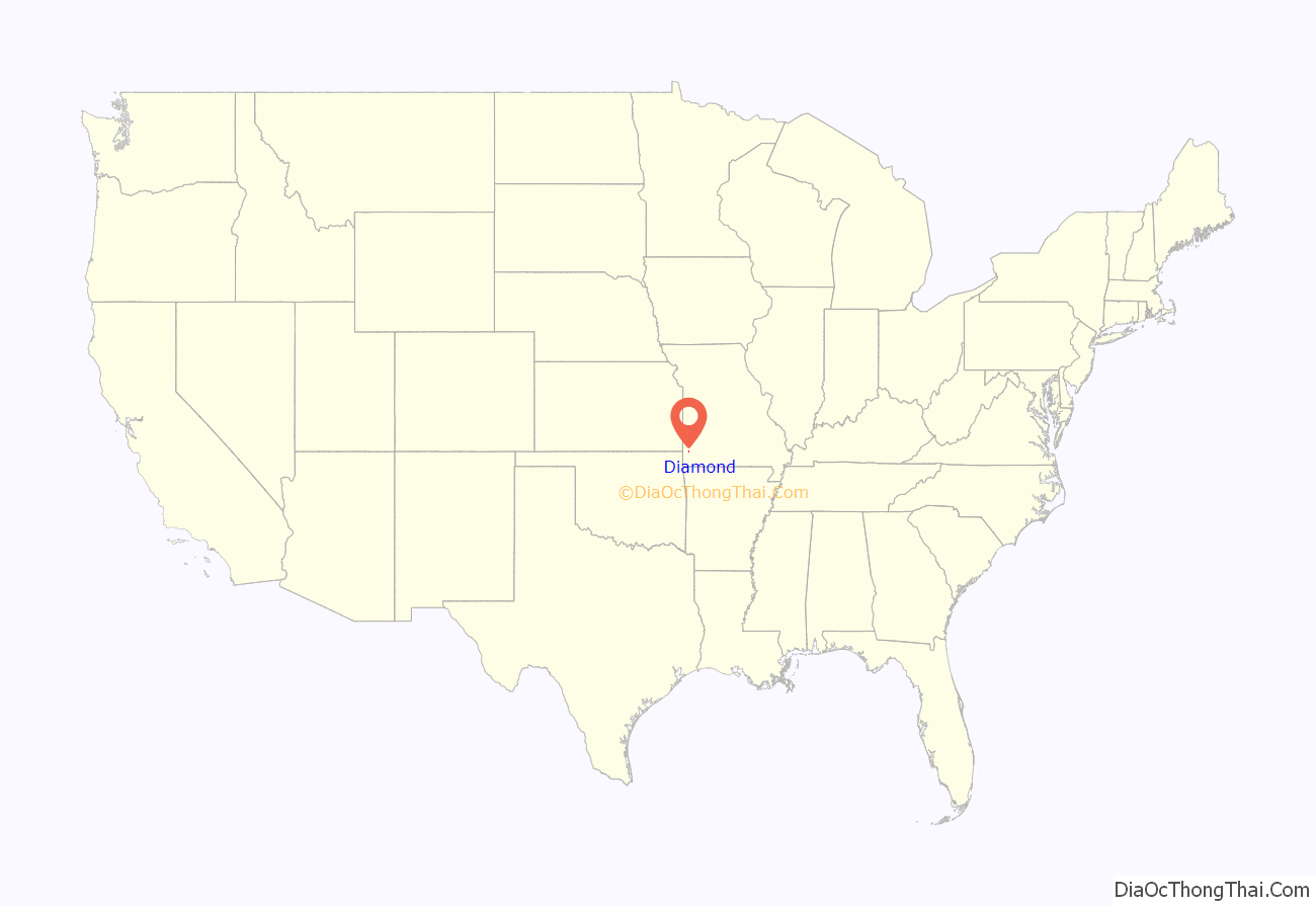
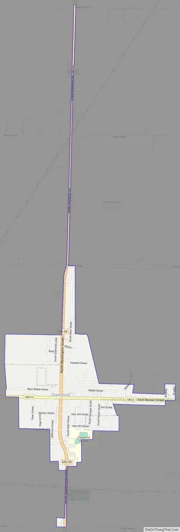
Diamond location map. Where is Diamond town?
History
The Diamond area’s origins lie in a rolling prairie grassland; large remnants of the prairie survive or are being re-seeded as the Diamond Grove Prairie Conservation Area. The origins of the town started with the building of a log house owned by Dr. and Mrs. Leathers. Initially known as Center, a blacksmith’s shop opened for business in 1878.
The town changed its name to Diamond when, in 1883, a post office came into operation. The area was named for a diamond-shaped tract of land near the original town site. Mining was historically the primary industry in Diamond.
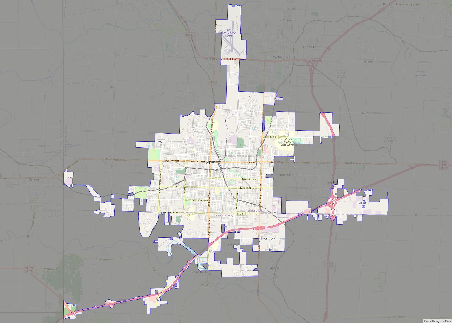
Diamond Road Map
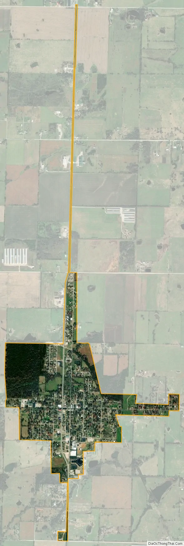
Diamond city Satellite Map
Geography
Diamond is located on Diamond Grove Prairie along Alt. Route 71 13 miles south of Carthage and about nine miles north-northeast of Neosho. The George Washington Carver National Monument is two miles to the west, south of Missouri Route V.
According to the United States Census Bureau, the city has a total area of 0.75 square miles (1.94 km), all land.
See also
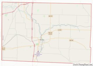
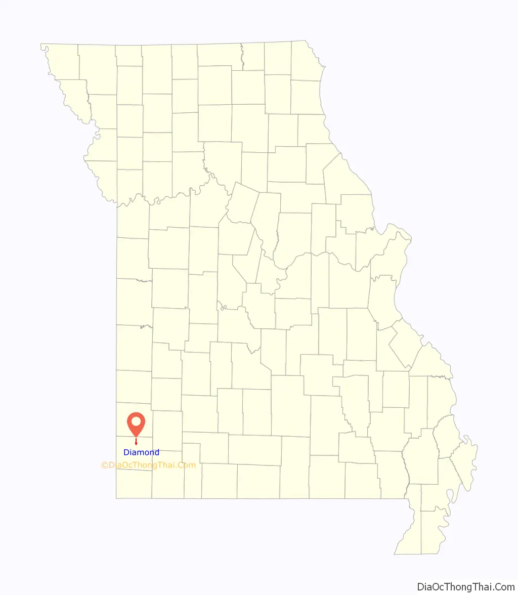
Map of Missouri State and its subdivision:- Adair
- Andrew
- Atchison
- Audrain
- Barry
- Barton
- Bates
- Benton
- Bollinger
- Boone
- Buchanan
- Butler
- Caldwell
- Callaway
- Camden
- Cape Girardeau
- Carroll
- Carter
- Cass
- Cedar
- Chariton
- Christian
- Clark
- Clay
- Clinton
- Cole
- Cooper
- Crawford
- Dade
- Dallas
- Daviess
- De Kalb
- Dent
- Douglas
- Dunklin
- Franklin
- Gasconade
- Gentry
- Greene
- Grundy
- Harrison
- Henry
- Hickory
- Holt
- Howard
- Howell
- Iron
- Jackson
- Jasper
- Jefferson
- Johnson
- Knox
- Laclede
- Lafayette
- Lawrence
- Lewis
- Lincoln
- Linn
- Livingston
- Macon
- Madison
- Maries
- Marion
- McDonald
- Mercer
- Miller
- Mississippi
- Moniteau
- Monroe
- Montgomery
- Morgan
- New Madrid
- Newton
- Nodaway
- Oregon
- Osage
- Ozark
- Pemiscot
- Perry
- Pettis
- Phelps
- Pike
- Platte
- Polk
- Pulaski
- Putnam
- Ralls
- Randolph
- Ray
- Reynolds
- Ripley
- Saint Charles
- Saint Clair
- Saint Francois
- Saint Louis
- Sainte Genevieve
- Saline
- Schuyler
- Scotland
- Scott
- Shannon
- Shelby
- Stoddard
- Stone
- Sullivan
- Taney
- Texas
- Vernon
- Warren
- Washington
- Wayne
- Webster
- Worth
- Wright
- Alabama
- Alaska
- Arizona
- Arkansas
- California
- Colorado
- Connecticut
- Delaware
- District of Columbia
- Florida
- Georgia
- Hawaii
- Idaho
- Illinois
- Indiana
- Iowa
- Kansas
- Kentucky
- Louisiana
- Maine
- Maryland
- Massachusetts
- Michigan
- Minnesota
- Mississippi
- Missouri
- Montana
- Nebraska
- Nevada
- New Hampshire
- New Jersey
- New Mexico
- New York
- North Carolina
- North Dakota
- Ohio
- Oklahoma
- Oregon
- Pennsylvania
- Rhode Island
- South Carolina
- South Dakota
- Tennessee
- Texas
- Utah
- Vermont
- Virginia
- Washington
- West Virginia
- Wisconsin
- Wyoming