East Prairie is a city in Mississippi County, Missouri, United States. The population was 2,943 at the 2020 census.
| Name: | East Prairie city |
|---|---|
| LSAD Code: | 25 |
| LSAD Description: | city (suffix) |
| State: | Missouri |
| County: | Mississippi County |
| Elevation: | 308 ft (94 m) |
| Total Area: | 1.25 sq mi (3.24 km²) |
| Land Area: | 1.25 sq mi (3.24 km²) |
| Water Area: | 0.00 sq mi (0.00 km²) |
| Total Population: | 2,943 |
| Population Density: | 2,354.40/sq mi (909.07/km²) |
| ZIP code: | 63845 |
| Area code: | 573 |
| FIPS code: | 2921052 |
| GNISfeature ID: | 2394606 |
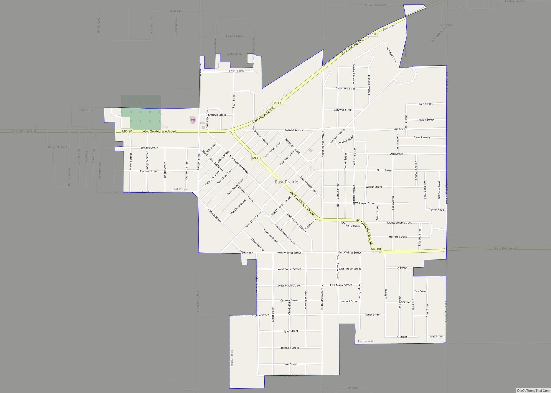
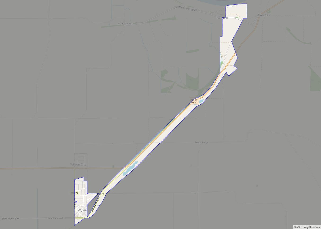
Online Interactive Map
Click on ![]() to view map in "full screen" mode.
to view map in "full screen" mode.
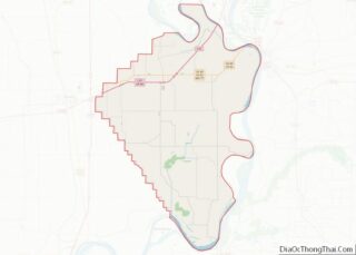
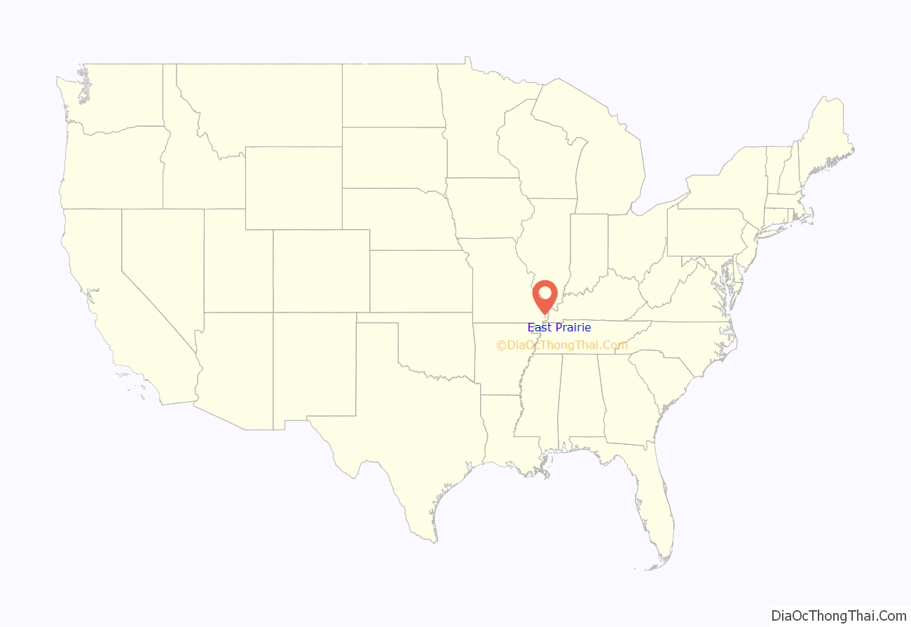
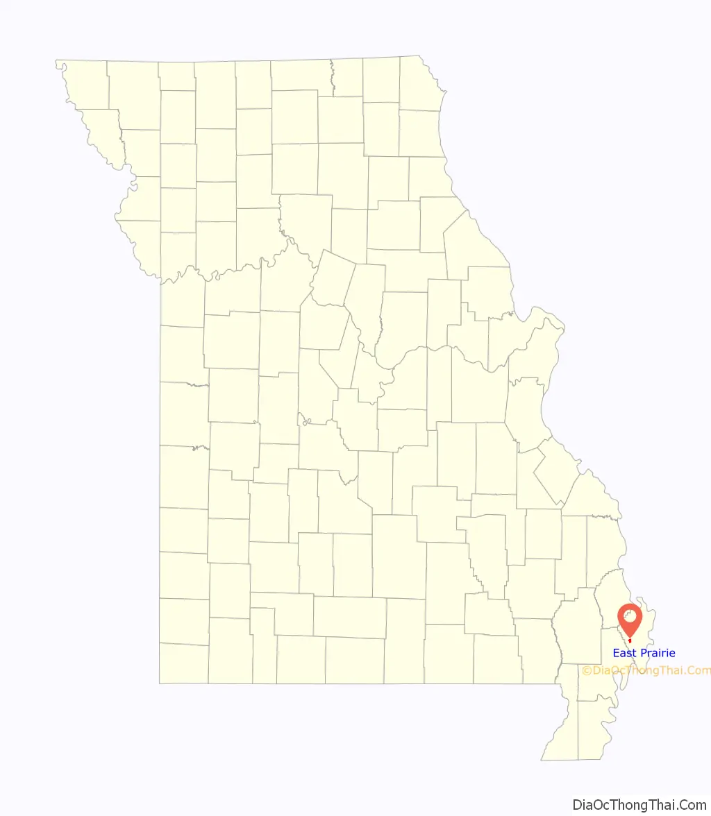
East Prairie location map. Where is East Prairie city?
History
A post office called East Prairie has been in operation since 1872. The community took its name from a prairie of the same near the original town site. The current town, which lies about a mile south of the original post office site, was established in 1883 as a stop along the St. Louis Southwestern Railway (“Cotton Belt”), and was originally known as “Hibbard.” The East Prairie postmaster, S.P. Martin, moved the post office to the new town site. By 1900, the city’s name had been changed from “Hibbard” to “East Prairie.”
Hess Archeological Site, Hoecake Village Archeological Site, and Mueller Archeological Site, some of which contain Native American burial mounds, are located near East Prairie and are listed on the National Register of Historic Places.
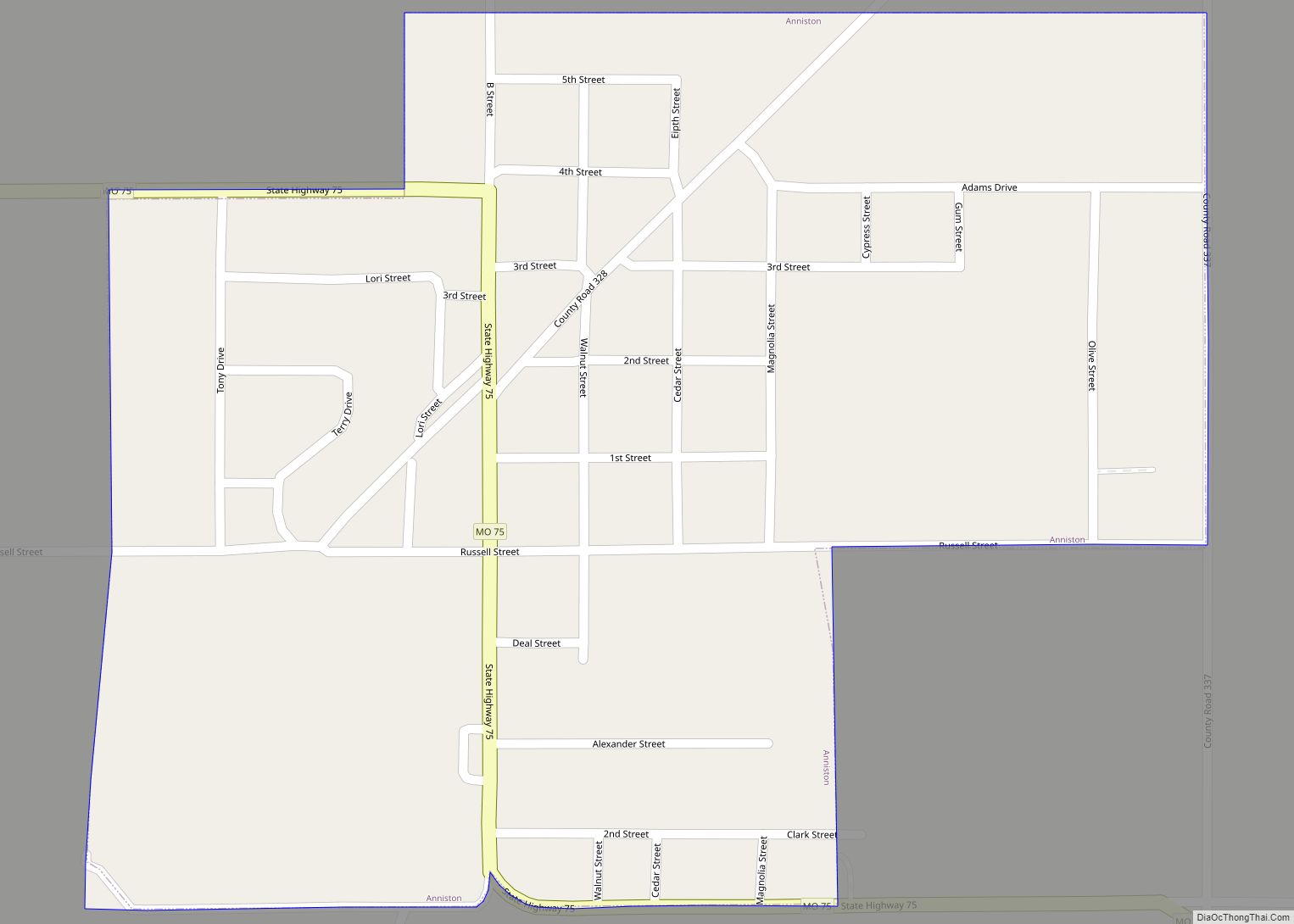
East Prairie Road Map
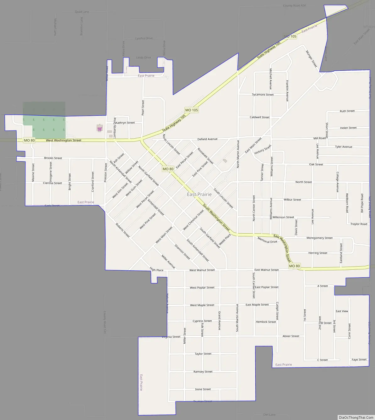
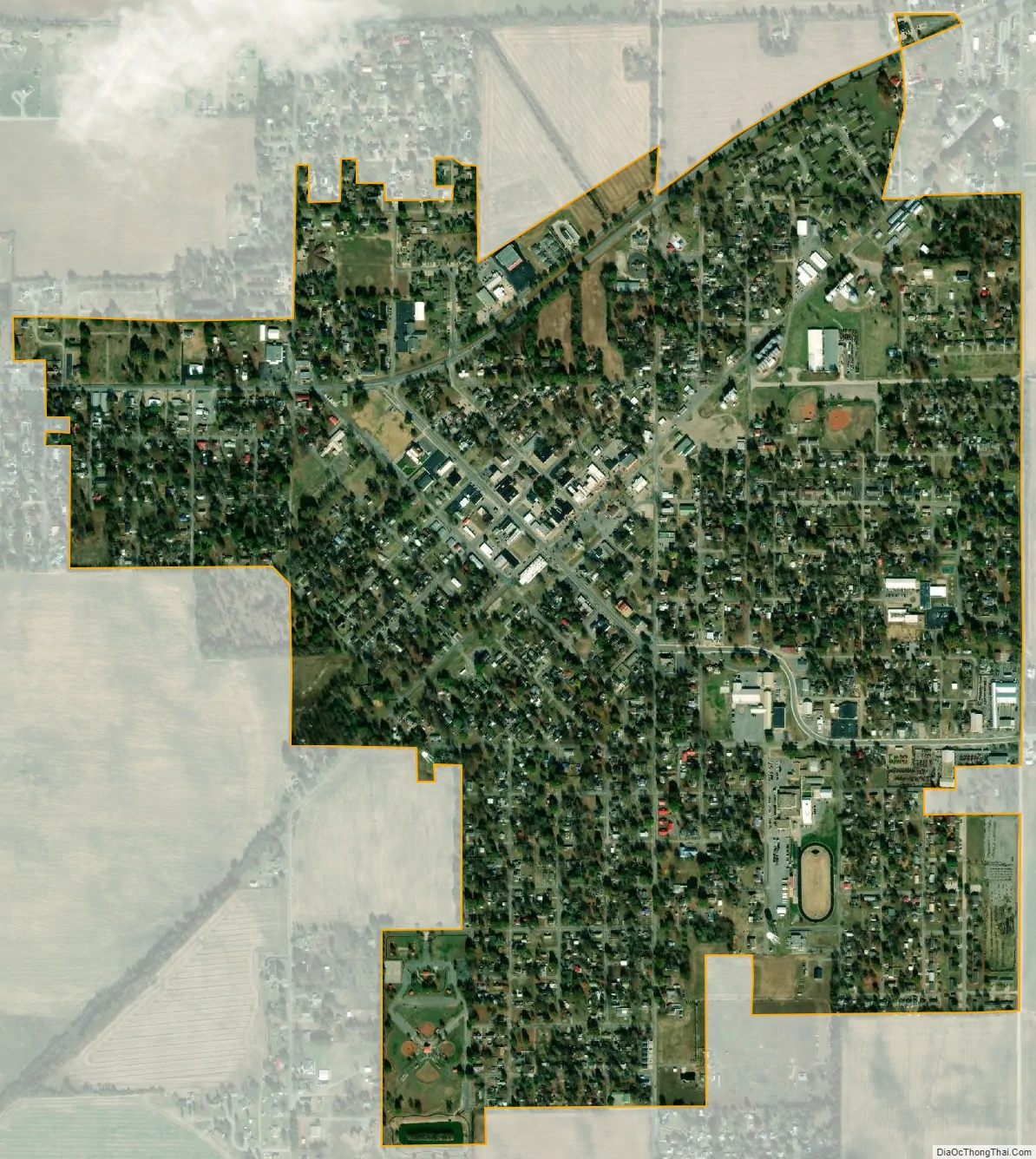
East Prairie city Satellite Map
Geography
As its name indicates, the city lies in the eastern portion of a lowland area that extends from the Ozark Plateau to the Mississippi River, covering much of the Bootheel. Missouri Route 80 connects East Prairie with Interstate 55 and Matthews to the west, and the rural areas near the Mississippi River to the east. Route 105, which intersects Route 80 in East Prairie, connects the city with Charleston to the north. The small city of Anniston is located just northeast of East Prairie.
According to the United States Census Bureau, the city has a total area of 1.29 square miles (3.34 km), all land.
See also
Map of Missouri State and its subdivision:- Adair
- Andrew
- Atchison
- Audrain
- Barry
- Barton
- Bates
- Benton
- Bollinger
- Boone
- Buchanan
- Butler
- Caldwell
- Callaway
- Camden
- Cape Girardeau
- Carroll
- Carter
- Cass
- Cedar
- Chariton
- Christian
- Clark
- Clay
- Clinton
- Cole
- Cooper
- Crawford
- Dade
- Dallas
- Daviess
- De Kalb
- Dent
- Douglas
- Dunklin
- Franklin
- Gasconade
- Gentry
- Greene
- Grundy
- Harrison
- Henry
- Hickory
- Holt
- Howard
- Howell
- Iron
- Jackson
- Jasper
- Jefferson
- Johnson
- Knox
- Laclede
- Lafayette
- Lawrence
- Lewis
- Lincoln
- Linn
- Livingston
- Macon
- Madison
- Maries
- Marion
- McDonald
- Mercer
- Miller
- Mississippi
- Moniteau
- Monroe
- Montgomery
- Morgan
- New Madrid
- Newton
- Nodaway
- Oregon
- Osage
- Ozark
- Pemiscot
- Perry
- Pettis
- Phelps
- Pike
- Platte
- Polk
- Pulaski
- Putnam
- Ralls
- Randolph
- Ray
- Reynolds
- Ripley
- Saint Charles
- Saint Clair
- Saint Francois
- Saint Louis
- Sainte Genevieve
- Saline
- Schuyler
- Scotland
- Scott
- Shannon
- Shelby
- Stoddard
- Stone
- Sullivan
- Taney
- Texas
- Vernon
- Warren
- Washington
- Wayne
- Webster
- Worth
- Wright
- Alabama
- Alaska
- Arizona
- Arkansas
- California
- Colorado
- Connecticut
- Delaware
- District of Columbia
- Florida
- Georgia
- Hawaii
- Idaho
- Illinois
- Indiana
- Iowa
- Kansas
- Kentucky
- Louisiana
- Maine
- Maryland
- Massachusetts
- Michigan
- Minnesota
- Mississippi
- Missouri
- Montana
- Nebraska
- Nevada
- New Hampshire
- New Jersey
- New Mexico
- New York
- North Carolina
- North Dakota
- Ohio
- Oklahoma
- Oregon
- Pennsylvania
- Rhode Island
- South Carolina
- South Dakota
- Tennessee
- Texas
- Utah
- Vermont
- Virginia
- Washington
- West Virginia
- Wisconsin
- Wyoming