Charleston is a city in Mississippi County, Missouri, United States. The population was 5,056 at the 2020 census. It is the county seat of Mississippi County. It is a home to a local correctional facility.
| Name: | Charleston city |
|---|---|
| LSAD Code: | 25 |
| LSAD Description: | city (suffix) |
| State: | Missouri |
| County: | Mississippi County |
| Elevation: | 322 ft (98 m) |
| Total Area: | 4.85 sq mi (12.56 km²) |
| Land Area: | 4.80 sq mi (12.42 km²) |
| Water Area: | 0.06 sq mi (0.14 km²) |
| Total Population: | 5,056 |
| Population Density: | 1,054.21/sq mi (407.07/km²) |
| ZIP code: | 63834 |
| Area code: | 573 |
| FIPS code: | 2913366 |
| GNISfeature ID: | 2393804 |
| Website: | www.charlestonmo.us |
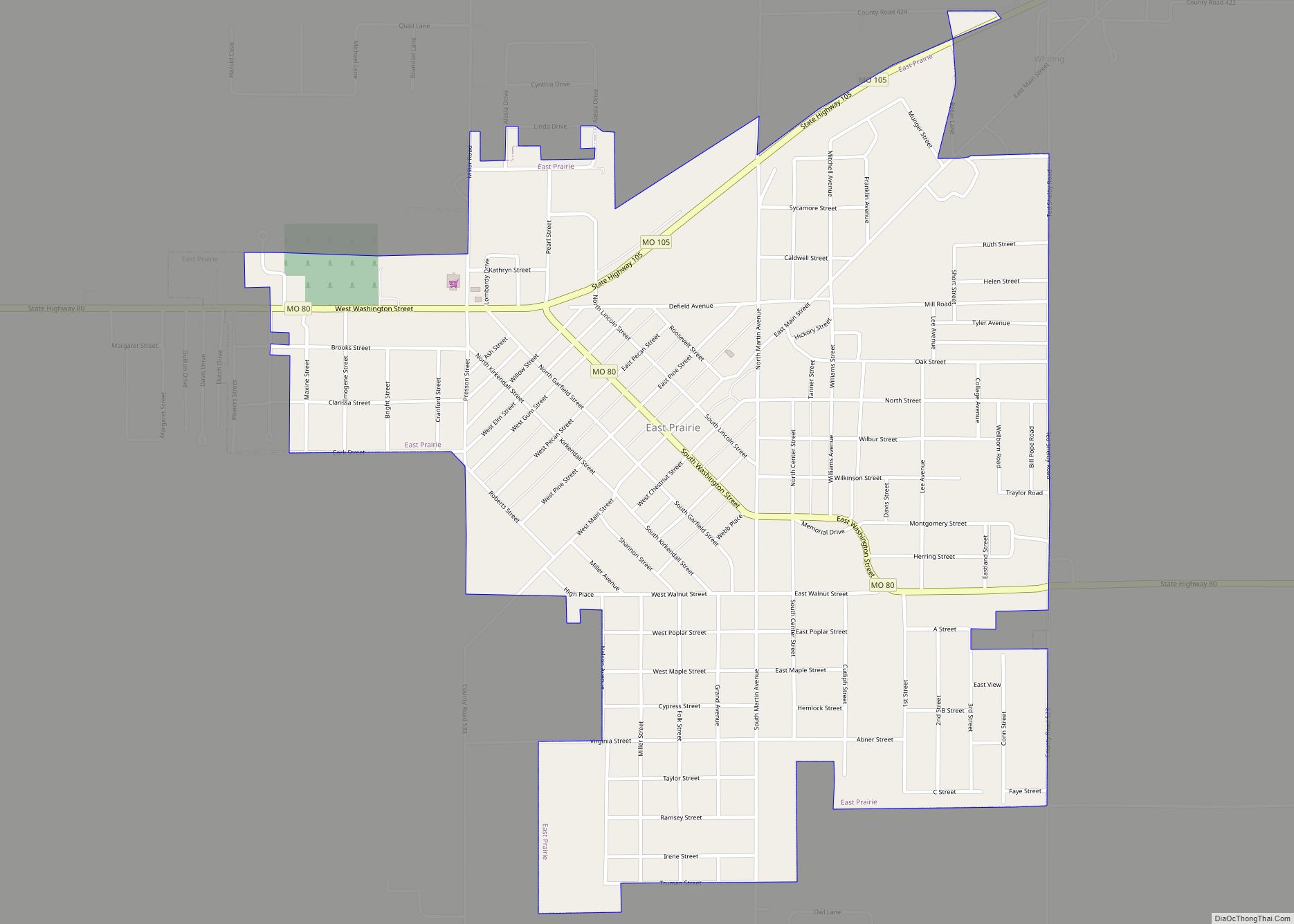
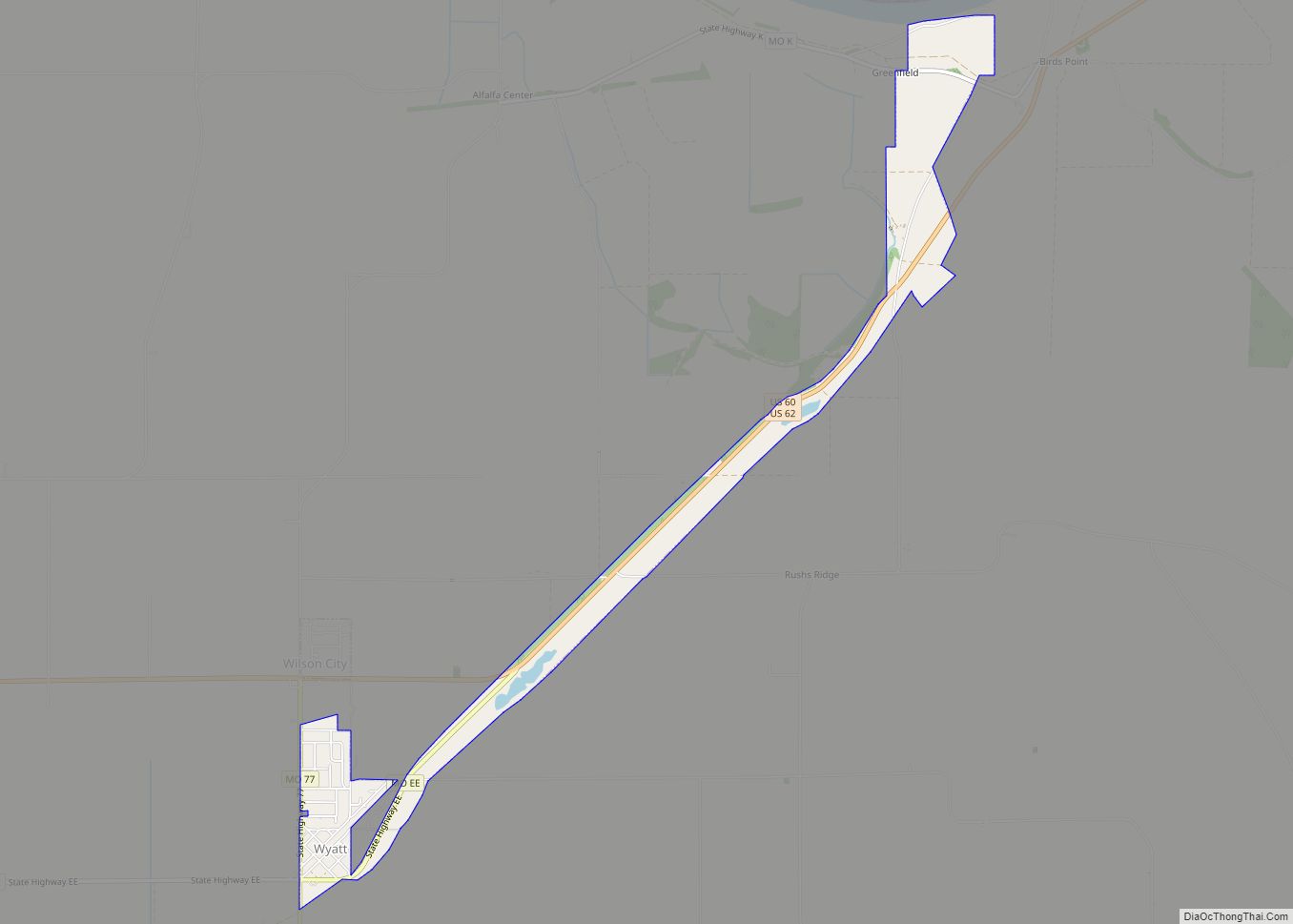
Online Interactive Map
Click on ![]() to view map in "full screen" mode.
to view map in "full screen" mode.
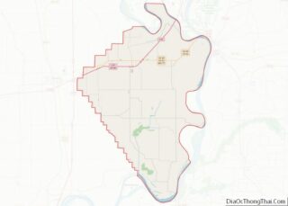
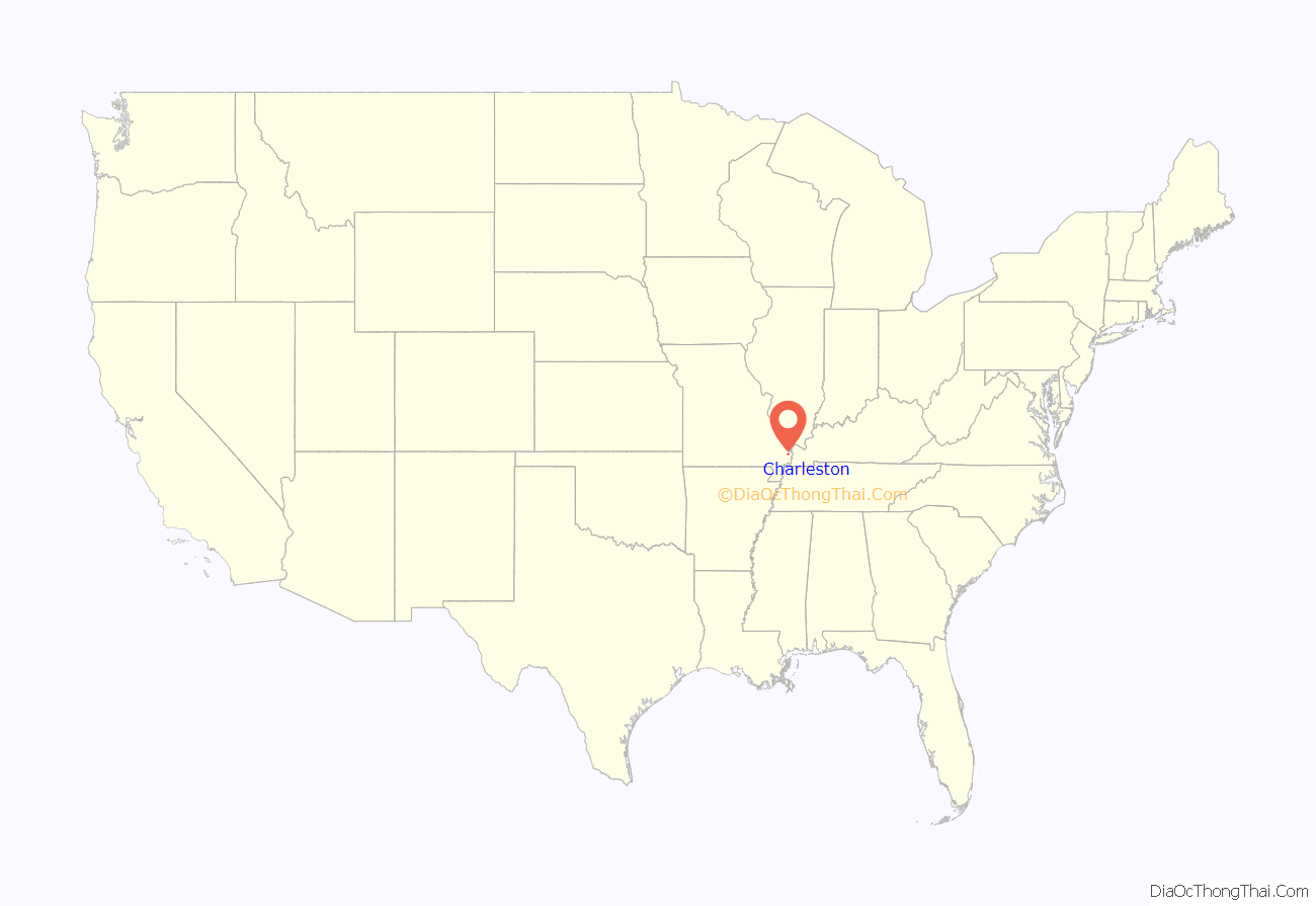
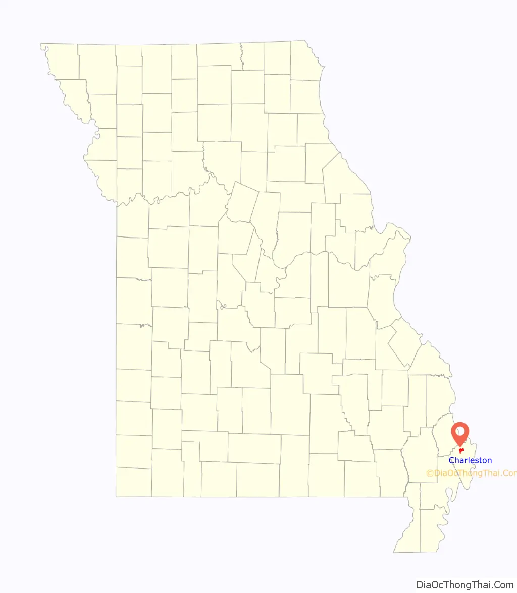
Charleston location map. Where is Charleston city?
History
Charleston is the largest town on the Missouri side near the confluence of the Mississippi and Ohio rivers at Bird’s Point (11 miles east on U.S. Route 60). Its history has been tied to traffic on the rivers.
Settlement initially occurred on the north side, in what in 1805 was called Matthews Prairie.
After purchasing 22.5 acres (91,000 m) for $337, Joseph Moore laid out Charleston in 1837. Some say the community derives its name from nearby Charles Prairie, while others believe the name is a transfer from Charleston, South Carolina. In 1845, it was selected as the county seat. A post office named Charleston has been in operation since 1847.
The Battle of Charleston was fought on August 19, 1861. Killed in the battle were one Union soldier and thirteen Missouri State Guard soldiers.
On September 1, 1861, Confederate General M. Jeff Thompson robbed the Union Bank of Charleston. Thompson, who handed the cashier a note, gave the cashier an hour to get approval from superiors to give him keys to the vault. After receiving the money, he left a receipt for $57,000 and discovered later that only $56,000 was in the bags.
The city was the epicenter of the October 31, 1895 5.9 Mfa earthquake on the New Madrid Seismic Zone. The quake damaged virtually every building in Charleston, creating sand volcanoes and cracking a pier on the Cairo Rail Bridge. In addition, chimneys toppled in St. Louis, Missouri; Memphis, Tennessee; Gadsden, Alabama; and Evansville, Indiana. The fate of specific buildings may also be traced by Sanborn maps that were produced of the town during this period. This was the largest quake since the 1812 New Madrid earthquake, which measured at 8.3 and was the biggest recorded quake in the Contiguous United States. One of the most visible signs of the quake is located south of Charleston at Henson Lake, which was greatly expanded by the quake.
In 1901, the county courthouse was built. It was designed by J.B. Legg, who designed numerous buildings throughout Missouri, including the Gasconade and St. Charles County courthouses. On February 10, 1997, the courthouse was damaged by fire and was subsequently torn down.
The Hearnes Site, Missouri Pacific Depot, Moore House, McCutchen Theatre, and Jacob Swank House are listed on the National Register of Historic Places.
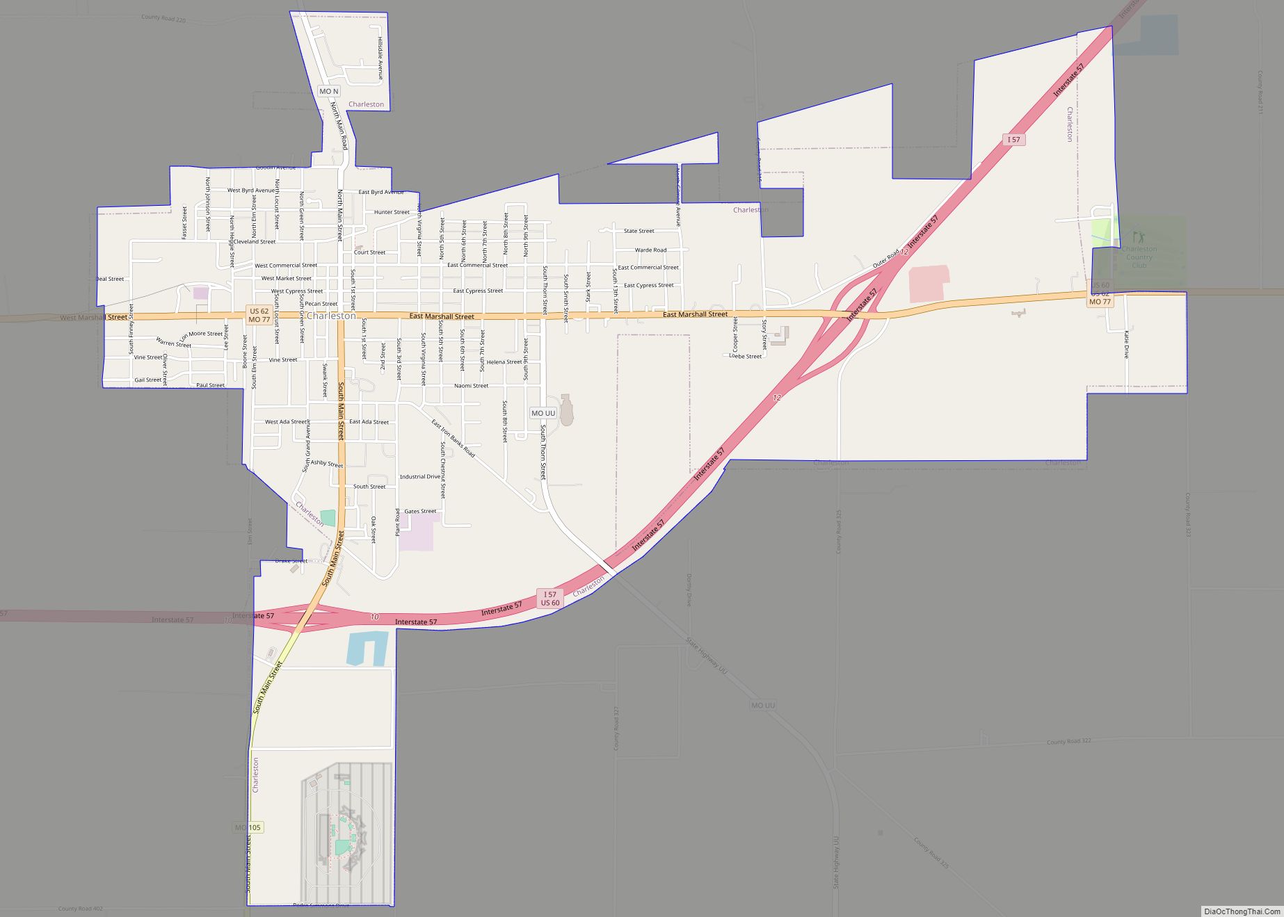
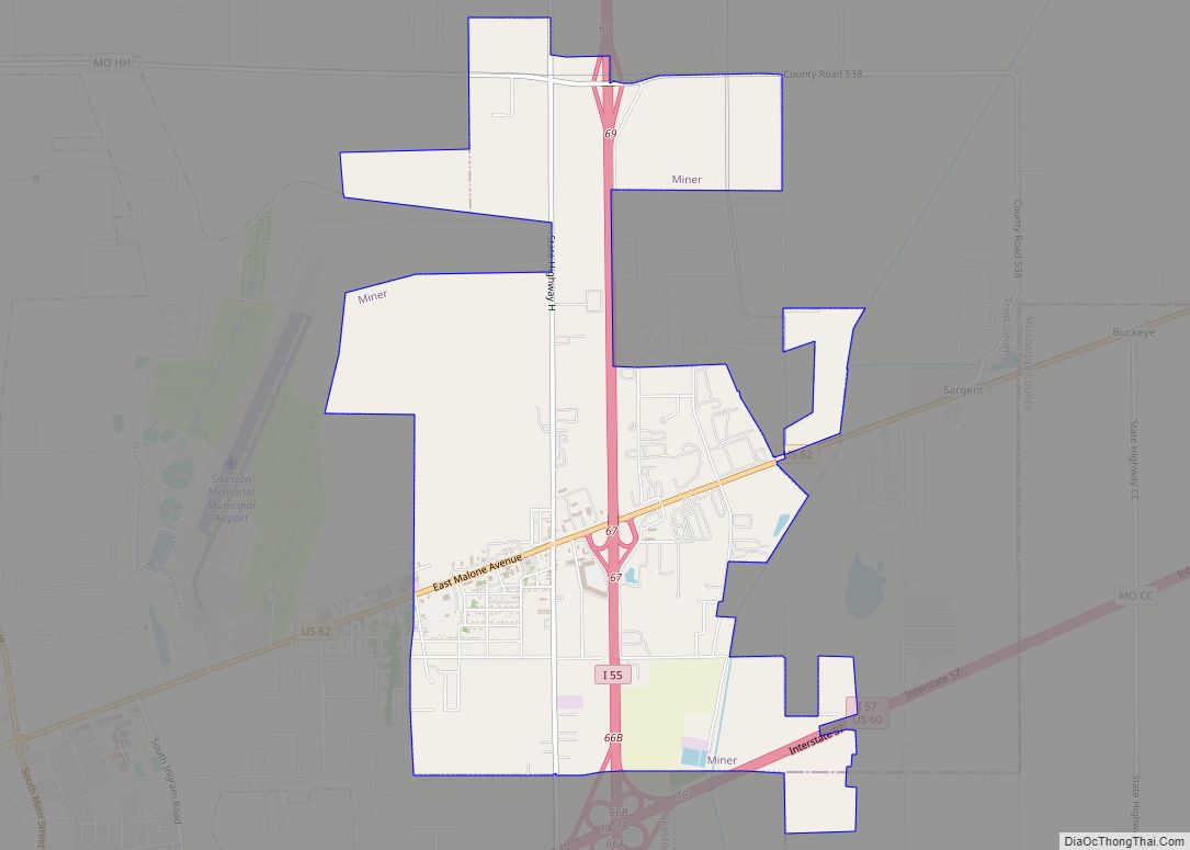
Charleston Road Map
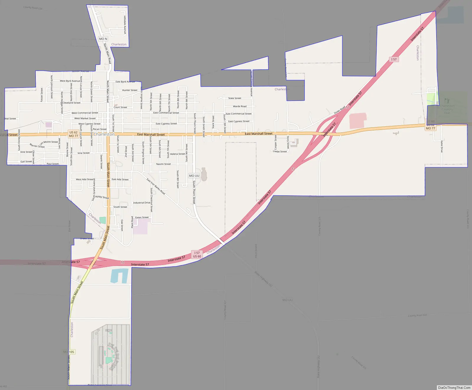
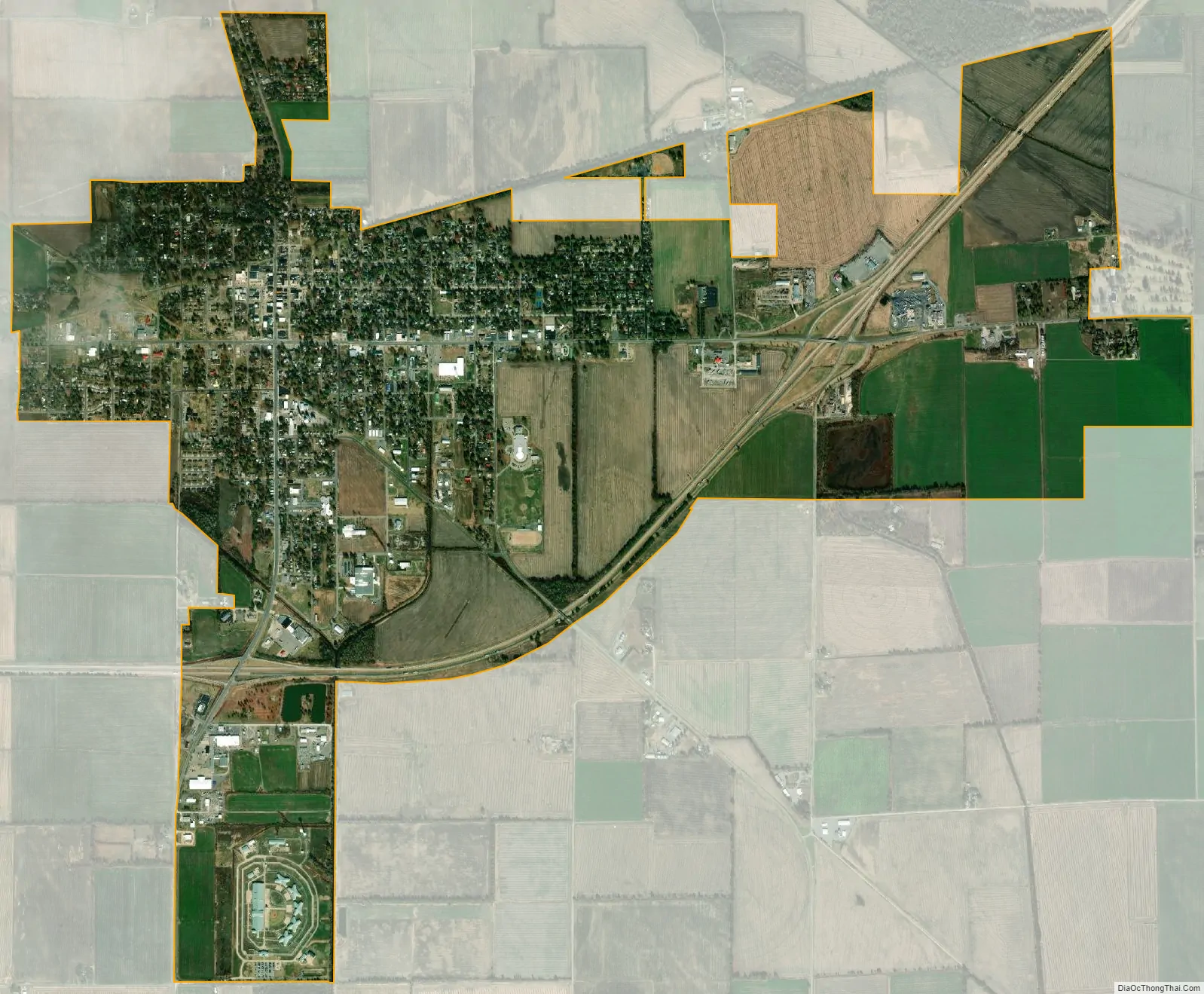
Charleston city Satellite Map
Geography
Charleston is situated in northwestern Mississippi County, a few miles west of the confluence of the Mississippi and Ohio rivers at Bird’s Point. Interstate 57 passes through Charleston, connecting it with southern Illinois across the Mississippi River to the northeast, and Interstate 55 near Sikeston to the west. U.S. Route 62 and Missouri Route 105 intersect near downtown Charleston.
According to the United States Census Bureau, the city has a total area of 4.86 square miles (12.59 km), of which 4.80 square miles (12.43 km) is land and 0.06 square miles (0.16 km) is water.
See also
Map of Missouri State and its subdivision:- Adair
- Andrew
- Atchison
- Audrain
- Barry
- Barton
- Bates
- Benton
- Bollinger
- Boone
- Buchanan
- Butler
- Caldwell
- Callaway
- Camden
- Cape Girardeau
- Carroll
- Carter
- Cass
- Cedar
- Chariton
- Christian
- Clark
- Clay
- Clinton
- Cole
- Cooper
- Crawford
- Dade
- Dallas
- Daviess
- De Kalb
- Dent
- Douglas
- Dunklin
- Franklin
- Gasconade
- Gentry
- Greene
- Grundy
- Harrison
- Henry
- Hickory
- Holt
- Howard
- Howell
- Iron
- Jackson
- Jasper
- Jefferson
- Johnson
- Knox
- Laclede
- Lafayette
- Lawrence
- Lewis
- Lincoln
- Linn
- Livingston
- Macon
- Madison
- Maries
- Marion
- McDonald
- Mercer
- Miller
- Mississippi
- Moniteau
- Monroe
- Montgomery
- Morgan
- New Madrid
- Newton
- Nodaway
- Oregon
- Osage
- Ozark
- Pemiscot
- Perry
- Pettis
- Phelps
- Pike
- Platte
- Polk
- Pulaski
- Putnam
- Ralls
- Randolph
- Ray
- Reynolds
- Ripley
- Saint Charles
- Saint Clair
- Saint Francois
- Saint Louis
- Sainte Genevieve
- Saline
- Schuyler
- Scotland
- Scott
- Shannon
- Shelby
- Stoddard
- Stone
- Sullivan
- Taney
- Texas
- Vernon
- Warren
- Washington
- Wayne
- Webster
- Worth
- Wright
- Alabama
- Alaska
- Arizona
- Arkansas
- California
- Colorado
- Connecticut
- Delaware
- District of Columbia
- Florida
- Georgia
- Hawaii
- Idaho
- Illinois
- Indiana
- Iowa
- Kansas
- Kentucky
- Louisiana
- Maine
- Maryland
- Massachusetts
- Michigan
- Minnesota
- Mississippi
- Missouri
- Montana
- Nebraska
- Nevada
- New Hampshire
- New Jersey
- New Mexico
- New York
- North Carolina
- North Dakota
- Ohio
- Oklahoma
- Oregon
- Pennsylvania
- Rhode Island
- South Carolina
- South Dakota
- Tennessee
- Texas
- Utah
- Vermont
- Virginia
- Washington
- West Virginia
- Wisconsin
- Wyoming