Edinburg (also Edinburgh) is an unincorporated community and census-designated place (CDP) in Grundy County, Missouri, United States, 5 miles (8 km) west of Trenton. As of the 2020 census, Edinburg had a population of 84.
| Name: | Edinburg CDP |
|---|---|
| LSAD Code: | 57 |
| LSAD Description: | CDP (suffix) |
| State: | Missouri |
| County: | Grundy County |
| Elevation: | 955 ft (291 m) |
| Total Area: | 1.07 sq mi (2.78 km²) |
| Land Area: | 1.07 sq mi (2.78 km²) |
| Water Area: | 0.00 sq mi (0.00 km²) |
| Total Population: | 84 |
| Population Density: | 78.29/sq mi (30.24/km²) |
| FIPS code: | 2921340 |
| GNISfeature ID: | 2587066 |
Online Interactive Map
Click on ![]() to view map in "full screen" mode.
to view map in "full screen" mode.
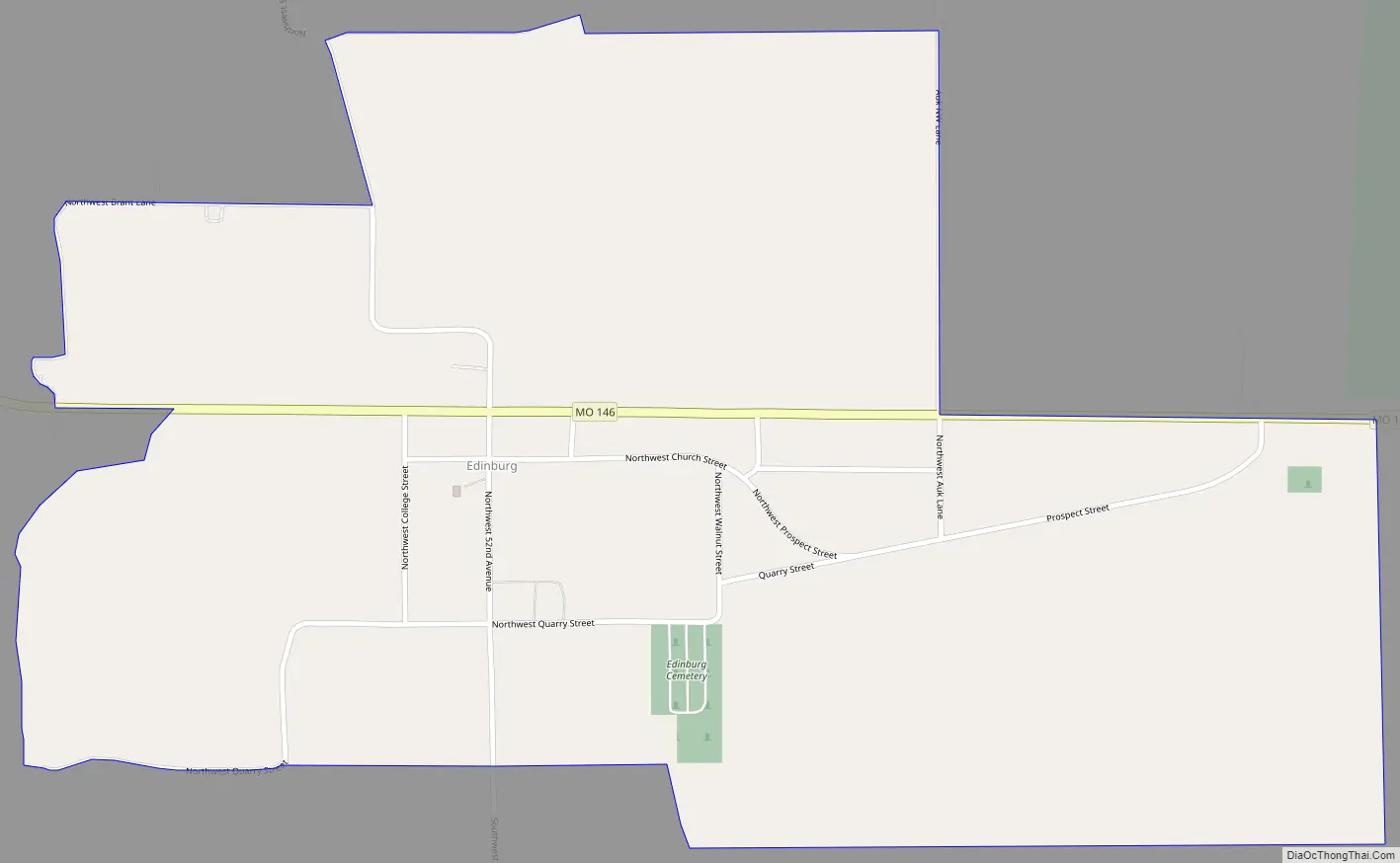
Edinburg location map. Where is Edinburg CDP?
History
The hamlet was the first in Grundy County and was called “Buck Snort” in 1838 when Grundy County’s first white settler William Preston Thompson established his house. A home of Thompson, for whom the Thompson Branch of the Grand River is named, is in nearby Crowder State Park.
A post office called Edinburg was established in 1857, and remained in operation until 1907. It is named for the Scottish city of Edinburgh.
Edinburg was home to Grand River College from 1850 until 1892 when it moved to Gallatin, Missouri, where it operated for a period under the auspices of William Jewell College before permanently closing in 1910 following a fire.
It is the birthplace of Major General Enoch Crowder of the United States Army, founder of the United States Selective Service in World War I.
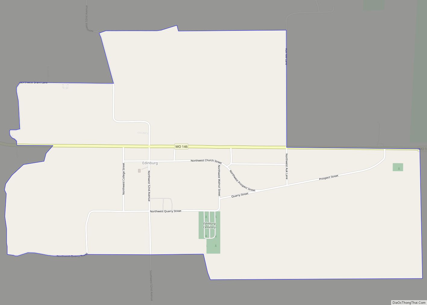
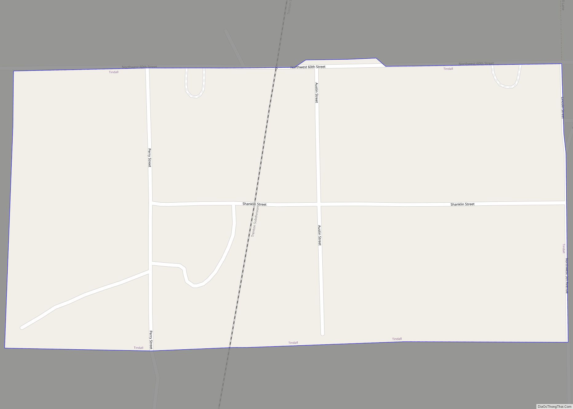
Edinburg Road Map
Edinburg city Satellite Map
See also
Map of Missouri State and its subdivision:- Adair
- Andrew
- Atchison
- Audrain
- Barry
- Barton
- Bates
- Benton
- Bollinger
- Boone
- Buchanan
- Butler
- Caldwell
- Callaway
- Camden
- Cape Girardeau
- Carroll
- Carter
- Cass
- Cedar
- Chariton
- Christian
- Clark
- Clay
- Clinton
- Cole
- Cooper
- Crawford
- Dade
- Dallas
- Daviess
- De Kalb
- Dent
- Douglas
- Dunklin
- Franklin
- Gasconade
- Gentry
- Greene
- Grundy
- Harrison
- Henry
- Hickory
- Holt
- Howard
- Howell
- Iron
- Jackson
- Jasper
- Jefferson
- Johnson
- Knox
- Laclede
- Lafayette
- Lawrence
- Lewis
- Lincoln
- Linn
- Livingston
- Macon
- Madison
- Maries
- Marion
- McDonald
- Mercer
- Miller
- Mississippi
- Moniteau
- Monroe
- Montgomery
- Morgan
- New Madrid
- Newton
- Nodaway
- Oregon
- Osage
- Ozark
- Pemiscot
- Perry
- Pettis
- Phelps
- Pike
- Platte
- Polk
- Pulaski
- Putnam
- Ralls
- Randolph
- Ray
- Reynolds
- Ripley
- Saint Charles
- Saint Clair
- Saint Francois
- Saint Louis
- Sainte Genevieve
- Saline
- Schuyler
- Scotland
- Scott
- Shannon
- Shelby
- Stoddard
- Stone
- Sullivan
- Taney
- Texas
- Vernon
- Warren
- Washington
- Wayne
- Webster
- Worth
- Wright
- Alabama
- Alaska
- Arizona
- Arkansas
- California
- Colorado
- Connecticut
- Delaware
- District of Columbia
- Florida
- Georgia
- Hawaii
- Idaho
- Illinois
- Indiana
- Iowa
- Kansas
- Kentucky
- Louisiana
- Maine
- Maryland
- Massachusetts
- Michigan
- Minnesota
- Mississippi
- Missouri
- Montana
- Nebraska
- Nevada
- New Hampshire
- New Jersey
- New Mexico
- New York
- North Carolina
- North Dakota
- Ohio
- Oklahoma
- Oregon
- Pennsylvania
- Rhode Island
- South Carolina
- South Dakota
- Tennessee
- Texas
- Utah
- Vermont
- Virginia
- Washington
- West Virginia
- Wisconsin
- Wyoming


