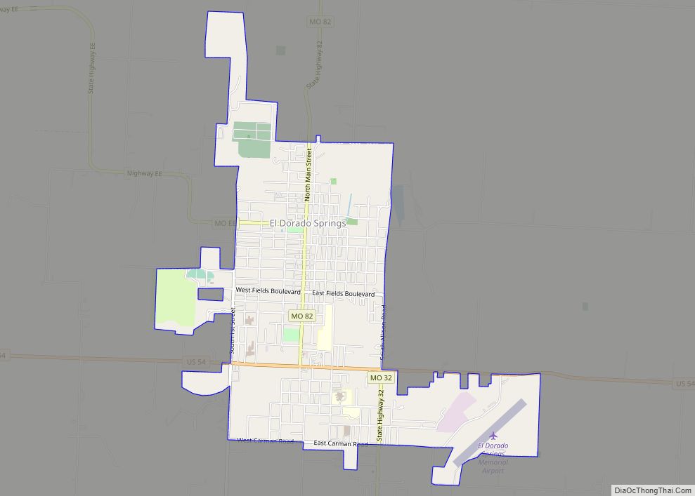
El Dorado Springs is the largest city in Cedar County, Missouri, United States. The population was 3,493 at the 2020 census.
| Name: | El Dorado Springs city |
|---|---|
| LSAD Code: | 25 |
| LSAD Description: | city (suffix) |
| State: | Missouri |
| County: | Cedar County |
| Elevation: | 902 ft (275 m) |
| Total Area: | 3.10 sq mi (8.02 km²) |
| Land Area: | 3.08 sq mi (7.98 km²) |
| Water Area: | 0.01 sq mi (0.04 km²) |
| Total Population: | 3,493 |
| Population Density: | 1,133.35/sq mi (437.58/km²) |
| ZIP code: | 64744 |
| Area code: | 417 |
| FIPS code: | 2921502 |
| GNISfeature ID: | 2394631 |
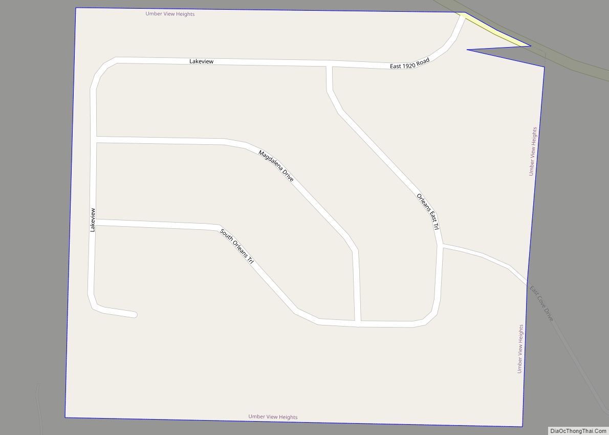
Online Interactive Map
Click on ![]() to view map in "full screen" mode.
to view map in "full screen" mode.
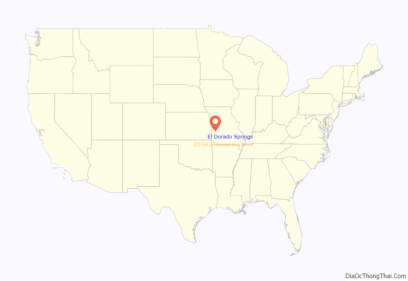
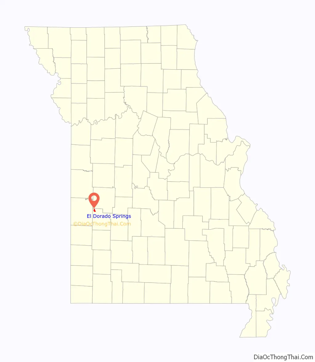
El Dorado Springs location map. Where is El Dorado Springs city?
History
El Dorado Springs was founded in 1881, near a natural spring by brothers Nathaniel and Waldo Cruce who attempted to capitalize on the namesake’s spring water. A post office has been in operation at El Dorado Springs since that year.
In the 1930s, El Dorado Springs was well known as a “Sundown Town.
El Dorado Springs Road Map
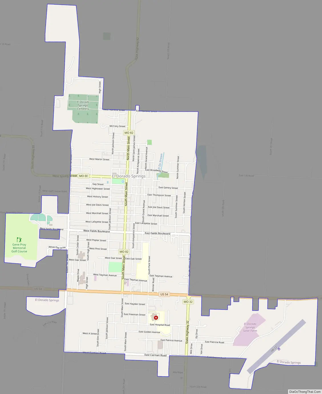
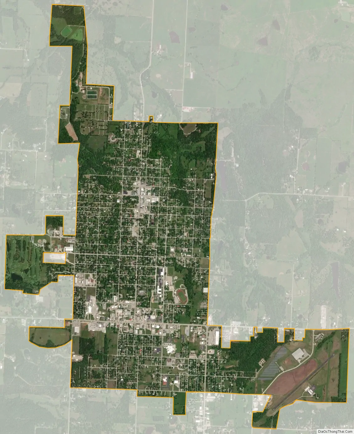
El Dorado Springs city Satellite Map
Geography
El Dorado Springs is located at 37°52′15″N 94°1′16″W / 37.87083°N 94.02111°W / 37.87083; -94.02111 (37.870872, -94.021024).
According to the United States Census Bureau, the city has a total area of 3.09 square miles (8.00 km), of which 3.08 square miles (7.98 km) is land and 0.01 square miles (0.03 km) is water.
See also
Map of Missouri State and its subdivision:- Adair
- Andrew
- Atchison
- Audrain
- Barry
- Barton
- Bates
- Benton
- Bollinger
- Boone
- Buchanan
- Butler
- Caldwell
- Callaway
- Camden
- Cape Girardeau
- Carroll
- Carter
- Cass
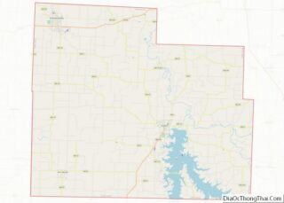
- Cedar
- Chariton
- Christian
- Clark
- Clay
- Clinton
- Cole
- Cooper
- Crawford
- Dade
- Dallas
- Daviess
- De Kalb
- Dent
- Douglas
- Dunklin
- Franklin
- Gasconade
- Gentry
- Greene
- Grundy
- Harrison
- Henry
- Hickory
- Holt
- Howard
- Howell
- Iron
- Jackson
- Jasper
- Jefferson
- Johnson
- Knox
- Laclede
- Lafayette
- Lawrence
- Lewis
- Lincoln
- Linn
- Livingston
- Macon
- Madison
- Maries
- Marion
- McDonald
- Mercer
- Miller
- Mississippi
- Moniteau
- Monroe
- Montgomery
- Morgan
- New Madrid
- Newton
- Nodaway
- Oregon
- Osage
- Ozark
- Pemiscot
- Perry
- Pettis
- Phelps
- Pike
- Platte
- Polk
- Pulaski
- Putnam
- Ralls
- Randolph
- Ray
- Reynolds
- Ripley
- Saint Charles
- Saint Clair
- Saint Francois
- Saint Louis
- Sainte Genevieve
- Saline
- Schuyler
- Scotland
- Scott
- Shannon
- Shelby
- Stoddard
- Stone
- Sullivan
- Taney
- Texas
- Vernon
- Warren
- Washington
- Wayne
- Webster
- Worth
- Wright
- Alabama
- Alaska
- Arizona
- Arkansas
- California
- Colorado
- Connecticut
- Delaware
- District of Columbia
- Florida
- Georgia
- Hawaii
- Idaho
- Illinois
- Indiana
- Iowa
- Kansas
- Kentucky
- Louisiana
- Maine
- Maryland
- Massachusetts
- Michigan
- Minnesota
- Mississippi
- Missouri
- Montana
- Nebraska
- Nevada
- New Hampshire
- New Jersey
- New Mexico
- New York
- North Carolina
- North Dakota
- Ohio
- Oklahoma
- Oregon
- Pennsylvania
- Rhode Island
- South Carolina
- South Dakota
- Tennessee
- Texas
- Utah
- Vermont
- Virginia
- Washington
- West Virginia
- Wisconsin
- Wyoming