Stockton is a city in Cedar County, Missouri, United States. The population was 1,683 at the 2020 census. It is the county seat of Cedar County.
| Name: | Stockton city |
|---|---|
| LSAD Code: | 25 |
| LSAD Description: | city (suffix) |
| State: | Missouri |
| County: | Cedar County |
| Elevation: | 974 ft (297 m) |
| Total Area: | 2.16 sq mi (5.58 km²) |
| Land Area: | 2.12 sq mi (5.48 km²) |
| Water Area: | 0.04 sq mi (0.10 km²) |
| Total Population: | 1,683 |
| Population Density: | 794.99/sq mi (306.98/km²) |
| ZIP code: | 65785 |
| Area code: | 417 |
| FIPS code: | 2970828 |
| GNISfeature ID: | 2395973 |
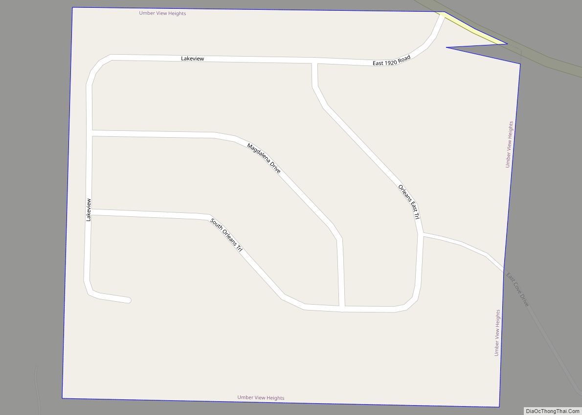
Online Interactive Map
Click on ![]() to view map in "full screen" mode.
to view map in "full screen" mode.
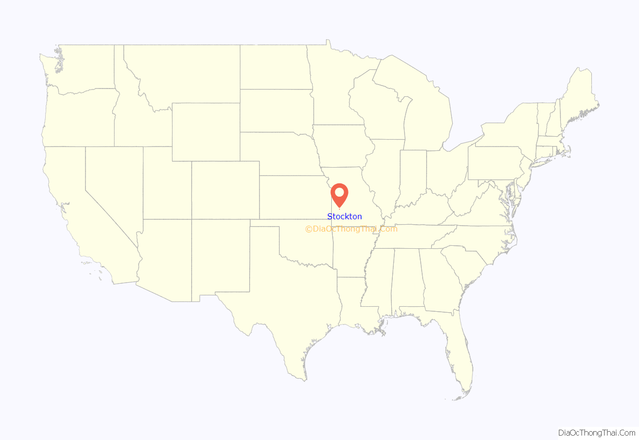
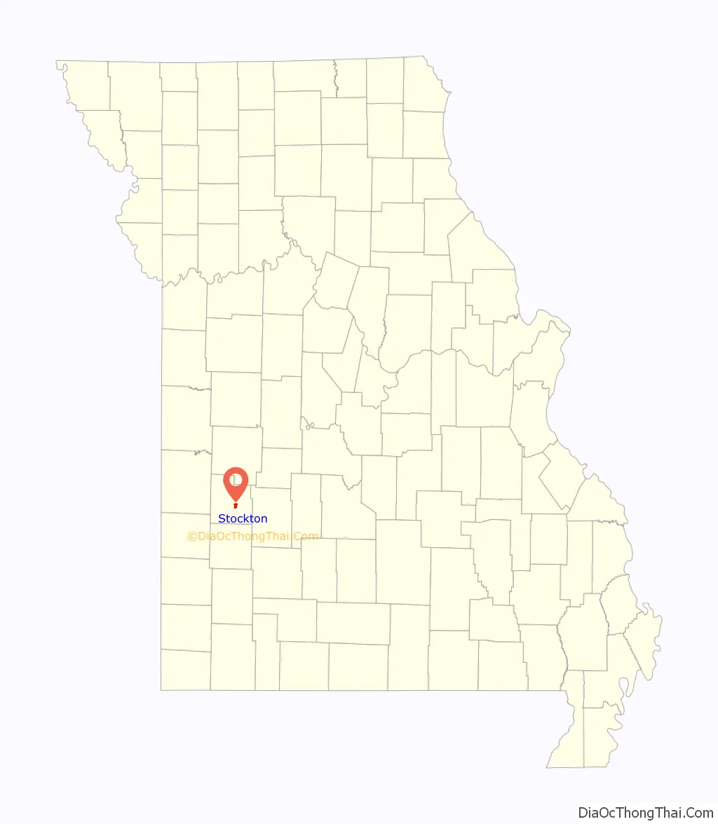
Stockton location map. Where is Stockton city?
History
Stockton was platted in 1846. It was originally named Lancaster, but was renamed Fremont in 1847 in honor of John C. Frémont. In 1857 it was renamed again, in honor of Robert F. Stockton.
The Montgomery Archeological Site and Stockton Community Building are listed on the National Register of Historic Places.
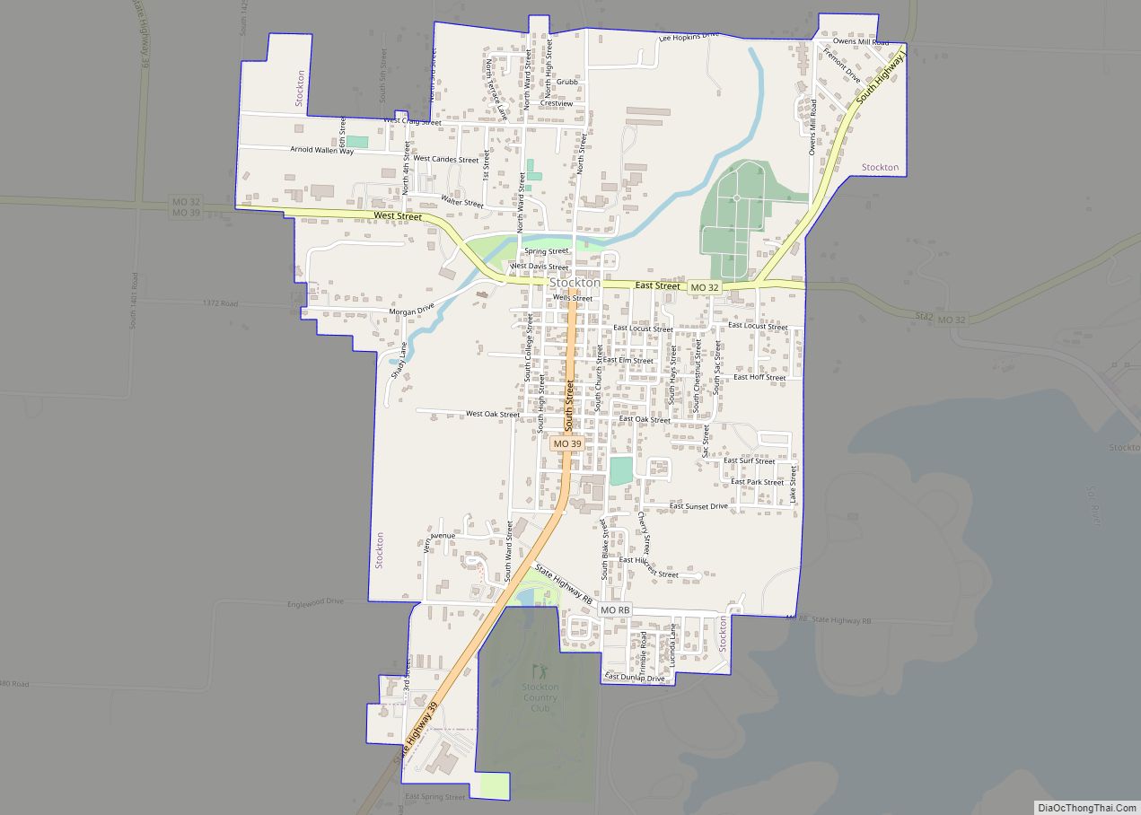
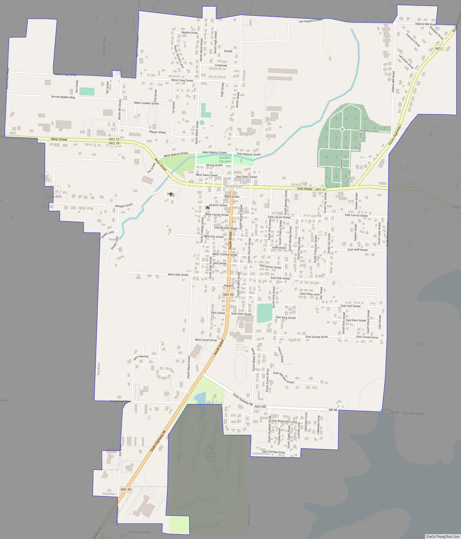
Stockton Road Map
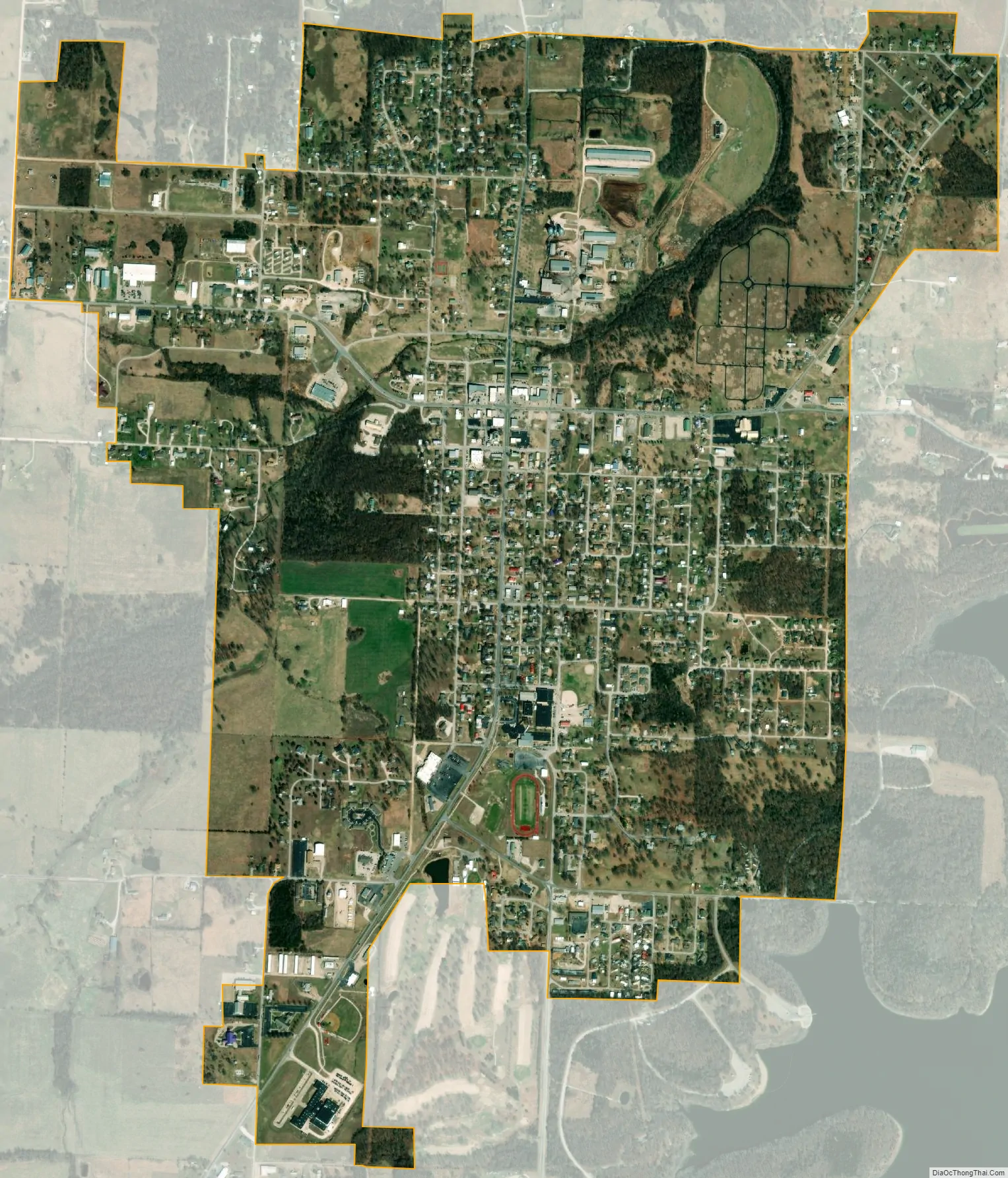
Stockton city Satellite Map
Geography
According to the United States Census Bureau, the city has a total area of 2.14 square miles (5.54 km), of which 2.10 square miles (5.44 km) is land and 0.04 square miles (0.10 km) is water.
The town lies just west of the Stockton Lake dam, approximately 40 miles (64 km) northwest of Springfield.
See also
Map of Missouri State and its subdivision:- Adair
- Andrew
- Atchison
- Audrain
- Barry
- Barton
- Bates
- Benton
- Bollinger
- Boone
- Buchanan
- Butler
- Caldwell
- Callaway
- Camden
- Cape Girardeau
- Carroll
- Carter
- Cass
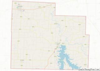
- Cedar
- Chariton
- Christian
- Clark
- Clay
- Clinton
- Cole
- Cooper
- Crawford
- Dade
- Dallas
- Daviess
- De Kalb
- Dent
- Douglas
- Dunklin
- Franklin
- Gasconade
- Gentry
- Greene
- Grundy
- Harrison
- Henry
- Hickory
- Holt
- Howard
- Howell
- Iron
- Jackson
- Jasper
- Jefferson
- Johnson
- Knox
- Laclede
- Lafayette
- Lawrence
- Lewis
- Lincoln
- Linn
- Livingston
- Macon
- Madison
- Maries
- Marion
- McDonald
- Mercer
- Miller
- Mississippi
- Moniteau
- Monroe
- Montgomery
- Morgan
- New Madrid
- Newton
- Nodaway
- Oregon
- Osage
- Ozark
- Pemiscot
- Perry
- Pettis
- Phelps
- Pike
- Platte
- Polk
- Pulaski
- Putnam
- Ralls
- Randolph
- Ray
- Reynolds
- Ripley
- Saint Charles
- Saint Clair
- Saint Francois
- Saint Louis
- Sainte Genevieve
- Saline
- Schuyler
- Scotland
- Scott
- Shannon
- Shelby
- Stoddard
- Stone
- Sullivan
- Taney
- Texas
- Vernon
- Warren
- Washington
- Wayne
- Webster
- Worth
- Wright
- Alabama
- Alaska
- Arizona
- Arkansas
- California
- Colorado
- Connecticut
- Delaware
- District of Columbia
- Florida
- Georgia
- Hawaii
- Idaho
- Illinois
- Indiana
- Iowa
- Kansas
- Kentucky
- Louisiana
- Maine
- Maryland
- Massachusetts
- Michigan
- Minnesota
- Mississippi
- Missouri
- Montana
- Nebraska
- Nevada
- New Hampshire
- New Jersey
- New Mexico
- New York
- North Carolina
- North Dakota
- Ohio
- Oklahoma
- Oregon
- Pennsylvania
- Rhode Island
- South Carolina
- South Dakota
- Tennessee
- Texas
- Utah
- Vermont
- Virginia
- Washington
- West Virginia
- Wisconsin
- Wyoming