Ellington is a city in Reynolds County, Missouri, United States. The population was 790 at the 2020 census. In 1925, the infamous Tri-State Tornado began just northwest of Ellington.
| Name: | Ellington city |
|---|---|
| LSAD Code: | 25 |
| LSAD Description: | city (suffix) |
| State: | Missouri |
| County: | Reynolds County |
| Elevation: | 732 ft (223 m) |
| Total Area: | 1.46 sq mi (3.79 km²) |
| Land Area: | 1.46 sq mi (3.79 km²) |
| Water Area: | 0.00 sq mi (0.00 km²) |
| Total Population: | 790 |
| Population Density: | 540.36/sq mi (208.65/km²) |
| ZIP code: | 63638 |
| Area code: | 573 |
| FIPS code: | 2921844 |
| GNISfeature ID: | 2394662 |
Online Interactive Map
Click on ![]() to view map in "full screen" mode.
to view map in "full screen" mode.
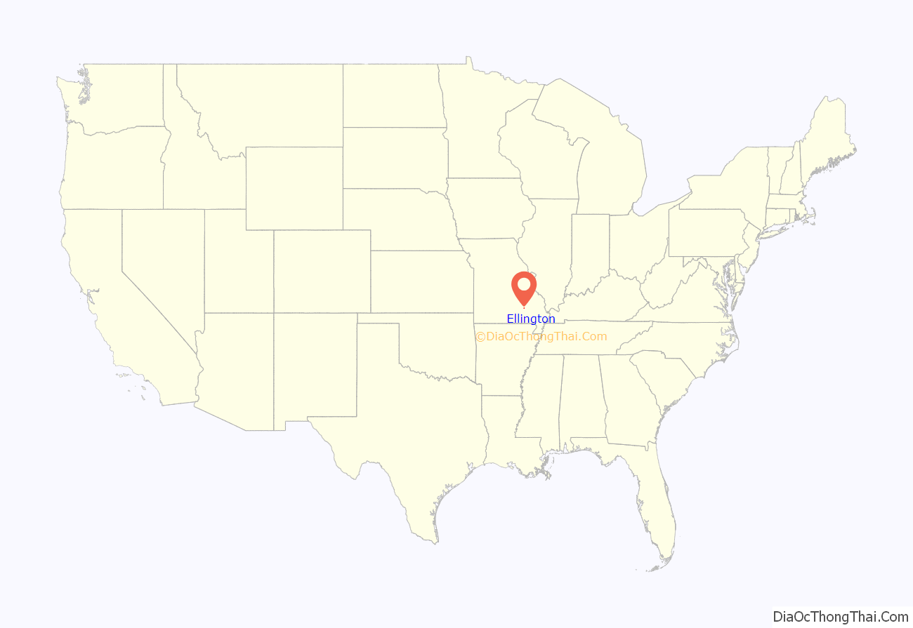
Ellington location map. Where is Ellington city?
History
Ellington, formerly known as Barnesville, was renamed in 1856 for Sina Huff Ellington, who permitted a railroad line to be extended through her family’s farmland. An early variant name was “Logan’s Creek”. A post office called Logan’s Creek was established in 1845, and the name was changed to Ellington in 1895.
The Civil War Fortification at Barnesville was listed on the National Register of Historic Places in 1998.
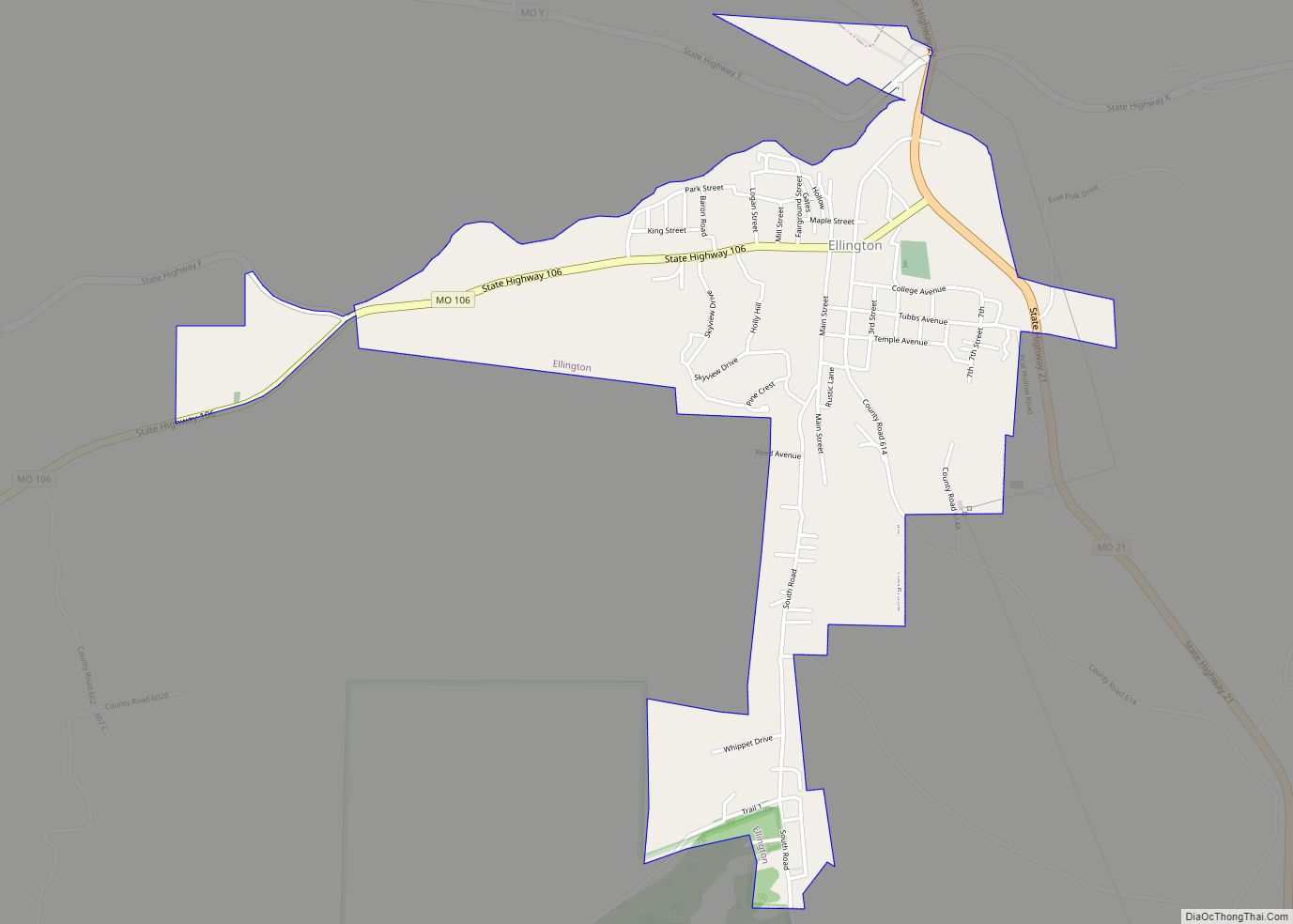
Ellington Road Map
Ellington city Satellite Map
Geography
According to the United States Census Bureau, the city has a total area of 1.38 square miles (3.57 km), all land. Being located within thirty miles of Eminence, Van Buren and Lesterville makes Ellington a popular stop among Ozark National Scenic Riverways tourists.
Sweetwater lead mine
The Sweetwater Mine is located approximately 12 miles northwest of Ellington and is owned by the Doe Run Company. The mine produces lead and zinc.
See also
Map of Missouri State and its subdivision:- Adair
- Andrew
- Atchison
- Audrain
- Barry
- Barton
- Bates
- Benton
- Bollinger
- Boone
- Buchanan
- Butler
- Caldwell
- Callaway
- Camden
- Cape Girardeau
- Carroll
- Carter
- Cass
- Cedar
- Chariton
- Christian
- Clark
- Clay
- Clinton
- Cole
- Cooper
- Crawford
- Dade
- Dallas
- Daviess
- De Kalb
- Dent
- Douglas
- Dunklin
- Franklin
- Gasconade
- Gentry
- Greene
- Grundy
- Harrison
- Henry
- Hickory
- Holt
- Howard
- Howell
- Iron
- Jackson
- Jasper
- Jefferson
- Johnson
- Knox
- Laclede
- Lafayette
- Lawrence
- Lewis
- Lincoln
- Linn
- Livingston
- Macon
- Madison
- Maries
- Marion
- McDonald
- Mercer
- Miller
- Mississippi
- Moniteau
- Monroe
- Montgomery
- Morgan
- New Madrid
- Newton
- Nodaway
- Oregon
- Osage
- Ozark
- Pemiscot
- Perry
- Pettis
- Phelps
- Pike
- Platte
- Polk
- Pulaski
- Putnam
- Ralls
- Randolph
- Ray
- Reynolds
- Ripley
- Saint Charles
- Saint Clair
- Saint Francois
- Saint Louis
- Sainte Genevieve
- Saline
- Schuyler
- Scotland
- Scott
- Shannon
- Shelby
- Stoddard
- Stone
- Sullivan
- Taney
- Texas
- Vernon
- Warren
- Washington
- Wayne
- Webster
- Worth
- Wright
- Alabama
- Alaska
- Arizona
- Arkansas
- California
- Colorado
- Connecticut
- Delaware
- District of Columbia
- Florida
- Georgia
- Hawaii
- Idaho
- Illinois
- Indiana
- Iowa
- Kansas
- Kentucky
- Louisiana
- Maine
- Maryland
- Massachusetts
- Michigan
- Minnesota
- Mississippi
- Missouri
- Montana
- Nebraska
- Nevada
- New Hampshire
- New Jersey
- New Mexico
- New York
- North Carolina
- North Dakota
- Ohio
- Oklahoma
- Oregon
- Pennsylvania
- Rhode Island
- South Carolina
- South Dakota
- Tennessee
- Texas
- Utah
- Vermont
- Virginia
- Washington
- West Virginia
- Wisconsin
- Wyoming


