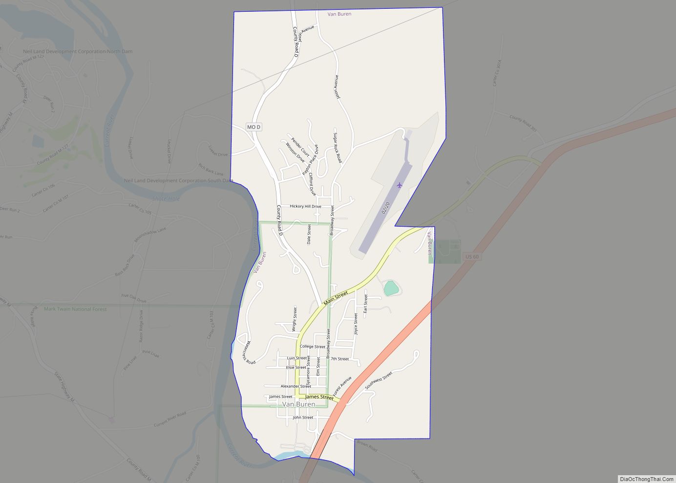
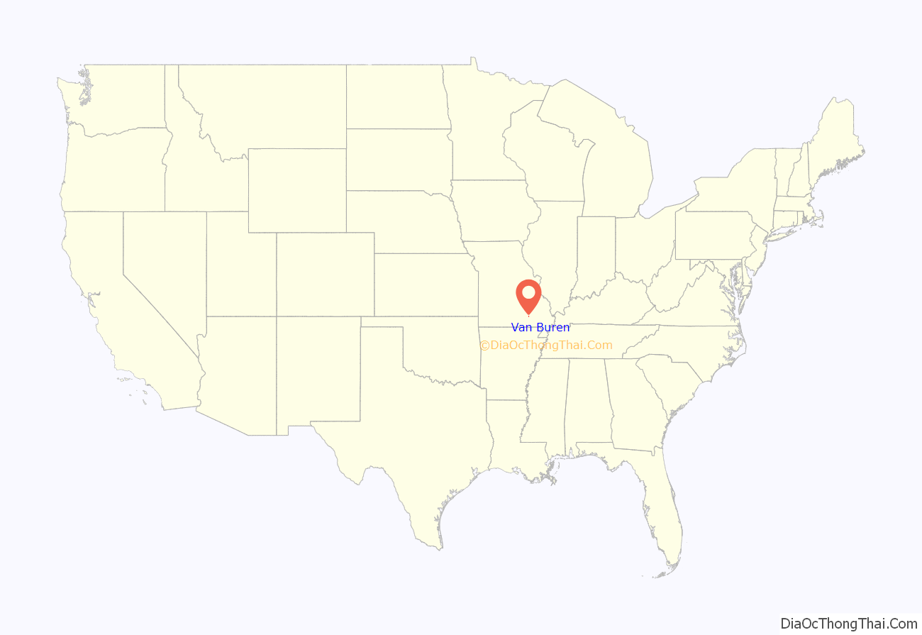
Van Buren is a city in Carter County, Missouri, United States. It is the county seat and largest city in Carter County. Van Buren was founded in 1833 as the county seat of Ripley County and was named after then Vice President of the United States, Martin Van Buren. In 1859, Van Buren became a part of the newly created Carter County and was subsequently selected to be the county seat. The 2020 U.S. Census showed Van Buren with a population of 747.
| Name: | Van Buren town |
|---|---|
| LSAD Code: | 43 |
| LSAD Description: | town (suffix) |
| State: | Missouri |
| County: | Carter County |
| Elevation: | 472 ft (144 m) |
| Total Area: | 2.00 sq mi (5.18 km²) |
| Land Area: | 2.00 sq mi (5.18 km²) |
| Water Area: | 0.00 sq mi (0.01 km²) |
| Total Population: | 747 |
| Population Density: | 373.69/sq mi (144.28/km²) |
| ZIP code: | 63965 |
| Area code: | 573 |
| FIPS code: | 2975580 |
| GNISfeature ID: | 0752687 |
Online Interactive Map
Click on ![]() to view map in "full screen" mode.
to view map in "full screen" mode.
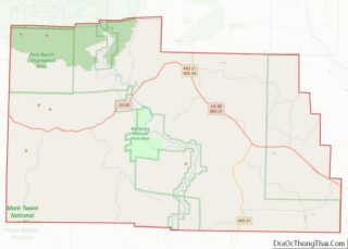
Van Buren location map. Where is Van Buren town?

History
In 1833, a commission appointed for the purpose of choosing a site for the county seat of Ripley County selected a site one-half mile (0.8 km) west and across Current River from the present location of Van Buren. They named the new county seat Van Buren after the then Vice President of the United States, Martin Van Buren. A courthouse was built and a small city grew up around it. The city had one small general merchandise store run by a man named Shaw and a water powered grist mill owned by John George.
Van Buren remained the county seat of Ripley County until 1847, when the county seat was moved south to the town of Doniphan. After the removal of the county seat to Doniphan, the town declined until only three or four families remained.
On March 10, 1859, Van Buren became part of the newly created Carter County and on April 4 of that year, Van Buren was selected to be the county seat of Carter County.
In 1867 the present site of Van Buren, located about one-half mile (0.8 km) east and across the river from the original site, was purchased from Zimri A. Carter. Fifty acres (20 ha) of land were purchased from Zimri A. Carter for $475 and the deed given to Carter County commissioner James Snider. The first building to be built, even before the new city site was fully laid out, was a log court house located somewhat west of the current courthouse.
In 1874 the Vidette, a newspaper published by Dr. McDonald, began a brief run of only a few months before it folded. In 1876, another newspaper, the Times, published by Tom Brown and James Moseley, was published until 1884, at which time it was merged with the Current Local, which was established by Clay Moseley that same year, and which is now Carter County’s only locally published newspaper.
In 1893–94, the first bridge to cross the Current River was built at Van Buren at a total cost of $4,500. It was a suspension bridge and a toll of 5 cents per person and 15 cents for a team and wagon was charged for crossing it.
In 1901 the Carter County Bank, later known as the Carter County State Bank, was instituted in Van Buren.
In 1907, the company of Pitman and Henry began a motorboat passenger service up and down the Current River between Van Buren and Doniphan.
Sometime after 1907 the lines of the Willow Springs Local Long Distance Phone Company reached Van Buren bringing phone service to Van Buren.
In 1909, a structural steel bridge was built across the Current River at a total cost of approximately $9,000. This bridge was destroyed by a flood in 1915. The bridge was rebuilt at a cost of $15,000 and served the community until 1926, when a new $200,000 bridge was completed. Route 16, later to become U.S. Highway 60, crossed this bridge.
In 1927, electricity first came to Van Buren. The electricity was produced by a generator plant at Van Buren until 1934, at which time electricity generated by plants at Joplin and Lebanon was brought into the city.
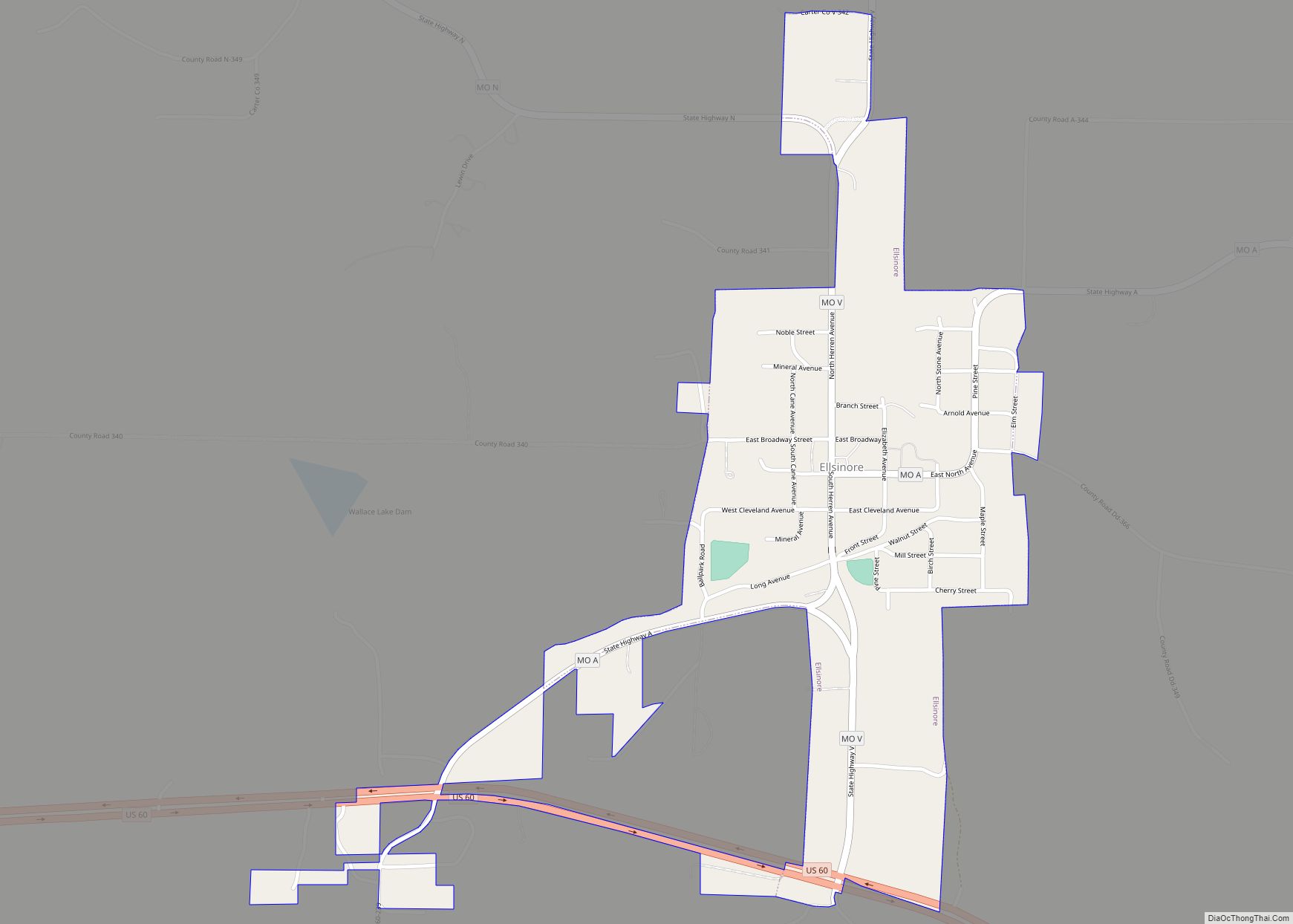
Van Buren Road Map

Van Buren city Satellite Map

Geography
Van Buren is located in northern Carter County at the intersection of US Route 60 and Missouri Route 103. It is on the Current River and adjacent to the Mark Twain National Forest.
According to the United States Census Bureau, the city has a total area of 2.00 square miles (5.18 km), all land.
See also
Map of Missouri State and its subdivision:- Adair
- Andrew
- Atchison
- Audrain
- Barry
- Barton
- Bates
- Benton
- Bollinger
- Boone
- Buchanan
- Butler
- Caldwell
- Callaway
- Camden
- Cape Girardeau
- Carroll
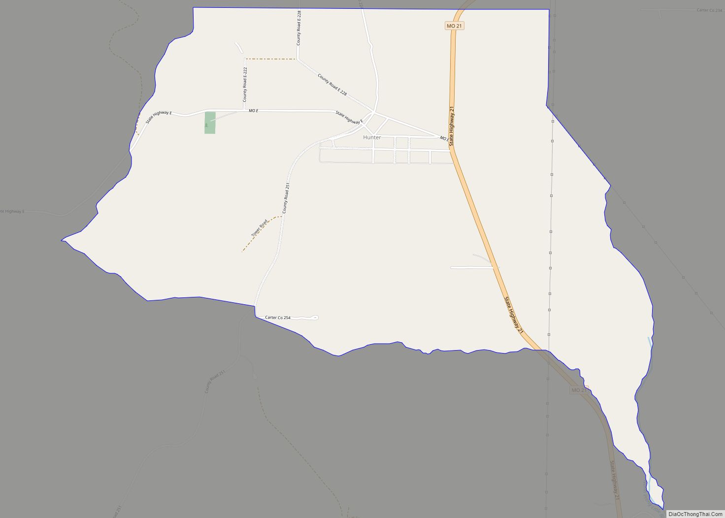
- Carter
- Cass
- Cedar
- Chariton
- Christian
- Clark
- Clay
- Clinton
- Cole
- Cooper
- Crawford
- Dade
- Dallas
- Daviess
- De Kalb
- Dent
- Douglas
- Dunklin
- Franklin
- Gasconade
- Gentry
- Greene
- Grundy
- Harrison
- Henry
- Hickory
- Holt
- Howard
- Howell
- Iron
- Jackson
- Jasper
- Jefferson
- Johnson
- Knox
- Laclede
- Lafayette
- Lawrence
- Lewis
- Lincoln
- Linn
- Livingston
- Macon
- Madison
- Maries
- Marion
- McDonald
- Mercer
- Miller
- Mississippi
- Moniteau
- Monroe
- Montgomery
- Morgan
- New Madrid
- Newton
- Nodaway
- Oregon
- Osage
- Ozark
- Pemiscot
- Perry
- Pettis
- Phelps
- Pike
- Platte
- Polk
- Pulaski
- Putnam
- Ralls
- Randolph
- Ray
- Reynolds
- Ripley
- Saint Charles
- Saint Clair
- Saint Francois
- Saint Louis
- Sainte Genevieve
- Saline
- Schuyler
- Scotland
- Scott
- Shannon
- Shelby
- Stoddard
- Stone
- Sullivan
- Taney
- Texas
- Vernon
- Warren
- Washington
- Wayne
- Webster
- Worth
- Wright
- Alabama
- Alaska
- Arizona
- Arkansas
- California
- Colorado
- Connecticut
- Delaware
- District of Columbia
- Florida
- Georgia
- Hawaii
- Idaho
- Illinois
- Indiana
- Iowa
- Kansas
- Kentucky
- Louisiana
- Maine
- Maryland
- Massachusetts
- Michigan
- Minnesota
- Mississippi
- Missouri
- Montana
- Nebraska
- Nevada
- New Hampshire
- New Jersey
- New Mexico
- New York
- North Carolina
- North Dakota
- Ohio
- Oklahoma
- Oregon
- Pennsylvania
- Rhode Island
- South Carolina
- South Dakota
- Tennessee
- Texas
- Utah
- Vermont
- Virginia
- Washington
- West Virginia
- Wisconsin
- Wyoming