Ellisville is a city in St. Louis County, Missouri, United States within Greater St. Louis. It is a western outer-ring suburb of St. Louis. The population was 9,985 at the 2020 census.
In 2009, Money magazine ranked Ellisville #25 on the annual Best Places to Live in America list. The city is also currently home to an EPA Superfund site.
| Name: | Ellisville city |
|---|---|
| LSAD Code: | 25 |
| LSAD Description: | city (suffix) |
| State: | Missouri |
| County: | St. Louis County |
| Elevation: | 722 ft (220 m) |
| Total Area: | 4.37 sq mi (11.31 km²) |
| Land Area: | 4.37 sq mi (11.31 km²) |
| Water Area: | 0.00 sq mi (0.00 km²) |
| Total Population: | 9,985 |
| Population Density: | 2,287.51/sq mi (883.15/km²) |
| ZIP code: | 63011, 63021, 63038 |
| Area code: | 636 |
| FIPS code: | 2921898 |
| GNISfeature ID: | 2394664 |
| Website: | www.ellisville.mo.us |
Online Interactive Map
Click on ![]() to view map in "full screen" mode.
to view map in "full screen" mode.
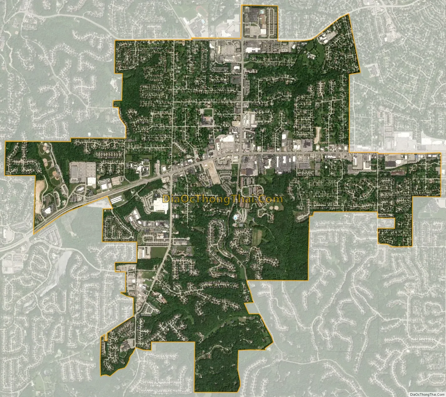
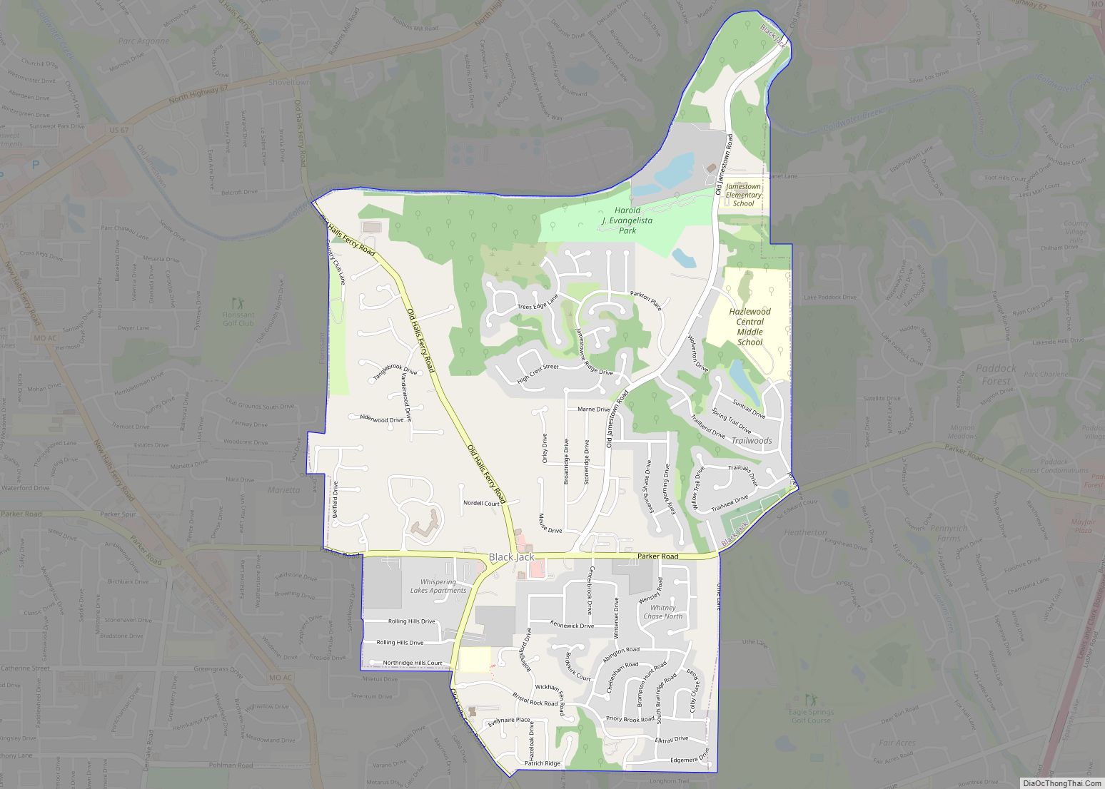
Ellisville location map. Where is Ellisville city?
History
Ellisville was settled by Captain James Harvey Ferris of Kentucky before 1837. He brought slaves with him when he settled his property south of Manchester and west of Kiefer Creek Road, and it was here the house that became known as the “Ellis House” was constructed. The bricks used for construction of the house were handmade by the slaves; it was also called the “Brick Place” for this reason.
Captain Ferris sold the house to Vespasian Ellis, a newspaper editor in St. Louis. The Old School Democrat, the Native American Bulletin, the Washington Temperance Paper, and The Native American were among Ellis’ work. In 1842, Ellis became the United States consul to Venezuela. He ran several ads in the Native American Bulletin in an effort to sell his Ellisville farm. As a result, it was sold to William A. Hereford in 1842 or 1843. Hereford was a Virginian and is credited with the naming of Ellisville after his former post office in Ellisville, Virginia. Hereford opened the first post office here on May 2, 1843. Some believe that the Ellis House itself actually served as the post office for a time. All historical accounts of the area give the same history, but none state clearly whether the town was named for Vespasian Ellis or by William Hereford for his Virginia post office.
Hereford sold to Samuel Wilson, and he sold to Major Clarkson of Kentucky for whom Clarkson Road is named. Major Clarkson sold to Captain Benjamin F. Hutchinson of Kentucky, a steamboat captain and the owner of at least three steamboats. Captain Hutchinson raised fine horses and planted extensive orchards, greatly improving the surrounding countryside. In 1868, Captain Hutchinson subdivided his farm into small lots.
Adam Doering purchased the brick house and a considerable portion of the land. John Henry William Rasch purchased the house about 1896 from the Doerings. The Ellisville House stood until 1969 when it was razed.
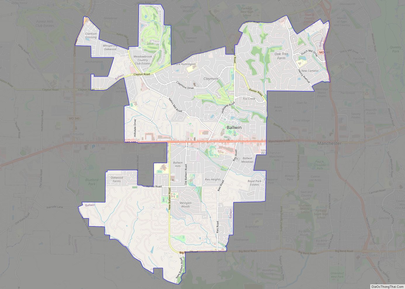
Ellisville Road Map
Ellisville city Satellite Map
Geography
According to the United States Census Bureau, the city has a total area of 4.39 square miles (11.37 km), all land.
Located 13 miles (21 km) west of the western city limits of St. Louis, Ellisville is located approximately 5 miles (8.0 km) south of Interstate 64, five miles north of Interstate 44 and 7 miles (11 km) west of Interstate 270. There are two primary arterial roads which bisect Ellisville: Missouri Route 100 (Manchester Road) and Missouri Route 340 (Clarkson Road). Ellisville is bordered by the city of Clarkson Valley to the north, the city of Ballwin to the east and southeast, unincorporated St. Louis County to the south, and the city of Wildwood to the west.
See also
Map of Missouri State and its subdivision:- Adair
- Andrew
- Atchison
- Audrain
- Barry
- Barton
- Bates
- Benton
- Bollinger
- Boone
- Buchanan
- Butler
- Caldwell
- Callaway
- Camden
- Cape Girardeau
- Carroll
- Carter
- Cass
- Cedar
- Chariton
- Christian
- Clark
- Clay
- Clinton
- Cole
- Cooper
- Crawford
- Dade
- Dallas
- Daviess
- De Kalb
- Dent
- Douglas
- Dunklin
- Franklin
- Gasconade
- Gentry
- Greene
- Grundy
- Harrison
- Henry
- Hickory
- Holt
- Howard
- Howell
- Iron
- Jackson
- Jasper
- Jefferson
- Johnson
- Knox
- Laclede
- Lafayette
- Lawrence
- Lewis
- Lincoln
- Linn
- Livingston
- Macon
- Madison
- Maries
- Marion
- McDonald
- Mercer
- Miller
- Mississippi
- Moniteau
- Monroe
- Montgomery
- Morgan
- New Madrid
- Newton
- Nodaway
- Oregon
- Osage
- Ozark
- Pemiscot
- Perry
- Pettis
- Phelps
- Pike
- Platte
- Polk
- Pulaski
- Putnam
- Ralls
- Randolph
- Ray
- Reynolds
- Ripley
- Saint Charles
- Saint Clair
- Saint Francois
- Saint Louis
- Sainte Genevieve
- Saline
- Schuyler
- Scotland
- Scott
- Shannon
- Shelby
- Stoddard
- Stone
- Sullivan
- Taney
- Texas
- Vernon
- Warren
- Washington
- Wayne
- Webster
- Worth
- Wright
- Alabama
- Alaska
- Arizona
- Arkansas
- California
- Colorado
- Connecticut
- Delaware
- District of Columbia
- Florida
- Georgia
- Hawaii
- Idaho
- Illinois
- Indiana
- Iowa
- Kansas
- Kentucky
- Louisiana
- Maine
- Maryland
- Massachusetts
- Michigan
- Minnesota
- Mississippi
- Missouri
- Montana
- Nebraska
- Nevada
- New Hampshire
- New Jersey
- New Mexico
- New York
- North Carolina
- North Dakota
- Ohio
- Oklahoma
- Oregon
- Pennsylvania
- Rhode Island
- South Carolina
- South Dakota
- Tennessee
- Texas
- Utah
- Vermont
- Virginia
- Washington
- West Virginia
- Wisconsin
- Wyoming


