Emma is a city in Lafayette and Saline counties in the U.S. state of Missouri and is part of the Kansas City metropolitan area. The population was 233 at the 2010 census.
| Name: | Emma city |
|---|---|
| LSAD Code: | 25 |
| LSAD Description: | city (suffix) |
| State: | Missouri |
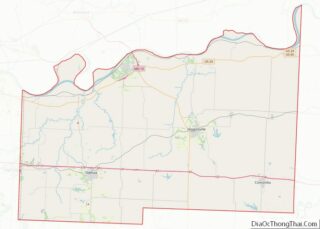
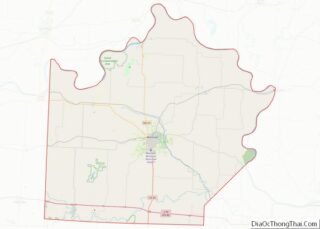
| County: | Lafayette County, Saline County |
| Elevation: | 745 ft (227 m) |
| Total Area: | 0.59 sq mi (1.52 km²) |
| Land Area: | 0.59 sq mi (1.52 km²) |
| Water Area: | 0.00 sq mi (0.00 km²) |
| Total Population: | 201 |
| Population Density: | 343.00/sq mi (132.42/km²) |
| ZIP code: | 65327 |
| Area code: | 660 |
| FIPS code: | 2922312 |
| GNISfeature ID: | 2394688 |
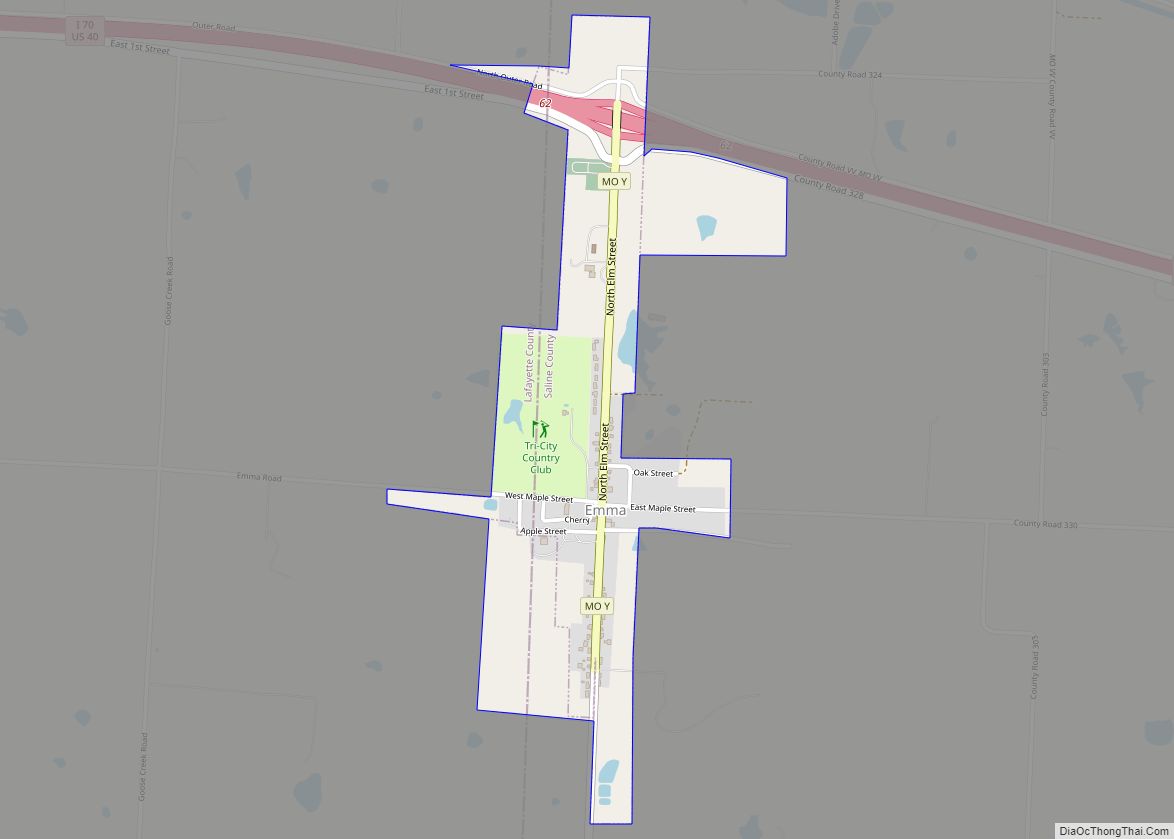
Online Interactive Map
Click on ![]() to view map in "full screen" mode.
to view map in "full screen" mode.
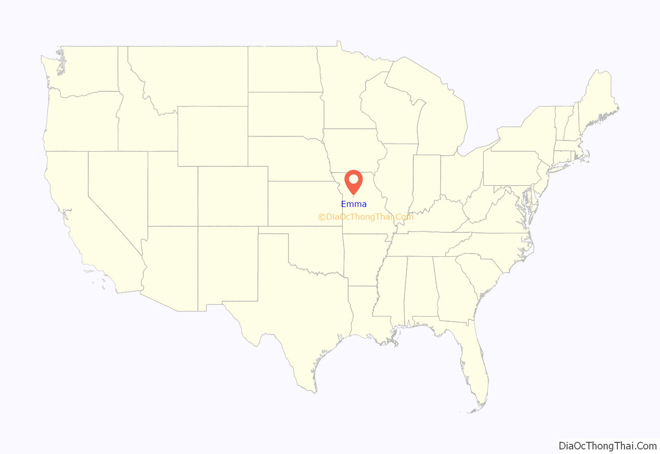
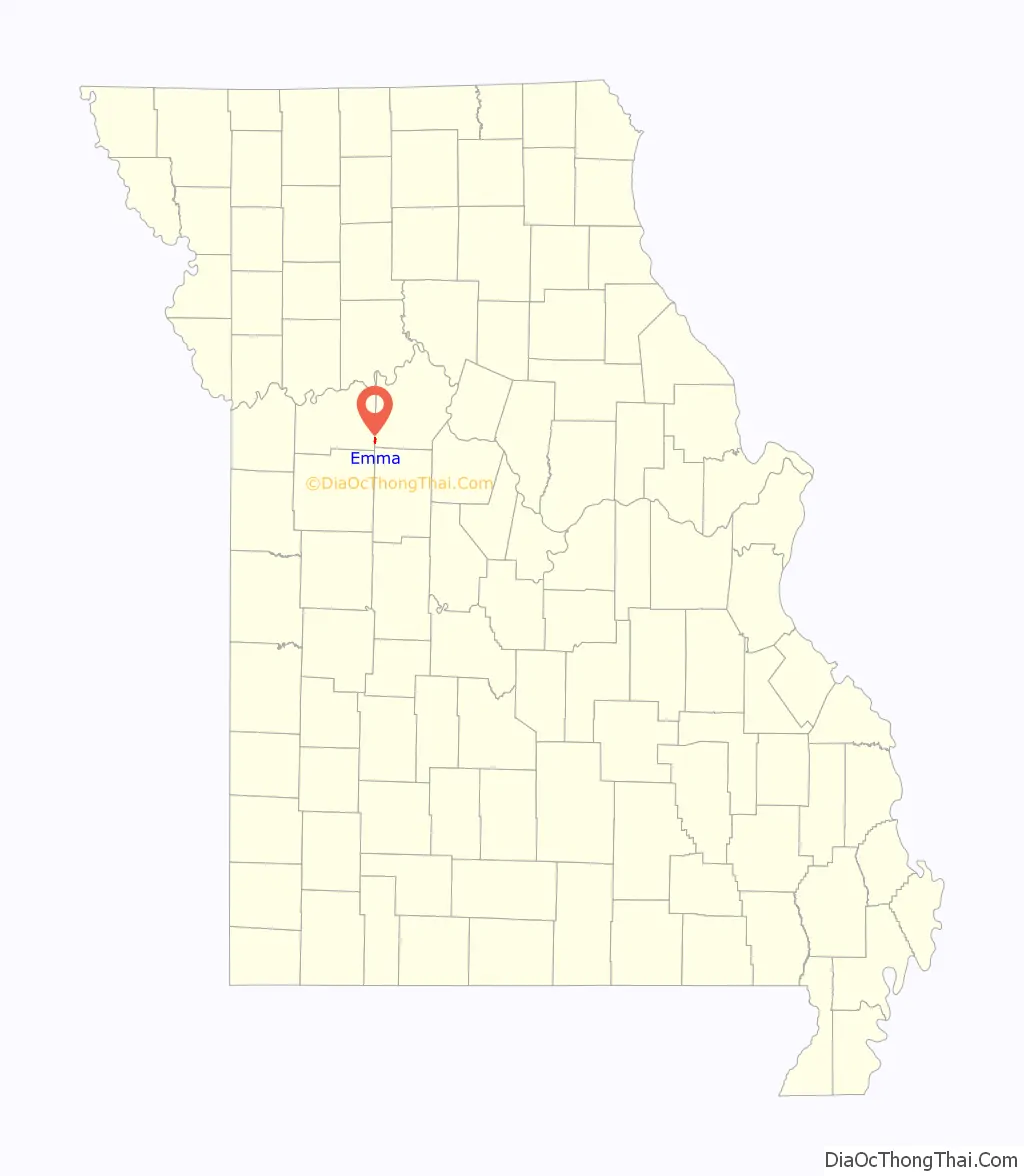
Emma location map. Where is Emma city?
History
The village has the name of Emma Demetrio, the daughter of a local minister.
The following are Excerpted from Robert W. Frizzell’s 1977 article “‘Killed by Rebels’: A Civil War Massacre And Its Aftermath”: Missouri Germans in general had a well-earned reputation among slaveowners as being opposed to slavery. Many St.Louis Germans were exiles from European political oppression. They desired and expected in the United States “a political and social utopia where the rights of the individual were held sacred.”
In West Missouri, the first Germans arrived in southwestern Lafayette County in the late 1830s. In the 1840s and 50s more Germans came, most of them from Hanover in Northwest Germany. They came for neither religious nor political reasons but simply for improved economic opportunity in the form of available farmland.
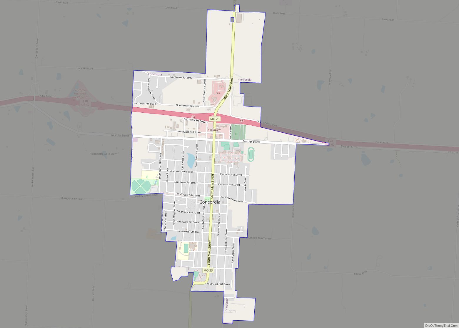
When the war came in 1861, some sixty Lafayette-Saline Germans joined Frederick Becker’s independent company of pro-Union Home Guards in Lafayette County in July. The company stationed itself at Lexington. During this time, with the Home Guards away, the community later known as Concordia experienced its first visit by Southern partisans. The Lutheran minister F. J. Biltz was interrogated, and Brockhoff’s store was raided, and many of the community’s horses and mules were confiscated. The community felt safer when a few days later 1200 Illinois troops passed through on their way to Lexington, but later in September, the entire Federal garrison at Lexington surrendered, including the Lafayette-Saline Germans. The Germans were released to go home after they were made to swear an oath not to take up arms again.
With the activation of the 71st EMM** in August 1862, fifty Germans from Lafayette-Saline joined, and the German community for a second time found many of its men away on militia duty. As had happened previously, Southern partisans visited the community. This time, however, the partisans were guerrillas who did not stop with confiscation of property. On October 5, 1862, several families along with Rev. Biltz and his wife gathered at the home of Julius Vogt for an infant baptism. After the ceremony, while the group finished an evening meal, some sixty shouting, cursing men on horseback surrounded the house. The bushwhackers took eleven men prisoners and took all the usable goods they could find. About a mile away, the killing began—the guerrillas took aside and shot three prisoners. In total, six were shot, three fatally, and five were freed.
On July 13, 1863 a second bushwhacker raid occurred in the German community. The bushwackers took four men prisoner, all of whom were members of Co. B. 71st EMM** and had been on active duty the previous year. The bushwhackers lined up the four and shot them dead. Again, no one is certain of the identities of these particular bushwhacker gangs, but David Poole and “Bloody Bill” Anderson, affiliates of William C. Quantrill, were notoriously opposed to the German farmers and militia. There was relative peace following this 1863 raid until the next summer.
The war was not going well for the Confederacy in 1864. General Price in Arkansas decided to take pressure off Confederates further east by leading his Missouri army on a great raid through its home state. Word reached the guerrillas that summer to disrupt Federal activities as much as possible in order to ready the countryside for Price’s arrival. Thus in central and western Missouri, bushwhacking guerrilla raids occurred almost every day through the summer and early fall. Many of these incidents happened in or near Lafayette and Saline counties.
The night of October 9, 1864, a hundred bushwhackers camped somewhere near Brownsville (renamed Sweet Springs in the 1880s). The next morning Quantrill’s men, led by David Poole and George Todd, decided to attack the German settlement lying to their west (in the Concordia area). About 50 Germans responded to the cow horns and arrived at the Lutheran Church. They divided into two groups—one rode east to aid Germans who had set an ambush at Davis Creek, and the other group went to guard a ford. The first group encountered the hundred guerrillas near the present town of Emma. Only one of the Germans survived. The bushwhackers smashed each of the 24 victim’s skulls with a gun butt or club. Among the dead was Fred Dickenhorst, Maria’s uncle. With the resistance eliminated, Quantrill’s men went on a killing and burning spree amid the homes of the German community.
After they were finished with what was to be their last massacre, Quantrill’s men rode further into Lafayette County. One leader of the last raid on October 10, 1864, George Todd, was killed October 21 as he scouted for General Price. The other leader, David Poole, survived the war to live peacefully in Lexington.
Excerpted from Robert W. Frizzell’s 1977 article “‘Killed by Rebels’: A Civil War Massacre And Its Aftermath” http://haygenealogy.com/dankenbring/bushwhacker.html http://haygenealogy.com/dankenbring/sources/CW-KilledByRebels.pdf
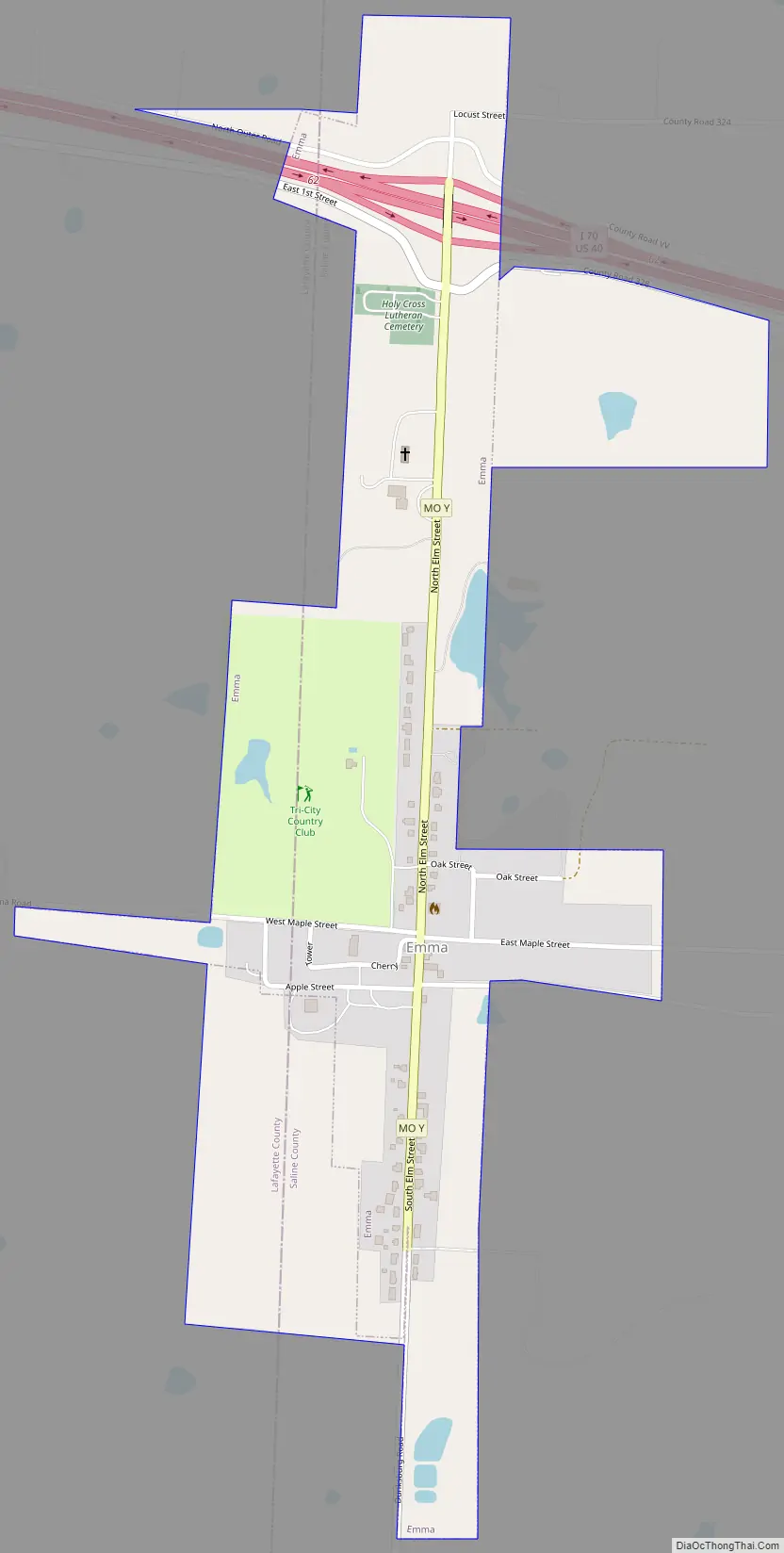
Emma Road Map
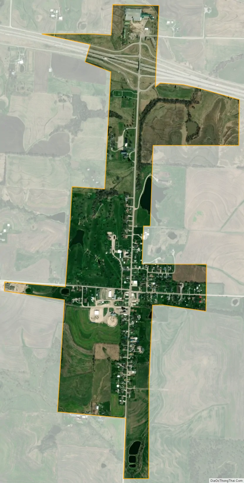
Emma city Satellite Map
Geography
According to the United States Census Bureau, the city has a total area of 0.43 square miles (1.11 km), all land.
Emma is located south of Interstate 70.
See also
Map of Missouri State and its subdivision:- Adair
- Andrew
- Atchison
- Audrain
- Barry
- Barton
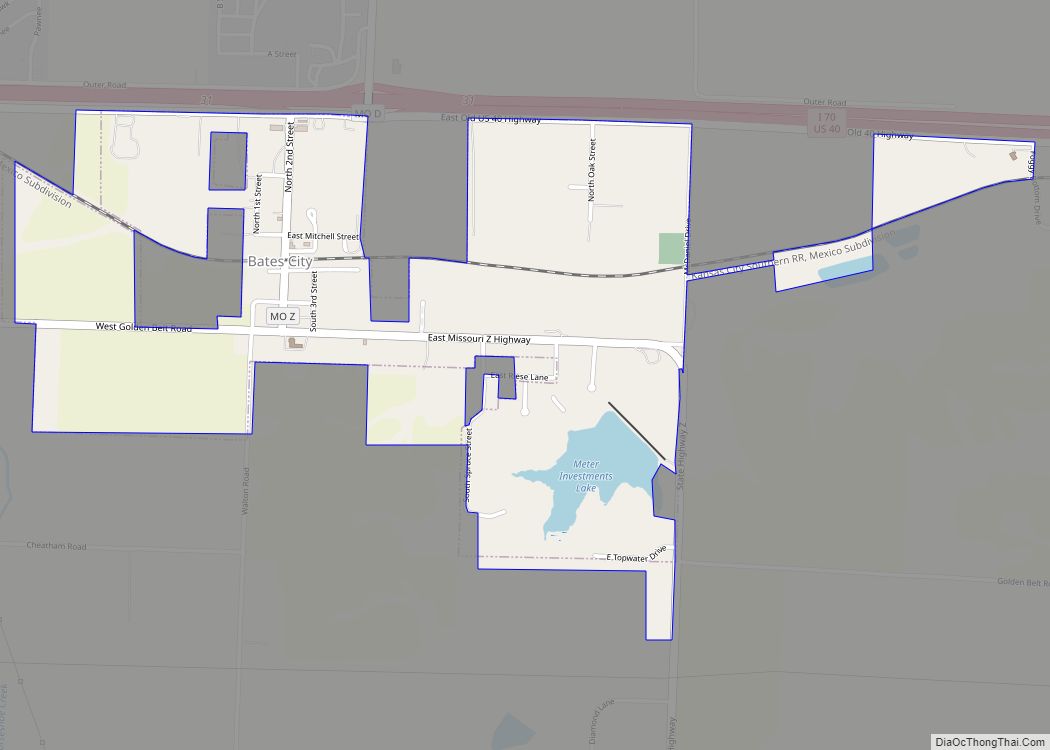
- Bates
- Benton
- Bollinger
- Boone
- Buchanan
- Butler
- Caldwell
- Callaway
- Camden
- Cape Girardeau
- Carroll
- Carter
- Cass
- Cedar
- Chariton
- Christian
- Clark
- Clay
- Clinton
- Cole
- Cooper
- Crawford
- Dade
- Dallas
- Daviess
- De Kalb
- Dent
- Douglas
- Dunklin
- Franklin
- Gasconade
- Gentry
- Greene
- Grundy
- Harrison
- Henry
- Hickory
- Holt
- Howard
- Howell
- Iron
- Jackson
- Jasper
- Jefferson
- Johnson
- Knox
- Laclede
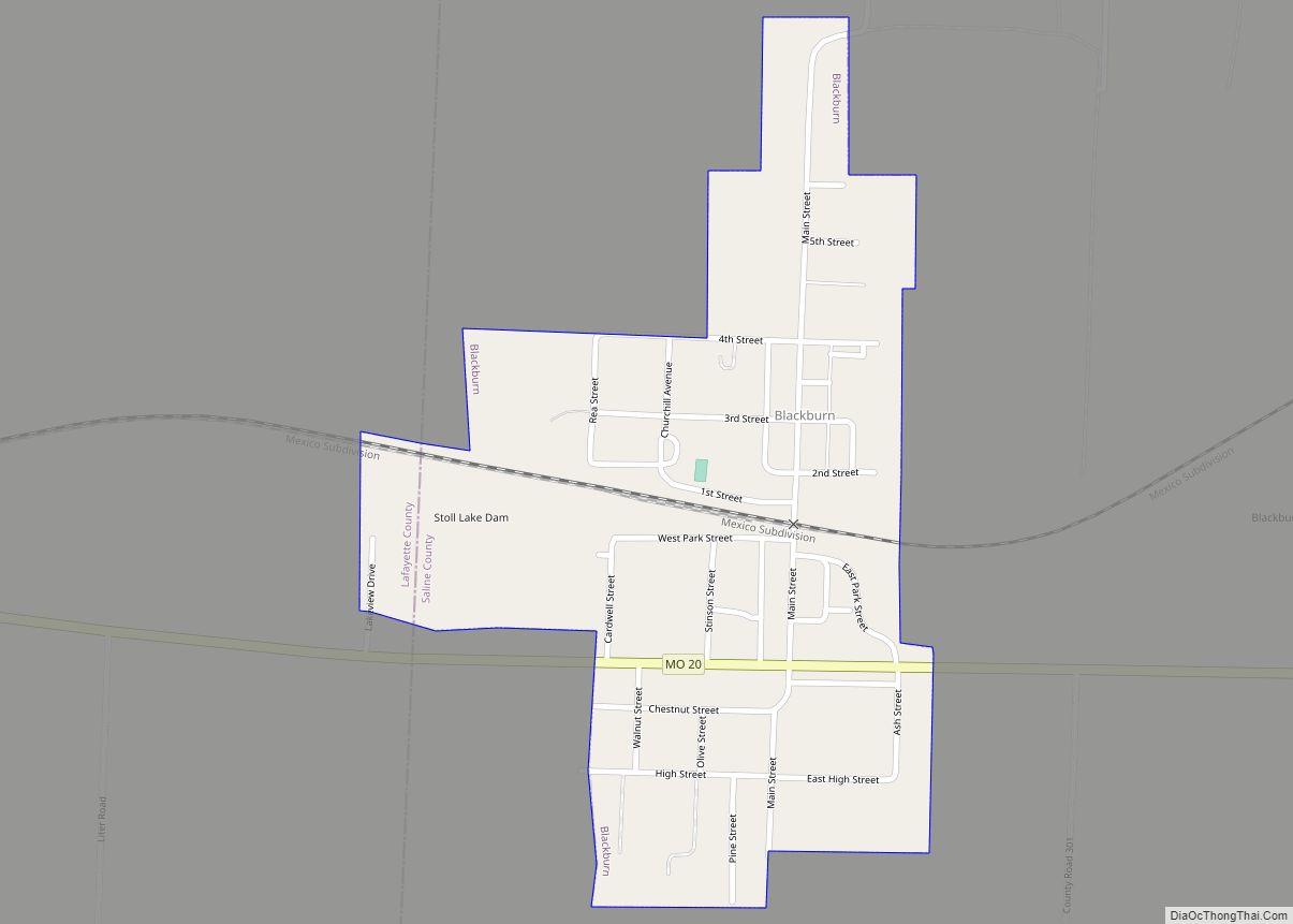
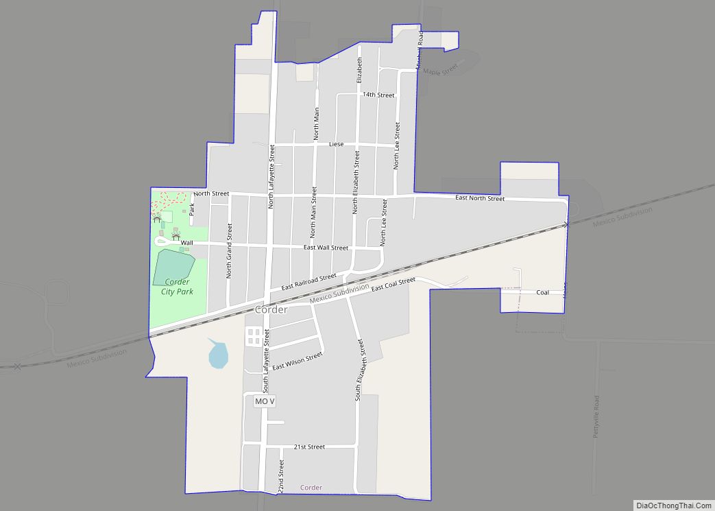
- Lafayette
- Lawrence
- Lewis
- Lincoln
- Linn
- Livingston
- Macon
- Madison
- Maries
- Marion
- McDonald
- Mercer
- Miller
- Mississippi
- Moniteau
- Monroe
- Montgomery
- Morgan
- New Madrid
- Newton
- Nodaway
- Oregon
- Osage
- Ozark
- Pemiscot
- Perry
- Pettis
- Phelps
- Pike
- Platte
- Polk
- Pulaski
- Putnam
- Ralls
- Randolph
- Ray
- Reynolds
- Ripley
- Saint Charles
- Saint Clair
- Saint Francois
- Saint Louis
- Sainte Genevieve
- Saline
- Schuyler
- Scotland
- Scott
- Shannon
- Shelby
- Stoddard
- Stone
- Sullivan
- Taney
- Texas
- Vernon
- Warren
- Washington
- Wayne
- Webster
- Worth
- Wright
- Alabama
- Alaska
- Arizona
- Arkansas
- California
- Colorado
- Connecticut
- Delaware
- District of Columbia
- Florida
- Georgia
- Hawaii
- Idaho
- Illinois
- Indiana
- Iowa
- Kansas
- Kentucky
- Louisiana
- Maine
- Maryland
- Massachusetts
- Michigan
- Minnesota
- Mississippi
- Missouri
- Montana
- Nebraska
- Nevada
- New Hampshire
- New Jersey
- New Mexico
- New York
- North Carolina
- North Dakota
- Ohio
- Oklahoma
- Oregon
- Pennsylvania
- Rhode Island
- South Carolina
- South Dakota
- Tennessee
- Texas
- Utah
- Vermont
- Virginia
- Washington
- West Virginia
- Wisconsin
- Wyoming