Fort Leonard Wood is a U.S. Army training installation located in the Missouri Ozarks. The main gate is located on the southern boundary of The City of St. Robert. The post was created in December 1940 and named in honor of General Leonard Wood (former Chief of Staff) in January 1941. Originally intended to train infantry troops, in 1941 it became an engineer training post with the creation of the Engineer Replacement Training Center. During World War II Italian and German POWs were interned at the fort. In 1984, as part of the Base Realignment and Closure process, most of the U.S. Army Engineer School’s operations were consolidated at Fort Leonard Wood. Before that, officer training was conducted at Fort Belvoir, Virginia.
In 1999, again as part of the Base Realignment and Closure process, Fort McClellan, Alabama, was closed, and the U.S. Army Chemical Corps and Military Police Corps schools were transferred to Fort Leonard Wood, which was concurrently redesignated the U.S. Army Maneuver Support Center.
In 2009, the U.S. Army Maneuver Support Center was redesignated the U.S. Army Maneuver Support Center of Excellence (MSCoE); the “center of excellence” designation was placed on almost all U.S. Army training institutions.
The current commanding general is Major General James Bonner and the command sergeant major is Command Sergeant Major Jorge Arzabala.
| Name: | Fort Leonard Wood CDP |
|---|---|
| LSAD Code: | 57 |
| LSAD Description: | CDP (suffix) |
| State: | Missouri |
| County: | Pulaski County |
| FIPS code: | 2925264 |
| Website: | home.army.mil/wood/index.php |
Online Interactive Map
Click on ![]() to view map in "full screen" mode.
to view map in "full screen" mode.
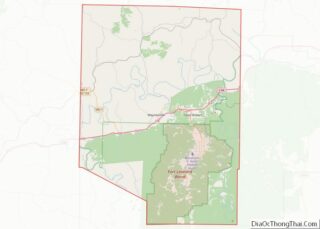
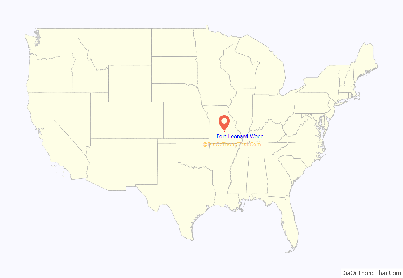
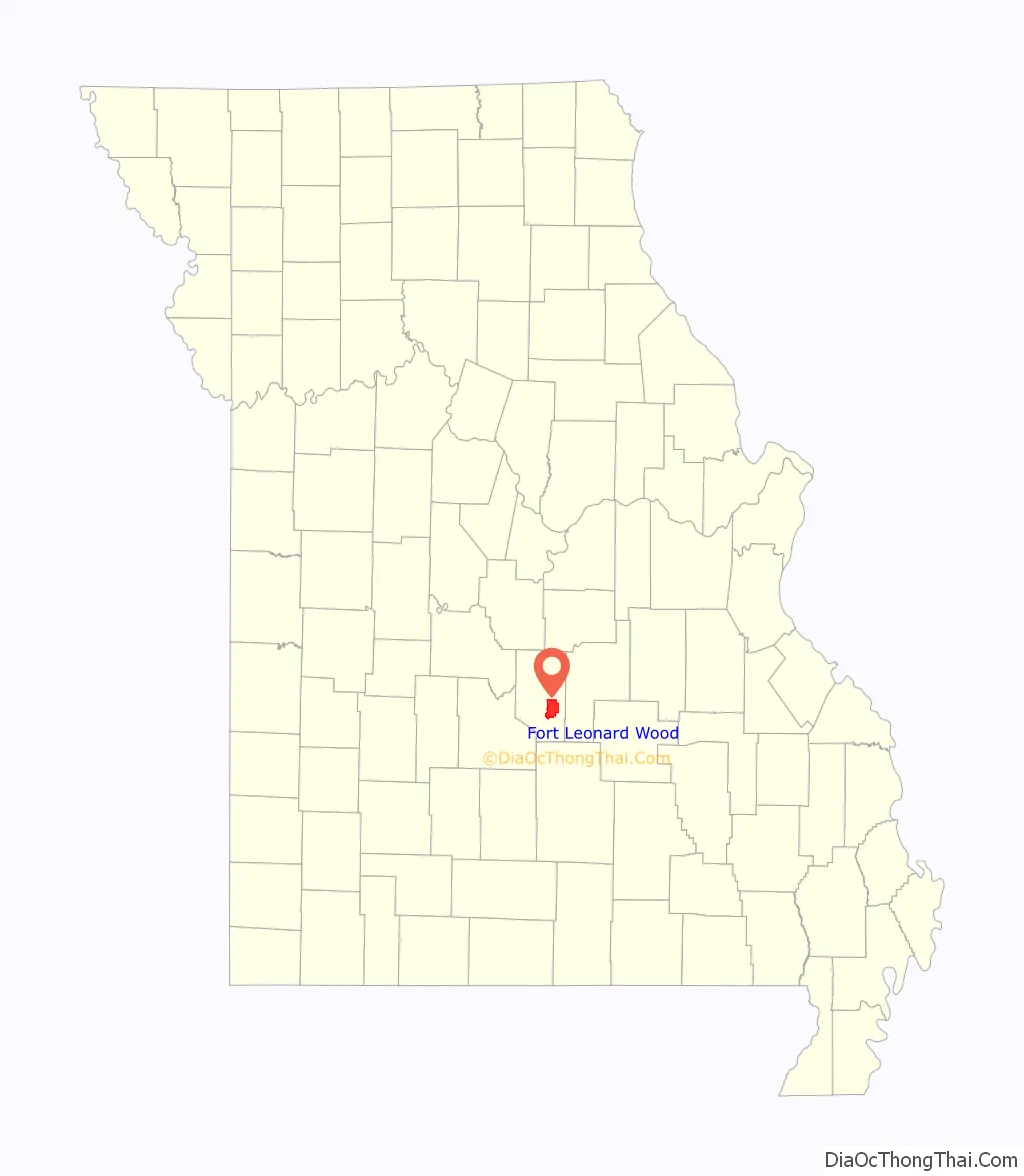
Fort Leonard Wood location map. Where is Fort Leonard Wood CDP?
History
Prior to the establishment of the current Fort Leonard Wood, the name was used in 1928 to rename Camp Meade in central Maryland when it was decided that the facility, originally established as a temporary World War I cantonment, would become a permanent military post. However, after a brief time, the change of name was successfully challenged by U.S. legislators from Pennsylvania (where George G. Meade, hero of the Battle of Gettysburg, was from), and the name was changed back to Fort Meade. This left the name Leonard Wood unused. In 1939, Congress approved the purchase of a 40,000-acre tract of land near Leon, Iowa, for use as a military reservation, but did not authorize any funds to do so. During U.S. precautionary mobilization in the summer of 1940, General George C. Marshall approved the construction of a military camp capable of holding 35,000 men on the site, to be named for General Leonard Wood. U.S. Army officials went to investigate the site and found that, despite reports to the contrary after World War I, there was a critical shortage of groundwater into which wells could be sunk to produce drinking water. The corps area commander suggested an alternate site near Rolla, Missouri.
The installation has historically had a training role under TRADOC (Training and Doctrine Command) rather than a FORSCOM (Forces Command) role dating back to its origins in World War II as an engineer replacement training post. During the Gulf War, the 5th Engineer Battalion from the fort saw action in the Middle East.
After the beginning of the U.S. wars in Iraq (2003-2011) and Afghanistan (2001-2021), the 94th Engineer Battalion was restationed from Germany to Fort Leonard Wood, as were the 92nd Military Police Battalion, 193rd Brigade Support Battalion, and 94th Signal Company (part of the 4th Maneuver Enhancement Brigade). The 4th Maneuver Enhancement Brigade was activated at the fort on 2 October 2008 and was inactivated 17 June 2015.
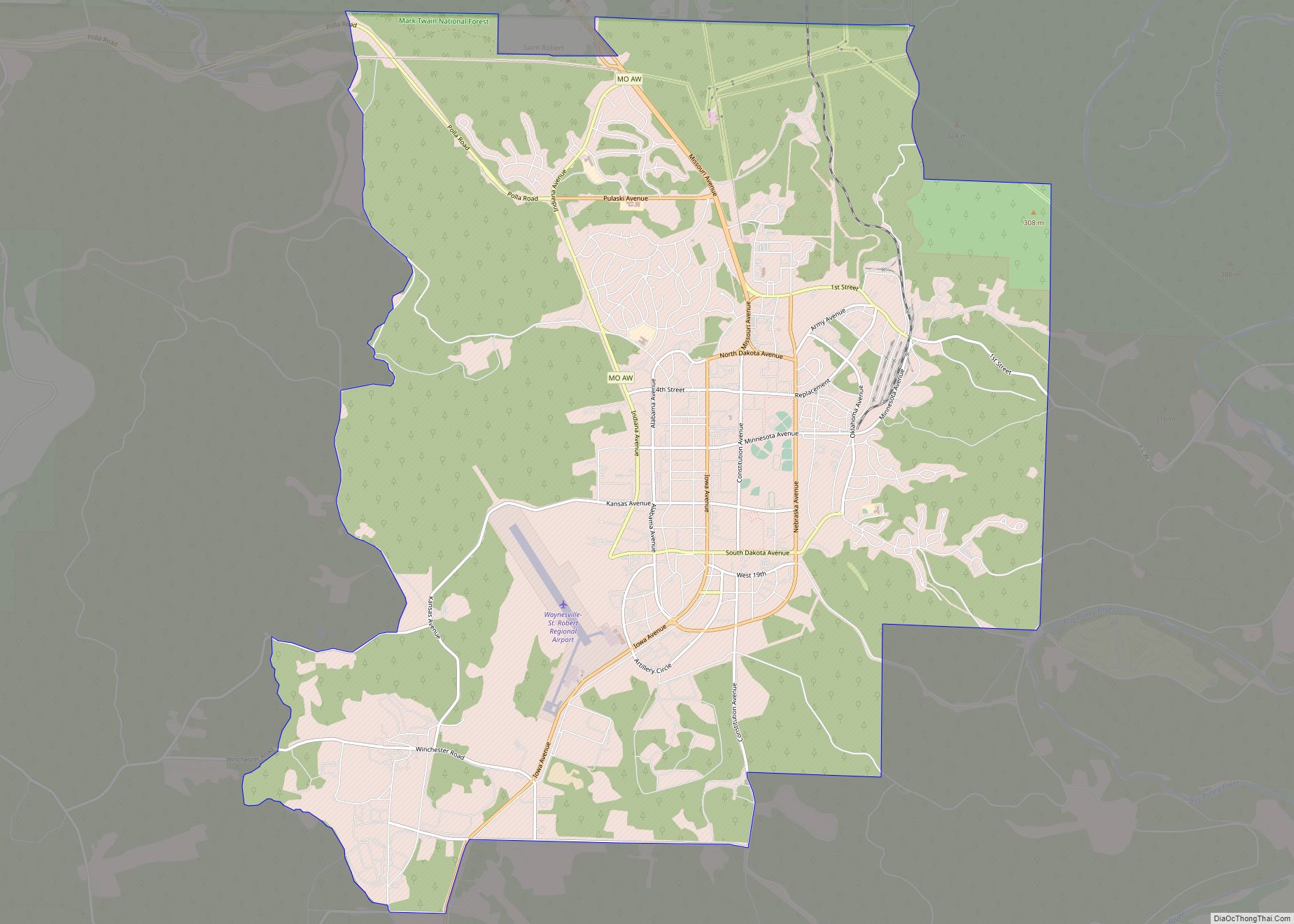
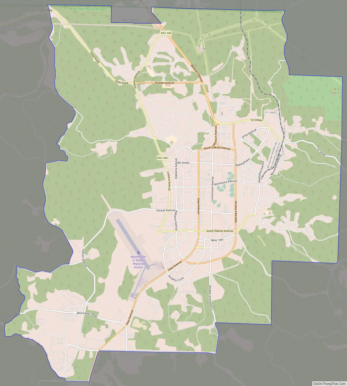
Fort Leonard Wood Road Map
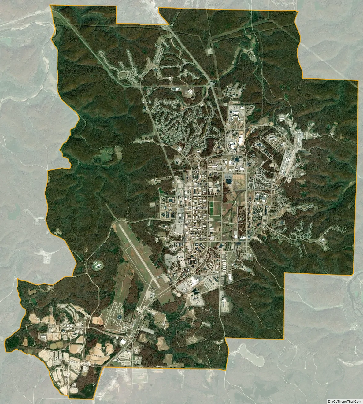
Fort Leonard Wood city Satellite Map
Geography
Fort Leonard Wood is located at 37°44′17″N 92°7′2″W / 37.73806°N 92.11722°W / 37.73806; -92.11722 (37.738191, −92.117275).
According to the United States Census Bureau, the base has a total area of 97.6 square miles (252.8 km), of which 97.2 square miles (251.7 km) is land and 0.4 square miles (1.1 km) (0.43%) is water.
See also
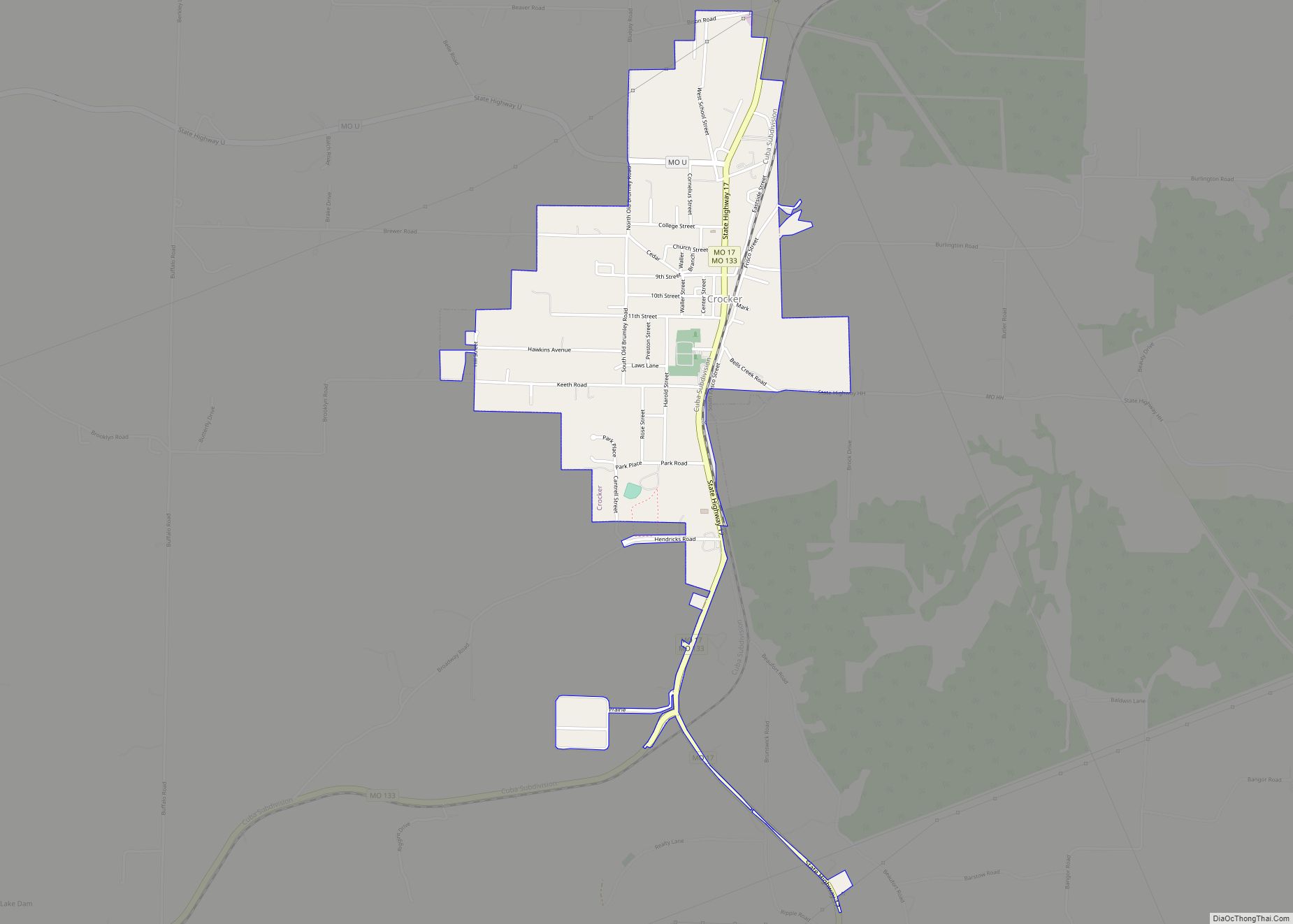
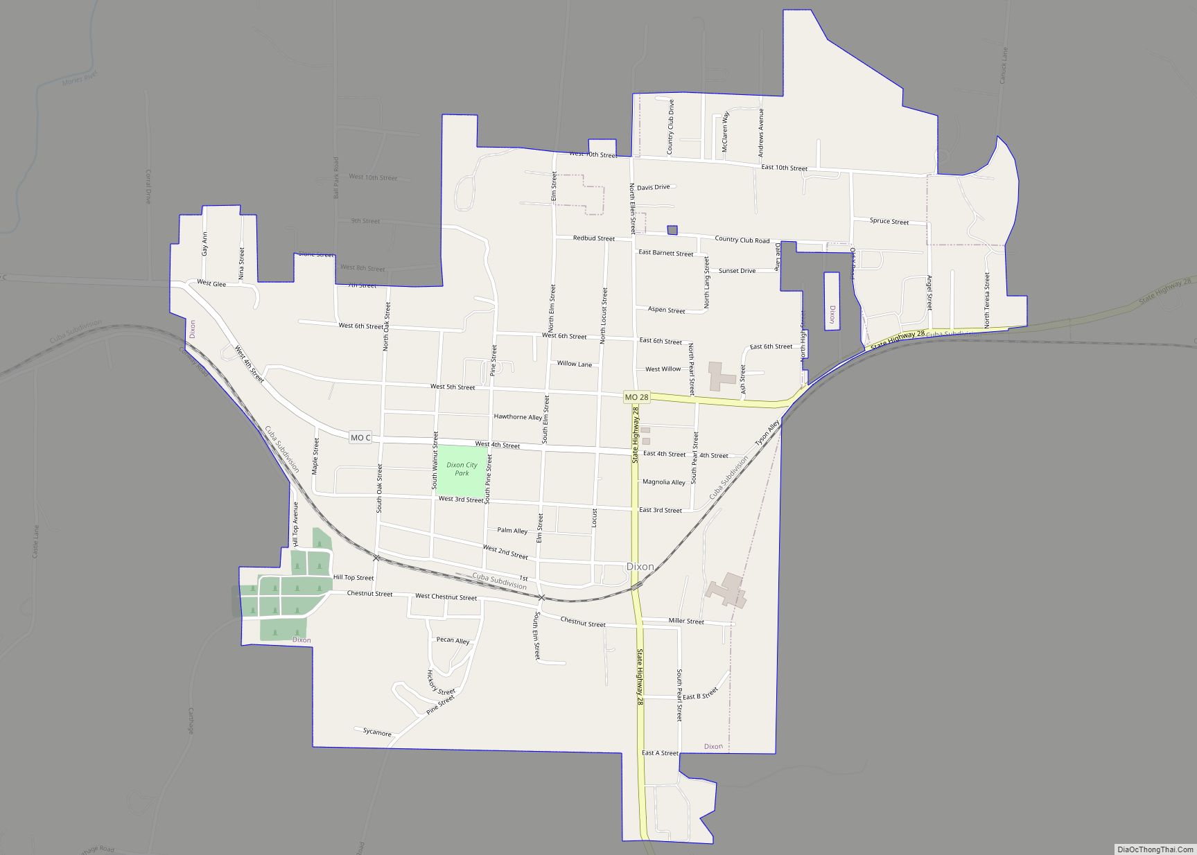
Map of Missouri State and its subdivision:- Adair
- Andrew
- Atchison
- Audrain
- Barry
- Barton
- Bates
- Benton
- Bollinger
- Boone
- Buchanan
- Butler
- Caldwell
- Callaway
- Camden
- Cape Girardeau
- Carroll
- Carter
- Cass
- Cedar
- Chariton
- Christian
- Clark
- Clay
- Clinton
- Cole
- Cooper
- Crawford
- Dade
- Dallas
- Daviess
- De Kalb
- Dent
- Douglas
- Dunklin
- Franklin
- Gasconade
- Gentry
- Greene
- Grundy
- Harrison
- Henry
- Hickory
- Holt
- Howard
- Howell
- Iron
- Jackson
- Jasper
- Jefferson
- Johnson
- Knox
- Laclede
- Lafayette
- Lawrence
- Lewis
- Lincoln
- Linn
- Livingston
- Macon
- Madison
- Maries
- Marion
- McDonald
- Mercer
- Miller
- Mississippi
- Moniteau
- Monroe
- Montgomery
- Morgan
- New Madrid
- Newton
- Nodaway
- Oregon
- Osage
- Ozark
- Pemiscot
- Perry
- Pettis
- Phelps
- Pike
- Platte
- Polk
- Pulaski
- Putnam
- Ralls
- Randolph
- Ray
- Reynolds
- Ripley
- Saint Charles
- Saint Clair
- Saint Francois
- Saint Louis
- Sainte Genevieve
- Saline
- Schuyler
- Scotland
- Scott
- Shannon
- Shelby
- Stoddard
- Stone
- Sullivan
- Taney
- Texas
- Vernon
- Warren
- Washington
- Wayne
- Webster
- Worth
- Wright
- Alabama
- Alaska
- Arizona
- Arkansas
- California
- Colorado
- Connecticut
- Delaware
- District of Columbia
- Florida
- Georgia
- Hawaii
- Idaho
- Illinois
- Indiana
- Iowa
- Kansas
- Kentucky
- Louisiana
- Maine
- Maryland
- Massachusetts
- Michigan
- Minnesota
- Mississippi
- Missouri
- Montana
- Nebraska
- Nevada
- New Hampshire
- New Jersey
- New Mexico
- New York
- North Carolina
- North Dakota
- Ohio
- Oklahoma
- Oregon
- Pennsylvania
- Rhode Island
- South Carolina
- South Dakota
- Tennessee
- Texas
- Utah
- Vermont
- Virginia
- Washington
- West Virginia
- Wisconsin
- Wyoming