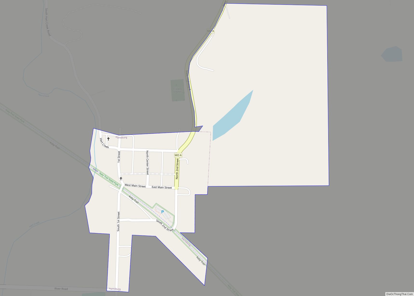
Hartsburg is a village in southern Boone County, Missouri, United States. It is part of the Columbia, Missouri Metropolitan Statistical Area. The population was 133 per the 2020 census.
| Name: | Hartsburg town |
|---|---|
| LSAD Code: | 43 |
| LSAD Description: | town (suffix) |
| State: | Missouri |
| County: | Boone County |
| Elevation: | 591 ft (180 m) |
| Total Area: | 0.21 sq mi (0.56 km²) |
| Land Area: | 0.21 sq mi (0.56 km²) |
| Water Area: | 0.00 sq mi (0.00 km²) |
| Total Population: | 133 |
| Population Density: | 618.60/sq mi (238.73/km²) |
| ZIP code: | 65039 |
| Area code: | 573 |
| FIPS code: | 2930718 |
| GNISfeature ID: | 2396989 |
| Website: | www.hartsburgpumpkinfest.com |
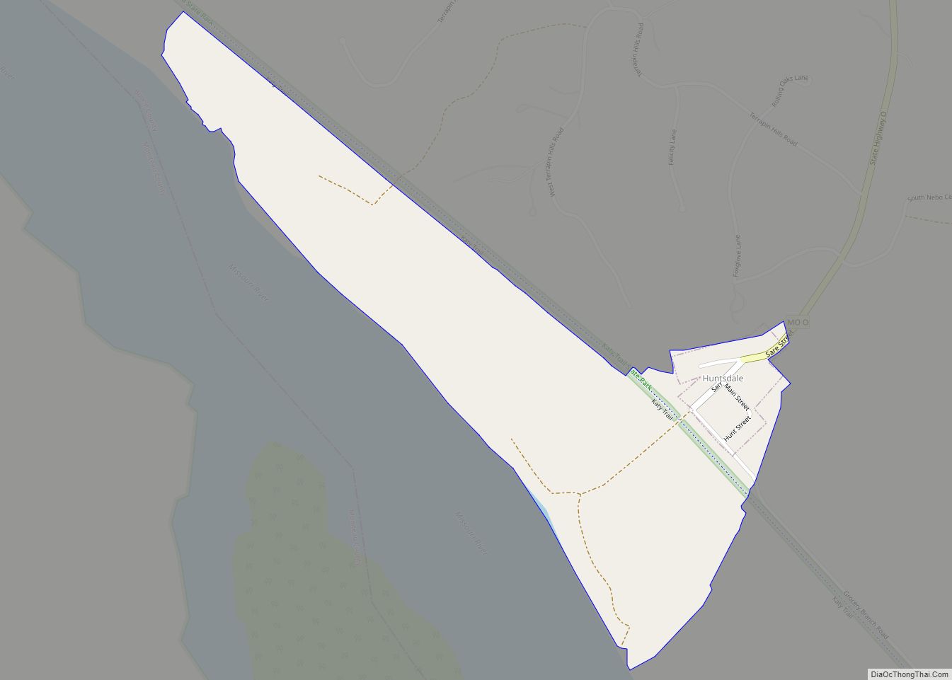
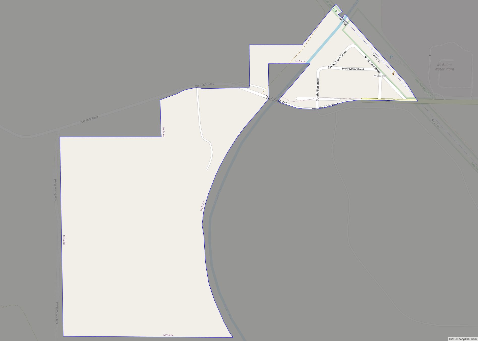
Online Interactive Map
Click on ![]() to view map in "full screen" mode.
to view map in "full screen" mode.
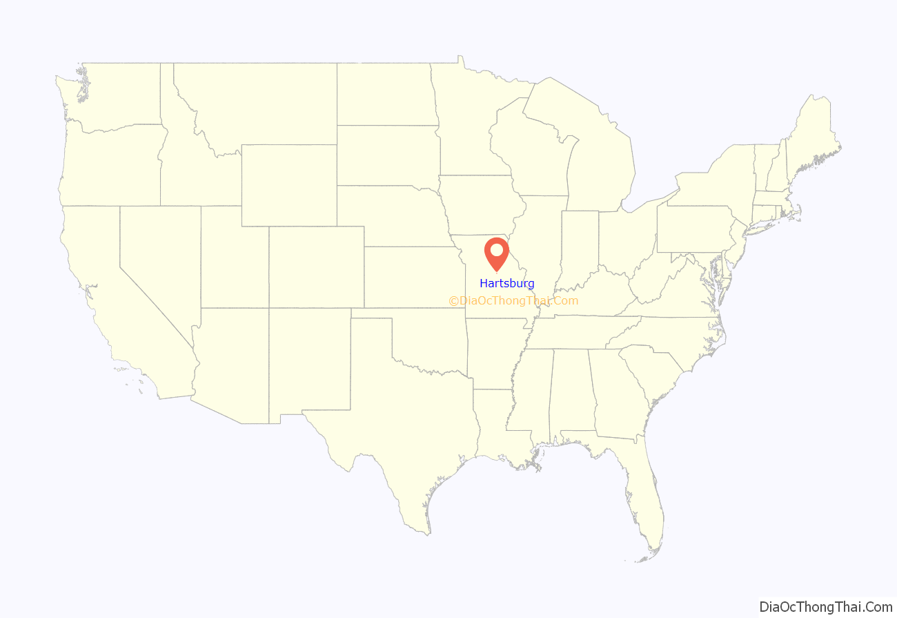
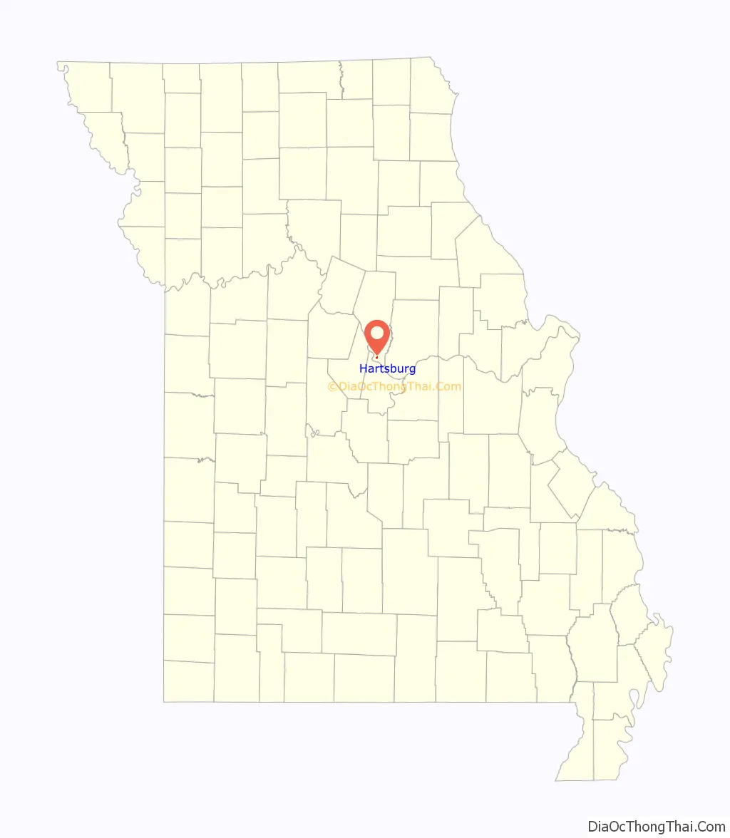
Hartsburg location map. Where is Hartsburg town?
History
Hartsburg was named for Luther D. Hart, a pioneer settler.
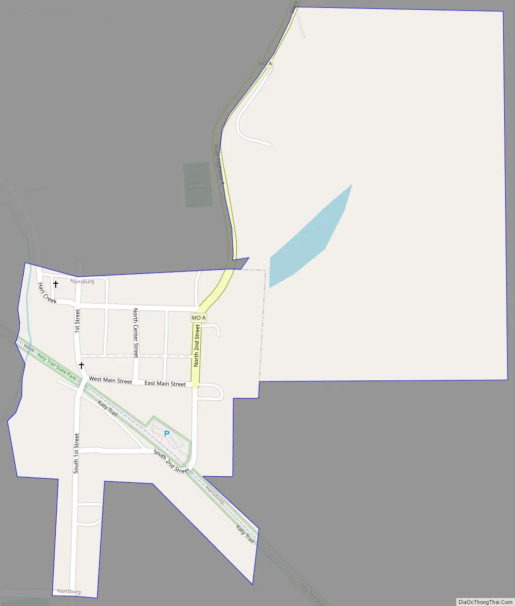
Hartsburg Road Map
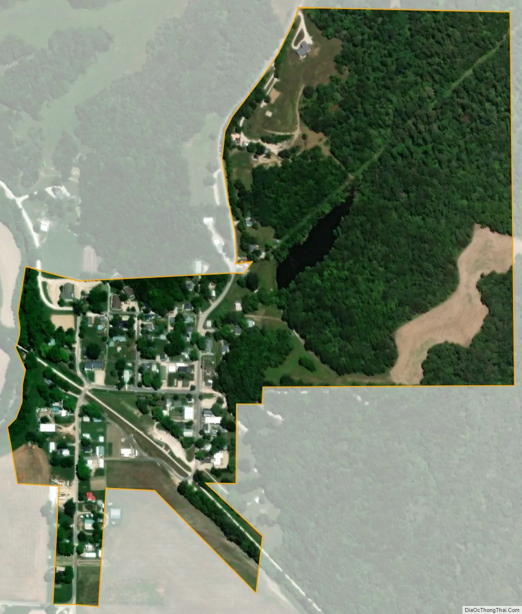
Hartsburg city Satellite Map
Geography
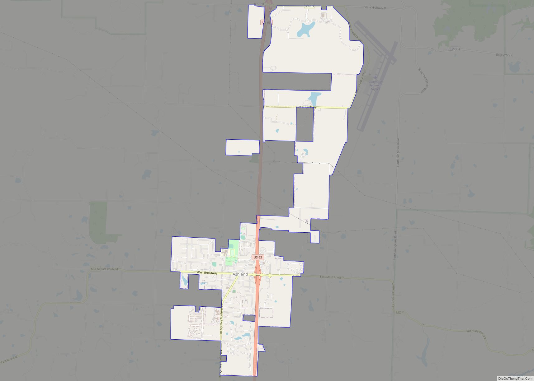
Hartsburg is located above the Missouri River bottom on Missouri Route A. The city of Marion in Cole County lies due west across the Missouri River. The community of Ashland lies about six miles to the northeast on U.S. Route 63. Hart Creek flows past the west side of the community.
According to the United States Census Bureau, the village has a total area of 0.21 square miles (0.54 km), all land.
See also
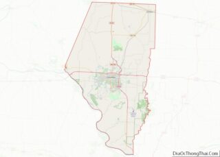
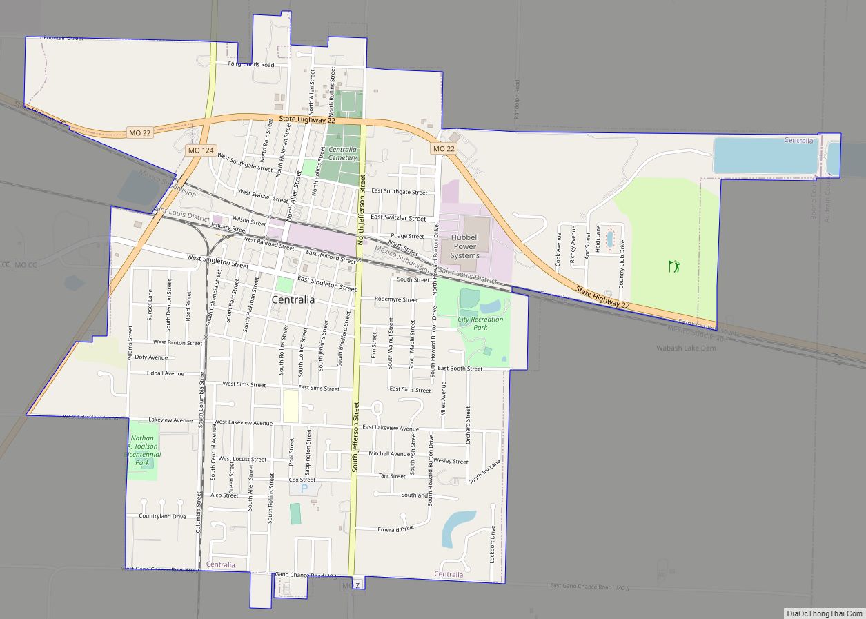
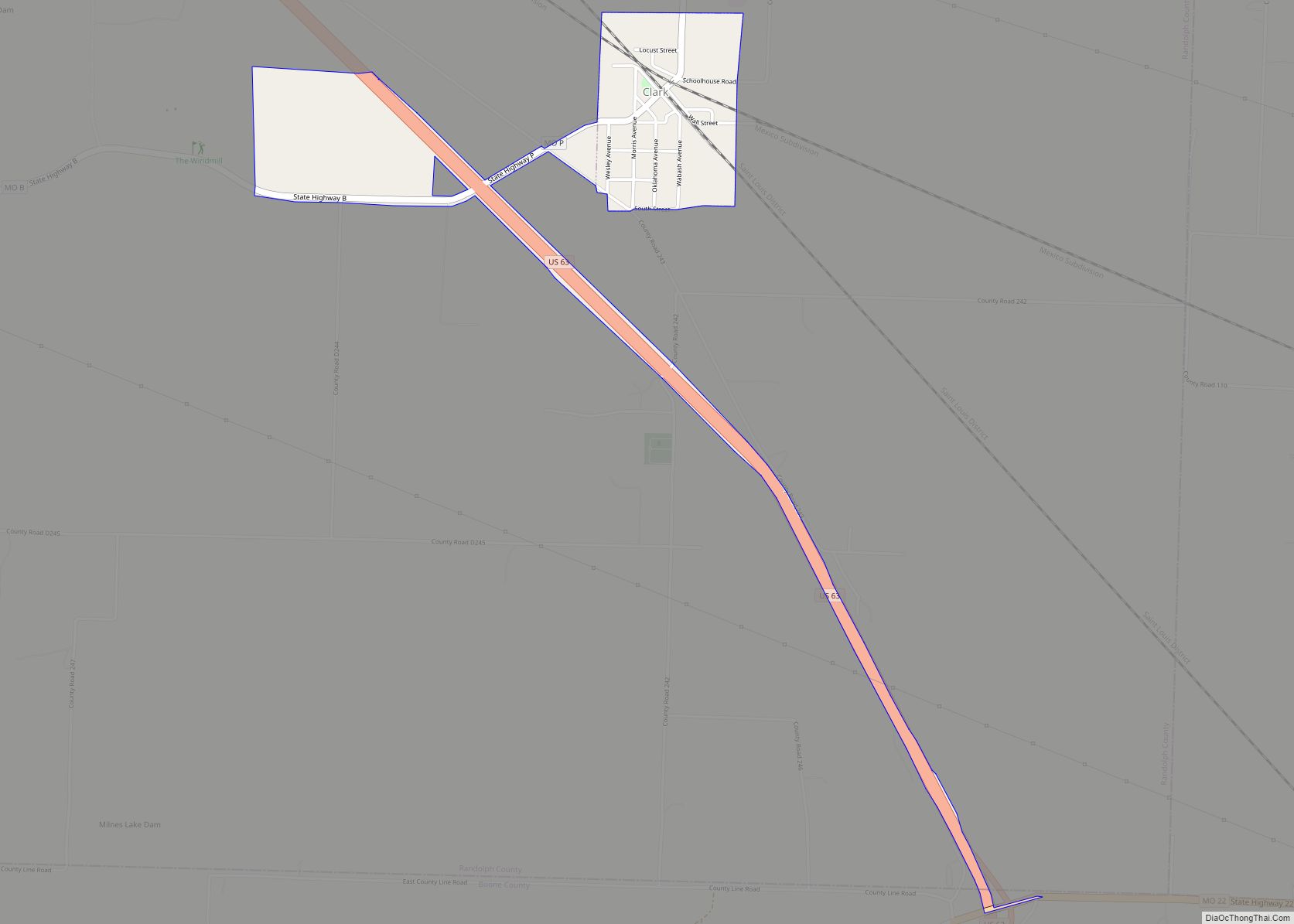
Map of Missouri State and its subdivision:- Adair
- Andrew
- Atchison
- Audrain
- Barry
- Barton
- Bates
- Benton
- Bollinger
- Boone
- Buchanan
- Butler
- Caldwell
- Callaway
- Camden
- Cape Girardeau
- Carroll
- Carter
- Cass
- Cedar
- Chariton
- Christian
- Clark
- Clay
- Clinton
- Cole
- Cooper
- Crawford
- Dade
- Dallas
- Daviess
- De Kalb
- Dent
- Douglas
- Dunklin
- Franklin
- Gasconade
- Gentry
- Greene
- Grundy
- Harrison
- Henry
- Hickory
- Holt
- Howard
- Howell
- Iron
- Jackson
- Jasper
- Jefferson
- Johnson
- Knox
- Laclede
- Lafayette
- Lawrence
- Lewis
- Lincoln
- Linn
- Livingston
- Macon
- Madison
- Maries
- Marion
- McDonald
- Mercer
- Miller
- Mississippi
- Moniteau
- Monroe
- Montgomery
- Morgan
- New Madrid
- Newton
- Nodaway
- Oregon
- Osage
- Ozark
- Pemiscot
- Perry
- Pettis
- Phelps
- Pike
- Platte
- Polk
- Pulaski
- Putnam
- Ralls
- Randolph
- Ray
- Reynolds
- Ripley
- Saint Charles
- Saint Clair
- Saint Francois
- Saint Louis
- Sainte Genevieve
- Saline
- Schuyler
- Scotland
- Scott
- Shannon
- Shelby
- Stoddard
- Stone
- Sullivan
- Taney
- Texas
- Vernon
- Warren
- Washington
- Wayne
- Webster
- Worth
- Wright
- Alabama
- Alaska
- Arizona
- Arkansas
- California
- Colorado
- Connecticut
- Delaware
- District of Columbia
- Florida
- Georgia
- Hawaii
- Idaho
- Illinois
- Indiana
- Iowa
- Kansas
- Kentucky
- Louisiana
- Maine
- Maryland
- Massachusetts
- Michigan
- Minnesota
- Mississippi
- Missouri
- Montana
- Nebraska
- Nevada
- New Hampshire
- New Jersey
- New Mexico
- New York
- North Carolina
- North Dakota
- Ohio
- Oklahoma
- Oregon
- Pennsylvania
- Rhode Island
- South Carolina
- South Dakota
- Tennessee
- Texas
- Utah
- Vermont
- Virginia
- Washington
- West Virginia
- Wisconsin
- Wyoming