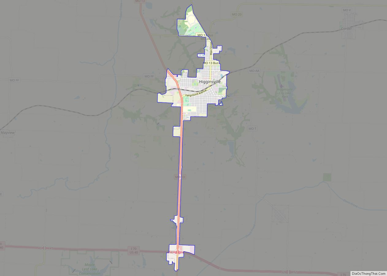
Higginsville is a city in Lafayette County, Missouri, within the United States. The population was 4,797 at the 2010 census.
| Name: | Higginsville city |
|---|---|
| LSAD Code: | 25 |
| LSAD Description: | city (suffix) |
| State: | Missouri |
| County: | Lafayette County |
| Elevation: | 860 ft (260 m) |
| Total Area: | 3.80 sq mi (9.84 km²) |
| Land Area: | 3.77 sq mi (9.76 km²) |
| Water Area: | 0.03 sq mi (0.08 km²) |
| Total Population: | 4,817 |
| Population Density: | 1,278.40/sq mi (493.60/km²) |
| ZIP code: | 64037 |
| Area code: | 660 |
| FIPS code: | 2931960 |
| GNISfeature ID: | 2394373 |
| Website: | www.higginsville.org |
Online Interactive Map
Click on ![]() to view map in "full screen" mode.
to view map in "full screen" mode.
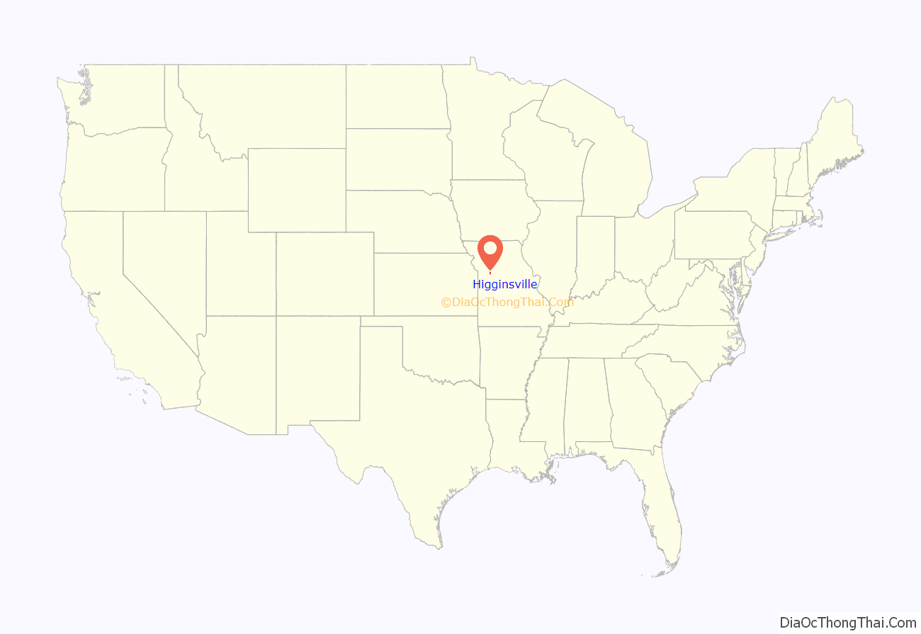
Higginsville location map. Where is Higginsville city?
History
Higginsville was founded in 1869 and named after Harvey Higgins, the original owner of the town site. A post office has been in operation at Higginsville since 1870.
Higginsville was formerly the site of the Missouri Confederate Soldiers’ Home. After the last of the Confederate veterans died, the lands were converted into a Confederate Memorial Cemetery. This 135-acre site is preserved in memory of the more than 40,000 Missourians who fought under the Confederate flag. Captain William Clarke Quantrill is one of those interred here.
The Confederate Chapel, Cemetery and Cottage, Houx-Hoefer-Rehkop House, and Chicago and Alton Railroad Depot at Higginsville are listed on the National Register of Historic Places.
Higginsville Road Map
Higginsville city Satellite Map
Geography
Higginsville is located on Missouri Route 13 approximately ten miles southeast of Lexington and 20 miles north of Warrensburg.
According to the United States Census Bureau, the city has a total area of 3.83 square miles (9.92 km), of which 3.80 square miles (9.84 km) is land and 0.03 square miles (0.08 km) is water.
Climate
See also
Map of Missouri State and its subdivision:- Adair
- Andrew
- Atchison
- Audrain
- Barry
- Barton
- Bates
- Benton
- Bollinger
- Boone
- Buchanan
- Butler
- Caldwell
- Callaway
- Camden
- Cape Girardeau
- Carroll
- Carter
- Cass
- Cedar
- Chariton
- Christian
- Clark
- Clay
- Clinton
- Cole
- Cooper
- Crawford
- Dade
- Dallas
- Daviess
- De Kalb
- Dent
- Douglas
- Dunklin
- Franklin
- Gasconade
- Gentry
- Greene
- Grundy
- Harrison
- Henry
- Hickory
- Holt
- Howard
- Howell
- Iron
- Jackson
- Jasper
- Jefferson
- Johnson
- Knox
- Laclede
- Lafayette
- Lawrence
- Lewis
- Lincoln
- Linn
- Livingston
- Macon
- Madison
- Maries
- Marion
- McDonald
- Mercer
- Miller
- Mississippi
- Moniteau
- Monroe
- Montgomery
- Morgan
- New Madrid
- Newton
- Nodaway
- Oregon
- Osage
- Ozark
- Pemiscot
- Perry
- Pettis
- Phelps
- Pike
- Platte
- Polk
- Pulaski
- Putnam
- Ralls
- Randolph
- Ray
- Reynolds
- Ripley
- Saint Charles
- Saint Clair
- Saint Francois
- Saint Louis
- Sainte Genevieve
- Saline
- Schuyler
- Scotland
- Scott
- Shannon
- Shelby
- Stoddard
- Stone
- Sullivan
- Taney
- Texas
- Vernon
- Warren
- Washington
- Wayne
- Webster
- Worth
- Wright
- Alabama
- Alaska
- Arizona
- Arkansas
- California
- Colorado
- Connecticut
- Delaware
- District of Columbia
- Florida
- Georgia
- Hawaii
- Idaho
- Illinois
- Indiana
- Iowa
- Kansas
- Kentucky
- Louisiana
- Maine
- Maryland
- Massachusetts
- Michigan
- Minnesota
- Mississippi
- Missouri
- Montana
- Nebraska
- Nevada
- New Hampshire
- New Jersey
- New Mexico
- New York
- North Carolina
- North Dakota
- Ohio
- Oklahoma
- Oregon
- Pennsylvania
- Rhode Island
- South Carolina
- South Dakota
- Tennessee
- Texas
- Utah
- Vermont
- Virginia
- Washington
- West Virginia
- Wisconsin
- Wyoming
