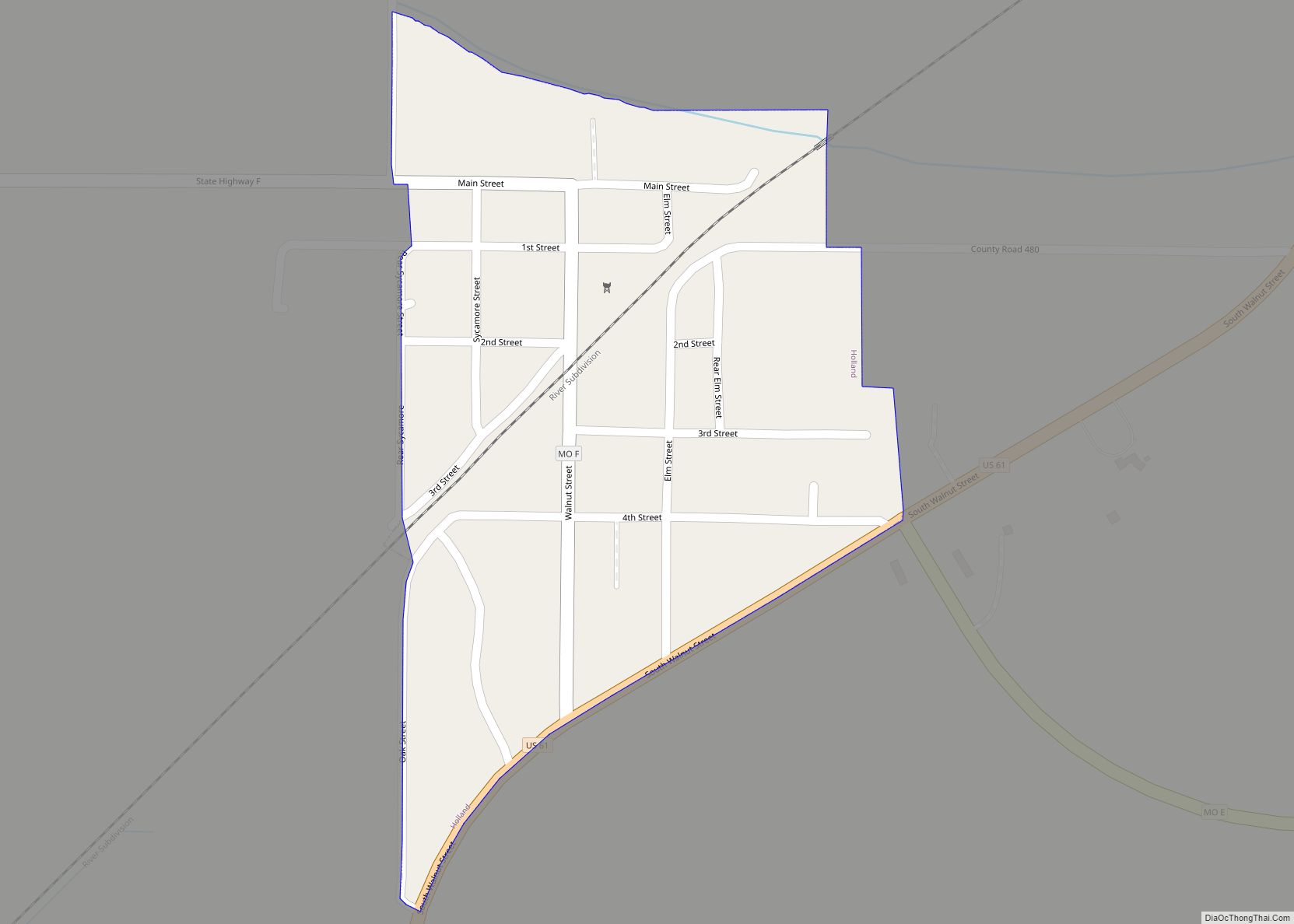
Holland is a town in Pemiscot County, Missouri, United States. The population was 194 at the 2020 census.
| Name: | Holland town |
|---|---|
| LSAD Code: | 43 |
| LSAD Description: | town (suffix) |
| State: | Missouri |
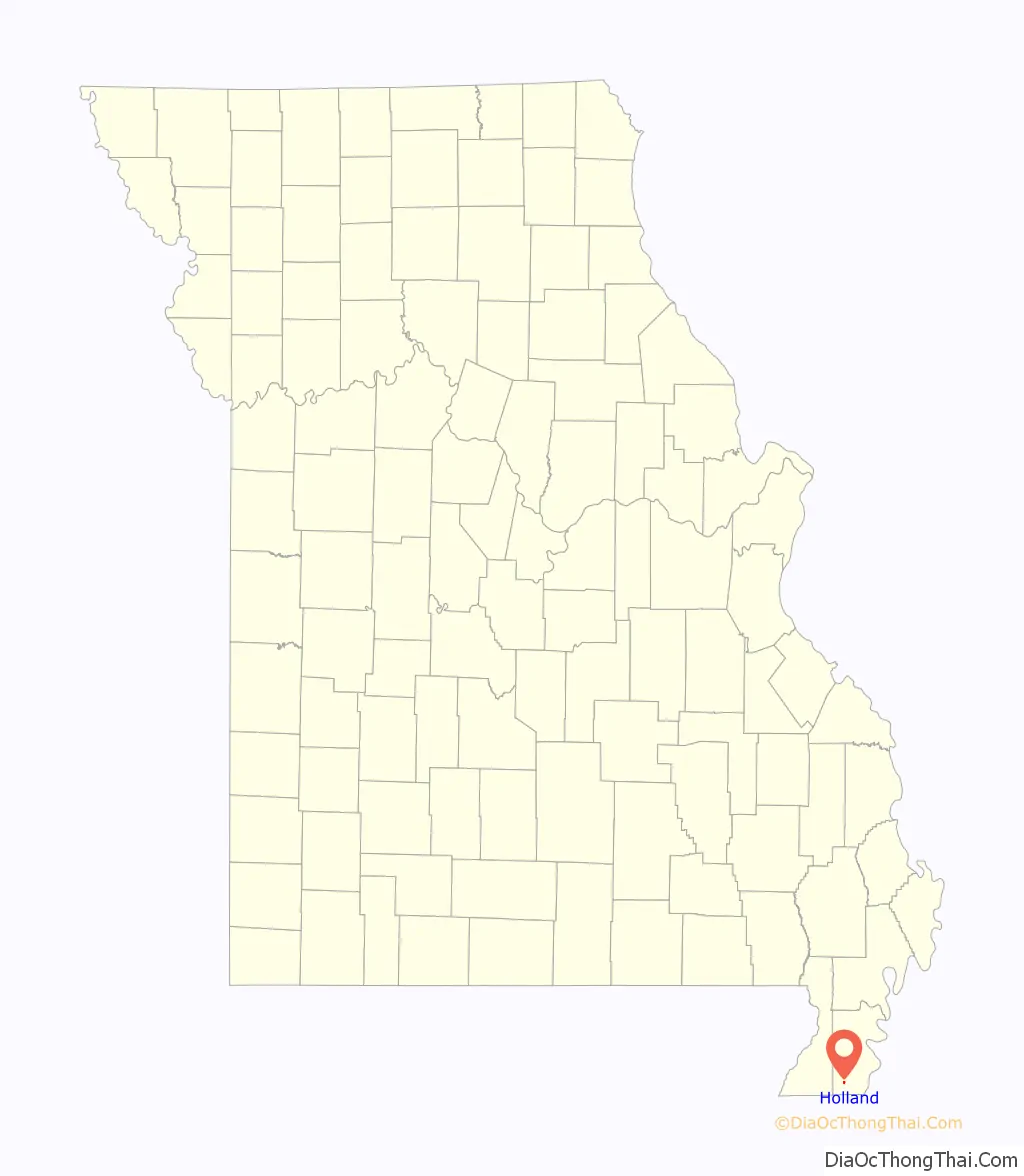
| County: | Pemiscot County |
| Elevation: | 256 ft (78 m) |
| Total Area: | 0.17 sq mi (0.43 km²) |
| Land Area: | 0.17 sq mi (0.43 km²) |
| Water Area: | 0.00 sq mi (0.00 km²) |
| Total Population: | 194 |
| Population Density: | 1,161.68/sq mi (449.10/km²) |
| ZIP code: | 63853 |
| Area code: | 573 |
| FIPS code: | 2932590 |
| GNISfeature ID: | 2396997 |
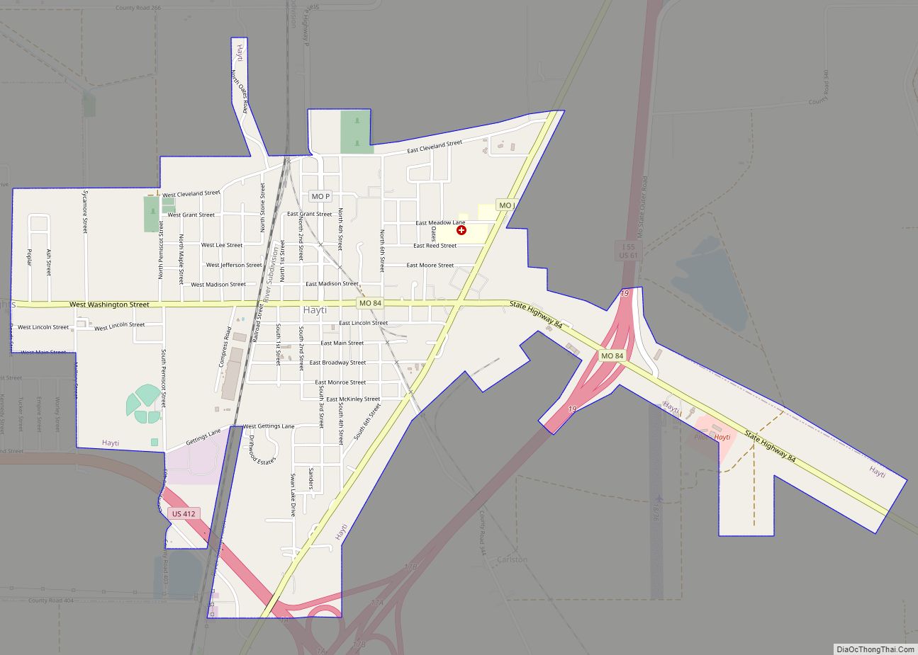
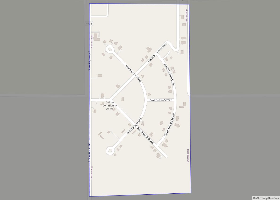
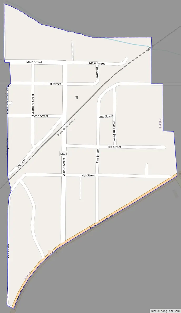
Online Interactive Map
Click on ![]() to view map in "full screen" mode.
to view map in "full screen" mode.
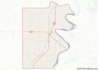
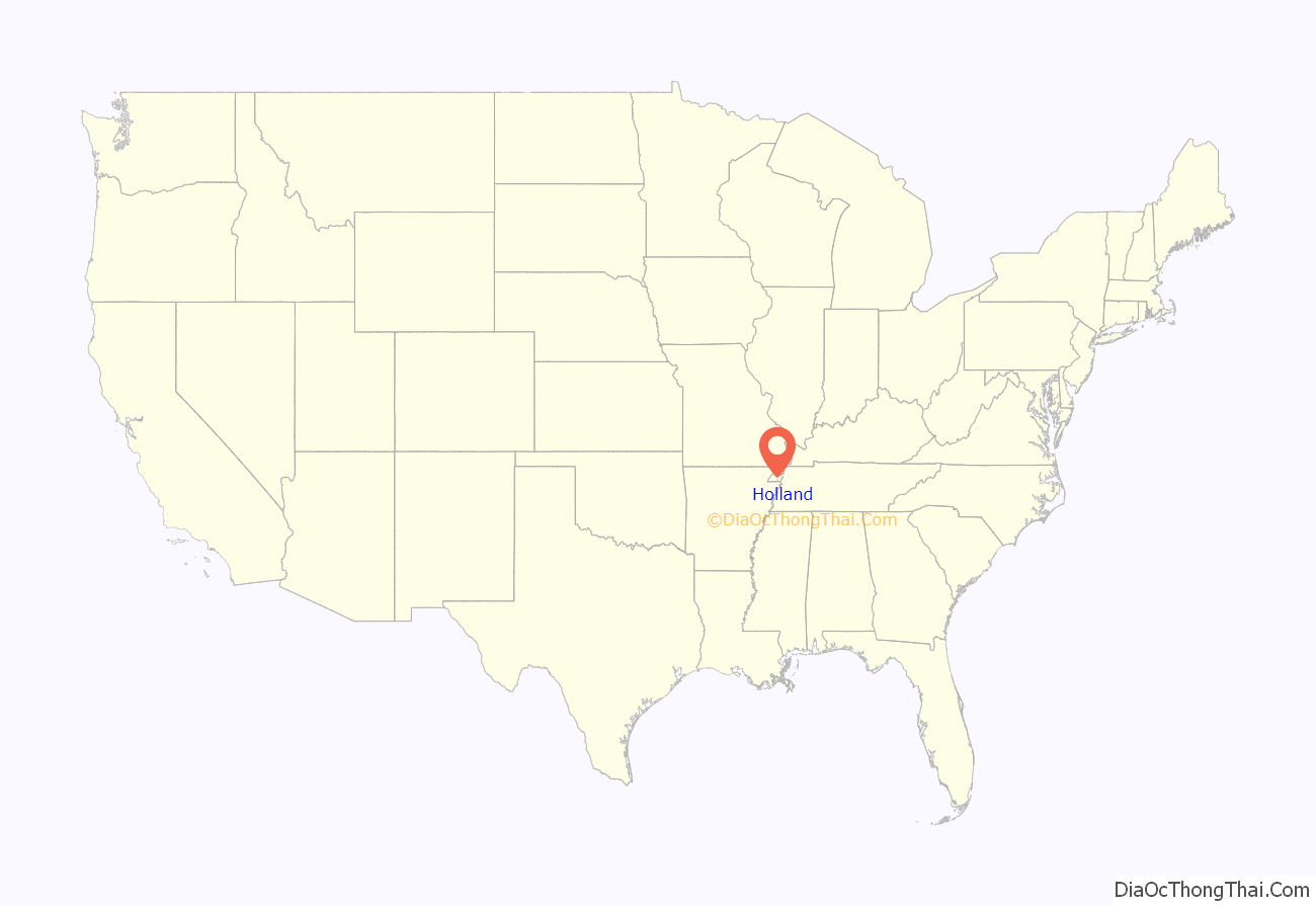
Holland location map. Where is Holland town?
History
The first permanent settlement at Holland was made in 1871. The area experienced growth with the arrival of the St. Louis–San Francisco Railway in 1901. The town site was platted in 1902, and most likely was named after J. W. Holland, an early settler. A post office called Holland has been in operation since 1900.
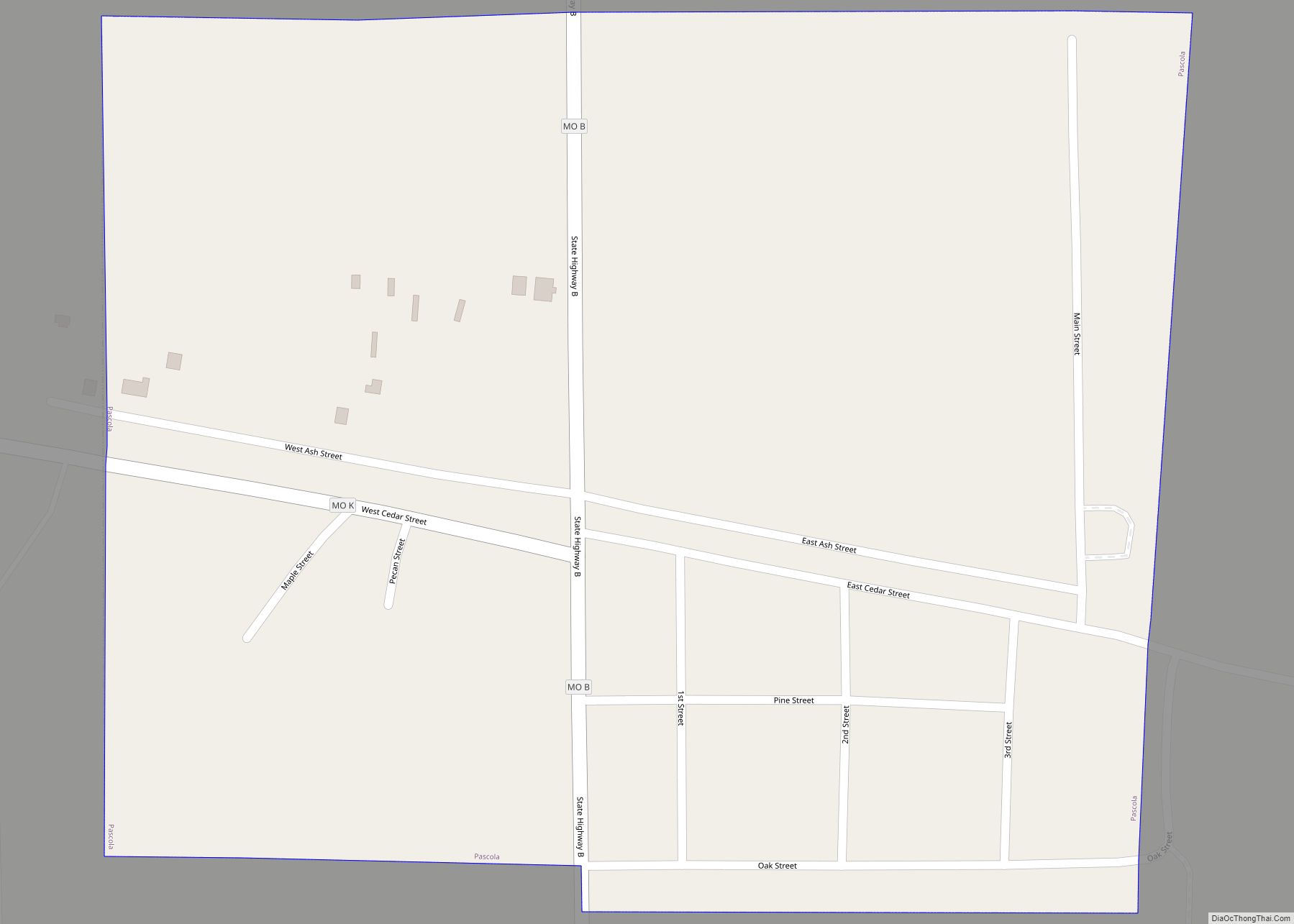
Holland Road Map
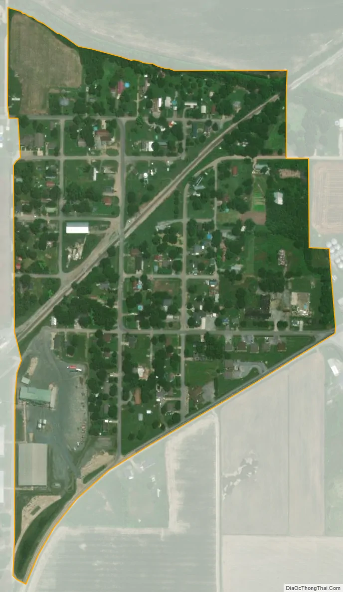
Holland city Satellite Map
Geography
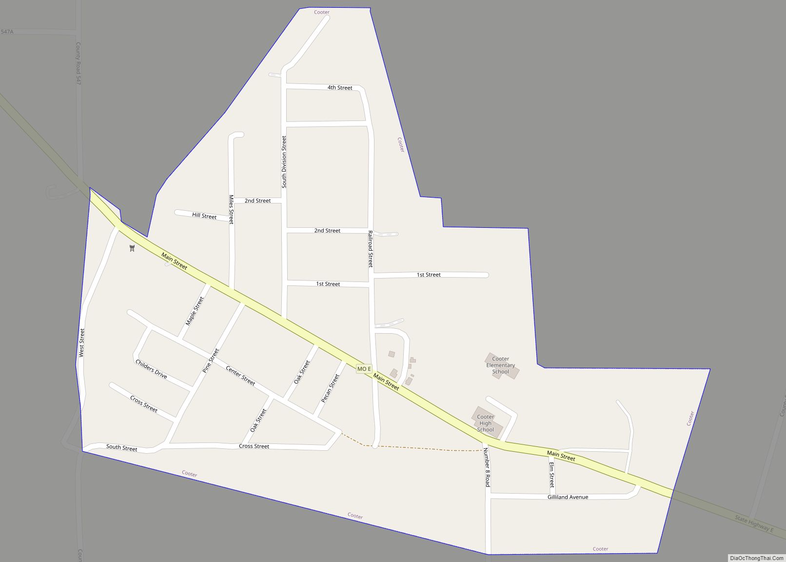
Holland lies a few miles west of the Mississippi River, and just north of the Missouri-Arkansas state line. U.S. Route 61 runs along Holland’s southern boundary, connecting the city with Steele to the northeast and Blytheville, Arkansas, to the south. State Route E connects Holland with Cooter to the southeast.
According to the United States Census Bureau, the city has a total area of 0.17 square miles (0.44 km), all land.
See also
Map of Missouri State and its subdivision:- Adair
- Andrew
- Atchison
- Audrain
- Barry
- Barton
- Bates
- Benton
- Bollinger
- Boone
- Buchanan
- Butler
- Caldwell
- Callaway
- Camden
- Cape Girardeau
- Carroll
- Carter
- Cass
- Cedar
- Chariton
- Christian
- Clark
- Clay
- Clinton
- Cole
- Cooper
- Crawford
- Dade
- Dallas
- Daviess
- De Kalb
- Dent
- Douglas
- Dunklin
- Franklin
- Gasconade
- Gentry
- Greene
- Grundy
- Harrison
- Henry
- Hickory
- Holt
- Howard
- Howell
- Iron
- Jackson
- Jasper
- Jefferson
- Johnson
- Knox
- Laclede
- Lafayette
- Lawrence
- Lewis
- Lincoln
- Linn
- Livingston
- Macon
- Madison
- Maries
- Marion
- McDonald
- Mercer
- Miller
- Mississippi
- Moniteau
- Monroe
- Montgomery
- Morgan
- New Madrid
- Newton
- Nodaway
- Oregon
- Osage
- Ozark
- Pemiscot
- Perry
- Pettis
- Phelps
- Pike
- Platte
- Polk
- Pulaski
- Putnam
- Ralls
- Randolph
- Ray
- Reynolds
- Ripley
- Saint Charles
- Saint Clair
- Saint Francois
- Saint Louis
- Sainte Genevieve
- Saline
- Schuyler
- Scotland
- Scott
- Shannon
- Shelby
- Stoddard
- Stone
- Sullivan
- Taney
- Texas
- Vernon
- Warren
- Washington
- Wayne
- Webster
- Worth
- Wright
- Alabama
- Alaska
- Arizona
- Arkansas
- California
- Colorado
- Connecticut
- Delaware
- District of Columbia
- Florida
- Georgia
- Hawaii
- Idaho
- Illinois
- Indiana
- Iowa
- Kansas
- Kentucky
- Louisiana
- Maine
- Maryland
- Massachusetts
- Michigan
- Minnesota
- Mississippi
- Missouri
- Montana
- Nebraska
- Nevada
- New Hampshire
- New Jersey
- New Mexico
- New York
- North Carolina
- North Dakota
- Ohio
- Oklahoma
- Oregon
- Pennsylvania
- Rhode Island
- South Carolina
- South Dakota
- Tennessee
- Texas
- Utah
- Vermont
- Virginia
- Washington
- West Virginia
- Wisconsin
- Wyoming