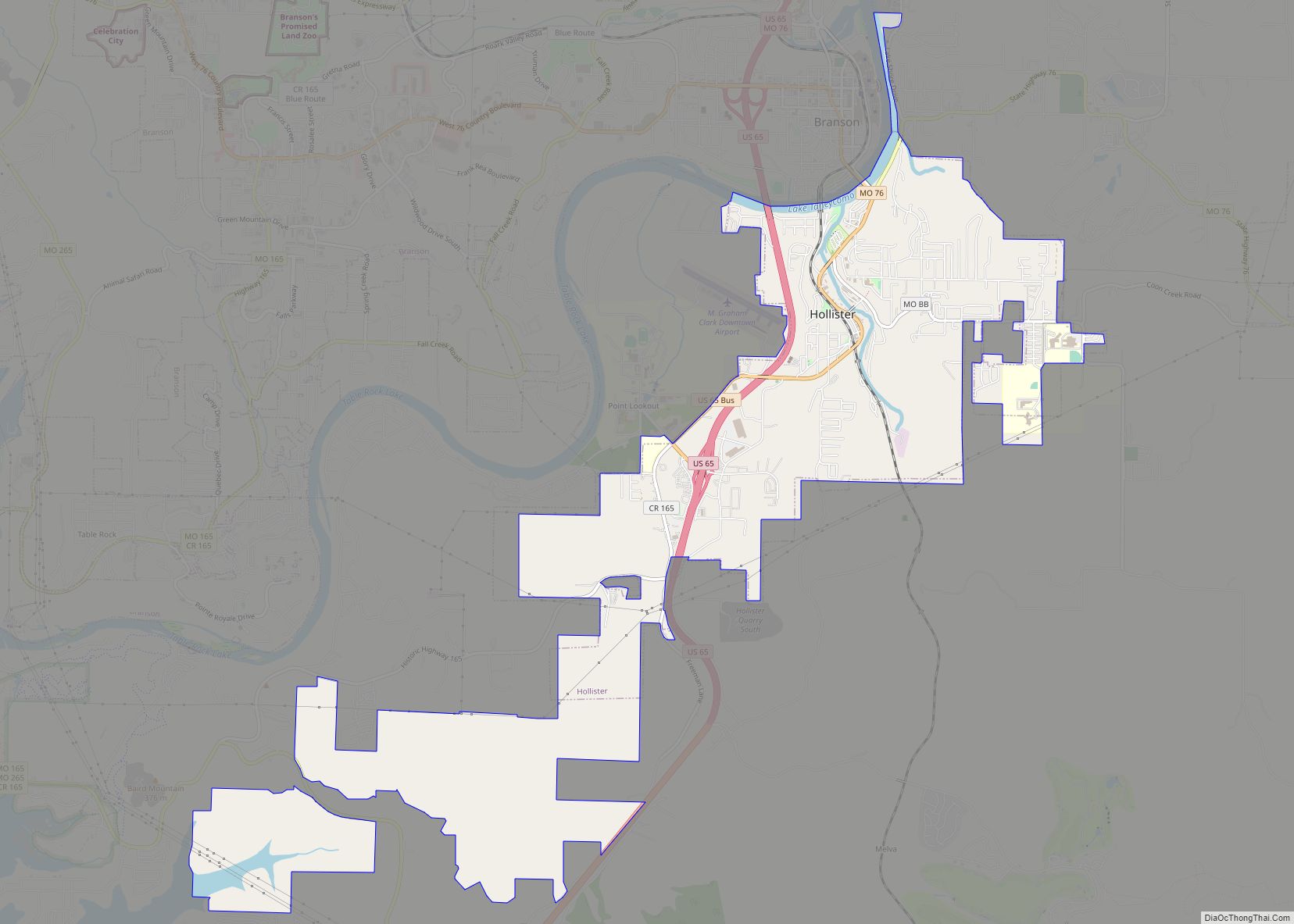
Hollister is a city in Taney County, Missouri, United States. The population was 4,583 at the 2020 census.
| Name: | Hollister city |
|---|---|
| LSAD Code: | 25 |
| LSAD Description: | city (suffix) |
| State: | Missouri |
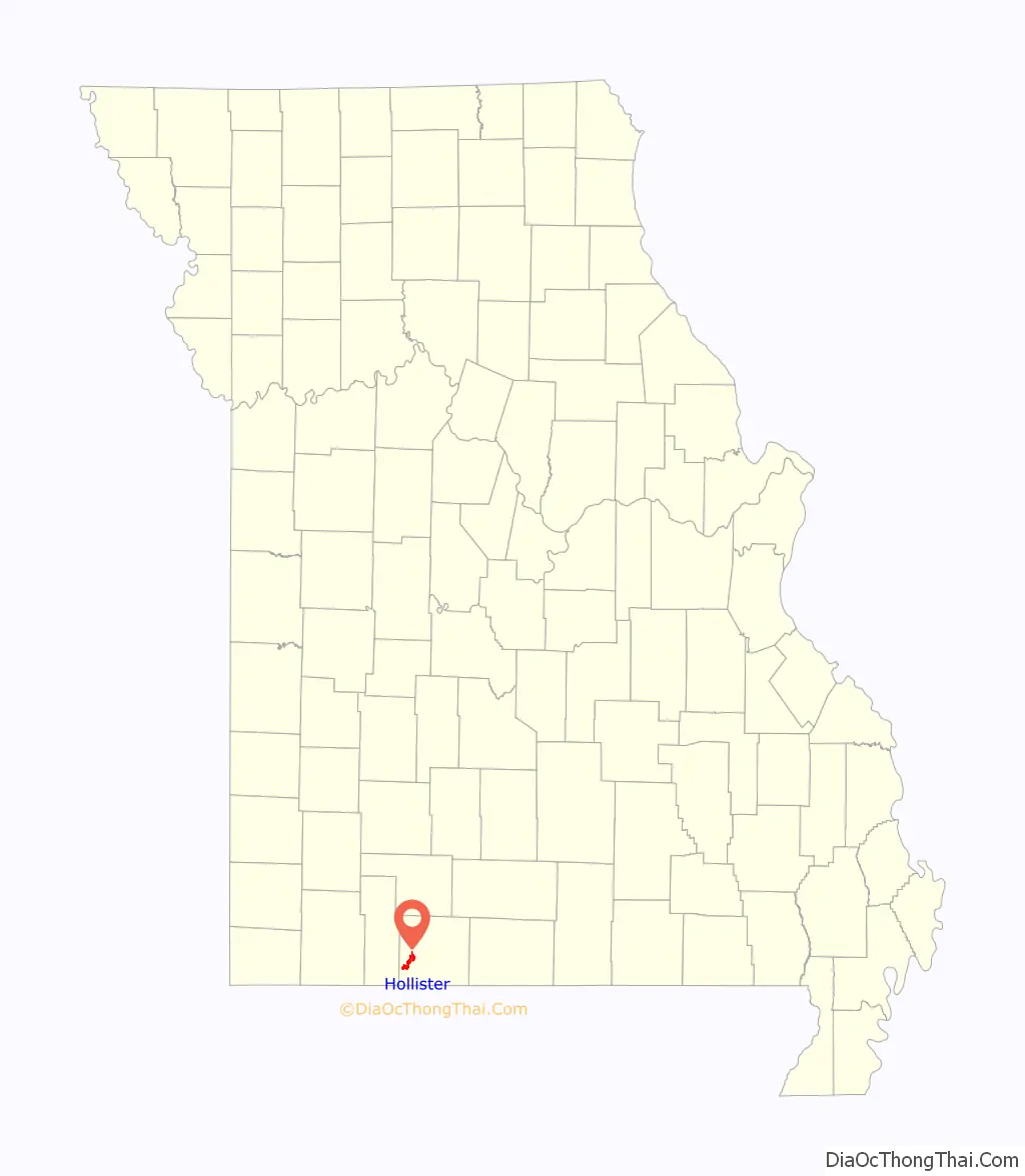
| County: | Taney County |
| Elevation: | 728 ft (222 m) |
| Total Area: | 6.37 sq mi (16.49 km²) |
| Land Area: | 6.33 sq mi (16.41 km²) |
| Water Area: | 0.03 sq mi (0.08 km²) |
| Total Population: | 4,583 |
| Population Density: | 723.56/sq mi (279.36/km²) |
| ZIP code: | 65672-65673 |
| Area code: | 417 |
| FIPS code: | 2932662 |
| Website: | cityofhollister.com |
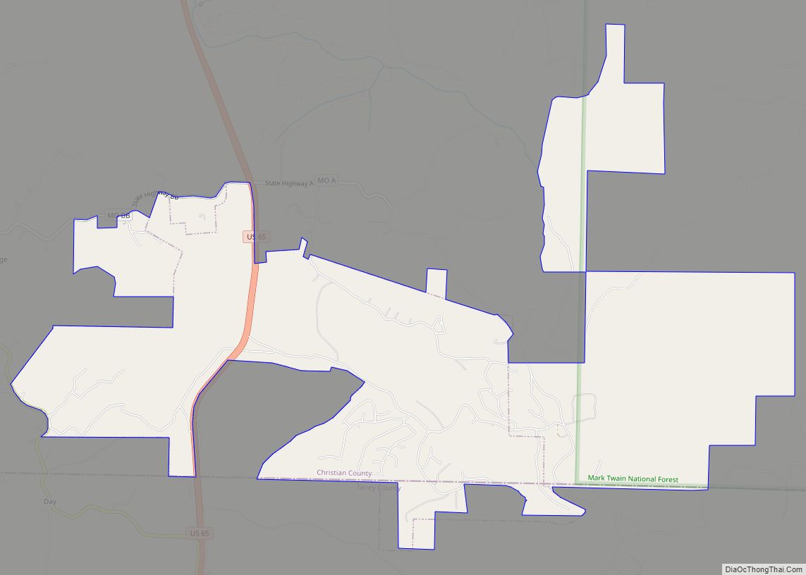
Online Interactive Map
Click on ![]() to view map in "full screen" mode.
to view map in "full screen" mode.
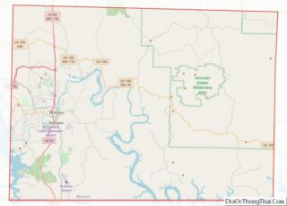
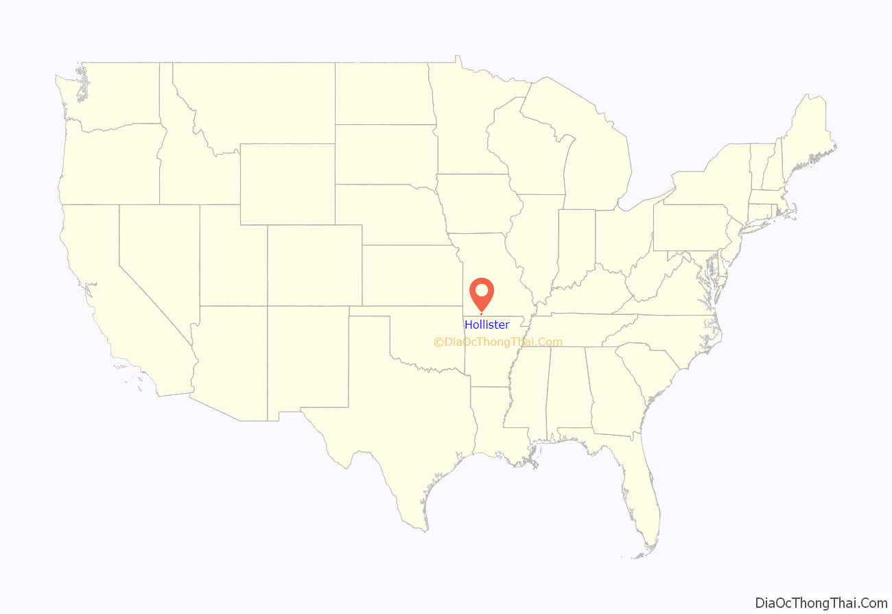
Hollister location map. Where is Hollister city?
History
Melinda Fortner settled in Hollister in the early 1880s, after establishing a claim on a 120-acre tract of land in 1867. Reuben Kirkham opened a general store and applied for a post office, suggesting the name Hollister after his daughter, born in Hollister, California. A post office called Hollister has been in operation since 1904.
The Downing Street Historic District was listed on the National Register of Historic Places in 1978.
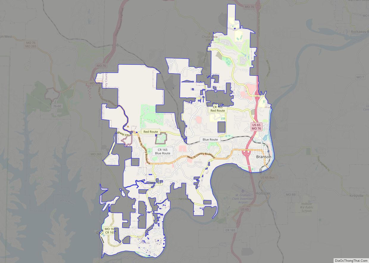
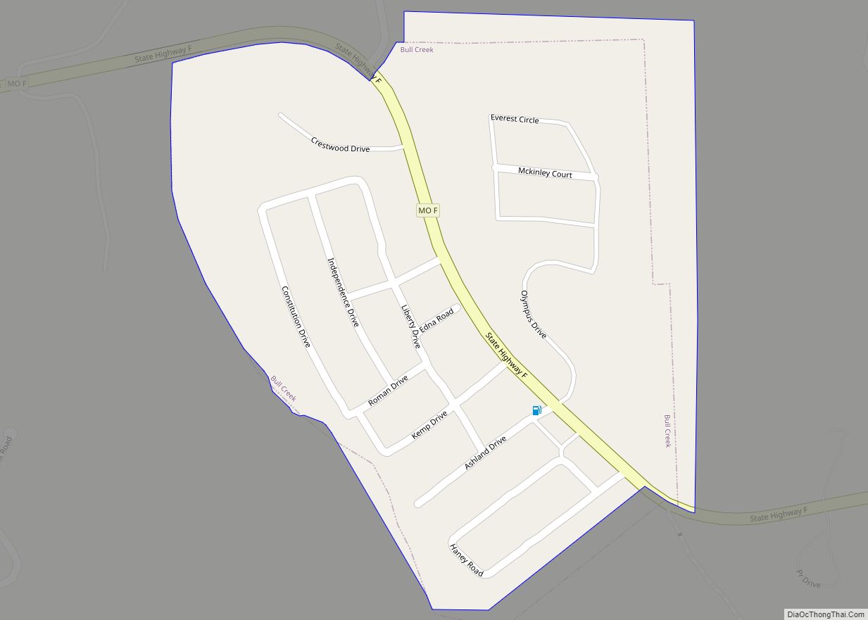
Hollister Road Map
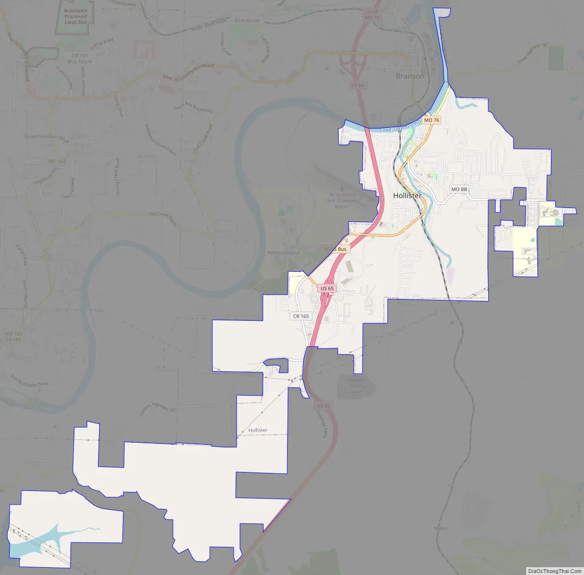
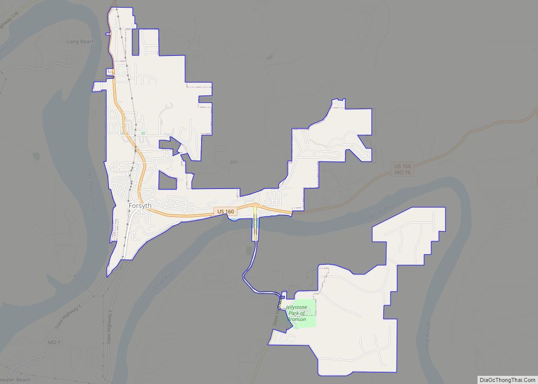
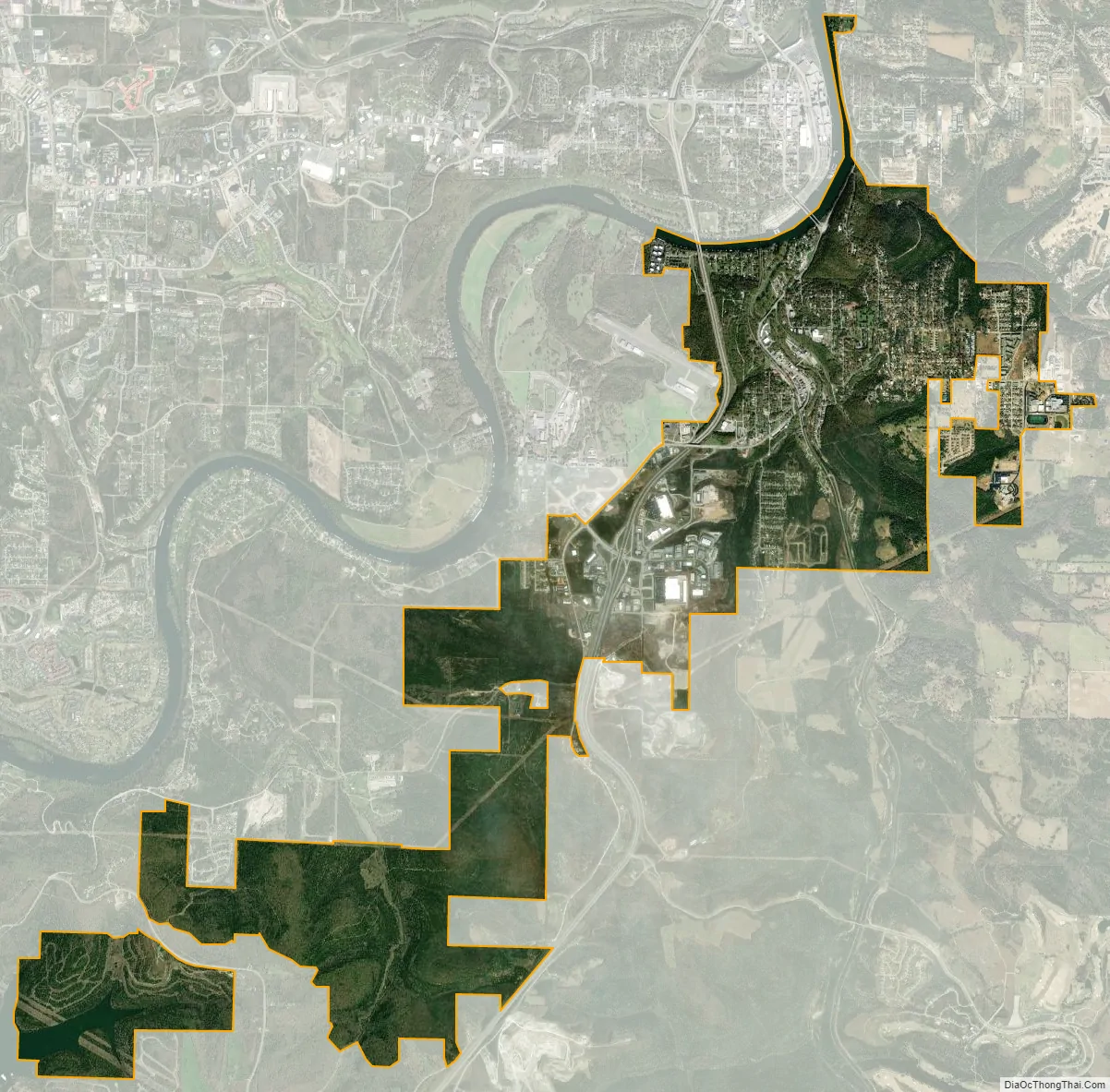
Hollister city Satellite Map
Geography
Hollister is located at 36°37′25″N 93°12′58″W / 36.623678°N 93.216158°W / 36.623678; -93.216158 (36.623678, -93.216158).
According to the United States Census Bureau, the city has a total area of 6.84 square miles (17.72 km), of which 6.68 square miles (17.30 km) is land and 0.16 square miles (0.41 km) is water.
Branson Airport is the nearest airport to Hollister.
See also
Map of Missouri State and its subdivision:- Adair
- Andrew
- Atchison
- Audrain
- Barry
- Barton
- Bates
- Benton
- Bollinger
- Boone
- Buchanan
- Butler
- Caldwell
- Callaway
- Camden
- Cape Girardeau
- Carroll
- Carter
- Cass
- Cedar
- Chariton
- Christian
- Clark
- Clay
- Clinton
- Cole
- Cooper
- Crawford
- Dade
- Dallas
- Daviess
- De Kalb
- Dent
- Douglas
- Dunklin
- Franklin
- Gasconade
- Gentry
- Greene
- Grundy
- Harrison
- Henry
- Hickory
- Holt
- Howard
- Howell
- Iron
- Jackson
- Jasper
- Jefferson
- Johnson
- Knox
- Laclede
- Lafayette
- Lawrence
- Lewis
- Lincoln
- Linn
- Livingston
- Macon
- Madison
- Maries
- Marion
- McDonald
- Mercer
- Miller
- Mississippi
- Moniteau
- Monroe
- Montgomery
- Morgan
- New Madrid
- Newton
- Nodaway
- Oregon
- Osage
- Ozark
- Pemiscot
- Perry
- Pettis
- Phelps
- Pike
- Platte
- Polk
- Pulaski
- Putnam
- Ralls
- Randolph
- Ray
- Reynolds
- Ripley
- Saint Charles
- Saint Clair
- Saint Francois
- Saint Louis
- Sainte Genevieve
- Saline
- Schuyler
- Scotland
- Scott
- Shannon
- Shelby
- Stoddard
- Stone
- Sullivan
- Taney
- Texas
- Vernon
- Warren
- Washington
- Wayne
- Webster
- Worth
- Wright
- Alabama
- Alaska
- Arizona
- Arkansas
- California
- Colorado
- Connecticut
- Delaware
- District of Columbia
- Florida
- Georgia
- Hawaii
- Idaho
- Illinois
- Indiana
- Iowa
- Kansas
- Kentucky
- Louisiana
- Maine
- Maryland
- Massachusetts
- Michigan
- Minnesota
- Mississippi
- Missouri
- Montana
- Nebraska
- Nevada
- New Hampshire
- New Jersey
- New Mexico
- New York
- North Carolina
- North Dakota
- Ohio
- Oklahoma
- Oregon
- Pennsylvania
- Rhode Island
- South Carolina
- South Dakota
- Tennessee
- Texas
- Utah
- Vermont
- Virginia
- Washington
- West Virginia
- Wisconsin
- Wyoming