Jasper is a city in Jasper County, Missouri, United States. The population within the city limits was 931 at the 2010 census. It is part of the Joplin, Missouri Metropolitan Statistical Area.
| Name: | Jasper city |
|---|---|
| LSAD Code: | 25 |
| LSAD Description: | city (suffix) |
| State: | Missouri |
| County: | Jasper County |
| Elevation: | 945 ft (288 m) |
| Total Area: | 1.13 sq mi (2.92 km²) |
| Land Area: | 1.11 sq mi (2.87 km²) |
| Water Area: | 0.02 sq mi (0.05 km²) |
| Total Population: | 906 |
| Population Density: | 817.69/sq mi (315.68/km²) |
| ZIP code: | 64755 |
| Area code: | 417 |
| FIPS code: | 2936512 |
| GNISfeature ID: | 2395460 |
Online Interactive Map
Click on ![]() to view map in "full screen" mode.
to view map in "full screen" mode.
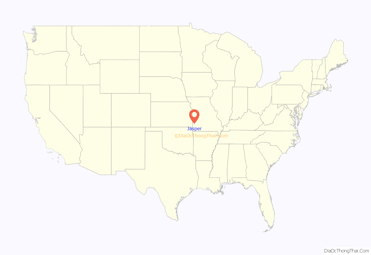
Jasper location map. Where is Jasper city?
History
Jasper has been known as Coon Creek settlement, and as Midway (a name that at times included the Dublin community just across the Barton County line) for its position between county seats Carthage and Lamar, but in the late 19th century it was renamed Jasper to reuse the postal equipment of a previous Jasper that existed southeast of Carthage.
Jasper was the home to Debra Dene Barnes Miles the year after she finished her reign as Miss America (from ‘Miss Kansas’ title) in 1968.
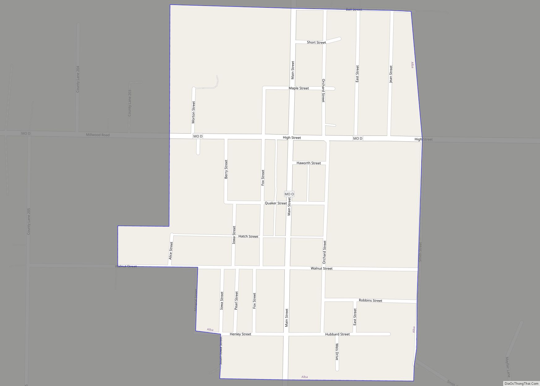
Jasper Road Map
Jasper city Satellite Map
Geography
Jasper is located one mile south of the Barton-Jasper county line. It is on U.S. Route 71 approximately ten miles south of Lamar and ten miles north of Carthage.
According to the United States Census Bureau, the city has a total area of 1.13 square miles (2.93 km), of which 1.11 square miles (2.87 km) is land and 0.02 square miles (0.05 km) is water.
See also
Map of Missouri State and its subdivision:- Adair
- Andrew
- Atchison
- Audrain
- Barry
- Barton
- Bates
- Benton
- Bollinger
- Boone
- Buchanan
- Butler
- Caldwell
- Callaway
- Camden
- Cape Girardeau
- Carroll
- Carter
- Cass
- Cedar
- Chariton
- Christian
- Clark
- Clay
- Clinton
- Cole
- Cooper
- Crawford
- Dade
- Dallas
- Daviess
- De Kalb
- Dent
- Douglas
- Dunklin
- Franklin
- Gasconade
- Gentry
- Greene
- Grundy
- Harrison
- Henry
- Hickory
- Holt
- Howard
- Howell
- Iron
- Jackson
- Jasper
- Jefferson
- Johnson
- Knox
- Laclede
- Lafayette
- Lawrence
- Lewis
- Lincoln
- Linn
- Livingston
- Macon
- Madison
- Maries
- Marion
- McDonald
- Mercer
- Miller
- Mississippi
- Moniteau
- Monroe
- Montgomery
- Morgan
- New Madrid
- Newton
- Nodaway
- Oregon
- Osage
- Ozark
- Pemiscot
- Perry
- Pettis
- Phelps
- Pike
- Platte
- Polk
- Pulaski
- Putnam
- Ralls
- Randolph
- Ray
- Reynolds
- Ripley
- Saint Charles
- Saint Clair
- Saint Francois
- Saint Louis
- Sainte Genevieve
- Saline
- Schuyler
- Scotland
- Scott
- Shannon
- Shelby
- Stoddard
- Stone
- Sullivan
- Taney
- Texas
- Vernon
- Warren
- Washington
- Wayne
- Webster
- Worth
- Wright
- Alabama
- Alaska
- Arizona
- Arkansas
- California
- Colorado
- Connecticut
- Delaware
- District of Columbia
- Florida
- Georgia
- Hawaii
- Idaho
- Illinois
- Indiana
- Iowa
- Kansas
- Kentucky
- Louisiana
- Maine
- Maryland
- Massachusetts
- Michigan
- Minnesota
- Mississippi
- Missouri
- Montana
- Nebraska
- Nevada
- New Hampshire
- New Jersey
- New Mexico
- New York
- North Carolina
- North Dakota
- Ohio
- Oklahoma
- Oregon
- Pennsylvania
- Rhode Island
- South Carolina
- South Dakota
- Tennessee
- Texas
- Utah
- Vermont
- Virginia
- Washington
- West Virginia
- Wisconsin
- Wyoming
