Lamar is a city in and the county seat of Barton County, Missouri, United States. As of the 2020 census, the city population was 4,266. It is known as the birthplace of Harry S. Truman, the 33rd president of the United States.
The city government is consolidated with City Township. The city of Lamar is surrounded by, but is not part of, Lamar Township.
| Name: | Lamar city |
|---|---|
| LSAD Code: | 25 |
| LSAD Description: | city (suffix) |
| State: | Missouri |
| County: | Barton County |
| Elevation: | 951 ft (290 m) |
| Total Area: | 5.53 sq mi (14.32 km²) |
| Land Area: | 5.21 sq mi (13.51 km²) |
| Water Area: | 0.31 sq mi (0.81 km²) |
| Total Population: | 4,266 |
| Population Density: | 818.18/sq mi (315.88/km²) |
| ZIP code: | 64759 |
| Area code: | 417 |
| FIPS code: | 2940376 |
| GNISfeature ID: | 2395617 |
| Website: | cityoflamar.org |
Online Interactive Map
Click on ![]() to view map in "full screen" mode.
to view map in "full screen" mode.
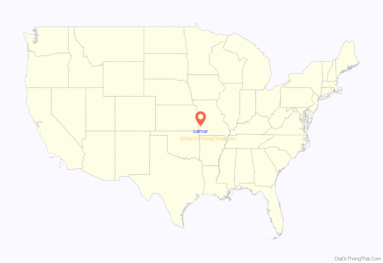
Lamar location map. Where is Lamar city?
History
Lamar was laid out in 1856. It was named for Mirabeau B. Lamar, second president of the Republic of Texas. The city suffered multiple attacks by rebels during the Civil War.
On May 28, 1919, 28-year-old Jay Lynch was lynched in Lamar. It was considered to be a sundown town prior to the Civil Rights era.
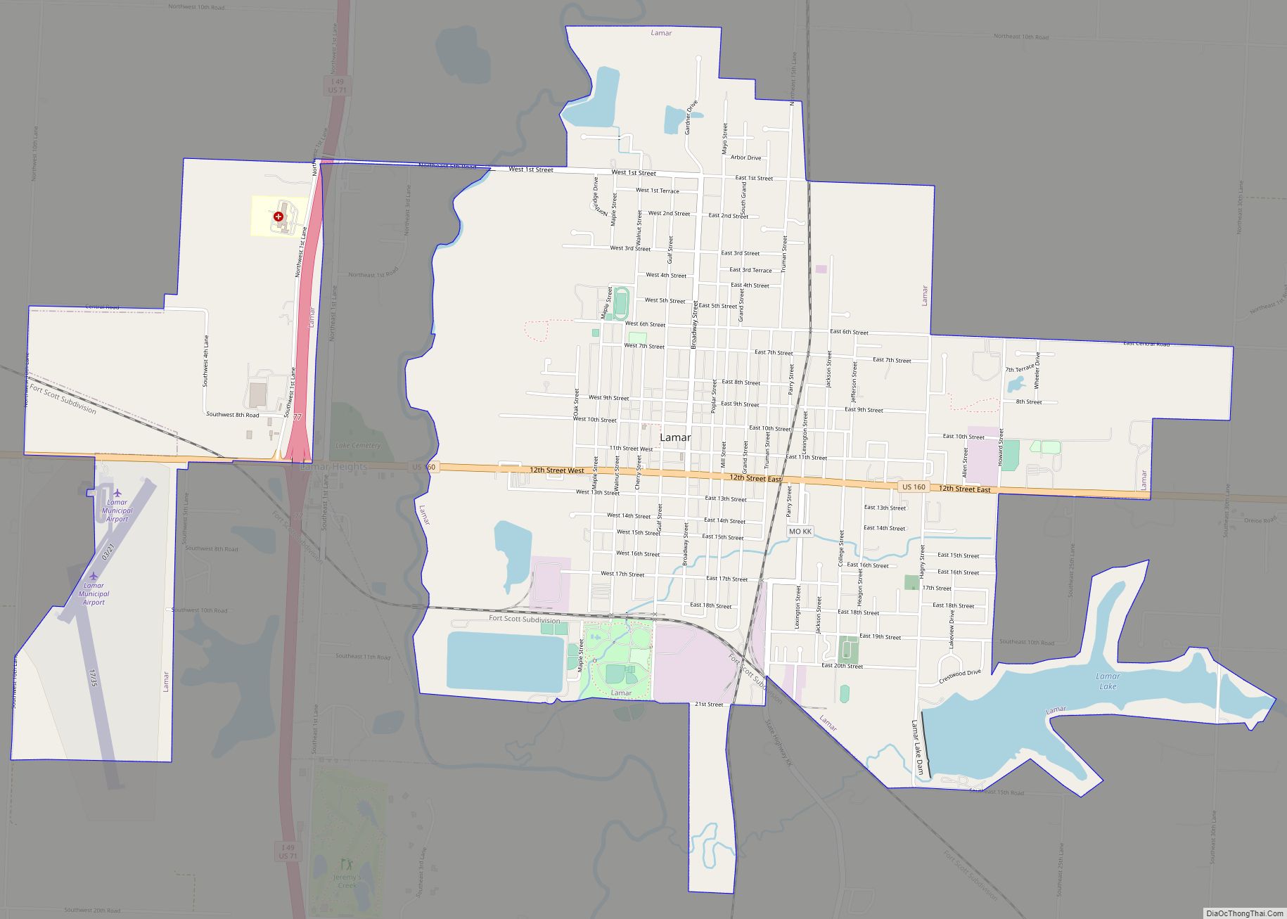
Lamar Road Map
Lamar city Satellite Map
Geography
Lamar is located in central Barton County adjacent to a bend in the North Fork Spring River and lies on US Route 160 just east of US Route 71.
According to the United States Census Bureau, the city has a total area of 5.43 square miles (14.06 km), of which 5.12 square miles (13.26 km) is land and 0.31 square miles (0.80 km) is water.
Climate
See also
Map of Missouri State and its subdivision:- Adair
- Andrew
- Atchison
- Audrain
- Barry
- Barton
- Bates
- Benton
- Bollinger
- Boone
- Buchanan
- Butler
- Caldwell
- Callaway
- Camden
- Cape Girardeau
- Carroll
- Carter
- Cass
- Cedar
- Chariton
- Christian
- Clark
- Clay
- Clinton
- Cole
- Cooper
- Crawford
- Dade
- Dallas
- Daviess
- De Kalb
- Dent
- Douglas
- Dunklin
- Franklin
- Gasconade
- Gentry
- Greene
- Grundy
- Harrison
- Henry
- Hickory
- Holt
- Howard
- Howell
- Iron
- Jackson
- Jasper
- Jefferson
- Johnson
- Knox
- Laclede
- Lafayette
- Lawrence
- Lewis
- Lincoln
- Linn
- Livingston
- Macon
- Madison
- Maries
- Marion
- McDonald
- Mercer
- Miller
- Mississippi
- Moniteau
- Monroe
- Montgomery
- Morgan
- New Madrid
- Newton
- Nodaway
- Oregon
- Osage
- Ozark
- Pemiscot
- Perry
- Pettis
- Phelps
- Pike
- Platte
- Polk
- Pulaski
- Putnam
- Ralls
- Randolph
- Ray
- Reynolds
- Ripley
- Saint Charles
- Saint Clair
- Saint Francois
- Saint Louis
- Sainte Genevieve
- Saline
- Schuyler
- Scotland
- Scott
- Shannon
- Shelby
- Stoddard
- Stone
- Sullivan
- Taney
- Texas
- Vernon
- Warren
- Washington
- Wayne
- Webster
- Worth
- Wright
- Alabama
- Alaska
- Arizona
- Arkansas
- California
- Colorado
- Connecticut
- Delaware
- District of Columbia
- Florida
- Georgia
- Hawaii
- Idaho
- Illinois
- Indiana
- Iowa
- Kansas
- Kentucky
- Louisiana
- Maine
- Maryland
- Massachusetts
- Michigan
- Minnesota
- Mississippi
- Missouri
- Montana
- Nebraska
- Nevada
- New Hampshire
- New Jersey
- New Mexico
- New York
- North Carolina
- North Dakota
- Ohio
- Oklahoma
- Oregon
- Pennsylvania
- Rhode Island
- South Carolina
- South Dakota
- Tennessee
- Texas
- Utah
- Vermont
- Virginia
- Washington
- West Virginia
- Wisconsin
- Wyoming
