Lewistown is a city in Lewis County, Missouri, United States. The population was 521 at the 2020 census. It is part of the Quincy, IL–MO Micropolitan Statistical Area. It is located on Missouri Route 6 near the junction of Route 6 with Missouri Route 16. Lewistown is in the Lewis County C-1 school district.
| Name: | Lewistown town |
|---|---|
| LSAD Code: | 43 |
| LSAD Description: | town (suffix) |
| State: | Missouri |
| County: | Lewis County |
| Elevation: | 725 ft (221 m) |
| Total Area: | 0.50 sq mi (1.30 km²) |
| Land Area: | 0.50 sq mi (1.30 km²) |
| Water Area: | 0.00 sq mi (0.00 km²) |
| Total Population: | 521 |
| Population Density: | 1,039.92/sq mi (401.67/km²) |
| ZIP code: | 63452 |
| Area code: | 573 |
| FIPS code: | 2941852 |
| GNISfeature ID: | 2396715 |
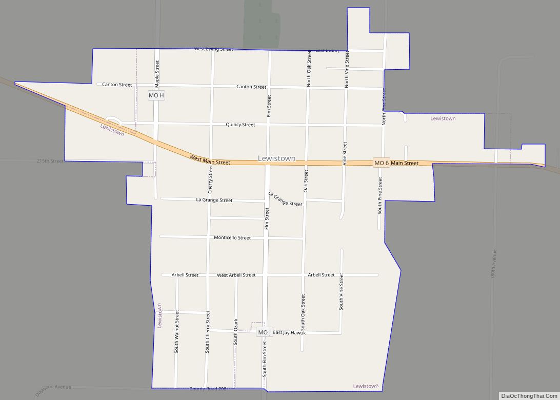
Online Interactive Map
Click on ![]() to view map in "full screen" mode.
to view map in "full screen" mode.
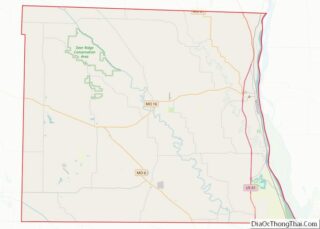
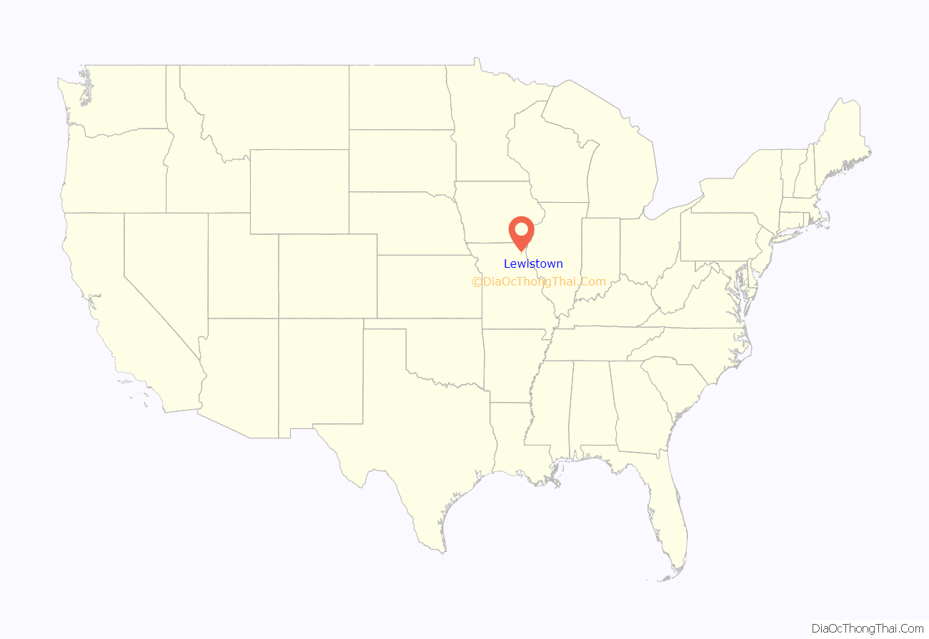
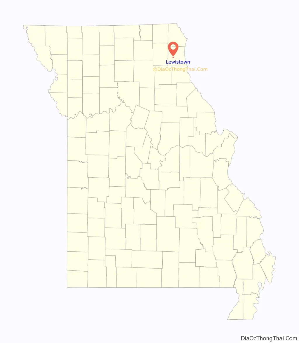
Lewistown location map. Where is Lewistown town?
History
Lewistown was platted in 1871 when the railroad was extended to that point. The community took its name from Lewis County. A post office called Lewiston was established in 1872, and the name was changed to Lewistown in 1897.
The Quincy, Missouri, and Pacific Railroad Station was listed on the National Register of Historic Places in 1979.
Lewistown Road Map

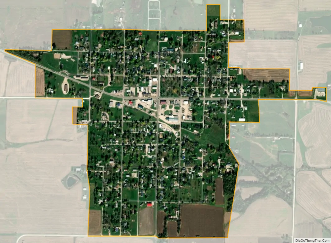
Lewistown city Satellite Map
Geography
According to the United States Census Bureau, the city has a total area of 0.48 square miles (1.24 km), all land.
See also
Map of Missouri State and its subdivision:- Adair
- Andrew
- Atchison
- Audrain
- Barry
- Barton
- Bates
- Benton
- Bollinger
- Boone
- Buchanan
- Butler
- Caldwell
- Callaway
- Camden
- Cape Girardeau
- Carroll
- Carter
- Cass
- Cedar
- Chariton
- Christian
- Clark
- Clay
- Clinton
- Cole
- Cooper
- Crawford
- Dade
- Dallas
- Daviess
- De Kalb
- Dent
- Douglas
- Dunklin
- Franklin
- Gasconade
- Gentry
- Greene
- Grundy
- Harrison
- Henry
- Hickory
- Holt
- Howard
- Howell
- Iron
- Jackson
- Jasper
- Jefferson
- Johnson
- Knox
- Laclede
- Lafayette
- Lawrence
- Lewis
- Lincoln
- Linn
- Livingston
- Macon
- Madison
- Maries
- Marion
- McDonald
- Mercer
- Miller
- Mississippi
- Moniteau
- Monroe
- Montgomery
- Morgan
- New Madrid
- Newton
- Nodaway
- Oregon
- Osage
- Ozark
- Pemiscot
- Perry
- Pettis
- Phelps
- Pike
- Platte
- Polk
- Pulaski
- Putnam
- Ralls
- Randolph
- Ray
- Reynolds
- Ripley
- Saint Charles
- Saint Clair
- Saint Francois
- Saint Louis
- Sainte Genevieve
- Saline
- Schuyler
- Scotland
- Scott
- Shannon
- Shelby
- Stoddard
- Stone
- Sullivan
- Taney
- Texas
- Vernon
- Warren
- Washington
- Wayne
- Webster
- Worth
- Wright
- Alabama
- Alaska
- Arizona
- Arkansas
- California
- Colorado
- Connecticut
- Delaware
- District of Columbia
- Florida
- Georgia
- Hawaii
- Idaho
- Illinois
- Indiana
- Iowa
- Kansas
- Kentucky
- Louisiana
- Maine
- Maryland
- Massachusetts
- Michigan
- Minnesota
- Mississippi
- Missouri
- Montana
- Nebraska
- Nevada
- New Hampshire
- New Jersey
- New Mexico
- New York
- North Carolina
- North Dakota
- Ohio
- Oklahoma
- Oregon
- Pennsylvania
- Rhode Island
- South Carolina
- South Dakota
- Tennessee
- Texas
- Utah
- Vermont
- Virginia
- Washington
- West Virginia
- Wisconsin
- Wyoming