Macks Creek is an unincorporated community and census-designated place in southwest Camden County, Missouri, United States. The population was 244 at the 2010 census.
| Name: | Macks Creek CDP |
|---|---|
| LSAD Code: | 57 |
| LSAD Description: | CDP (suffix) |
| State: | Missouri |
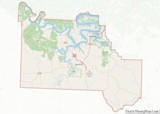
| County: | Camden County |
| Elevation: | 876 ft (267 m) |
| Total Area: | 1.93 sq mi (5.01 km²) |
| Land Area: | 1.93 sq mi (5.00 km²) |
| Water Area: | 0.01 sq mi (0.01 km²) |
| Total Population: | 365 |
| Population Density: | 189.12/sq mi (73.01/km²) |
| ZIP code: | 65786 |
| Area code: | 573 |
| FIPS code: | 2945218 |
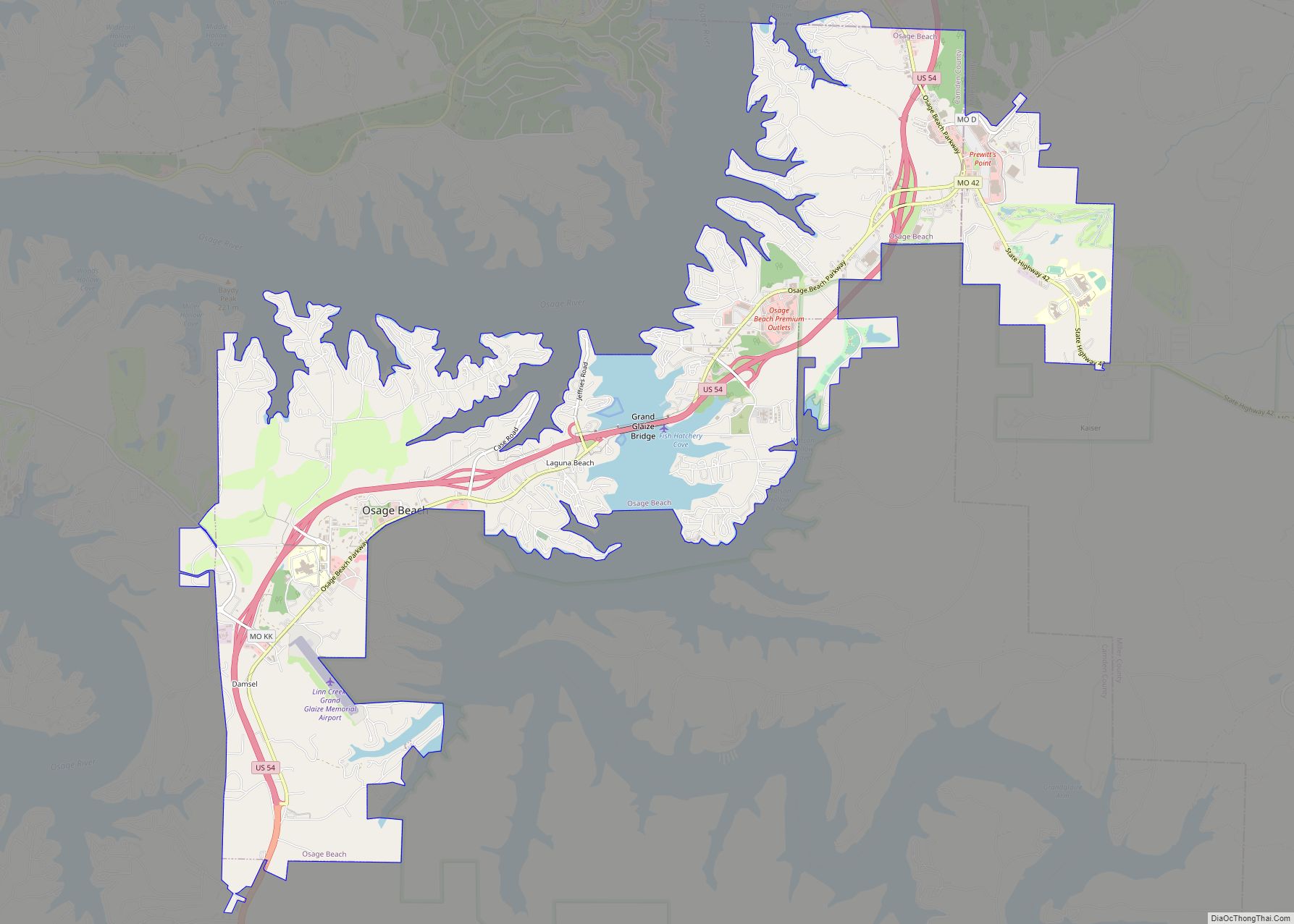
Online Interactive Map
Click on ![]() to view map in "full screen" mode.
to view map in "full screen" mode.
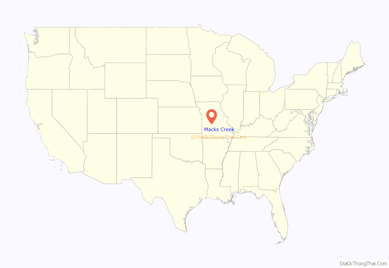
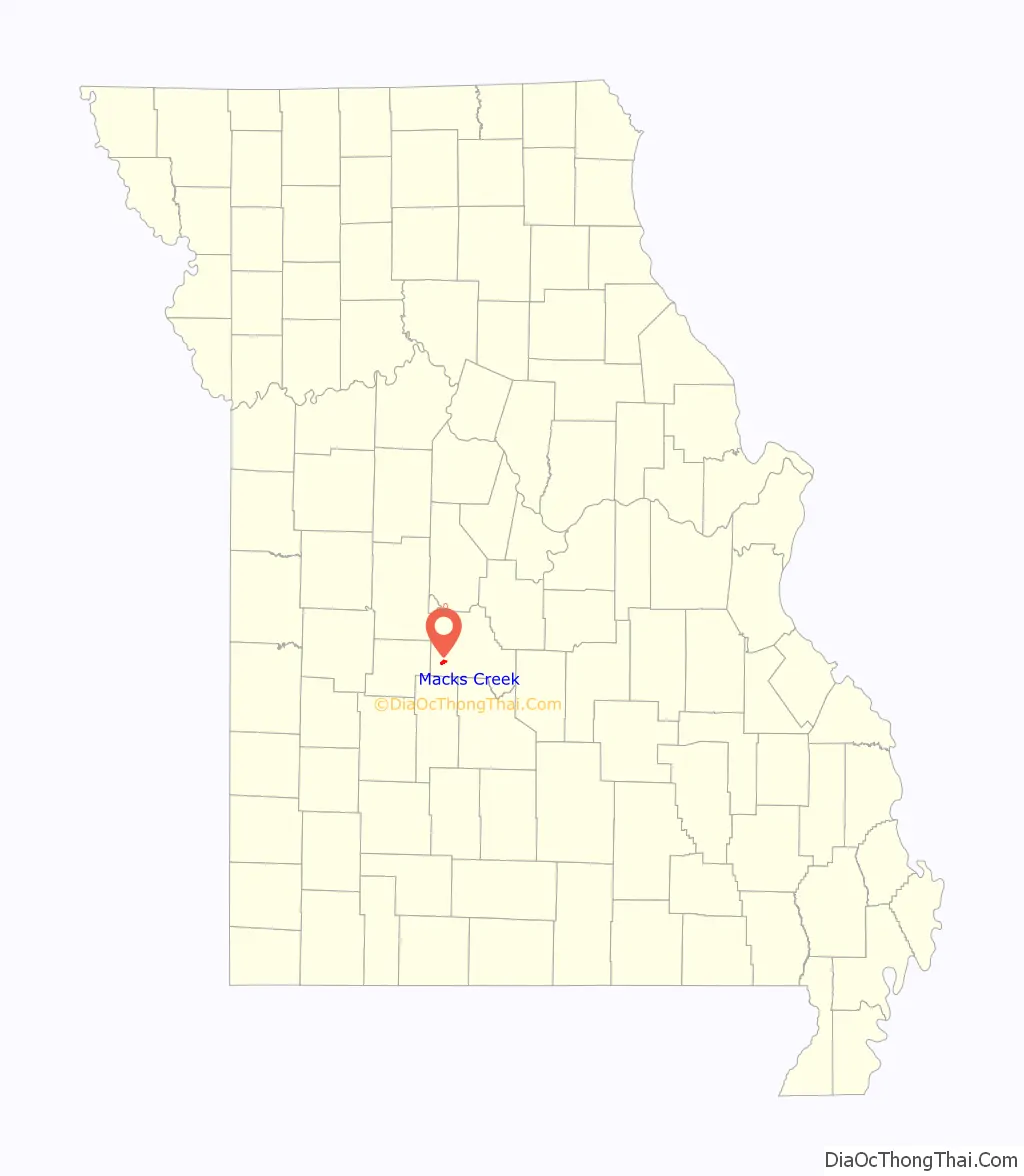
Macks Creek location map. Where is Macks Creek CDP?
History
A post office called Macks Creek has been in operation since 1872. The community takes its name from a nearby creek of the same name, which most likely was named after the local Mack or Hack family.
In 1997, a state audit of Macks Creek’s treasury uncovered major financial woes. Shortly afterward, virtually every town official resigned from office and the city itself declared bankruptcy.
In 2012, voters approved dissolving the town with 69% in favor of the motion; above the required amount of 60%.
Speed trap designation
For years, Macks Creek had one of the most infamous speed traps in the nation, with a strictly enforced 45 MPH speed limit along US 54, which had a 55 MPH speed limit on either side of town. In 1995, this practice ended when the state of Missouri passed a law prohibiting cities and towns from collecting more than 45% of their total revenue from speeding tickets. Macks Creek reportedly had been collecting approximately 85% of its revenue from speeding tickets. The police department later resigned as well as the mayor. In May of 2022, Reason magazine reported that, “If a small town has a law named after it, it’s probably not for a good reason. Such was the case with Macks Creek, an obnoxious speed trap that inspired the Missouri legislature to pass the Macks Creek Law in 1995. This bill capped the percentage of annual revenue that towns could generate from ticket fines at 45 percent.”
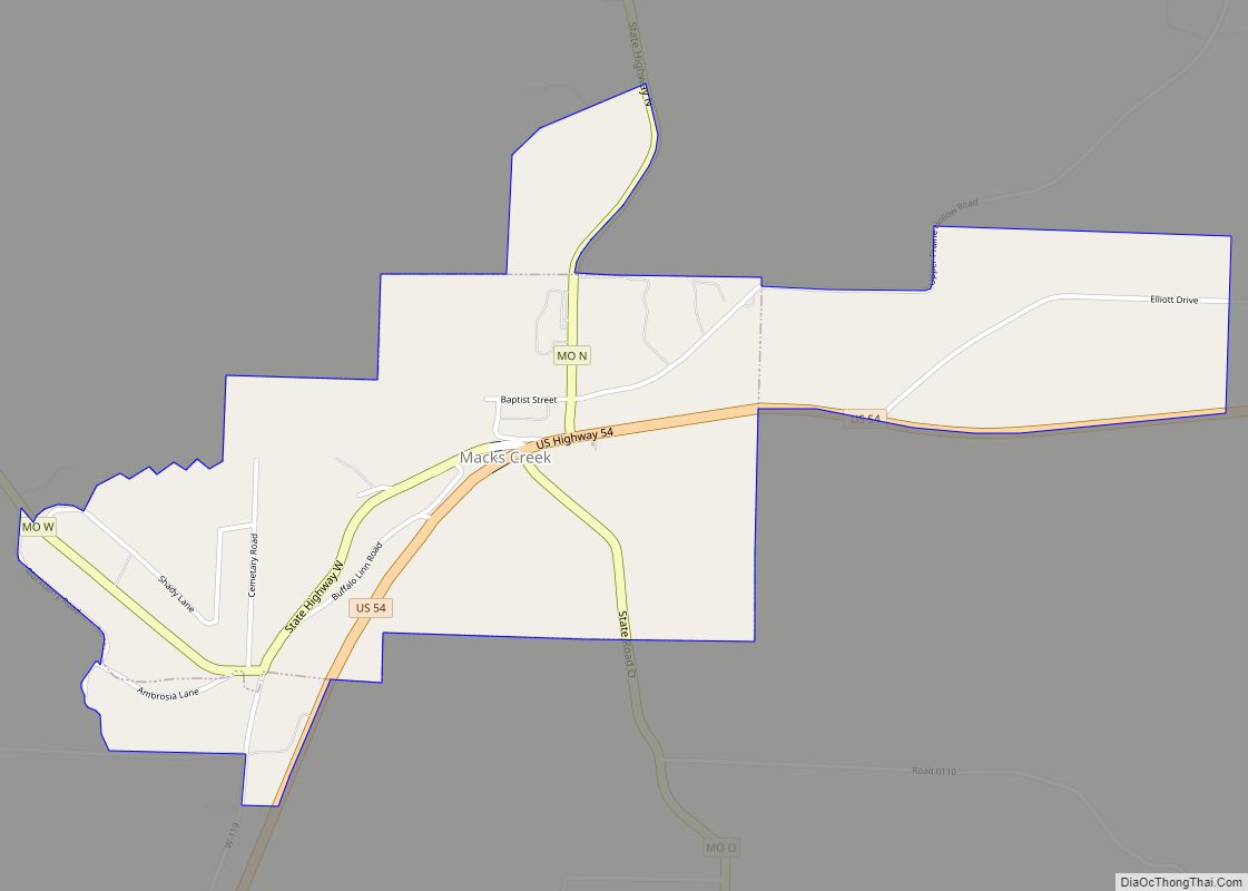
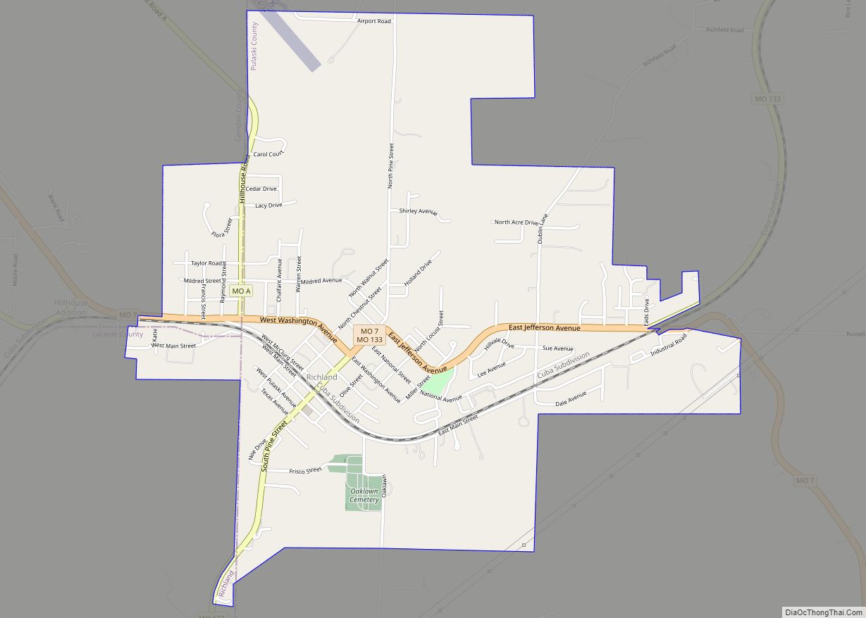
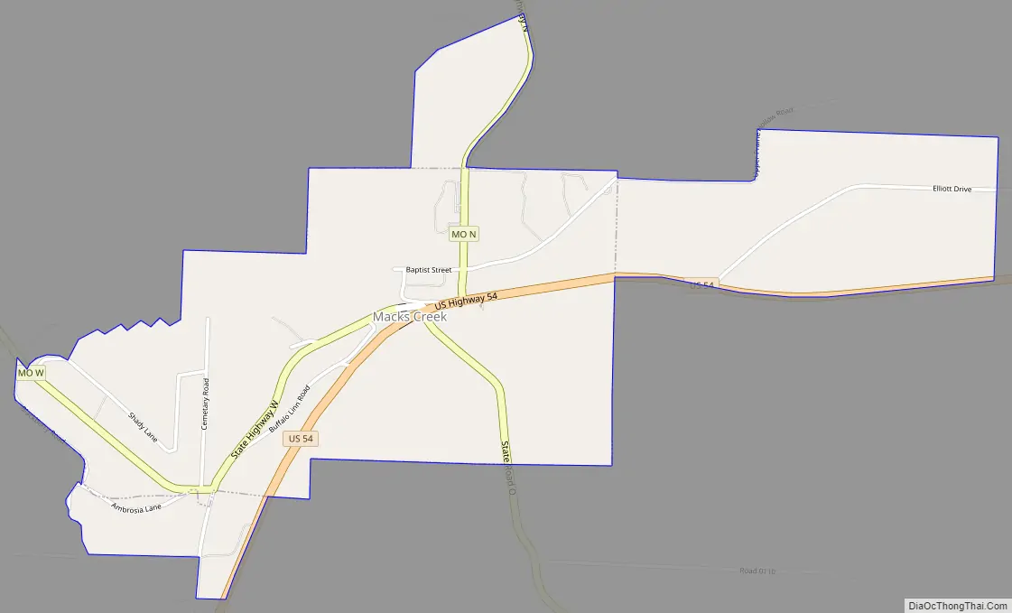
Macks Creek Road Map
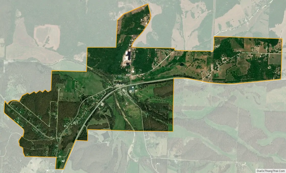
Macks Creek city Satellite Map
Geography
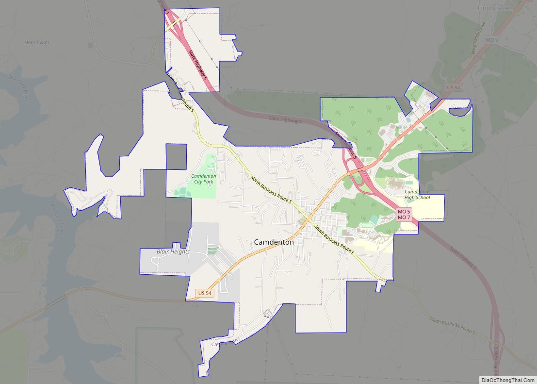
Macks Creek is located on Macks Creek and U.S. Route 54, twelve miles west of Camdenton and twelve miles east of Preston.
According to the United States Census Bureau, the city has a total area of 1.18 square miles (3.06 km), of which 1.17 square miles (3.03 km) is land and 0.01 square miles (0.03 km) is water.
See also
Map of Missouri State and its subdivision:- Adair
- Andrew
- Atchison
- Audrain
- Barry
- Barton
- Bates
- Benton
- Bollinger
- Boone
- Buchanan
- Butler
- Caldwell
- Callaway
- Camden
- Cape Girardeau
- Carroll
- Carter
- Cass
- Cedar
- Chariton
- Christian
- Clark
- Clay
- Clinton
- Cole
- Cooper
- Crawford
- Dade
- Dallas
- Daviess
- De Kalb
- Dent
- Douglas
- Dunklin
- Franklin
- Gasconade
- Gentry
- Greene
- Grundy
- Harrison
- Henry
- Hickory
- Holt
- Howard
- Howell
- Iron
- Jackson
- Jasper
- Jefferson
- Johnson
- Knox
- Laclede
- Lafayette
- Lawrence
- Lewis
- Lincoln
- Linn
- Livingston
- Macon
- Madison
- Maries
- Marion
- McDonald
- Mercer
- Miller
- Mississippi
- Moniteau
- Monroe
- Montgomery
- Morgan
- New Madrid
- Newton
- Nodaway
- Oregon
- Osage
- Ozark
- Pemiscot
- Perry
- Pettis
- Phelps
- Pike
- Platte
- Polk
- Pulaski
- Putnam
- Ralls
- Randolph
- Ray
- Reynolds
- Ripley
- Saint Charles
- Saint Clair
- Saint Francois
- Saint Louis
- Sainte Genevieve
- Saline
- Schuyler
- Scotland
- Scott
- Shannon
- Shelby
- Stoddard
- Stone
- Sullivan
- Taney
- Texas
- Vernon
- Warren
- Washington
- Wayne
- Webster
- Worth
- Wright
- Alabama
- Alaska
- Arizona
- Arkansas
- California
- Colorado
- Connecticut
- Delaware
- District of Columbia
- Florida
- Georgia
- Hawaii
- Idaho
- Illinois
- Indiana
- Iowa
- Kansas
- Kentucky
- Louisiana
- Maine
- Maryland
- Massachusetts
- Michigan
- Minnesota
- Mississippi
- Missouri
- Montana
- Nebraska
- Nevada
- New Hampshire
- New Jersey
- New Mexico
- New York
- North Carolina
- North Dakota
- Ohio
- Oklahoma
- Oregon
- Pennsylvania
- Rhode Island
- South Carolina
- South Dakota
- Tennessee
- Texas
- Utah
- Vermont
- Virginia
- Washington
- West Virginia
- Wisconsin
- Wyoming