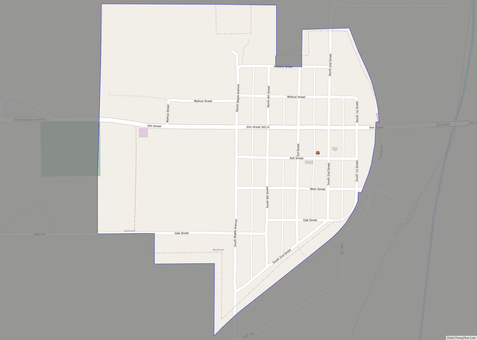
Maitland is a city in Holt County, Missouri, United States. The population was 276 at the 2020 census. At one point the city billed itself as the “Bluegrass Mecca”—home to the largest bluegrass farm in the world.
| Name: | Maitland city |
|---|---|
| LSAD Code: | 25 |
| LSAD Description: | city (suffix) |
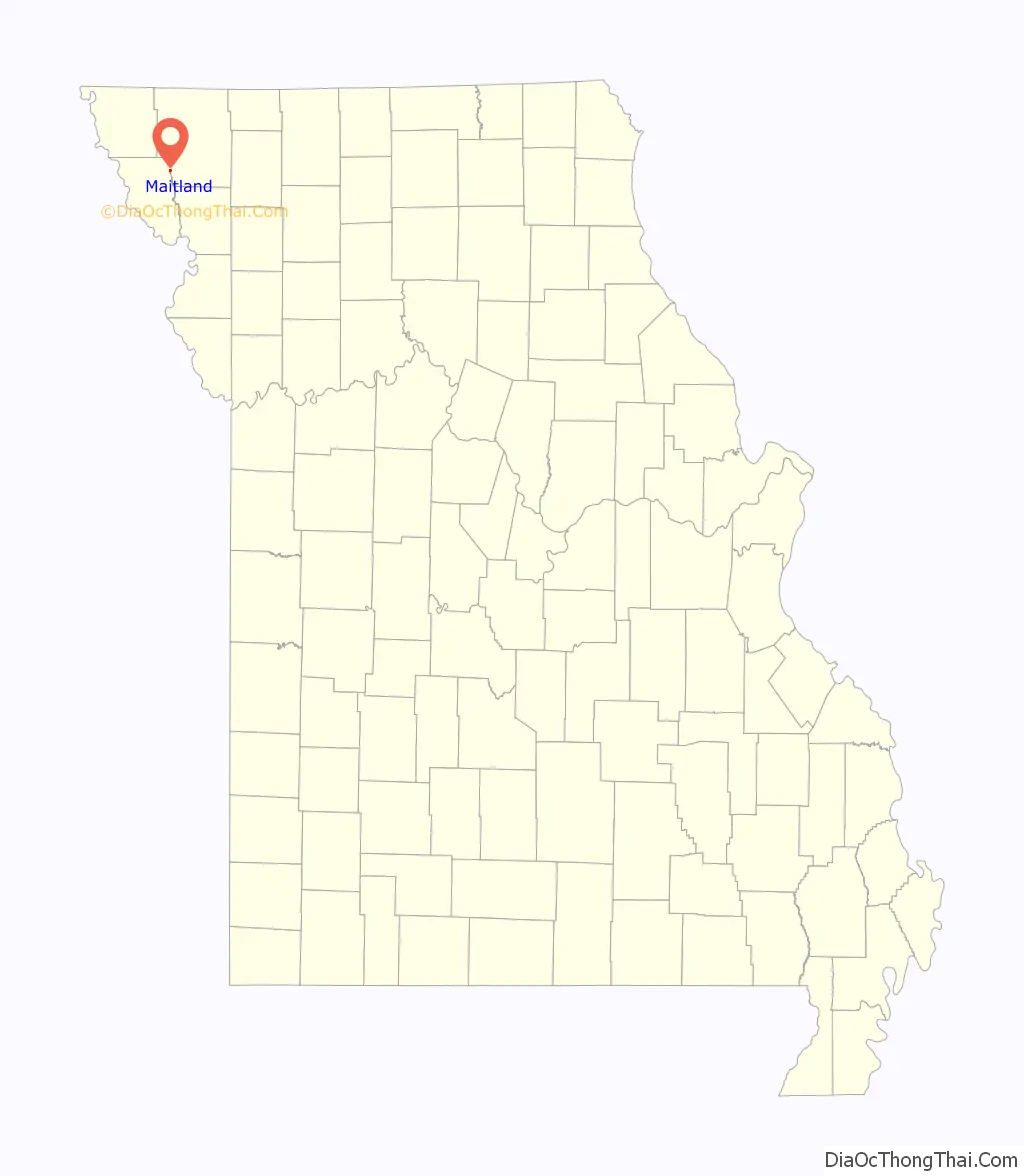
| State: | Missouri |
| County: | Holt County |
| Elevation: | 942 ft (287 m) |
| Total Area: | 0.31 sq mi (0.81 km²) |
| Land Area: | 0.31 sq mi (0.81 km²) |
| Water Area: | 0.00 sq mi (0.00 km²) |
| Total Population: | 276 |
| Population Density: | 884.62/sq mi (341.07/km²) |
| ZIP code: | 64466 |
| Area code: | 660 |
| FIPS code: | 2945596 |
| GNISfeature ID: | 2395819 |
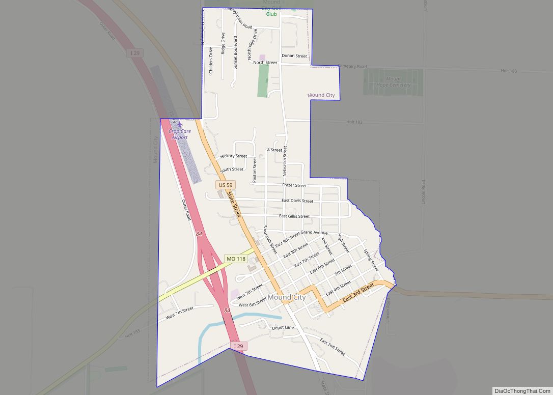
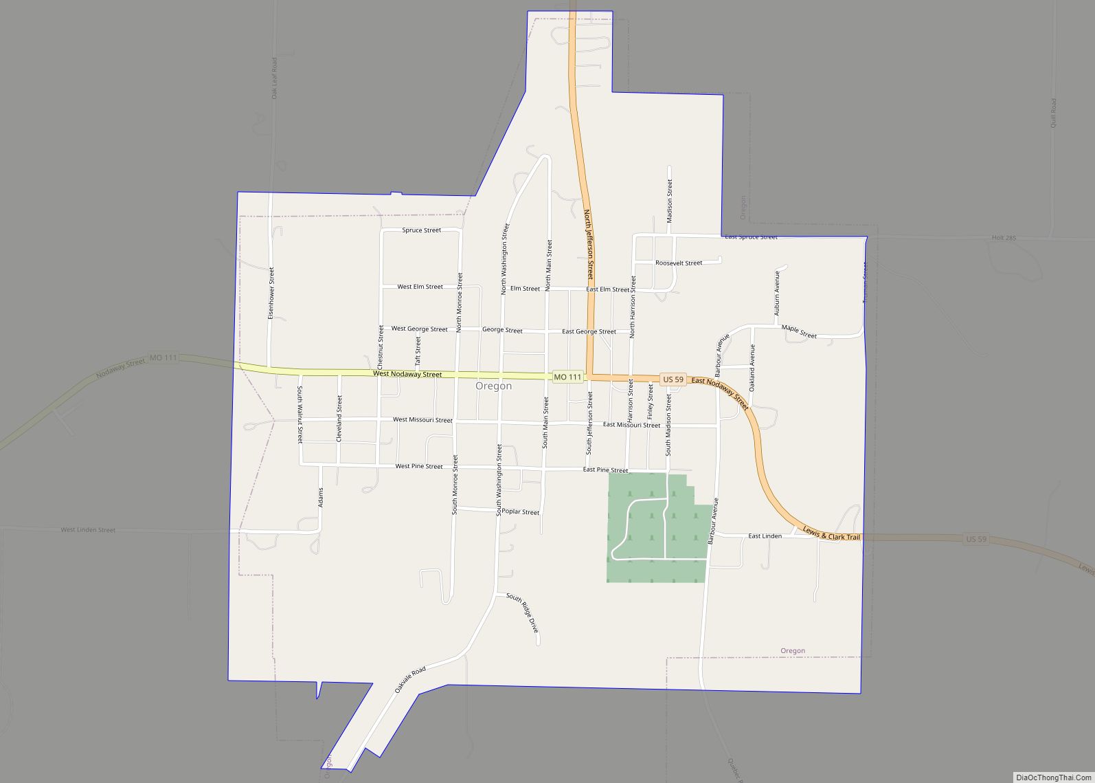
Online Interactive Map
Click on ![]() to view map in "full screen" mode.
to view map in "full screen" mode.
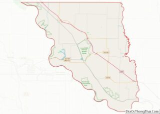
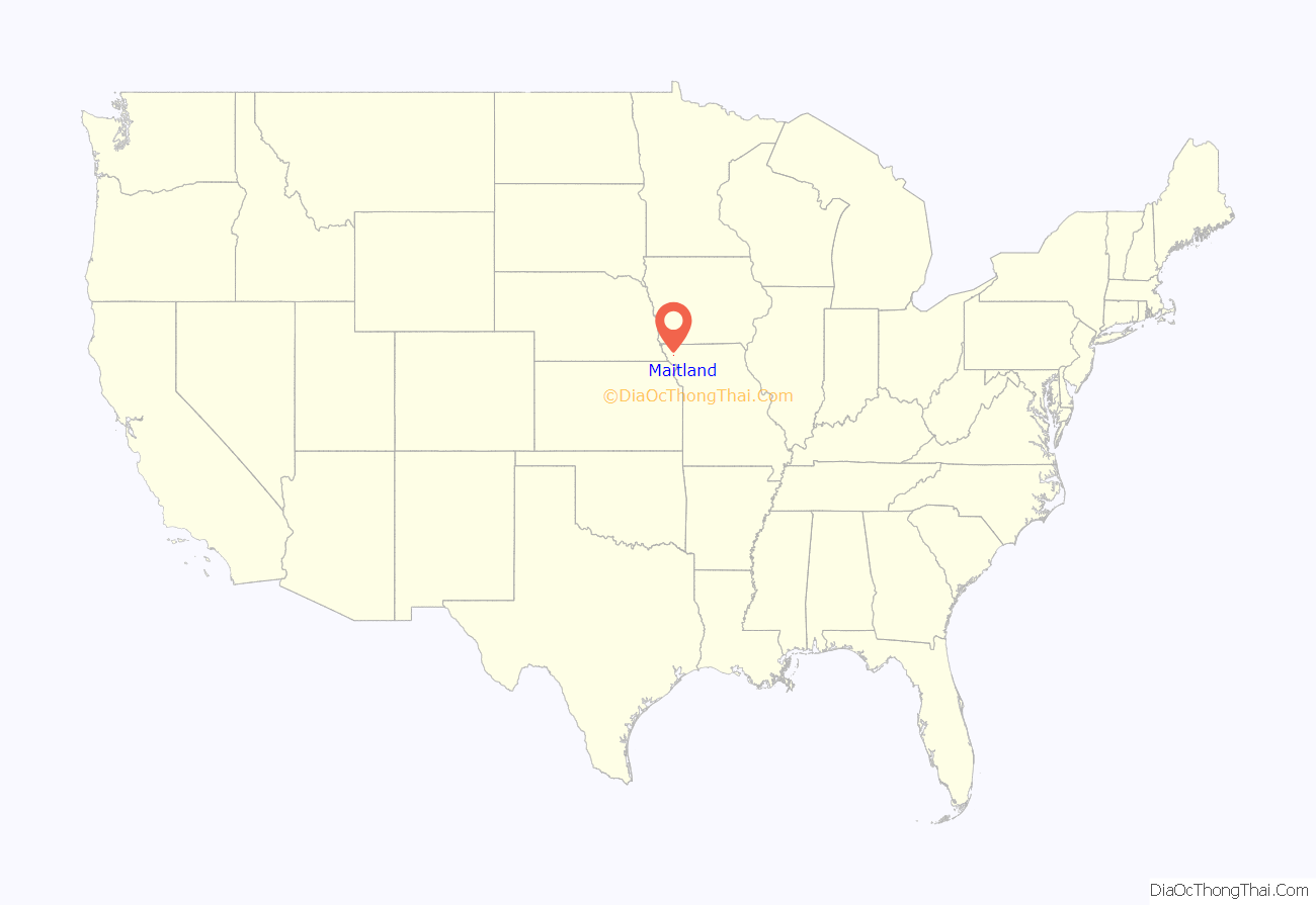
Maitland location map. Where is Maitland city?
History
Maitland was platted in 1880. The town is named after John Skirving Maitland, who was a surveyor for the Nodaway Valley Railroad (the construction company for the Kansas City, St. Joseph and Council Bluffs Railroad) that arrived in Maitland in 1880 when its superintendent, John Fisk Barnard, purchased the land for the town from John S. and Delila Swope. The railroad would eventually be taken over by the Burlington Northern Railroad before eventually being abandoned.
Maitland is a farming community. One of the farmers from Maitland was David Ward King, inventor and promoter of the King road drag—an invention that essentially was two logs lashed together and dragged behind horse or mule teams that was an effective and inexpensive method to grade dirt roads. It was the horse-drawn forerunner of the modern road grader. The invention came at the time Henry Ford started to mass-produce automobiles. Before its invention, wet country roads became muck and were often nearly impassable. The use of the King Road Drag kept rural roads solid, even when wet, which rendered them passable all the time. These improved rural roads made possible both the advent of the automobile and rural mail delivery.
In the first half of the 20th century, Maitland claimed to have the largest bluegrass seed producing farm in the world. John Q. Weller was to claim that the 10,000,000 pounds (4,500,000 kg) of seed produced on his farm was more than the harvested seed output of the entire state of Kentucky. In some years, Weller would get permission to pile up bumper crops of seed on the city streets. During the harvest time in late June/early July, the town hosted a Bluegrass festival.
Bluegrass seed production in the late 1950s/early 1960s moved to farming communities in Idaho, Oregon and Washington. The Festival had been discontinued.
In 1975 the Maitland Community Betterment Association celebrated the bluegrass stripping heritage with the slogan, “Home of the Strippers.”
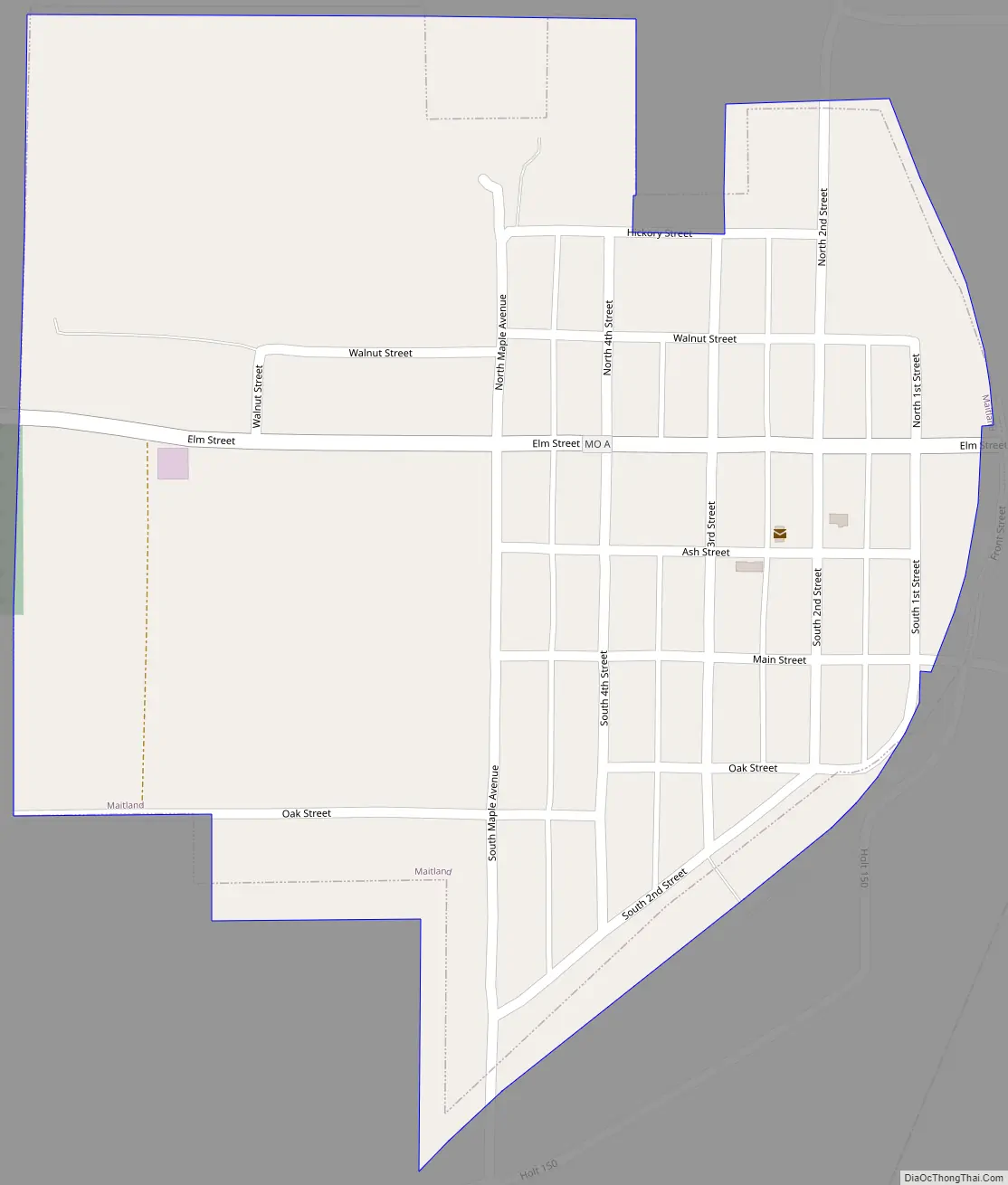
Maitland Road Map
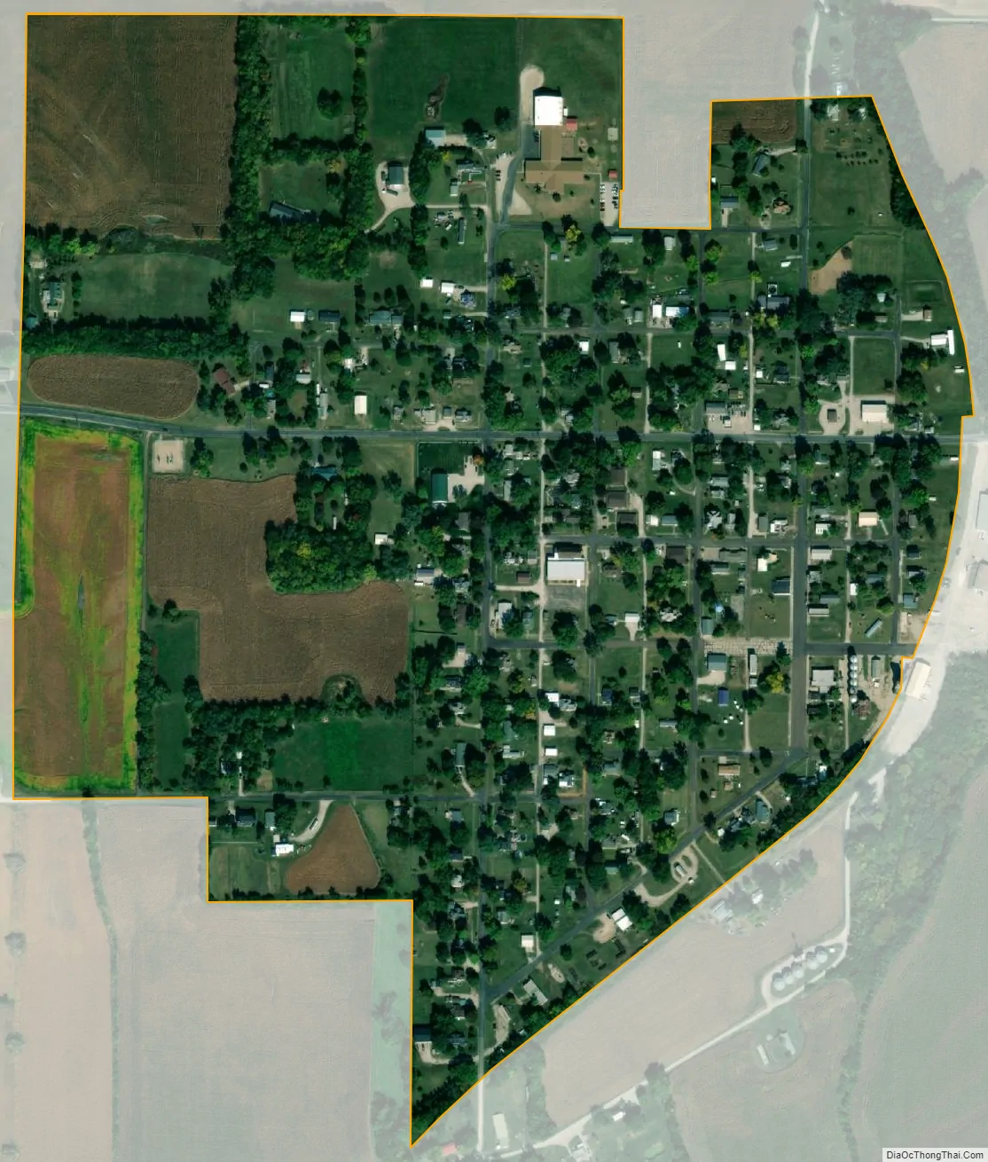
Maitland city Satellite Map
Geography
According to the United States Census Bureau, the city has a total area of 0.30 square miles (0.78 km), all land.
See also
Map of Missouri State and its subdivision:- Adair
- Andrew
- Atchison
- Audrain
- Barry
- Barton
- Bates
- Benton
- Bollinger
- Boone
- Buchanan
- Butler
- Caldwell
- Callaway
- Camden
- Cape Girardeau
- Carroll
- Carter
- Cass
- Cedar
- Chariton
- Christian
- Clark
- Clay
- Clinton
- Cole
- Cooper
- Crawford
- Dade
- Dallas
- Daviess
- De Kalb
- Dent
- Douglas
- Dunklin
- Franklin
- Gasconade
- Gentry
- Greene
- Grundy
- Harrison
- Henry
- Hickory
- Holt
- Howard
- Howell
- Iron
- Jackson
- Jasper
- Jefferson
- Johnson
- Knox
- Laclede
- Lafayette
- Lawrence
- Lewis
- Lincoln
- Linn
- Livingston
- Macon
- Madison
- Maries
- Marion
- McDonald
- Mercer
- Miller
- Mississippi
- Moniteau
- Monroe
- Montgomery
- Morgan
- New Madrid
- Newton
- Nodaway
- Oregon
- Osage
- Ozark
- Pemiscot
- Perry
- Pettis
- Phelps
- Pike
- Platte
- Polk
- Pulaski
- Putnam
- Ralls
- Randolph
- Ray
- Reynolds
- Ripley
- Saint Charles
- Saint Clair
- Saint Francois
- Saint Louis
- Sainte Genevieve
- Saline
- Schuyler
- Scotland
- Scott
- Shannon
- Shelby
- Stoddard
- Stone
- Sullivan
- Taney
- Texas
- Vernon
- Warren
- Washington
- Wayne
- Webster
- Worth
- Wright
- Alabama
- Alaska
- Arizona
- Arkansas
- California
- Colorado
- Connecticut
- Delaware
- District of Columbia
- Florida
- Georgia
- Hawaii
- Idaho
- Illinois
- Indiana
- Iowa
- Kansas
- Kentucky
- Louisiana
- Maine
- Maryland
- Massachusetts
- Michigan
- Minnesota
- Mississippi
- Missouri
- Montana
- Nebraska
- Nevada
- New Hampshire
- New Jersey
- New Mexico
- New York
- North Carolina
- North Dakota
- Ohio
- Oklahoma
- Oregon
- Pennsylvania
- Rhode Island
- South Carolina
- South Dakota
- Tennessee
- Texas
- Utah
- Vermont
- Virginia
- Washington
- West Virginia
- Wisconsin
- Wyoming