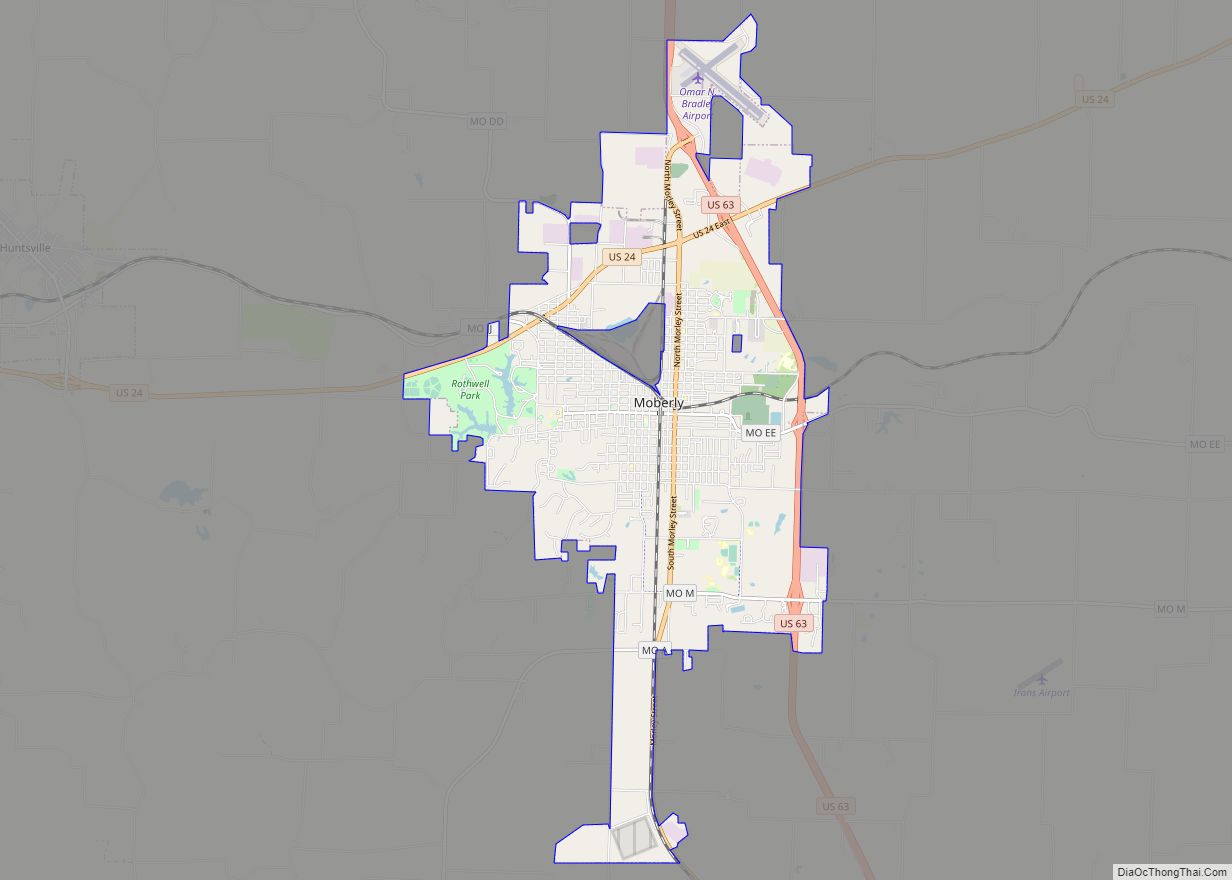
Moberly is a city in Randolph County, Missouri, United States. The population was 13,974 at the 2010 census. It is part of the Columbia, Missouri metropolitan area.
| Name: | Moberly city |
|---|---|
| LSAD Code: | 25 |
| LSAD Description: | city (suffix) |
| State: | Missouri |
| County: | Randolph County |
| Founded: | 1866 |
| Incorporated: | 1868 |
| Elevation: | 873 ft (266 m) |
| Total Area: | 13.22 sq mi (34.24 km²) |
| Land Area: | 13.18 sq mi (34.13 km²) |
| Water Area: | 0.04 sq mi (0.11 km²) |
| Total Population: | 13,783 |
| Population Density: | 1,045.99/sq mi (403.85/km²) |
| ZIP code: | 65270 |
| Area code: | 660 |
| FIPS code: | 2949034 |
| GNISfeature ID: | 2395362 |
| Website: | moberlymo.org |
Online Interactive Map
Click on ![]() to view map in "full screen" mode.
to view map in "full screen" mode.
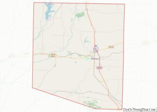
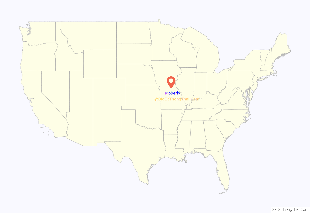
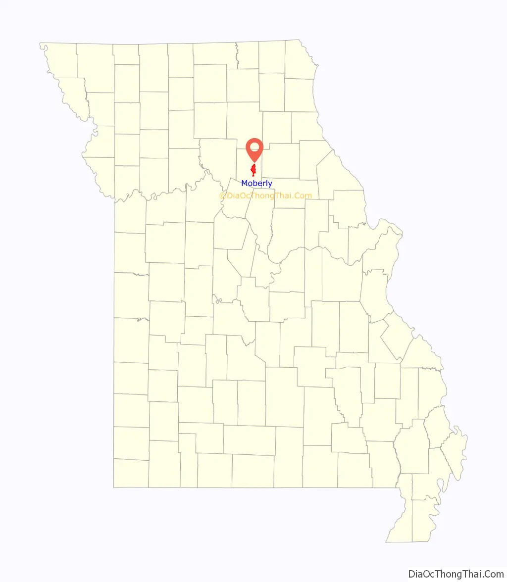
Moberly location map. Where is Moberly city?
History
Moberly was founded in 1866, and named after Colonel William E. Moberly, the first president of the Chariton and Randolph County railroads.
Moberly, the “Magic City”, grew from the town platted by the North Missouri Railroad (later part of the Wabash Railroad) in 1866 to a transportation center with a 6,070 population by 1880. The North Mo. acquired the site when it took over the Chariton and Randolph R.R. after the Civil War. In 1860, the C.& R. had planned a road west to Brunswick from this point on the North Mo. then reaching toward Iowa.
The Chariton and Randolph R. R. named its proposed junction for William Moberly, head of the railroad, and offered free land to residents of once nearby Allen to settle here. Patrick Lynch, who alone accepted, was given two lots by the North Missouri after the Civil War for holding the site without “the loss of a life or a house.”
Moberly has been a division point since 1867 when the North Mo. (Wabash) reached Brunswick. Huge railroad repair shops, one of the earliest railroad plants west of the Mississippi, were opened, 1872. The M. K. & T. formed a junction here, 1873. Transportation facilities brought industrial growth and the development of the soil, fire clay, and coal resources of the area.
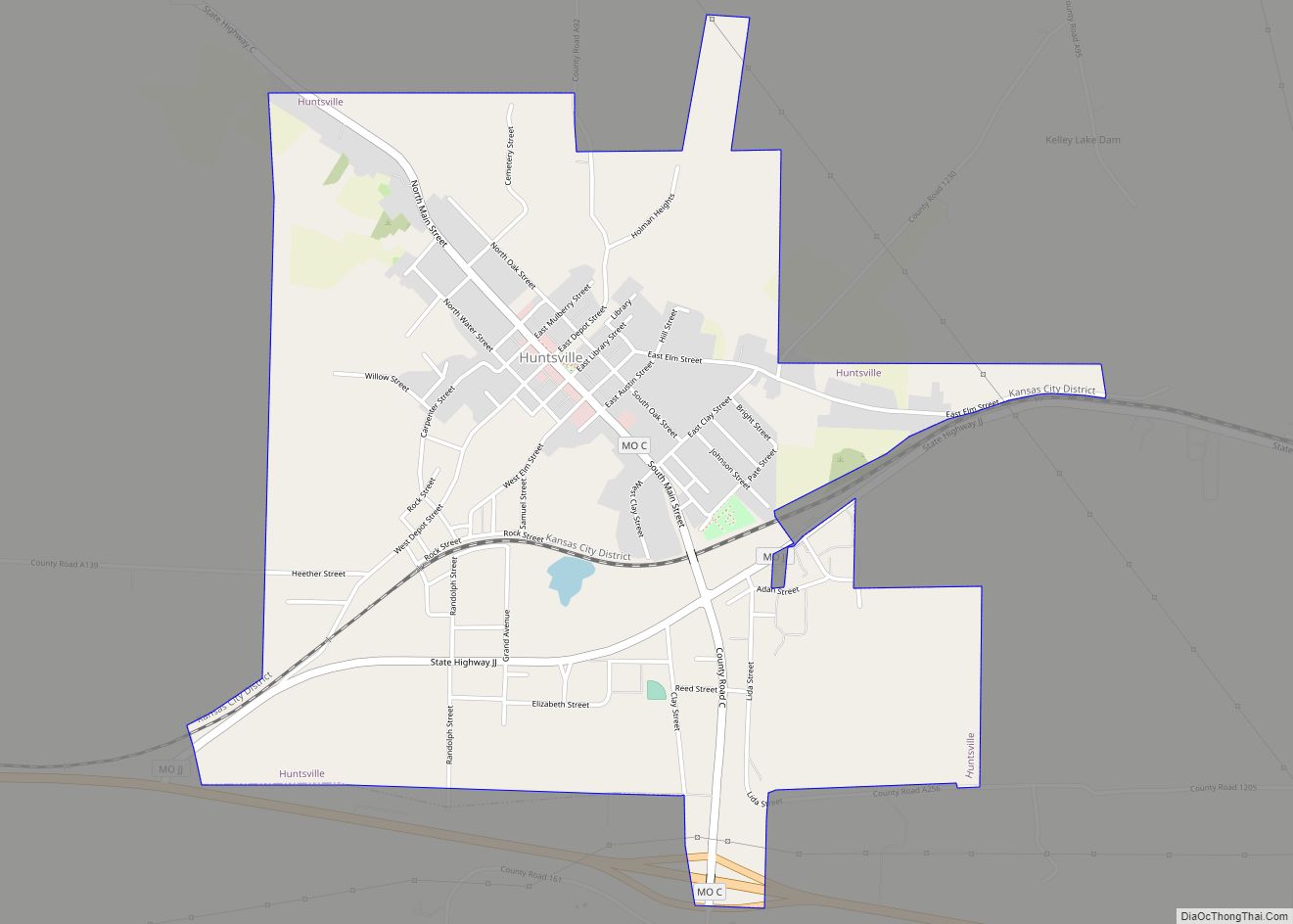
Moberly lies in a glacial plains area in a county organized, 1829, and names for John Randolph of Roanoke, Va. In Missouri’s Little Dixie Region, it was first settled by William Holman, 1818. William Fort boiled salt at a spring near Huntsville in 1820s/ The Bee Trace, a pioneer trail, ran along the Grand Divide (the high point in The Grand Prairie) between the Missouri and Mississippi through the county. The Iowa, Sac, and Fox tribes gave up claims to the region, 1824.
At Huntsville, county seat, since 1831, a plank road was built to Glasgow, 1854, and the 1855-82 Mt. Pleasant (Baptist) College was founded. County legal business has been conducted at Huntsville and Moberly since 1885. Moberly Junior College opened, 1927.
On Sunday, November 16, 1919, four African-Americans were lynched in Moberly. Three were able to escape but one was shot to death.
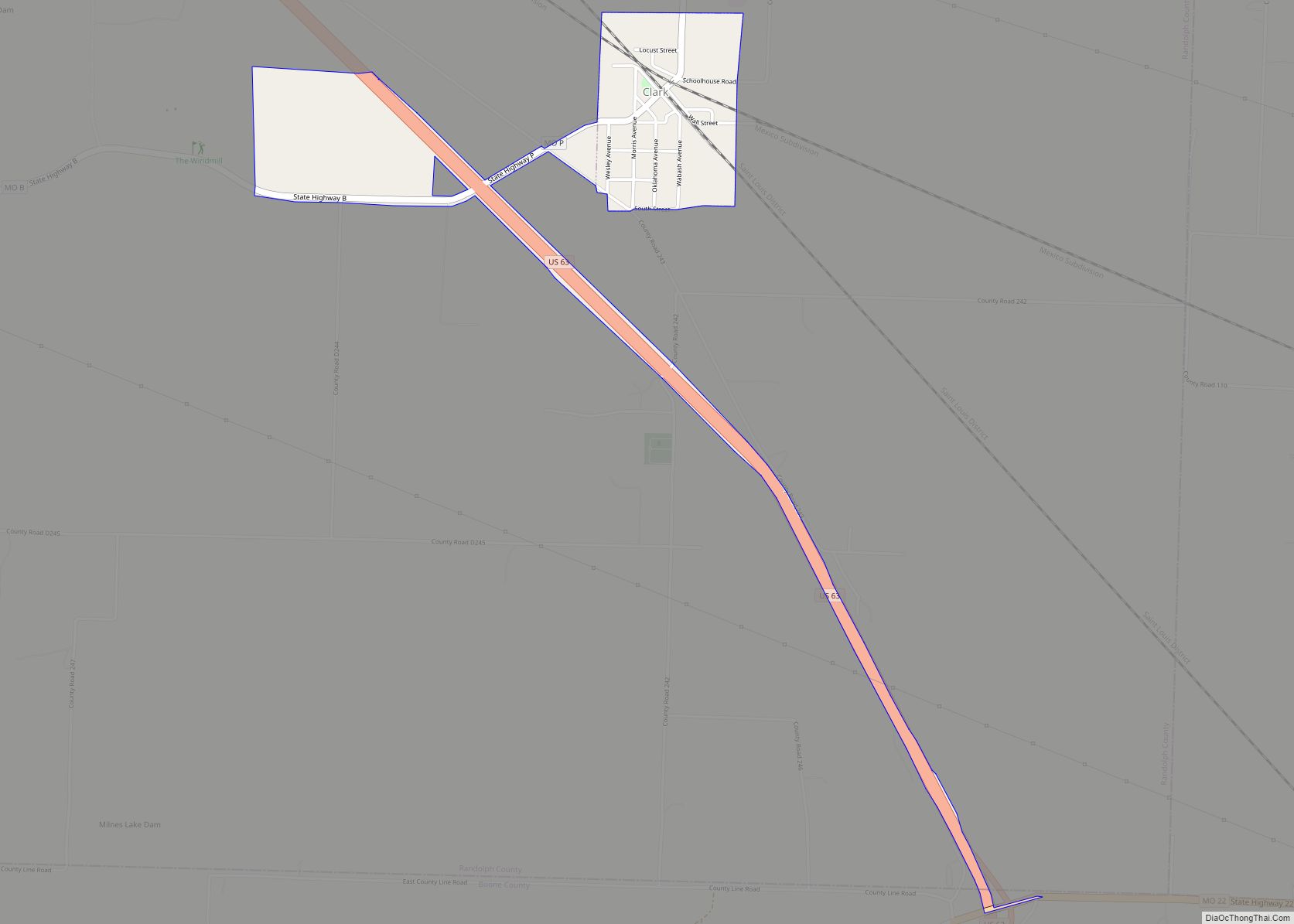
World War II Gen. Omar N. Bradley, first Chairman Joint Chiefs of Staff, was born in nearby Clark. Moberly’s airport is named for him. Moberly is the home of novelist Elizabeth Seifert Gasparotti and birthplace of writer Jack Conroy. G.W. P. Hunt, first Governor of Arizona, was born in Huntsville. Hancock L. Jackson, interim Gov. of Mo., 1857; Lt. Gov., 1857–61, and the biochemist Victor C. Vaughn, were natives of Randolph County.
The Missouri state Moberly Correctional Center was constructed two miles south of Moberly in 1963 as a minimum-security prison. As of 2014, it houses about 1800 minimum and medium security inmates.
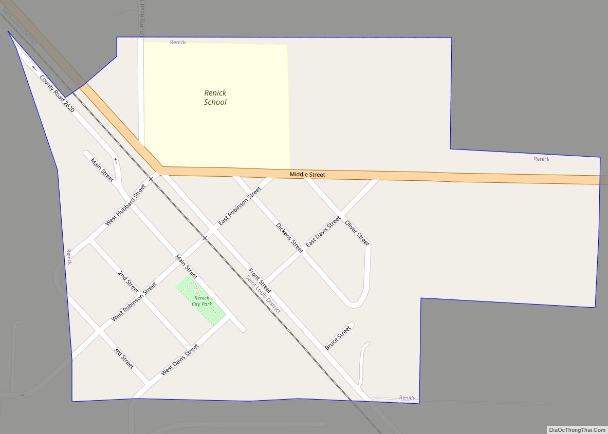
On Independence Day, 1995, a tornado ripped through downtown Moberly. There were no reported deaths, but there was a large amount of structural damage. Another tornado hit nearby Renick on March 12, 2006. Four people were killed and thirteen were injured in the F3-level tornado. Dozens of homes were destroyed.
The World War II-era US Navy frigate USS Moberly (PF-63) was named for the town. The ship participated mostly in convoy escort, earning a battle star for her assistance in sinking a German submarine, U-853.
The Burkholder-O’Keefe House, Moberly Commercial Historic District, and Moberly Junior High School are listed on the National Register of Historic Places.
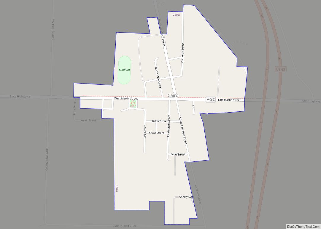
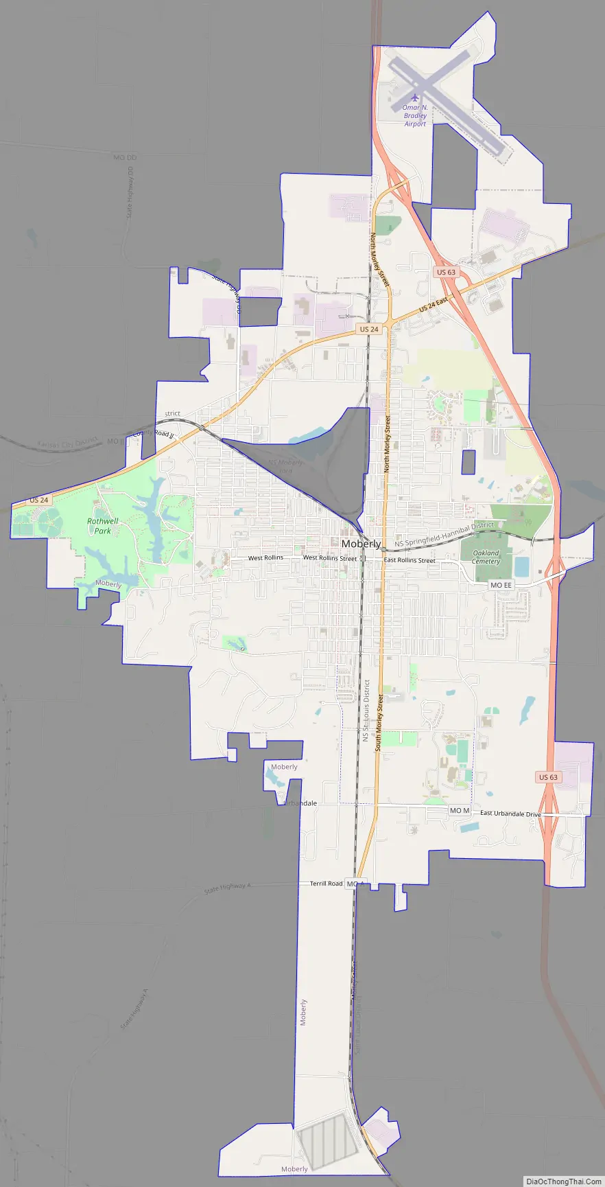
Moberly Road Map
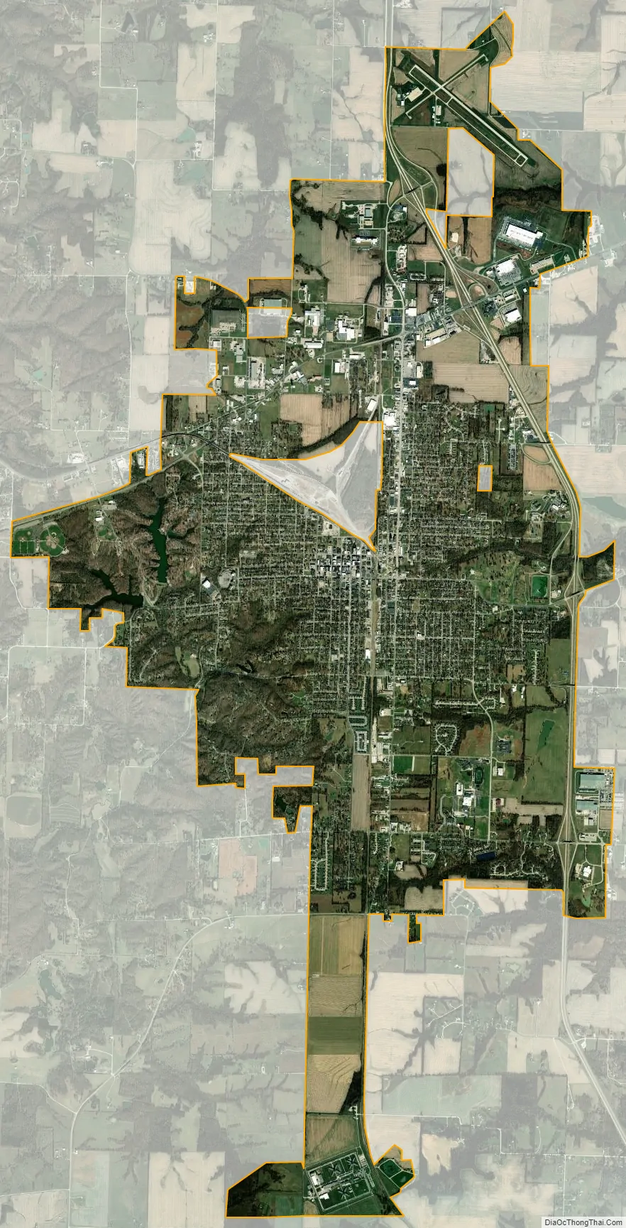
Moberly city Satellite Map
Geography
Moberly is in southeast Randolph County at the intersection of U.S. Route 63 and U.S. Route 24. Nearby streams include Sugar Creek to the northwest, Coon Creek to the east and Sweet Spring Creek to the southwest.
According to the United States Census Bureau, the city has an area of 12.26 square miles (31.75 km), of which 12.22 square miles (31.65 km) is land and 0.04 square miles (0.10 km) is water.
Climate
See also
Map of Missouri State and its subdivision:- Adair
- Andrew
- Atchison
- Audrain
- Barry
- Barton
- Bates
- Benton
- Bollinger
- Boone
- Buchanan
- Butler
- Caldwell
- Callaway
- Camden
- Cape Girardeau
- Carroll
- Carter
- Cass
- Cedar
- Chariton
- Christian
- Clark
- Clay
- Clinton
- Cole
- Cooper
- Crawford
- Dade
- Dallas
- Daviess
- De Kalb
- Dent
- Douglas
- Dunklin
- Franklin
- Gasconade
- Gentry
- Greene
- Grundy
- Harrison
- Henry
- Hickory
- Holt
- Howard
- Howell
- Iron
- Jackson
- Jasper
- Jefferson
- Johnson
- Knox
- Laclede
- Lafayette
- Lawrence
- Lewis
- Lincoln
- Linn
- Livingston
- Macon
- Madison
- Maries
- Marion
- McDonald
- Mercer
- Miller
- Mississippi
- Moniteau
- Monroe
- Montgomery
- Morgan
- New Madrid
- Newton
- Nodaway
- Oregon
- Osage
- Ozark
- Pemiscot
- Perry
- Pettis
- Phelps
- Pike
- Platte
- Polk
- Pulaski
- Putnam
- Ralls
- Randolph
- Ray
- Reynolds
- Ripley
- Saint Charles
- Saint Clair
- Saint Francois
- Saint Louis
- Sainte Genevieve
- Saline
- Schuyler
- Scotland
- Scott
- Shannon
- Shelby
- Stoddard
- Stone
- Sullivan
- Taney
- Texas
- Vernon
- Warren
- Washington
- Wayne
- Webster
- Worth
- Wright
- Alabama
- Alaska
- Arizona
- Arkansas
- California
- Colorado
- Connecticut
- Delaware
- District of Columbia
- Florida
- Georgia
- Hawaii
- Idaho
- Illinois
- Indiana
- Iowa
- Kansas
- Kentucky
- Louisiana
- Maine
- Maryland
- Massachusetts
- Michigan
- Minnesota
- Mississippi
- Missouri
- Montana
- Nebraska
- Nevada
- New Hampshire
- New Jersey
- New Mexico
- New York
- North Carolina
- North Dakota
- Ohio
- Oklahoma
- Oregon
- Pennsylvania
- Rhode Island
- South Carolina
- South Dakota
- Tennessee
- Texas
- Utah
- Vermont
- Virginia
- Washington
- West Virginia
- Wisconsin
- Wyoming