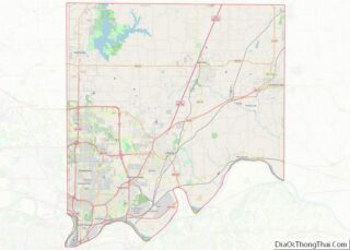
North Kansas City is a city in Clay County, Missouri, United States. It is also enclaved in Kansas City. Even though the name is similar to its larger counterpart, Kansas City, it is an independent municipality part of the Kansas City metropolitan area. The population was 4,467 at the 2020 census. Originally a northern suburb across the Missouri River from Kansas City, it is now almost completely surrounded by Kansas City, which has annexed far to the north of North Kansas City’s northern city limits. North Kansas City also adjoins the small municipality of Avondale.
| Name: | North Kansas City city |
|---|---|
| LSAD Code: | 25 |
| LSAD Description: | city (suffix) |
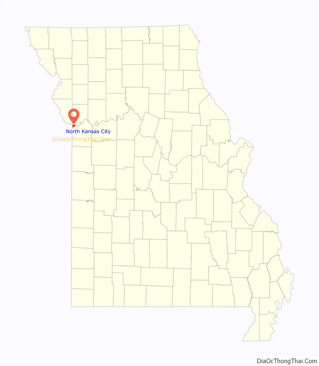
| State: | Missouri |
| County: | Clay County |
| Elevation: | 745 ft (227 m) |
| Total Area: | 4.61 sq mi (11.94 km²) |
| Land Area: | 4.37 sq mi (11.32 km²) |
| Water Area: | 0.24 sq mi (0.61 km²) |
| Total Population: | 4,467 |
| Population Density: | 1,021.50/sq mi (394.44/km²) |
| ZIP code: | 64116 |
| Area code: | 816 |
| FIPS code: | 2953102 |
| GNISfeature ID: | 2395255 |
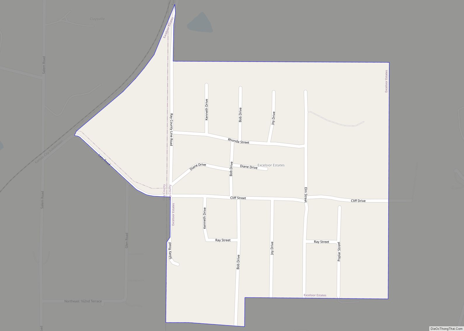
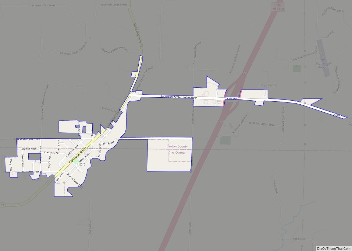
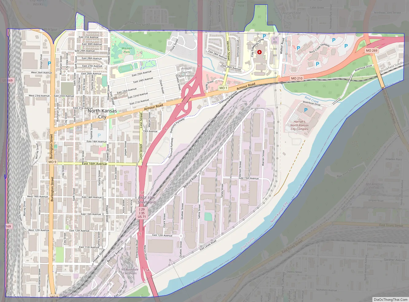
Online Interactive Map
Click on ![]() to view map in "full screen" mode.
to view map in "full screen" mode.
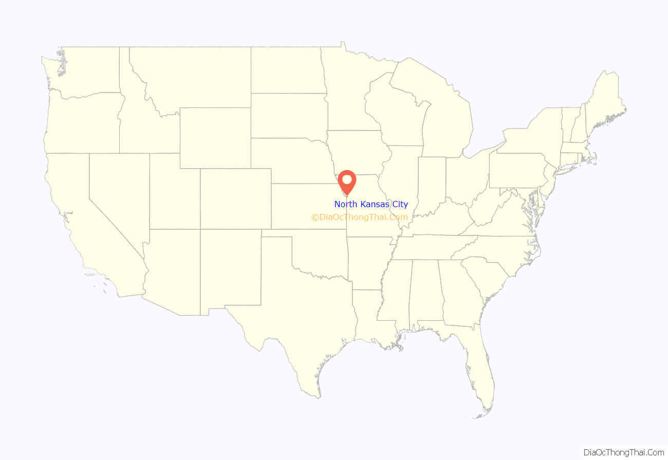
North Kansas City location map. Where is North Kansas City city?
History
A post office called North Kansas City was established in 1891. The town lies north of Kansas City, hence the name.
Large scale development of the area was not possible before the construction of levees protecting North Kansas City from flooding from the Missouri River. The levee on the north bank of the Missouri River was constructed between 1909 and 1912 and is owned and maintained by the North Kansas City Levee District. The city is also protected by a hillside levee.
The city was incorporated on November 4, 1912. A five-member board of trustees was elected in 1914 to oversee municipal affairs. One of the original trustees was William E. Macken, who was elected as the first mayor of North Kansas City in 1924. The city’s largest park, Macken Park, is named for him.
The Armour Theatre Building, Sears, Roebuck and Company Warehouse Building, and Wheeling Corrugating Company Building are listed on the National Register of Historic Places.
In 2012 North Kansas City celebrated it Centennial with a citywide celebration. As the city said goodbye to its first 100 years, it welcomed the next century with the opening of two micro breweries, a distillery and a new recreational opportunity called Pickleball. These new businesses are building a younger clientele fueled by the repopulation of downtown Kansas City, just across the Missouri River.
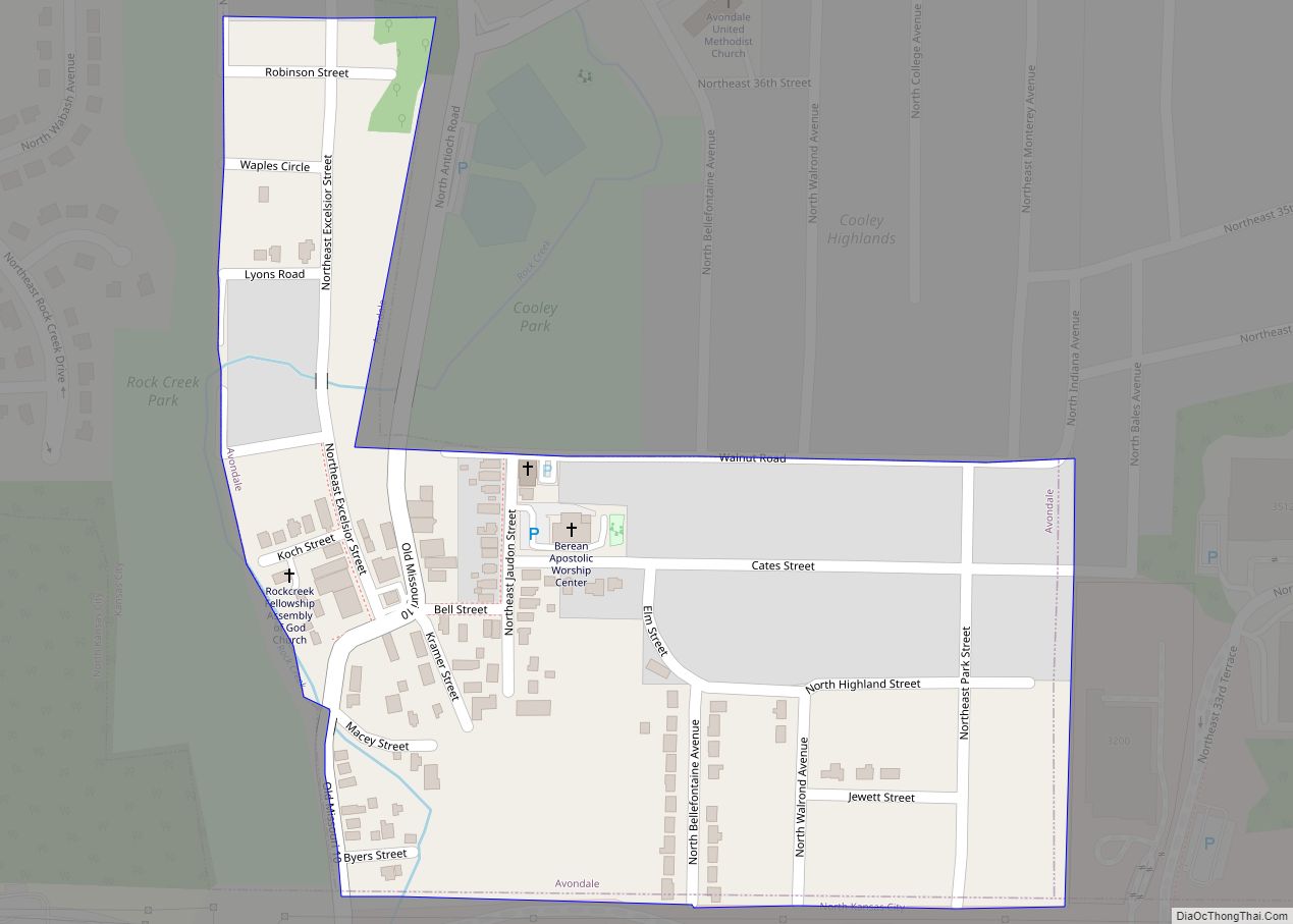
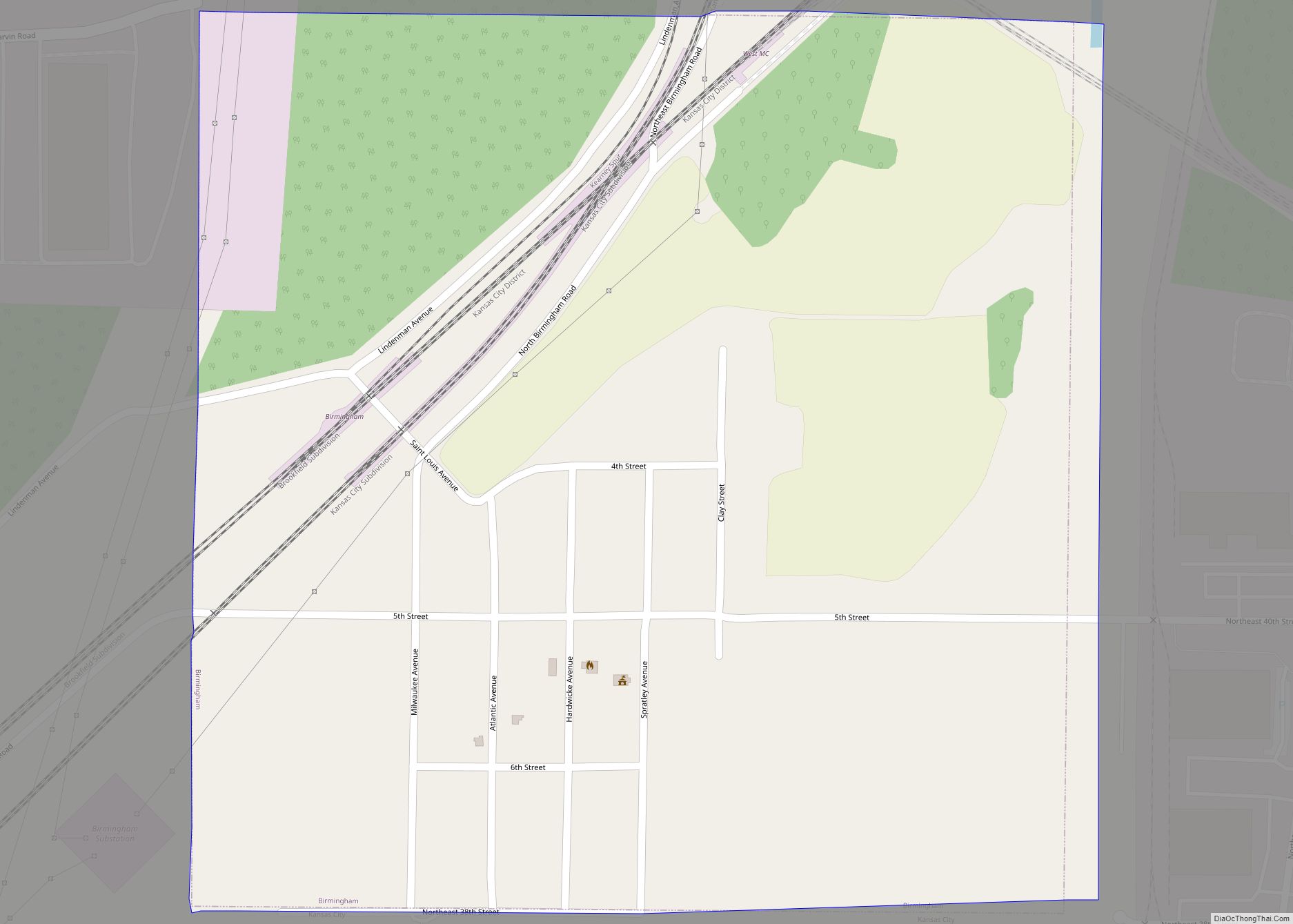
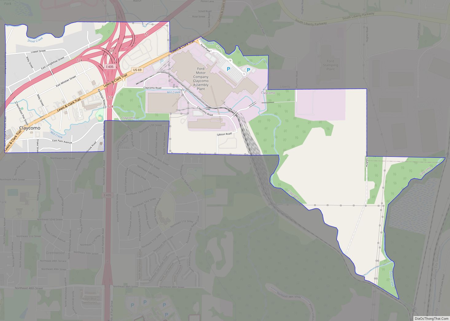
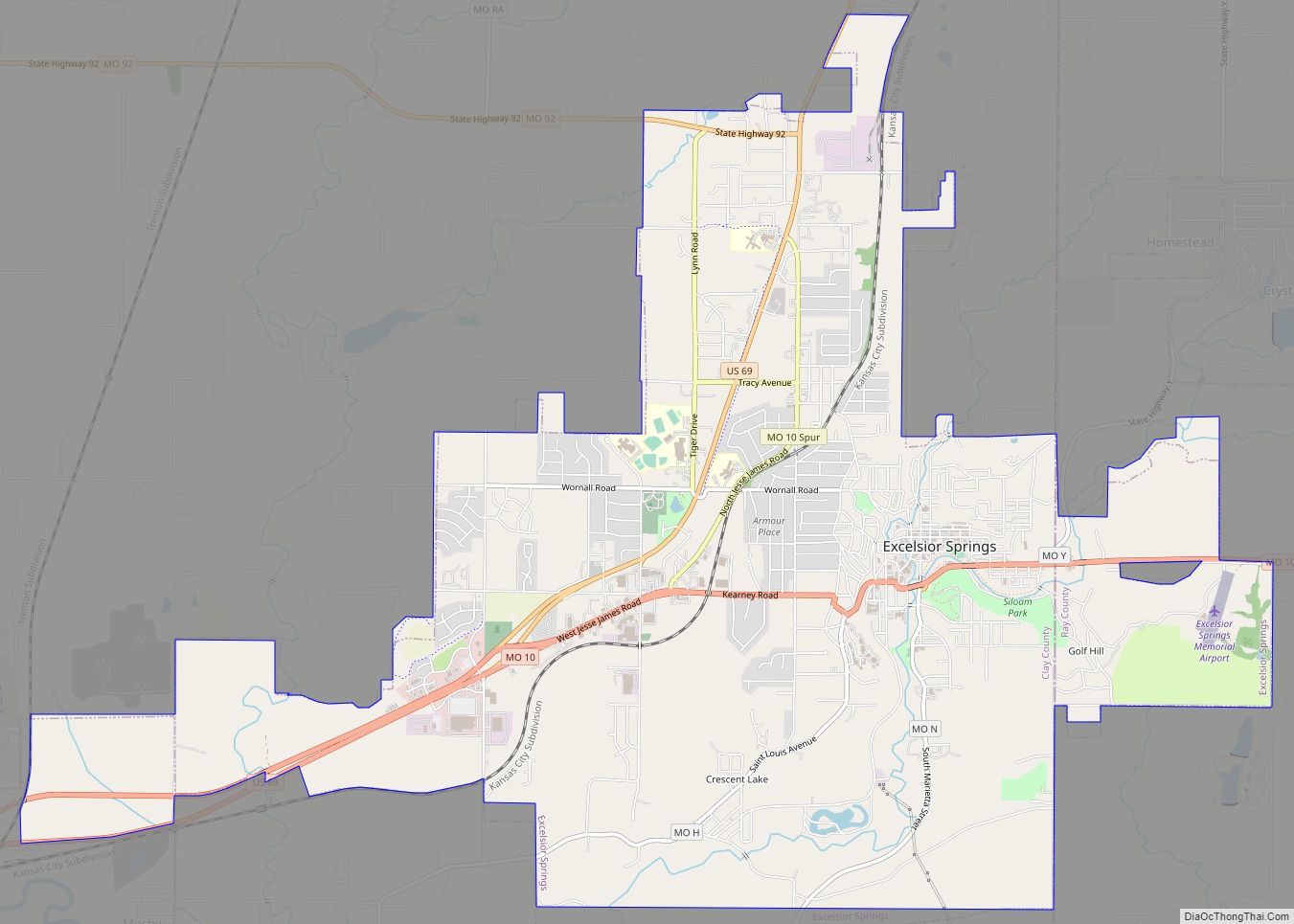
North Kansas City Road Map
North Kansas City city Satellite Map
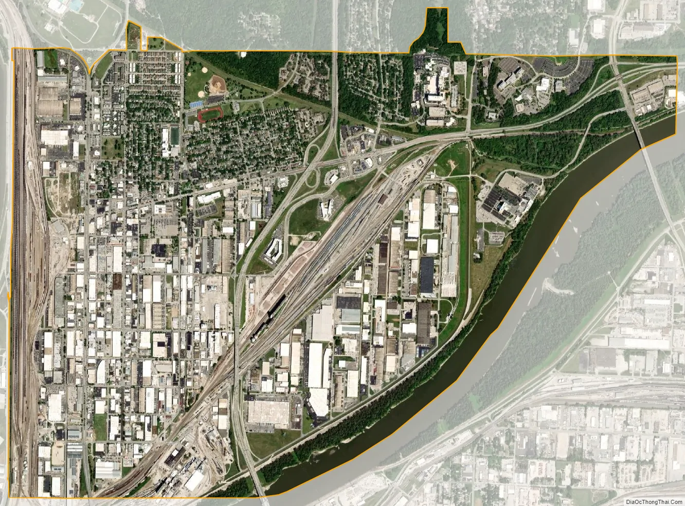
Geography
According to the United States Census Bureau, the city has a total area of 4.63 square miles (11.99 km), of which 4.39 square miles (11.37 km) is land and 0.24 square miles (0.62 km) is water.
See also
Map of Missouri State and its subdivision:- Adair
- Andrew
- Atchison
- Audrain
- Barry
- Barton
- Bates
- Benton
- Bollinger
- Boone
- Buchanan
- Butler
- Caldwell
- Callaway
- Camden
- Cape Girardeau
- Carroll
- Carter
- Cass
- Cedar
- Chariton
- Christian
- Clark
- Clay
- Clinton
- Cole
- Cooper
- Crawford
- Dade
- Dallas
- Daviess
- De Kalb
- Dent
- Douglas
- Dunklin
- Franklin
- Gasconade
- Gentry
- Greene
- Grundy
- Harrison
- Henry
- Hickory
- Holt
- Howard
- Howell
- Iron
- Jackson
- Jasper
- Jefferson
- Johnson
- Knox
- Laclede
- Lafayette
- Lawrence
- Lewis
- Lincoln
- Linn
- Livingston
- Macon
- Madison
- Maries
- Marion
- McDonald
- Mercer
- Miller
- Mississippi
- Moniteau
- Monroe
- Montgomery
- Morgan
- New Madrid
- Newton
- Nodaway
- Oregon
- Osage
- Ozark
- Pemiscot
- Perry
- Pettis
- Phelps
- Pike
- Platte
- Polk
- Pulaski
- Putnam
- Ralls
- Randolph
- Ray
- Reynolds
- Ripley
- Saint Charles
- Saint Clair
- Saint Francois
- Saint Louis
- Sainte Genevieve
- Saline
- Schuyler
- Scotland
- Scott
- Shannon
- Shelby
- Stoddard
- Stone
- Sullivan
- Taney
- Texas
- Vernon
- Warren
- Washington
- Wayne
- Webster
- Worth
- Wright
- Alabama
- Alaska
- Arizona
- Arkansas
- California
- Colorado
- Connecticut
- Delaware
- District of Columbia
- Florida
- Georgia
- Hawaii
- Idaho
- Illinois
- Indiana
- Iowa
- Kansas
- Kentucky
- Louisiana
- Maine
- Maryland
- Massachusetts
- Michigan
- Minnesota
- Mississippi
- Missouri
- Montana
- Nebraska
- Nevada
- New Hampshire
- New Jersey
- New Mexico
- New York
- North Carolina
- North Dakota
- Ohio
- Oklahoma
- Oregon
- Pennsylvania
- Rhode Island
- South Carolina
- South Dakota
- Tennessee
- Texas
- Utah
- Vermont
- Virginia
- Washington
- West Virginia
- Wisconsin
- Wyoming