Norwood is a city in Wright County, Missouri, United States. The population was 665 at the 2010 census.
| Name: | Norwood city |
|---|---|
| LSAD Code: | 25 |
| LSAD Description: | city (suffix) |
| State: | Missouri |
| County: | Wright County |
| Elevation: | 1,489 ft (454 m) |
| Total Area: | 1.60 sq mi (4.15 km²) |
| Land Area: | 1.60 sq mi (4.15 km²) |
| Water Area: | 0.00 sq mi (0.00 km²) |
| Total Population: | 578 |
| Population Density: | 361.02/sq mi (139.37/km²) |
| ZIP code: | 65717 |
| Area code: | 417 |
| FIPS code: | 2953454 |
| GNISfeature ID: | 0723525 |
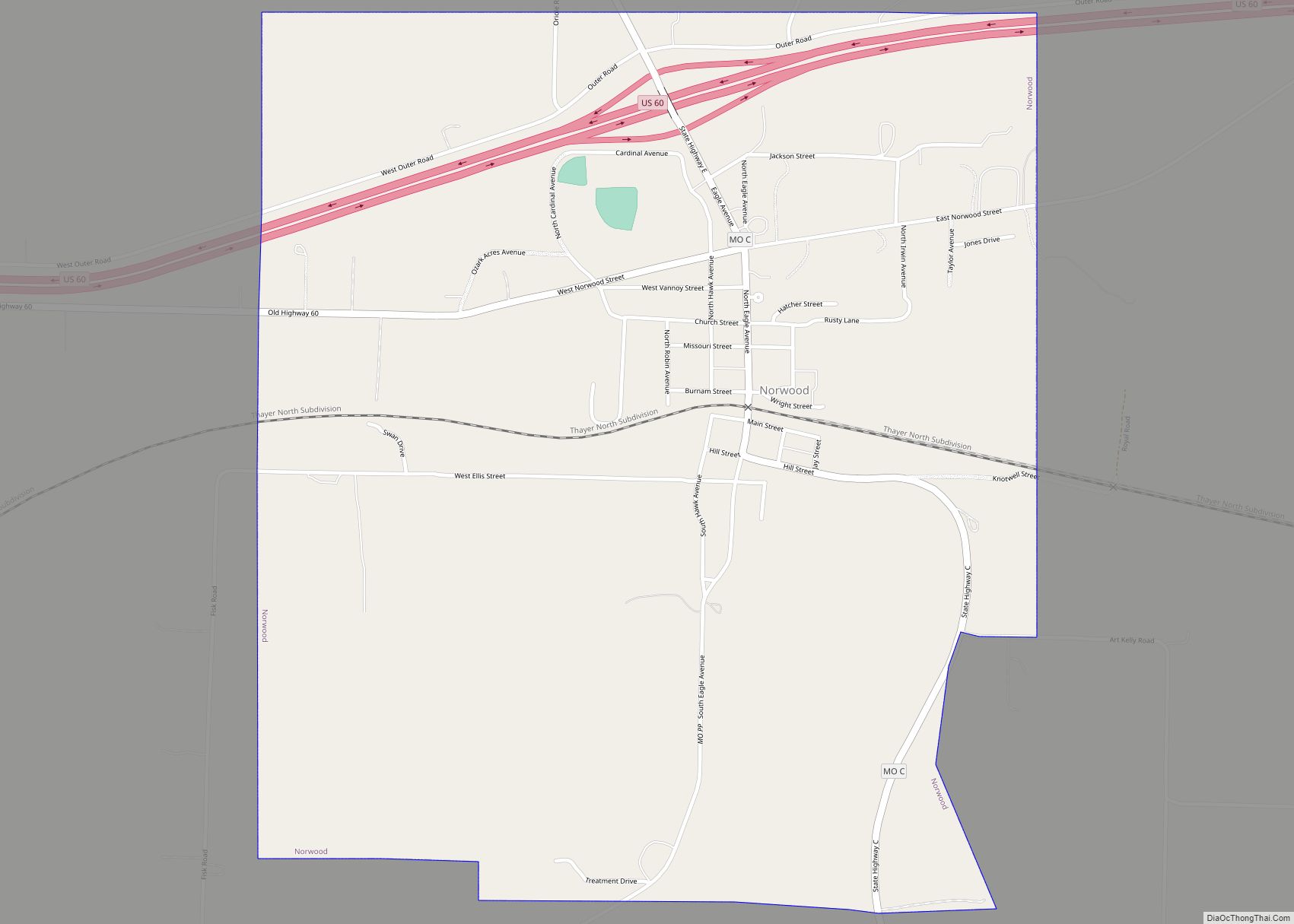
Online Interactive Map
Click on ![]() to view map in "full screen" mode.
to view map in "full screen" mode.
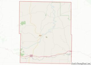
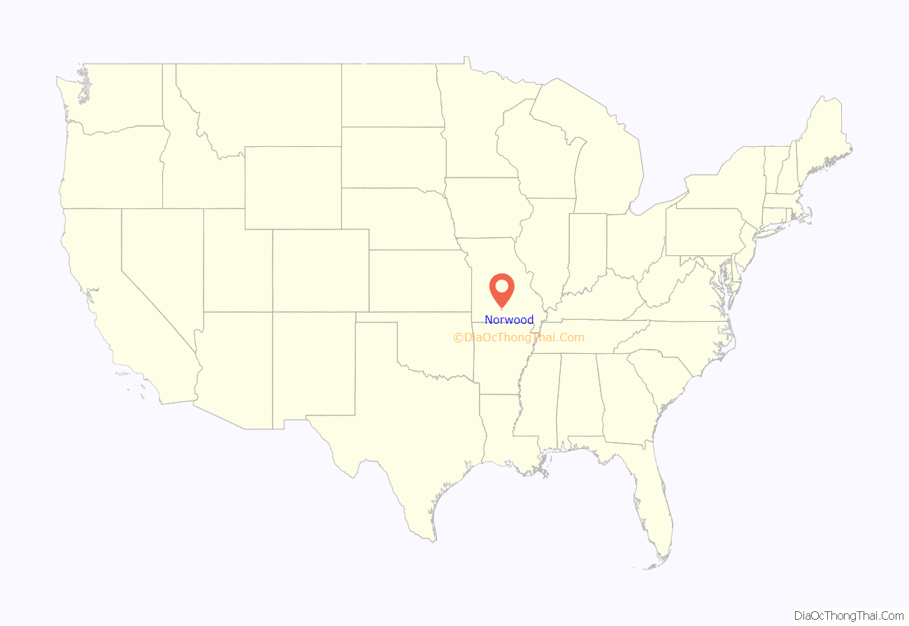
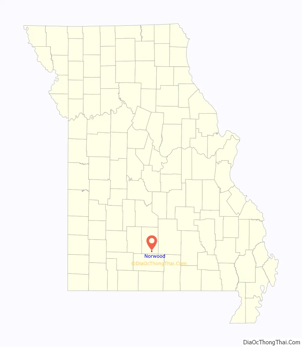
Norwood location map. Where is Norwood city?
History
Norwood was laid out in 1882. The community was named by lawyer W.S. Thompson, who was inspired by the novel Norwood: or, Village Life in New England, by Henry Ward Beecher. A post office called Norwood has been in operation since 1882.
Norwood Road Map
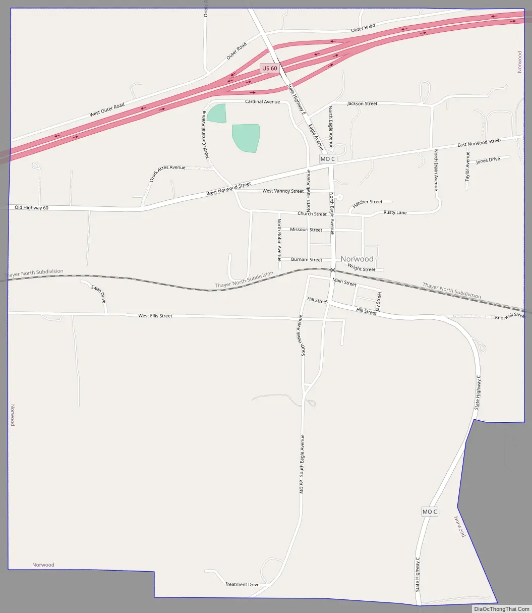
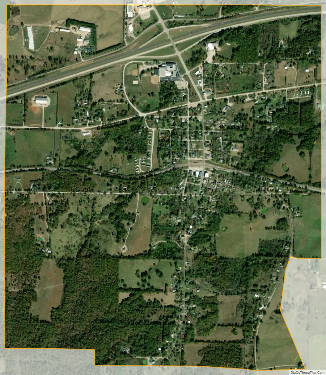
Norwood city Satellite Map
Geography
Norwood is located in the Ozarks, along the south edge of the Salem Plateau. The community is served by US Route 60 and Routes C, PP and E. Mountain Grove is to the east and Mansfield is to the west along Route 60. The town sits on the drainage divide between the White River tributaries to the south and the Missouri River tributaries to the north.
According to the United States Census Bureau, the city has a total area of 1.60 square miles (4.14 km), all land.
See also
Map of Missouri State and its subdivision:- Adair
- Andrew
- Atchison
- Audrain
- Barry
- Barton
- Bates
- Benton
- Bollinger
- Boone
- Buchanan
- Butler
- Caldwell
- Callaway
- Camden
- Cape Girardeau
- Carroll
- Carter
- Cass
- Cedar
- Chariton
- Christian
- Clark
- Clay
- Clinton
- Cole
- Cooper
- Crawford
- Dade
- Dallas
- Daviess
- De Kalb
- Dent
- Douglas
- Dunklin
- Franklin
- Gasconade
- Gentry
- Greene
- Grundy
- Harrison
- Henry
- Hickory
- Holt
- Howard
- Howell
- Iron
- Jackson
- Jasper
- Jefferson
- Johnson
- Knox
- Laclede
- Lafayette
- Lawrence
- Lewis
- Lincoln
- Linn
- Livingston
- Macon
- Madison
- Maries
- Marion
- McDonald
- Mercer
- Miller
- Mississippi
- Moniteau
- Monroe
- Montgomery
- Morgan
- New Madrid
- Newton
- Nodaway
- Oregon
- Osage
- Ozark
- Pemiscot
- Perry
- Pettis
- Phelps
- Pike
- Platte
- Polk
- Pulaski
- Putnam
- Ralls
- Randolph
- Ray
- Reynolds
- Ripley
- Saint Charles
- Saint Clair
- Saint Francois
- Saint Louis
- Sainte Genevieve
- Saline
- Schuyler
- Scotland
- Scott
- Shannon
- Shelby
- Stoddard
- Stone
- Sullivan
- Taney
- Texas
- Vernon
- Warren
- Washington
- Wayne
- Webster
- Worth
- Wright
- Alabama
- Alaska
- Arizona
- Arkansas
- California
- Colorado
- Connecticut
- Delaware
- District of Columbia
- Florida
- Georgia
- Hawaii
- Idaho
- Illinois
- Indiana
- Iowa
- Kansas
- Kentucky
- Louisiana
- Maine
- Maryland
- Massachusetts
- Michigan
- Minnesota
- Mississippi
- Missouri
- Montana
- Nebraska
- Nevada
- New Hampshire
- New Jersey
- New Mexico
- New York
- North Carolina
- North Dakota
- Ohio
- Oklahoma
- Oregon
- Pennsylvania
- Rhode Island
- South Carolina
- South Dakota
- Tennessee
- Texas
- Utah
- Vermont
- Virginia
- Washington
- West Virginia
- Wisconsin
- Wyoming