Novinger is a town in Nineveh Township, Adair County, Missouri, United States. The population was 456 at the 2010 census.
| Name: | Novinger city |
|---|---|
| LSAD Code: | 25 |
| LSAD Description: | city (suffix) |
| State: | Missouri |
| County: | Adair County |
| Elevation: | 837 ft (255 m) |
| Total Area: | 0.80 sq mi (2.08 km²) |
| Land Area: | 0.79 sq mi (2.04 km²) |
| Water Area: | 0.01 sq mi (0.04 km²) |
| Total Population: | 383 |
| Population Density: | 486.66/sq mi (187.91/km²) |
| ZIP code: | 63559 |
| Area code: | 660 |
| FIPS code: | 2953534 |
| GNISfeature ID: | 2395279 |
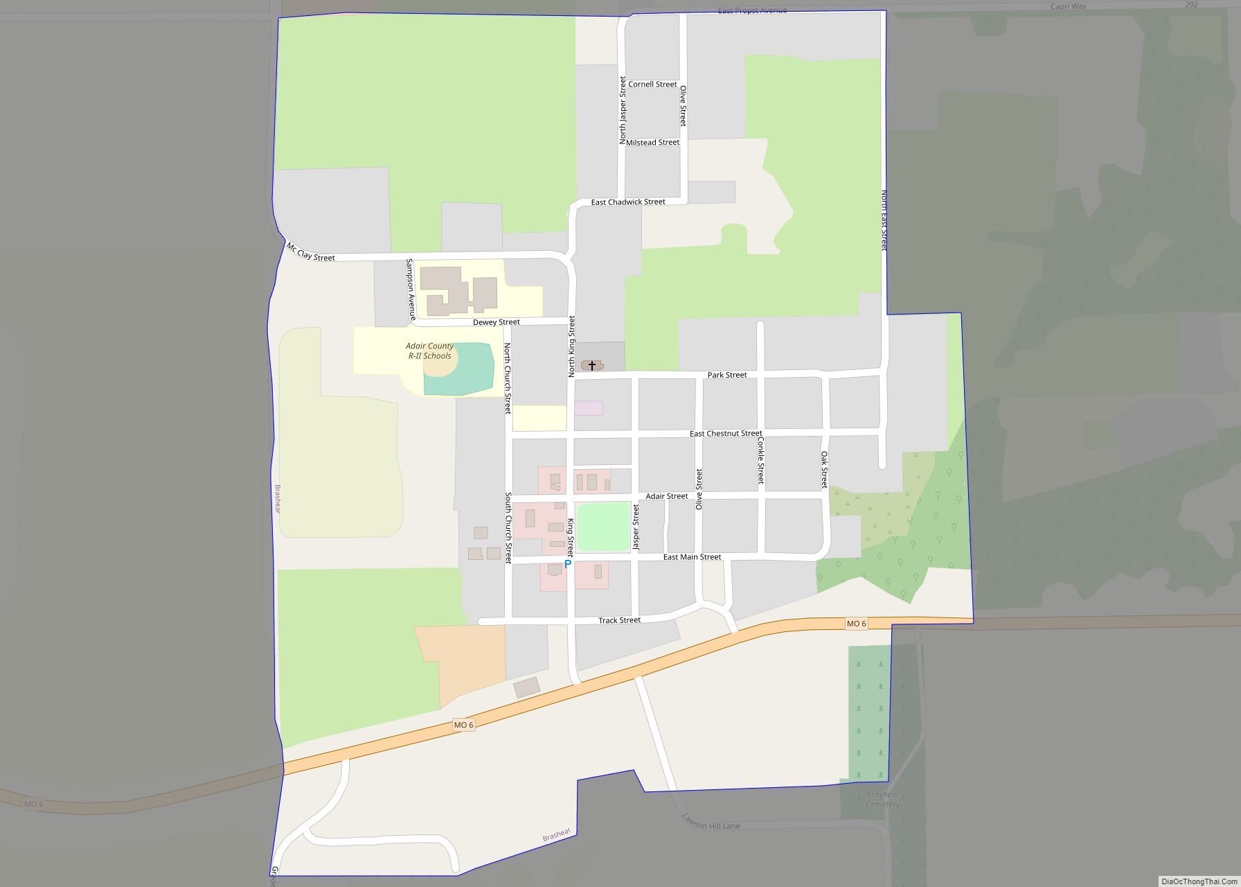
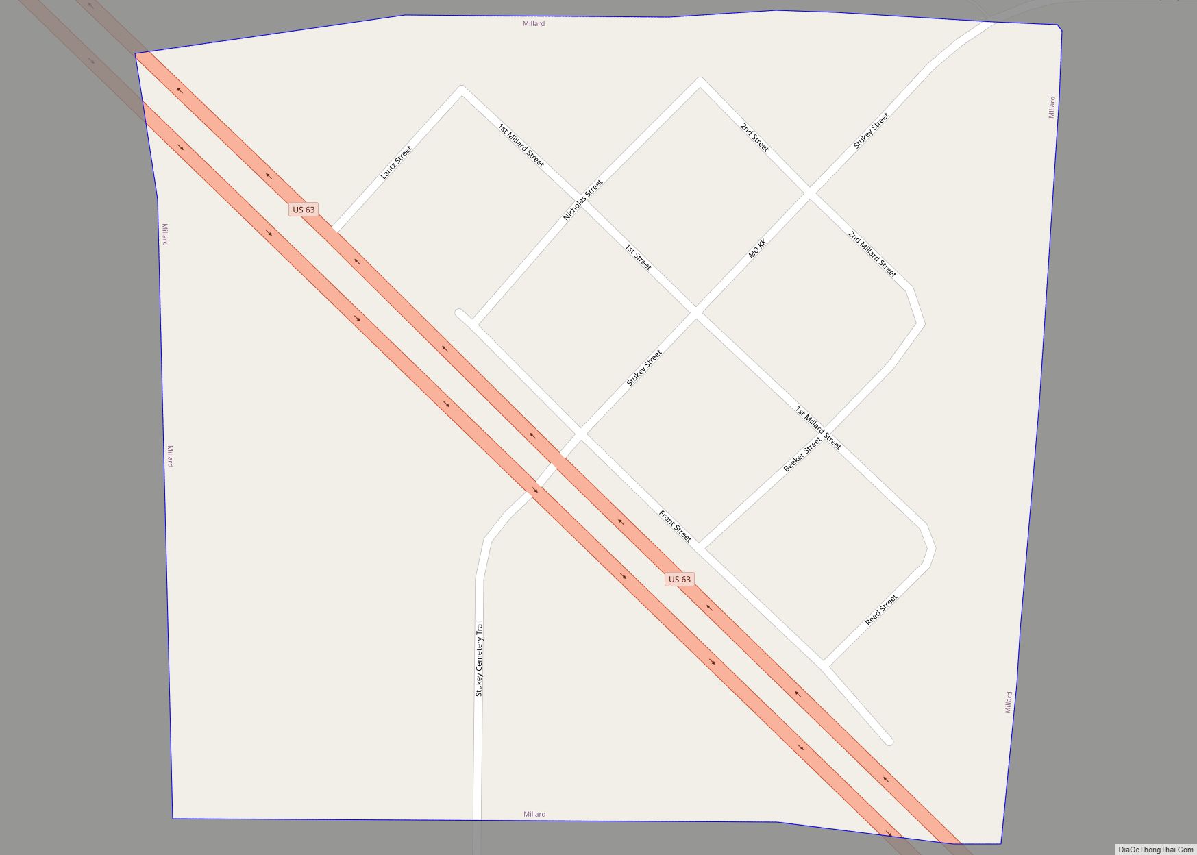
Online Interactive Map
Click on ![]() to view map in "full screen" mode.
to view map in "full screen" mode.
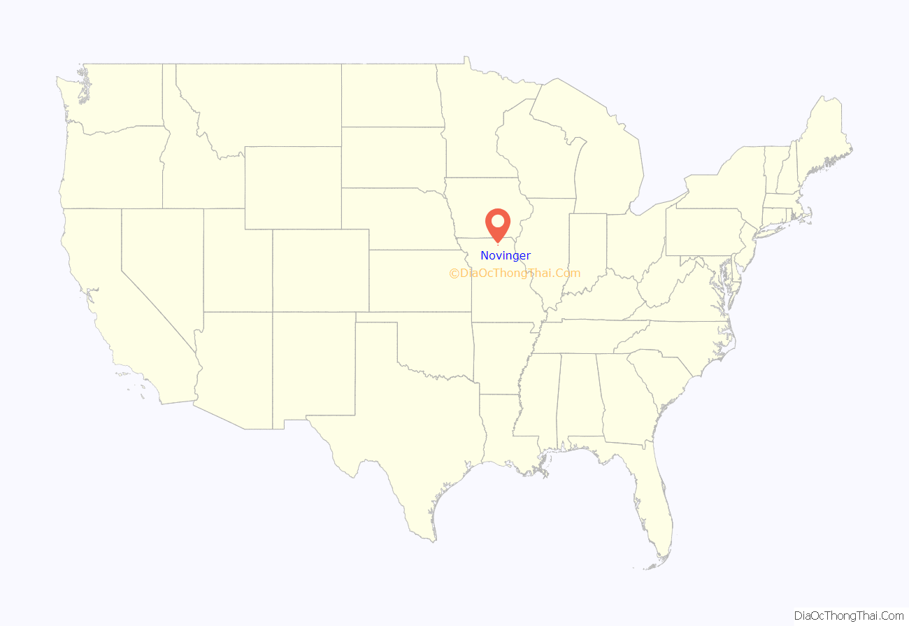
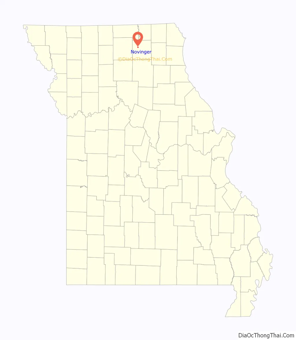
Novinger location map. Where is Novinger city?
History
Key events in Novinger history include the arrival of the Quincy, Missouri & Pacific railroad and filing of the town plat by founder John C. Novinger in 1878, the establishment of a U.S. Post Office the next year, and the first shaft coal mine in 1883. A turn-of-the-century coal mining boom saw Welsh, Germans, Scots-Irish, Italians, natives of the Balkan countries and many others and their families immigrate from all over the world. It was this boom that finally saw Novinger incorporated as a city in 1901 as the population swelled into the thousands. However, the Great Depression, a post-World War II switch to mostly natural gas and electric heat in American homes, and heavy industry’s lessening coal use doomed the area coal fields. The railroads had pulled out by 1950, and the last mine, Billy Creek Coal Mine southwest of Novinger, closed in January 1966. At the time of its closing Billy Creek was the last operating deep shaft mine in Missouri.
Novinger versus Nature: Being a river town, Novinger was no stranger to frequent flooding of the Chariton River during the community’s early years. However a channelization of the Chariton by the U.S. Army Corps of Engineers in the 1950s alleviated much of the threat. But in June 2008 a series of heavy rains led to flooding of the Chariton, and more significantly, let flash flood waters of Spring Creek and Davis Creek to back up from the river into Novinger. Several homes in the low-lying southwestern part of town were heavily damaged, as was the historic 1800s log homestead and Novinger Community Center. On May 13, 2009 a large tornado, estimated as a strong EF2 on the Enhanced Fujita scale, struck the southern edge of Novinger. At least six homes were destroyed, along with two brick buildings in the business district. The tornado caused moderate-to-severe damage to over fifty homes and businesses. Fortunately only minor injuries to residents were reported. Additionally, other homes and barns were also badly damaged or destroyed in rural Adair County southwest of Novinger. Adding insult to injury two days later on May 15 heavy rains once again caused severe flash flooding to Novinger’s low-lying areas, including once again the Novinger Community Center and log homestead -— both of which had only recently been repaired from damage suffered in the June 2008 flood. The combination of tornado and flood forced the first-ever cancellation of Novingers annual Coal Miner Days celebration as well as postponement of graduation ceremonies at Novinger R-1 High School.
Late on the night of September 11, 2010 a major fire swept through the Novinger business district. Five buildings, including the former city hall and senior citizen center were destroyed, as well as two businesses.
Novinger today
The Novinger business community is but a fraction of its size during the coal boom days. The town proper and surrounding area offer two beauty salons, two construction companies, two convenience stores, a catering business, farm supply store, heating and cooling repair, and auction service. Most Novinger residents however must travel to the larger city of Kirksville to the east or Milan to the west for employment, thus making Novinger largely a bedroom community.
Education for the town, and much of western Adair County, is provided by the Adair County R-1 school district. The school facility is located on Missouri Highway 149 in Novinger. Recent improvements to the town include storm warning capability, upgraded water system, and upgrades to the community center and community fairgrounds. In 2011 an outdoor basketball court was constructed with the assistance of Toolbox Ministries, a traveling Christian-based community betterment organization. Fire protection for the community is provided by a well-equipped volunteer fire department. At various times Novinger has employed a town marshal, but the majority of law enforcement protection comes from the county sheriff’s department and state patrol.
Recreation activities include deer and turkey hunting, along with fishing in the nearby lakes, ponds and the Chariton River, boating and waterskiing at Thousand Hills State Park, four miles east of Novinger. There is a reconstructed historic log homestead and Coal Miners’ Museum. A community center hosts private functions and annual town celebrations. Novinger Renewal Inc., Novinger Planned Progress, and the Novinger Lions Club are three civic organizations. In October 2012, Novinger received two first place honors from the Missouri Community Betterment Organization. A Novinger youth group received one of the awards, while the town as a whole received first place in the overall community betterment category. The year 2012 marked the third consecutive in which Novinger had received awards from Missouri Community Betterment.
The Cabins Historic District near Novinger was listed on the National Register of Historic Places in 1979.
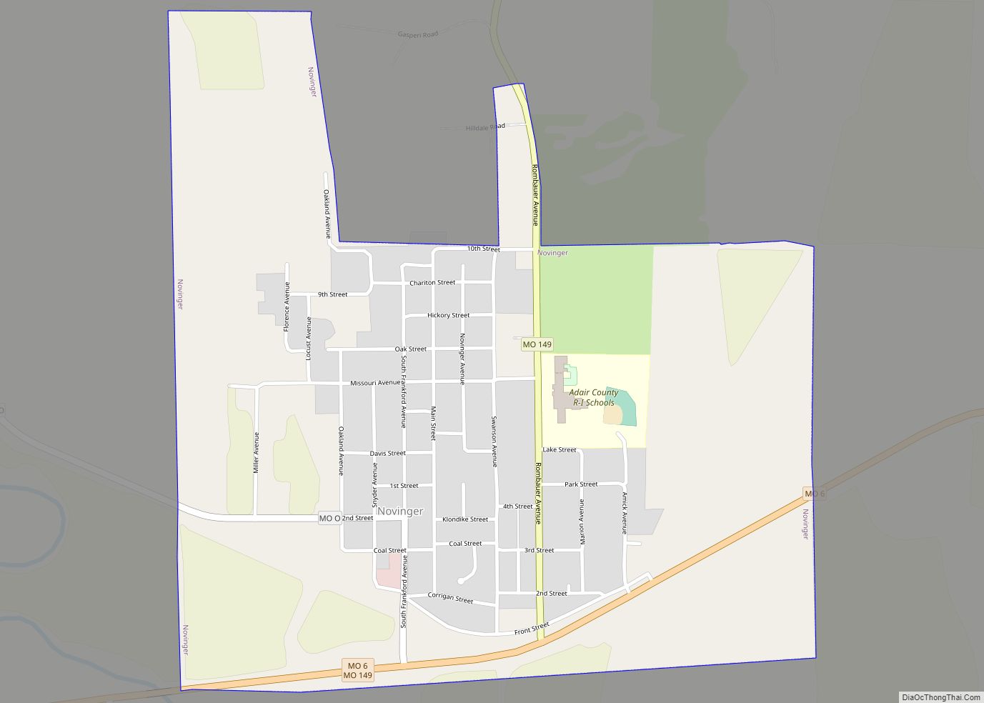
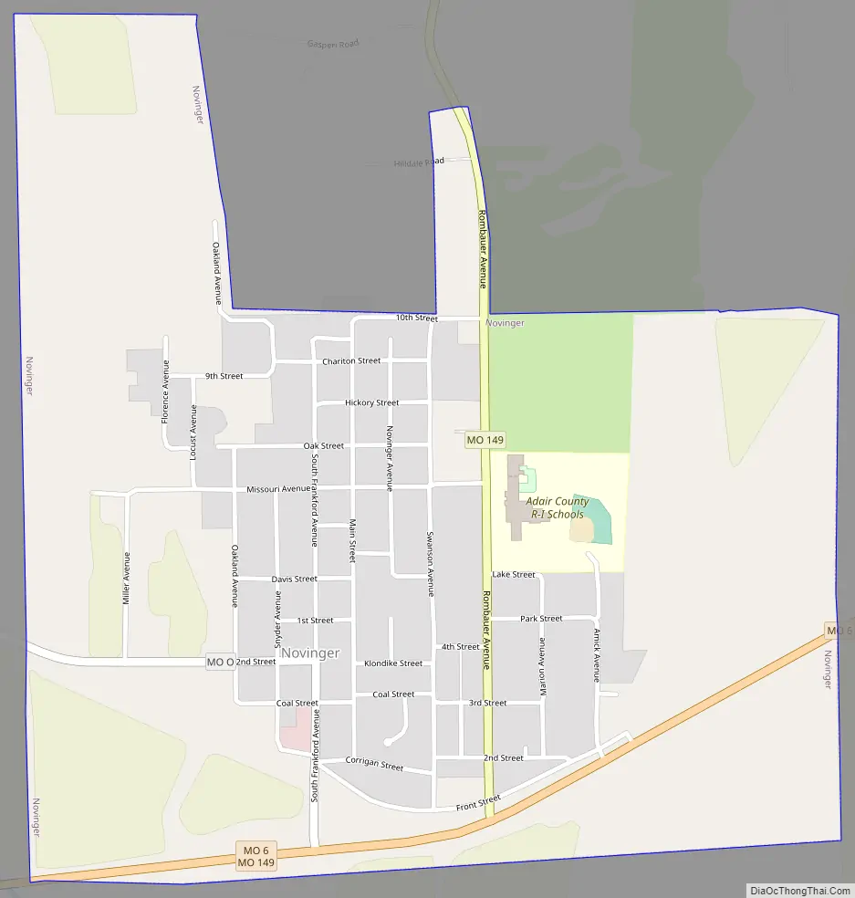
Novinger Road Map
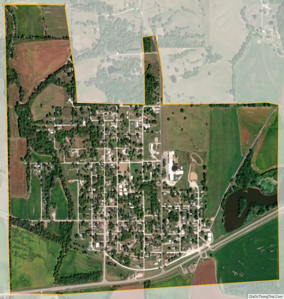
Novinger city Satellite Map
Geography
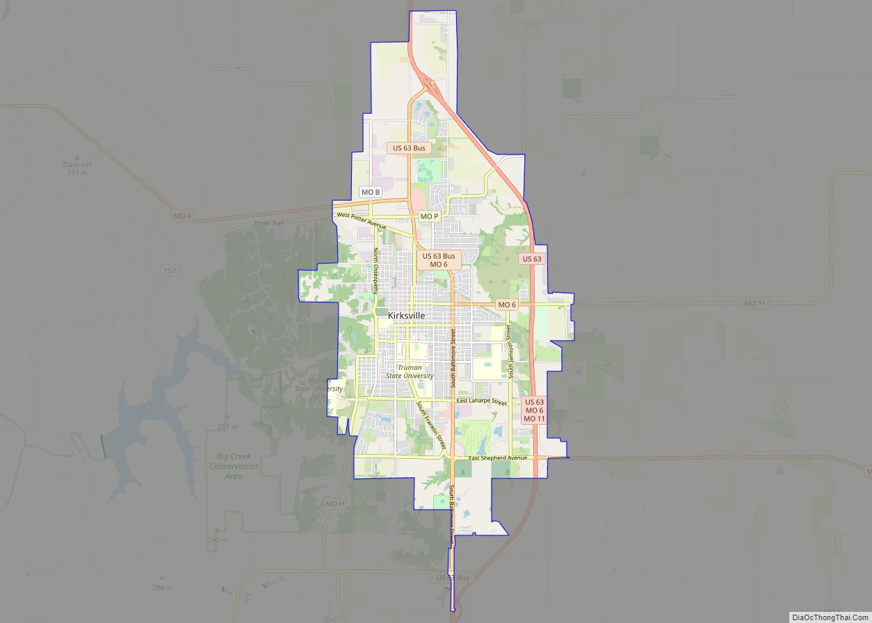
Novinger is located at the intersection of Missouri routes 6 and 149 approximately six miles west-northwest of Kirksville. The confluence of Spring Creek and the Chariton River is one mile southeast.
According to the United States Census Bureau, the city has a total area of 0.80 square miles (2.07 km), of which 0.79 square miles (2.05 km) is land and 0.01 square miles (0.03 km) is water.
See also
Map of Missouri State and its subdivision:- Adair
- Andrew
- Atchison
- Audrain
- Barry
- Barton
- Bates
- Benton
- Bollinger
- Boone
- Buchanan
- Butler
- Caldwell
- Callaway
- Camden
- Cape Girardeau
- Carroll
- Carter
- Cass
- Cedar
- Chariton
- Christian
- Clark
- Clay
- Clinton
- Cole
- Cooper
- Crawford
- Dade
- Dallas
- Daviess
- De Kalb
- Dent
- Douglas
- Dunklin
- Franklin
- Gasconade
- Gentry
- Greene
- Grundy
- Harrison
- Henry
- Hickory
- Holt
- Howard
- Howell
- Iron
- Jackson
- Jasper
- Jefferson
- Johnson
- Knox
- Laclede
- Lafayette
- Lawrence
- Lewis
- Lincoln
- Linn
- Livingston
- Macon
- Madison
- Maries
- Marion
- McDonald
- Mercer
- Miller
- Mississippi
- Moniteau
- Monroe
- Montgomery
- Morgan
- New Madrid
- Newton
- Nodaway
- Oregon
- Osage
- Ozark
- Pemiscot
- Perry
- Pettis
- Phelps
- Pike
- Platte
- Polk
- Pulaski
- Putnam
- Ralls
- Randolph
- Ray
- Reynolds
- Ripley
- Saint Charles
- Saint Clair
- Saint Francois
- Saint Louis
- Sainte Genevieve
- Saline
- Schuyler
- Scotland
- Scott
- Shannon
- Shelby
- Stoddard
- Stone
- Sullivan
- Taney
- Texas
- Vernon
- Warren
- Washington
- Wayne
- Webster
- Worth
- Wright
- Alabama
- Alaska
- Arizona
- Arkansas
- California
- Colorado
- Connecticut
- Delaware
- District of Columbia
- Florida
- Georgia
- Hawaii
- Idaho
- Illinois
- Indiana
- Iowa
- Kansas
- Kentucky
- Louisiana
- Maine
- Maryland
- Massachusetts
- Michigan
- Minnesota
- Mississippi
- Missouri
- Montana
- Nebraska
- Nevada
- New Hampshire
- New Jersey
- New Mexico
- New York
- North Carolina
- North Dakota
- Ohio
- Oklahoma
- Oregon
- Pennsylvania
- Rhode Island
- South Carolina
- South Dakota
- Tennessee
- Texas
- Utah
- Vermont
- Virginia
- Washington
- West Virginia
- Wisconsin
- Wyoming