Oak Grove is a city in Jackson and Lafayette counties in the U.S. state of Missouri. The population was 8,157 at the 2020 census. It is part of the Kansas City metropolitan area.
| Name: | Oak Grove city |
|---|---|
| LSAD Code: | 25 |
| LSAD Description: | city (suffix) |
| State: | Missouri |
| County: | Jackson County, Lafayette County |
| Elevation: | 863 ft (263 m) |
| Total Area: | 6.43 sq mi (16.65 km²) |
| Land Area: | 6.41 sq mi (16.60 km²) |
| Water Area: | 0.02 sq mi (0.05 km²) |
| Total Population: | 8,157 |
| Population Density: | 1,272.34/sq mi (491.28/km²) |
| FIPS code: | 2953624 |
| GNISfeature ID: | 2395283 |
| Website: | www.cityofoakgrove.com |
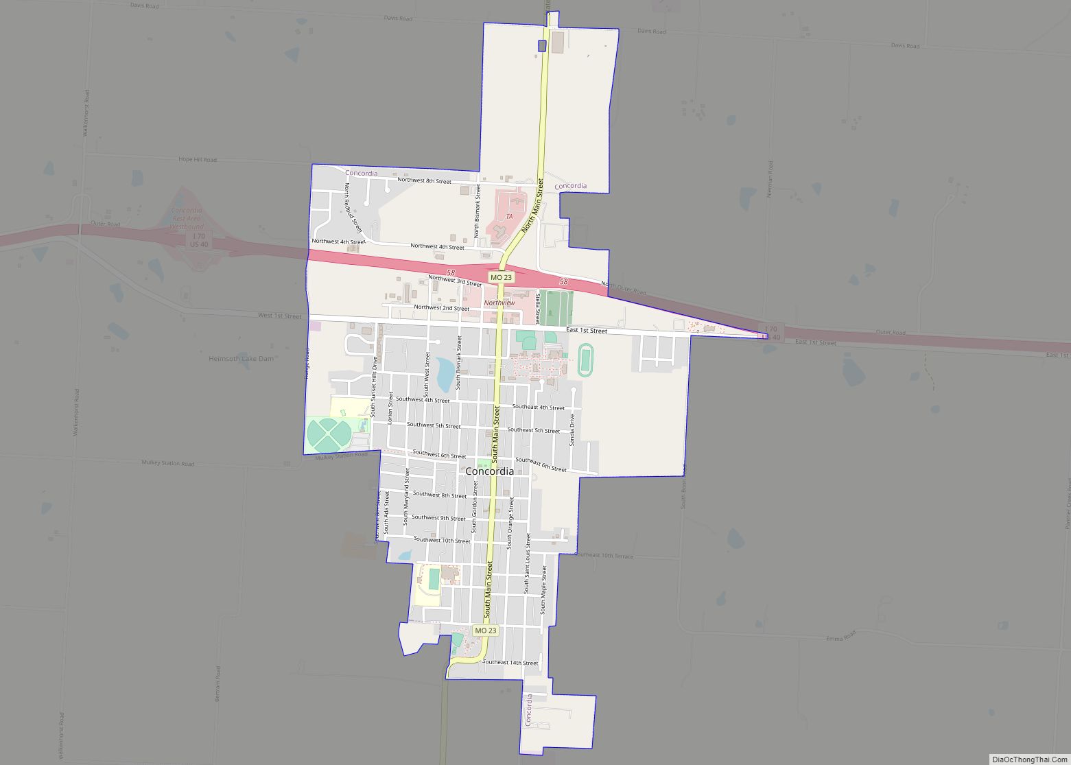
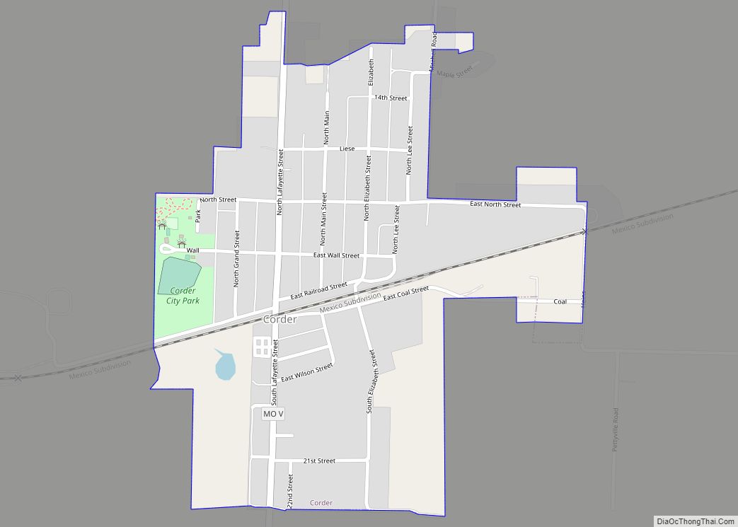
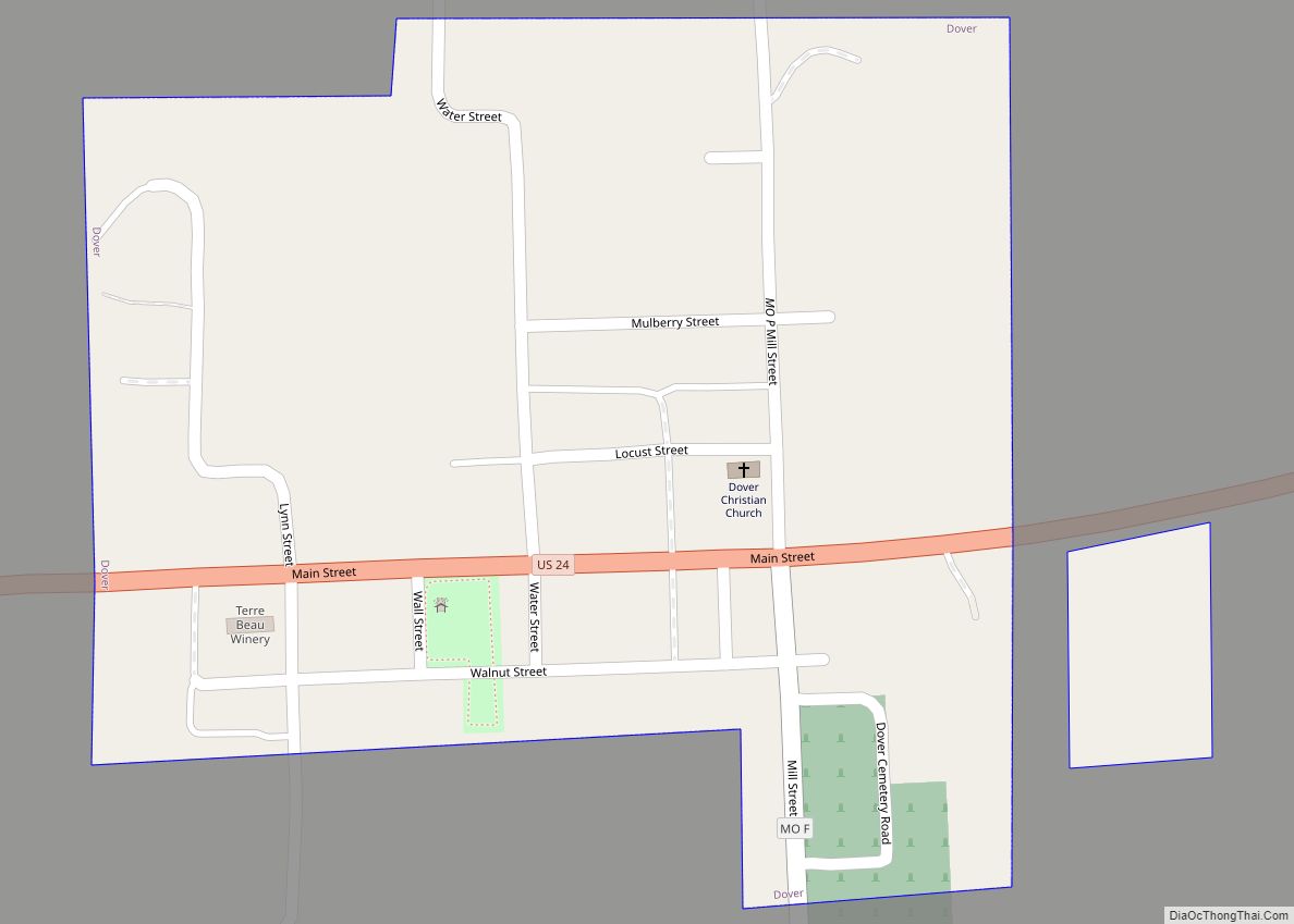
Online Interactive Map
Click on ![]() to view map in "full screen" mode.
to view map in "full screen" mode.
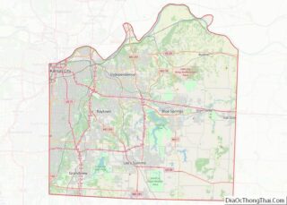
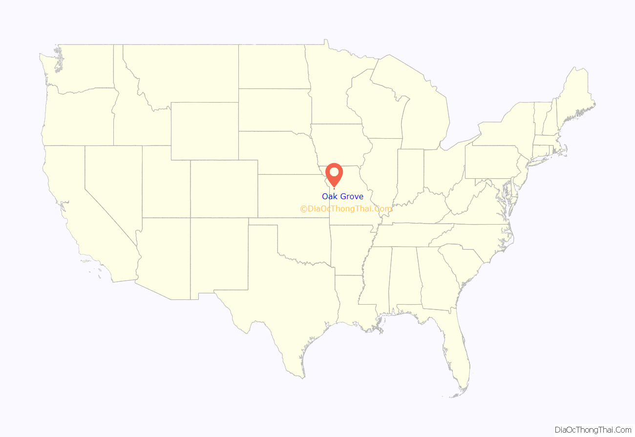
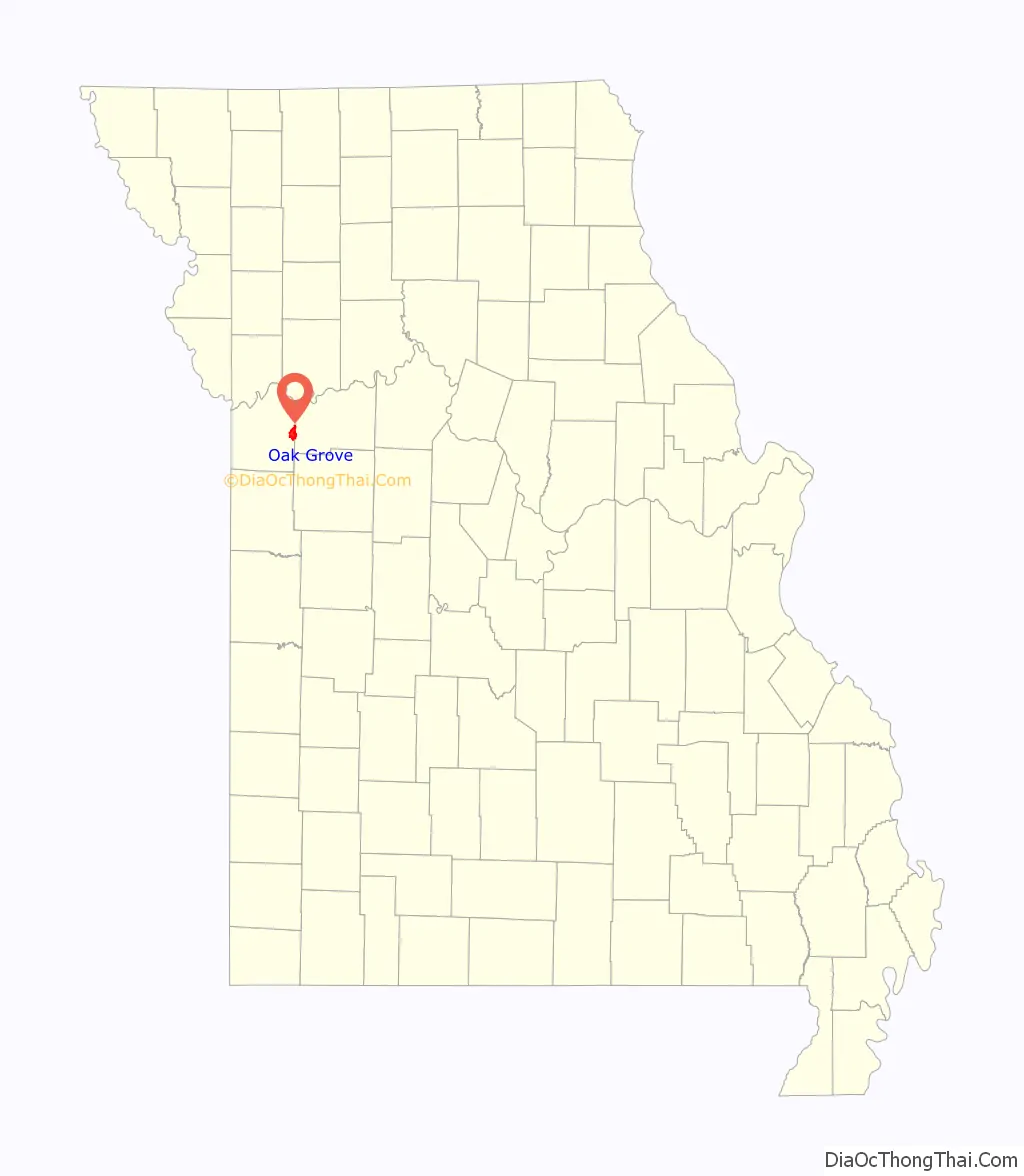
Oak Grove location map. Where is Oak Grove city?
History
A post office called Oak Grove has been in operation since 1840, however the town was originally called Lickskillet. The city was not platted until 1878. It was named for a grove of oak trees near the original town site.
2017 tornado
On March 6, 2017, just before 9:00 pm CDT (03:00 UTC), a tornado touched down near the western edge of Oak Grove and tracked eastward across the city. 483 houses and 12 businesses were damaged, particularly between 25th and Broadway Streets across the southern part of the city. A total of fifteen people suffered injuries, but remarkably there were no fatalities. Communications were lost and power was knocked out to many areas. The National Weather Service rated the tornado EF3. Missouri Governor Eric Greitens declared a state of emergency for the area, and traveled to Oak Grove on March 7, where he visited first responders and tornado victims.
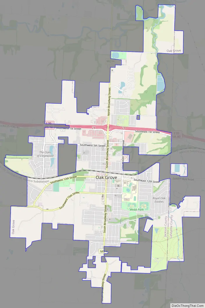
Oak Grove Road Map
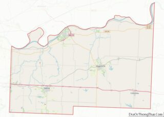
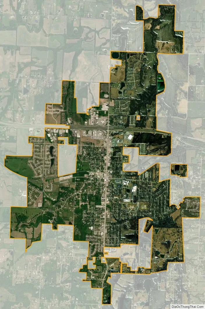
Oak Grove city Satellite Map
Geography
According to the United States Census Bureau, the city has a total area of 6.19 square miles (16.03 km), of which 6.17 square miles (15.98 km) is land and 0.02 square miles (0.05 km) is water.
See also
Map of Missouri State and its subdivision:- Adair
- Andrew
- Atchison
- Audrain
- Barry
- Barton
- Bates
- Benton
- Bollinger
- Boone
- Buchanan
- Butler
- Caldwell
- Callaway
- Camden
- Cape Girardeau
- Carroll
- Carter
- Cass
- Cedar
- Chariton
- Christian
- Clark
- Clay
- Clinton
- Cole
- Cooper
- Crawford
- Dade
- Dallas
- Daviess
- De Kalb
- Dent
- Douglas
- Dunklin
- Franklin
- Gasconade
- Gentry
- Greene
- Grundy
- Harrison
- Henry
- Hickory
- Holt
- Howard
- Howell
- Iron
- Jackson
- Jasper
- Jefferson
- Johnson
- Knox
- Laclede
- Lafayette
- Lawrence
- Lewis
- Lincoln
- Linn
- Livingston
- Macon
- Madison
- Maries
- Marion
- McDonald
- Mercer
- Miller
- Mississippi
- Moniteau
- Monroe
- Montgomery
- Morgan
- New Madrid
- Newton
- Nodaway
- Oregon
- Osage
- Ozark
- Pemiscot
- Perry
- Pettis
- Phelps
- Pike
- Platte
- Polk
- Pulaski
- Putnam
- Ralls
- Randolph
- Ray
- Reynolds
- Ripley
- Saint Charles
- Saint Clair
- Saint Francois
- Saint Louis
- Sainte Genevieve
- Saline
- Schuyler
- Scotland
- Scott
- Shannon
- Shelby
- Stoddard
- Stone
- Sullivan
- Taney
- Texas
- Vernon
- Warren
- Washington
- Wayne
- Webster
- Worth
- Wright
- Alabama
- Alaska
- Arizona
- Arkansas
- California
- Colorado
- Connecticut
- Delaware
- District of Columbia
- Florida
- Georgia
- Hawaii
- Idaho
- Illinois
- Indiana
- Iowa
- Kansas
- Kentucky
- Louisiana
- Maine
- Maryland
- Massachusetts
- Michigan
- Minnesota
- Mississippi
- Missouri
- Montana
- Nebraska
- Nevada
- New Hampshire
- New Jersey
- New Mexico
- New York
- North Carolina
- North Dakota
- Ohio
- Oklahoma
- Oregon
- Pennsylvania
- Rhode Island
- South Carolina
- South Dakota
- Tennessee
- Texas
- Utah
- Vermont
- Virginia
- Washington
- West Virginia
- Wisconsin
- Wyoming