Park Hills is a city in St. Francois County, Missouri, United States. The population was 8,587 at the 2020 census.
| Name: | Park Hills city |
|---|---|
| LSAD Code: | 25 |
| LSAD Description: | city (suffix) |
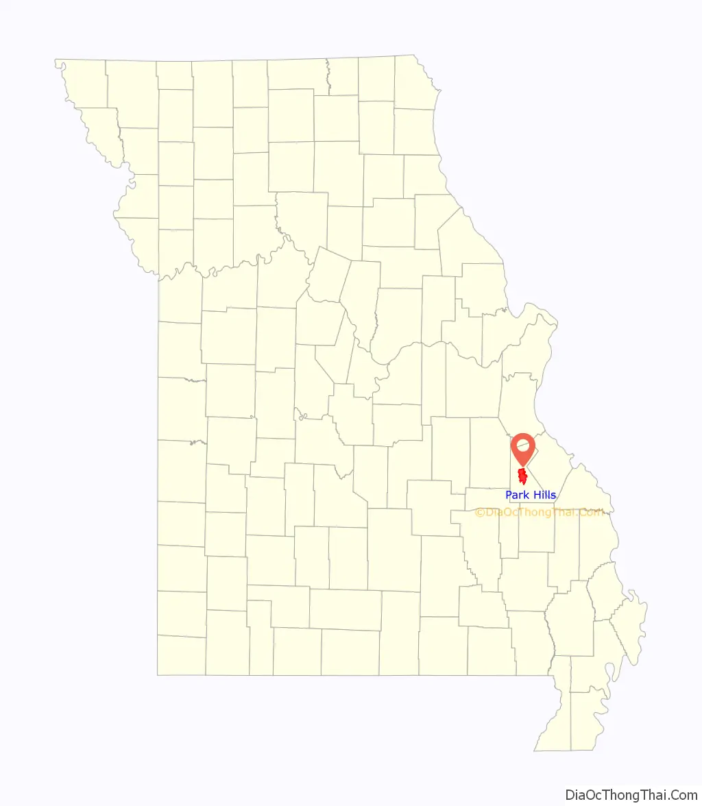
| State: | Missouri |
| County: | St. Francois County |
| Elevation: | 758 ft (231 m) |
| Total Area: | 20.43 sq mi (52.91 km²) |
| Land Area: | 20.34 sq mi (52.67 km²) |
| Water Area: | 0.09 sq mi (0.23 km²) |
| Total Population: | 8,587 |
| Population Density: | 422.24/sq mi (163.03/km²) |
| Area code: | 573 |
| FIPS code: | 2956272 |
| GNISfeature ID: | 1669609 |
| Website: | http://www.parkhillsmo.net/ |
Online Interactive Map
Click on ![]() to view map in "full screen" mode.
to view map in "full screen" mode.
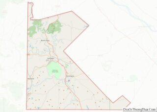
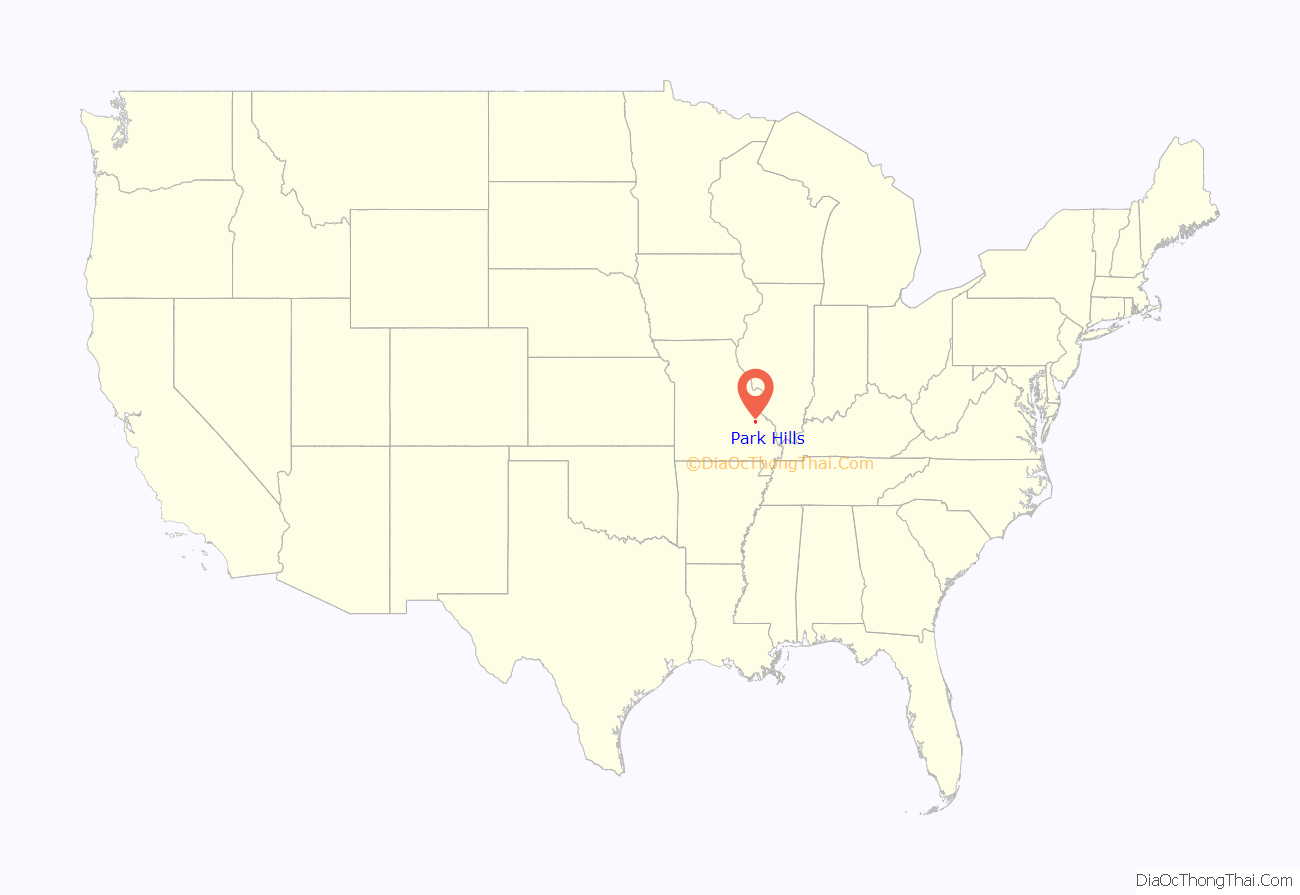
Park Hills location map. Where is Park Hills city?
History
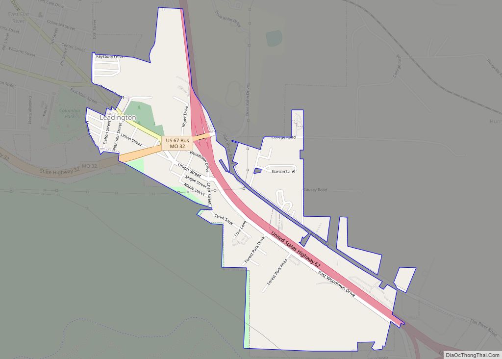
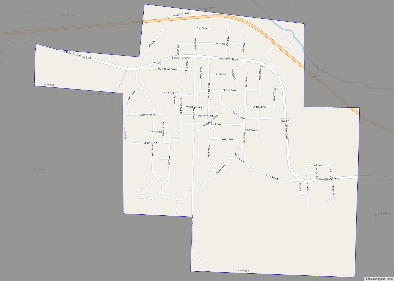
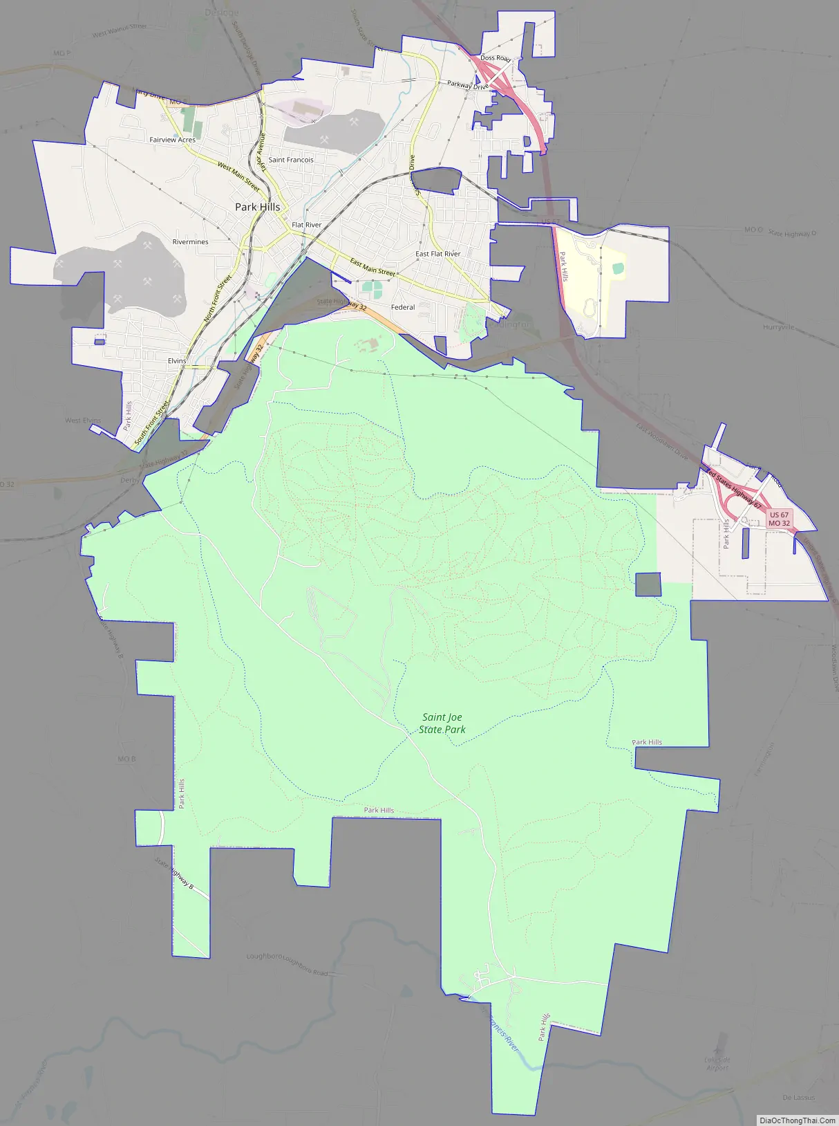
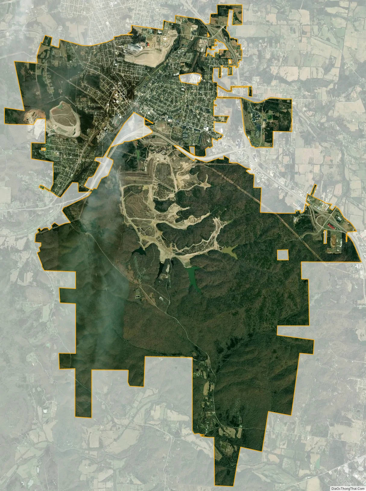
The city was formed in an unusual four-way merger that took place in January 1994, in which the cities of Flat River, Elvins, Esther and the village of Rivermines joined to form the new city of Park Hills. The formerly incorporated village of Fairview Acres had previously merged with Flat River on November 8, 1983. The name of the new city was selected by entries submitted to a committee made up of citizens of the four cities. The name Park Hills was submitted by Mildred Lee, a lifelong resident and a former teacher of Flat River. The inspiration came from its hilly terrain in the foothills of the Ozark Mountains and the many parks that surround the area. Park Hills is located 7 miles northwest of Farmington, Missouri and approximately 65 miles south of St. Louis. It is adjacent to St. Joe State Park, and nearby the state parks of St. Francois, Hawn, Elephant Rocks, Johnson’s Shut-Ins, Taum Sauk Mountain, and Washington.
Park Hills is home to Mineral Area College, formerly known as Flat River Junior College. The town is located in the Old Lead Belt, formerly a large lead mining district.
The Eugene Field School was added to the National Register of Historic Places in 2005.
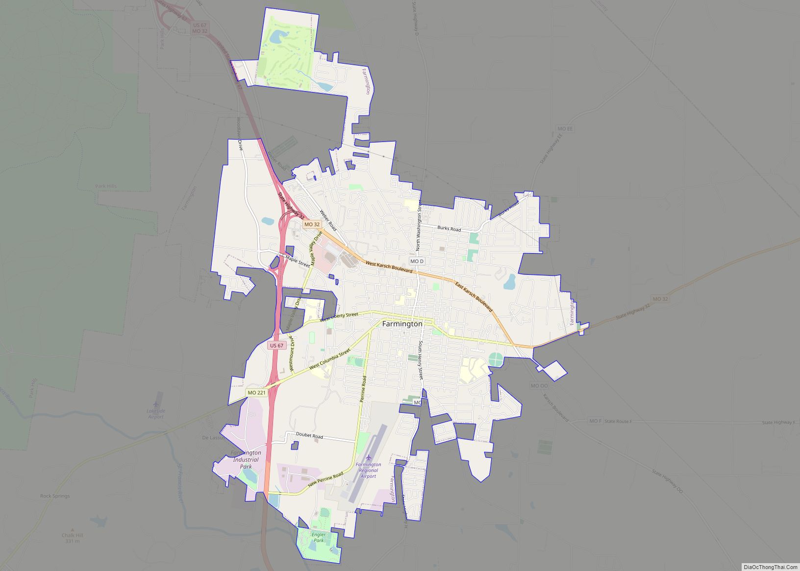
Park Hills Road Map
Park Hills city Satellite Map
Geography
Park Hills is located at 37°50′40″N 90°30′40″W / 37.84444°N 90.51111°W / 37.84444; -90.51111 (37.844538, -90.511038).
According to the United States Census Bureau, the city has a total area of 20.42 square miles (52.89 km), of which 20.33 square miles (52.65 km) is land and 0.09 square miles (0.23 km) is water.
See also
Map of Missouri State and its subdivision:- Adair
- Andrew
- Atchison
- Audrain
- Barry
- Barton
- Bates
- Benton
- Bollinger
- Boone
- Buchanan
- Butler
- Caldwell
- Callaway
- Camden
- Cape Girardeau
- Carroll
- Carter
- Cass
- Cedar
- Chariton
- Christian
- Clark
- Clay
- Clinton
- Cole
- Cooper
- Crawford
- Dade
- Dallas
- Daviess
- De Kalb
- Dent
- Douglas
- Dunklin
- Franklin
- Gasconade
- Gentry
- Greene
- Grundy
- Harrison
- Henry
- Hickory
- Holt
- Howard
- Howell
- Iron
- Jackson
- Jasper
- Jefferson
- Johnson
- Knox
- Laclede
- Lafayette
- Lawrence
- Lewis
- Lincoln
- Linn
- Livingston
- Macon
- Madison
- Maries
- Marion
- McDonald
- Mercer
- Miller
- Mississippi
- Moniteau
- Monroe
- Montgomery
- Morgan
- New Madrid
- Newton
- Nodaway
- Oregon
- Osage
- Ozark
- Pemiscot
- Perry
- Pettis
- Phelps
- Pike
- Platte
- Polk
- Pulaski
- Putnam
- Ralls
- Randolph
- Ray
- Reynolds
- Ripley
- Saint Charles
- Saint Clair
- Saint Francois
- Saint Louis
- Sainte Genevieve
- Saline
- Schuyler
- Scotland
- Scott
- Shannon
- Shelby
- Stoddard
- Stone
- Sullivan
- Taney
- Texas
- Vernon
- Warren
- Washington
- Wayne
- Webster
- Worth
- Wright
- Alabama
- Alaska
- Arizona
- Arkansas
- California
- Colorado
- Connecticut
- Delaware
- District of Columbia
- Florida
- Georgia
- Hawaii
- Idaho
- Illinois
- Indiana
- Iowa
- Kansas
- Kentucky
- Louisiana
- Maine
- Maryland
- Massachusetts
- Michigan
- Minnesota
- Mississippi
- Missouri
- Montana
- Nebraska
- Nevada
- New Hampshire
- New Jersey
- New Mexico
- New York
- North Carolina
- North Dakota
- Ohio
- Oklahoma
- Oregon
- Pennsylvania
- Rhode Island
- South Carolina
- South Dakota
- Tennessee
- Texas
- Utah
- Vermont
- Virginia
- Washington
- West Virginia
- Wisconsin
- Wyoming